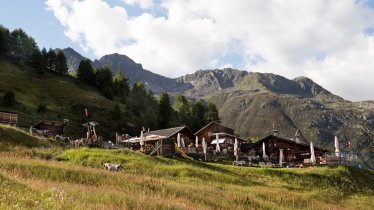
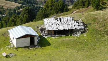
The Siegerlandhütte (2,710 metres) is a mountain hut in the Stubai Alps providing a good base camp for hikers wishing to take on the 3,000-metre peaks at the end of the Windachtal Valley.
Classic mountain hut near the Stubai Valley's highest peaks
German Alpine Club, Siegerland Division
The eye-catching stone facade of the Siegerlandhütte marks it out as a solid base in the mountains for walkers, hikers and climbers at the end of the Windachtal Valley. Visitors arriving from the village of Sölden must complete a relatively long approach as they leave the valley behind and head into the highest mountains the Stubai Alps have to offer, including the famous Zuckerhütl and Sonklarspitze. Those wishing to take on these mighty peaks need alpine experience and advanced climbing skills, though the hike to the nearby Scheiblehnkogel is less challenging. The hut itself was built in 1928/1929 and has been extended several times since. The food is delicious and the accommodation is cosy.
How to get to the Siegerlandhütte
From Sölden in 5 hours, from Fiegls Gasthof / Windachalm in 3 hours, from Moos / Schönau in South Tirol (Italy) in 4 hours
Walks and hikes in the area (walking time to summit)
Scheiblehnkogel (3,060 metres), 1.75 hours, intermediate
Zuckerhütl (3,507 metres), 4 hours, difficult, (glacier equipment required)
Sonklarspitze (3,463 metres), 3 hours, difficult (glacier equipment required)
Gaiskogel (3,129 metres), 2.75 hours, difficult
Triebenkarsee (2,695 metres), 45 minutes, intermediate
Further huts in the area, long-distance hiking trails
Brunnenkogelhaus, 4.25 hours
Hildesheimer Hütte, 3.25 hours
Hochstubaihütte, 5.25 hours
Müllerhütte, South Tirol (Rif. Cima Libera), 3.5 hours
Becherhaus, South Tirol (Rif. Biasi al Bicchiere), 3.75 hours
The Siegerlandhütte is located on the Ötztal Trek (Stage 7/8).
Classic mountain hut near the Stubai Valley's highest peaks German Alpine Club, Siegerland Division The eye-catching stone facade of the…


