Arrival by public transport
Take the regional bus (line 4080 to Achenkirch, then line 7801 to Steinberg am Rofan) and get off at the "Achenkirch Abzw Gufferthütte" stop near the Köglboden car park.
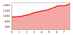
MTB route from Köglboden car park to Gufferthütte: 7.8km on forest roads along the Ampelsbach, climbing 510 metres to the mountain hut at 1,475m.
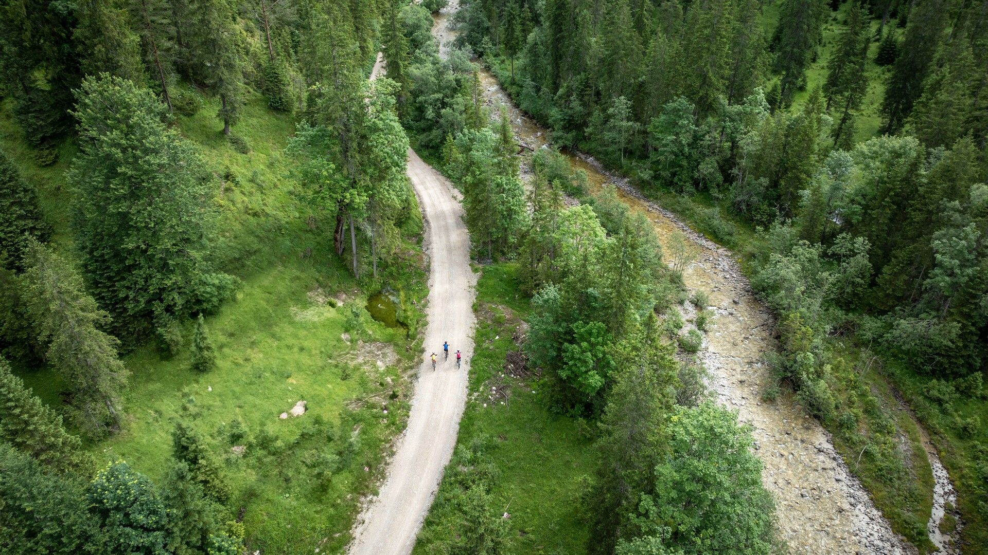
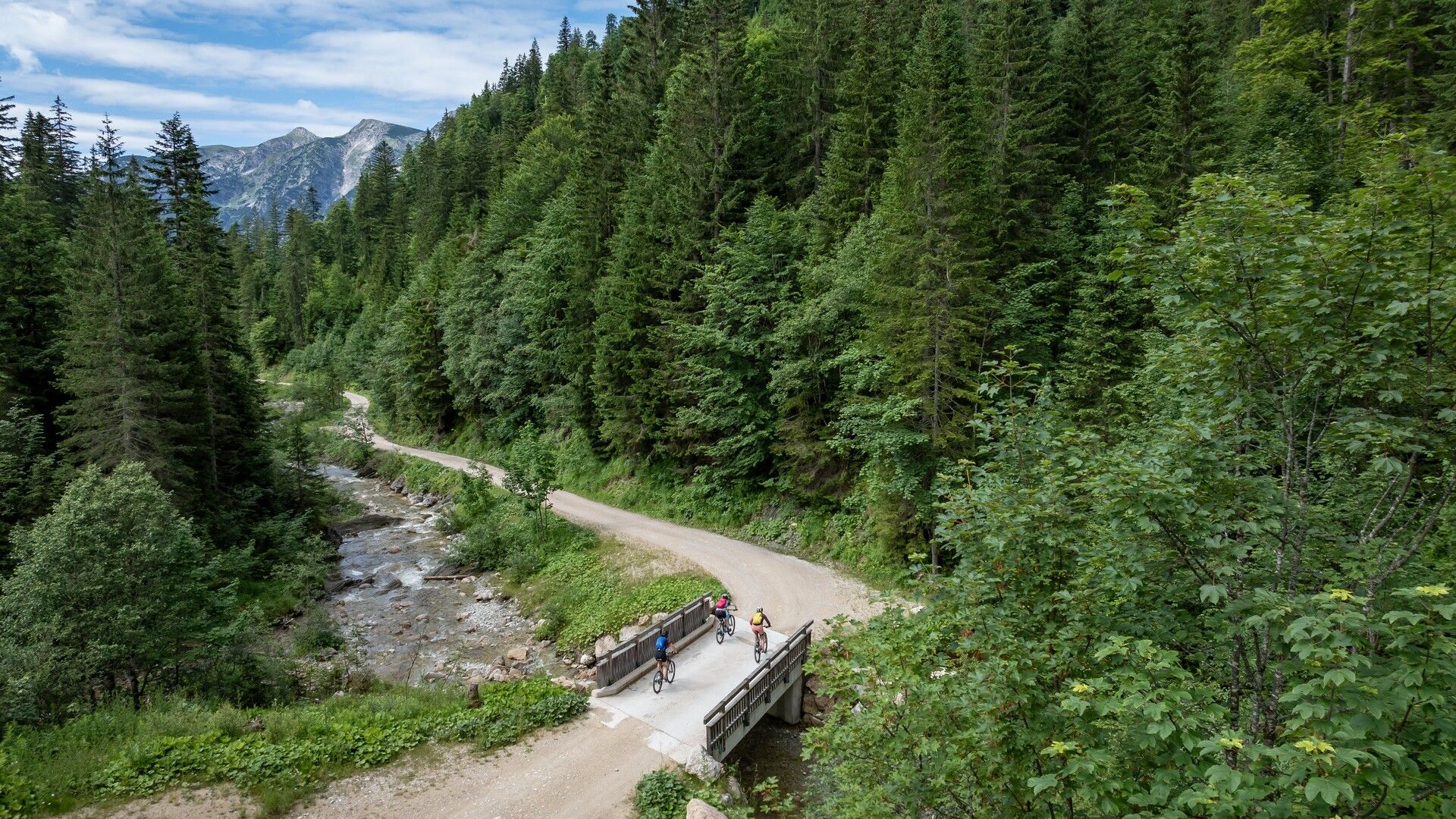
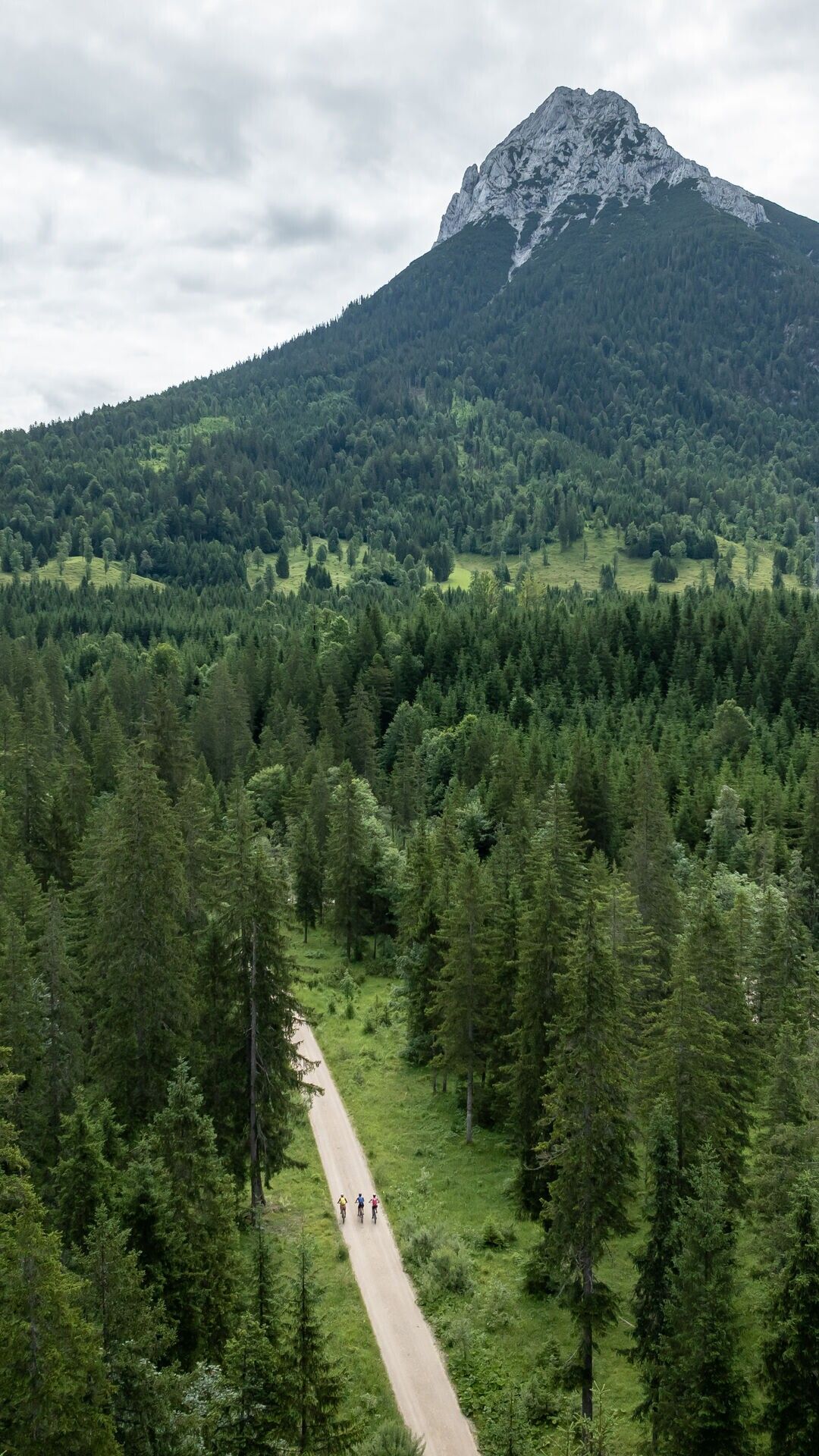
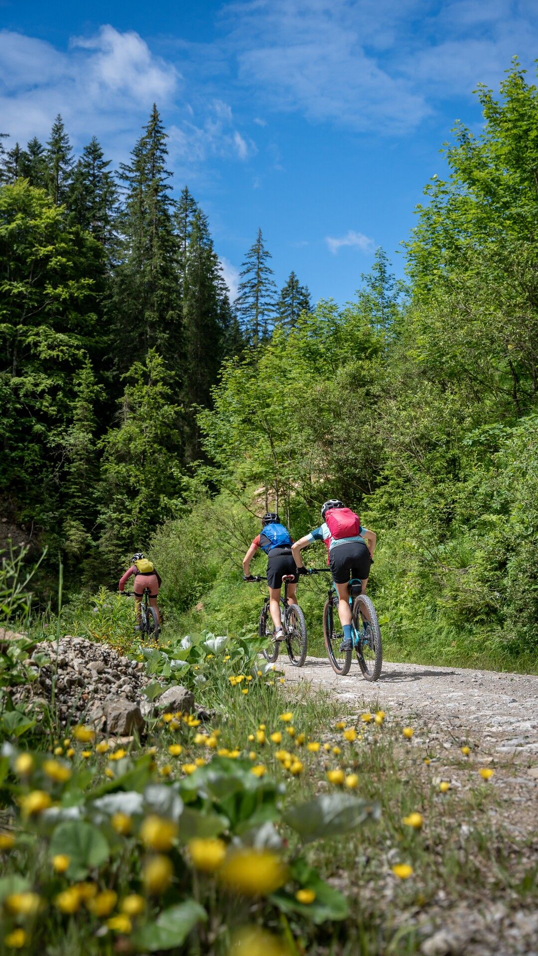
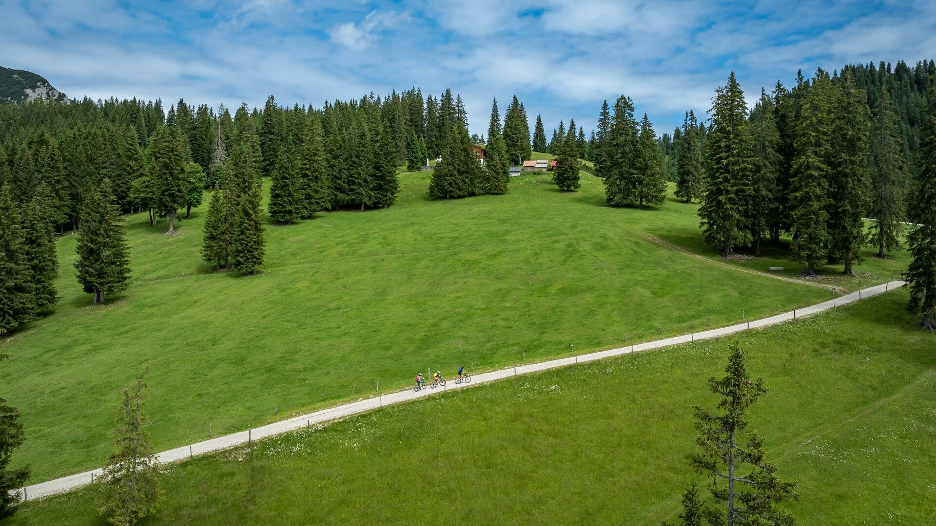
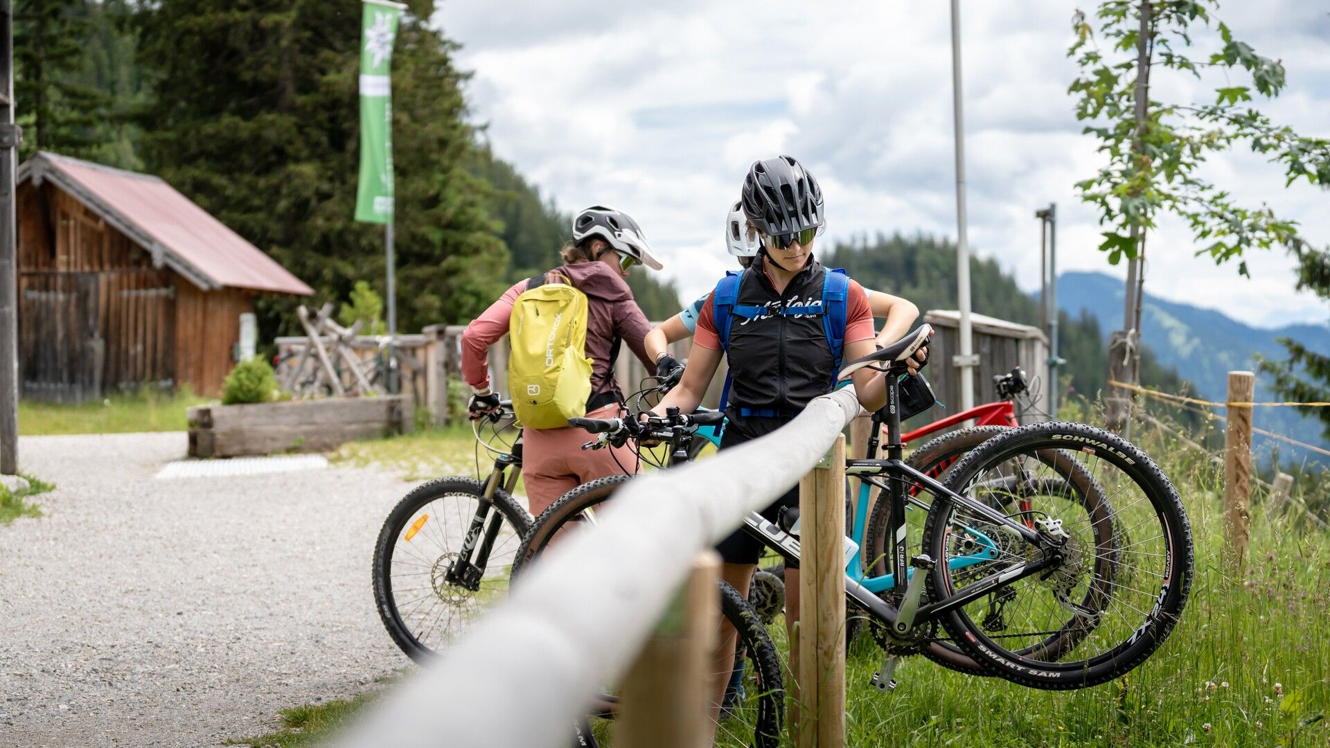
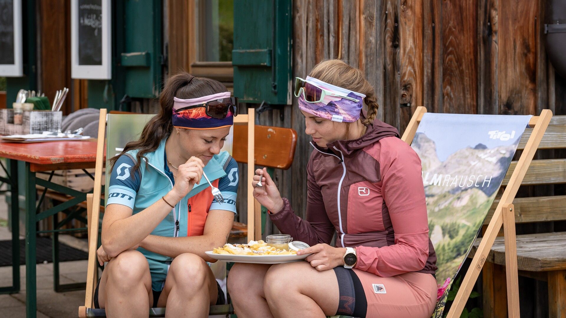
From the starting point, a forest road climbs alongside the Ampelsbach stream to a bridge, then turns left and continues at a 10% gradient. The route turns right and leads to the beautifully situated Gufferthütte (serviced). From there, a circular walk leads to the Rhaetian rock inscriptions.
Note: The distances given indicate the length of the one-way route, as shown on the map and in the elevation profile.
Take the regional bus (line 4080 to Achenkirch, then line 7801 to Steinberg am Rofan) and get off at the "Achenkirch Abzw Gufferthütte" stop near the Köglboden car park.
Köglboden car park in Steinberg am Rofan (paid parking)

-min.jpg")
Erwin Haiden, bikeboard.at.jpg")


")


Andi Frank (247).jpg")

")


.jpg")
.jpg")
