Mountainbike-Tour 436 Panoramaweg

Difficulty ratings: medium
Route length: 11.6 km
Duration: 1:30 h

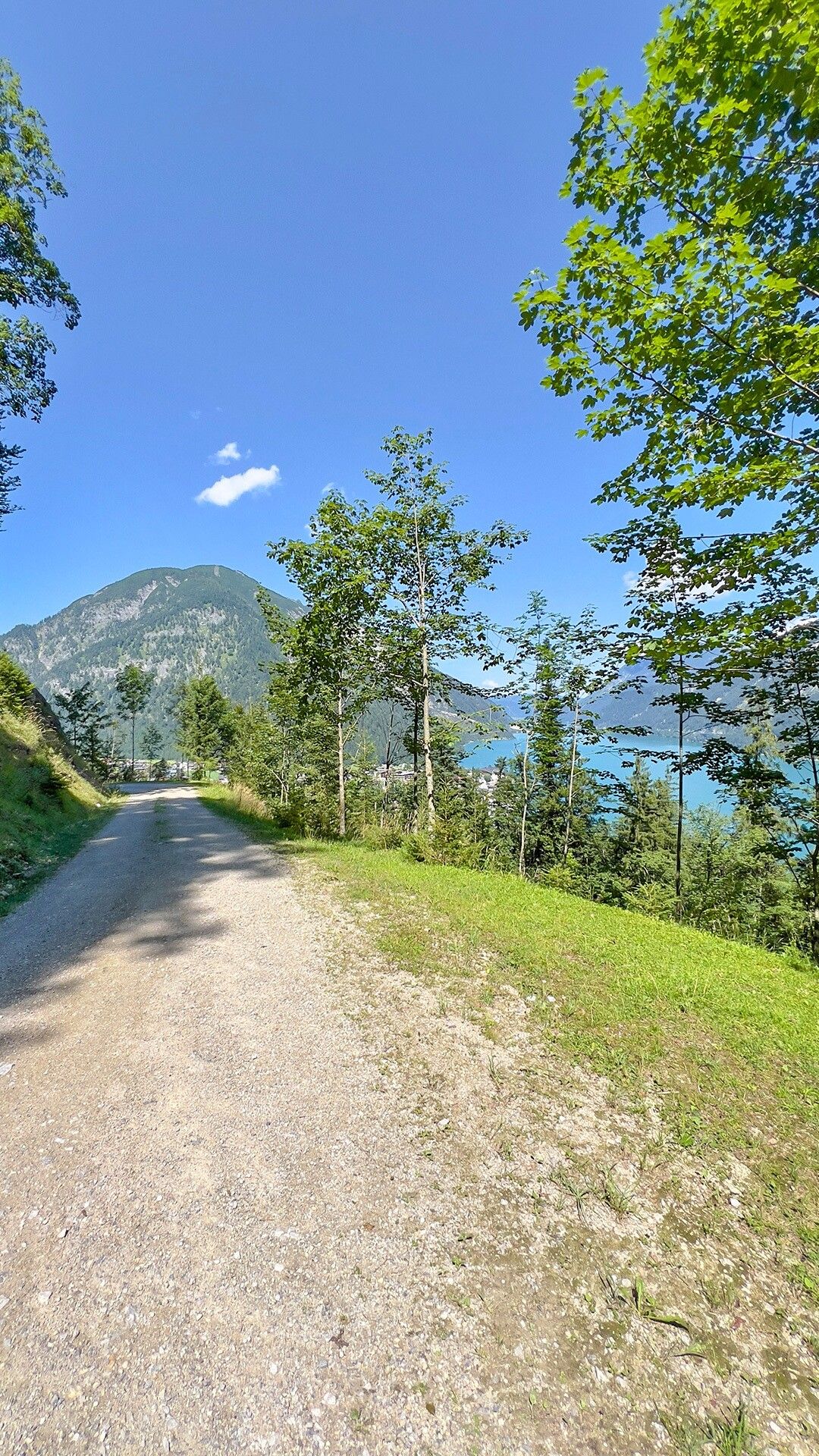
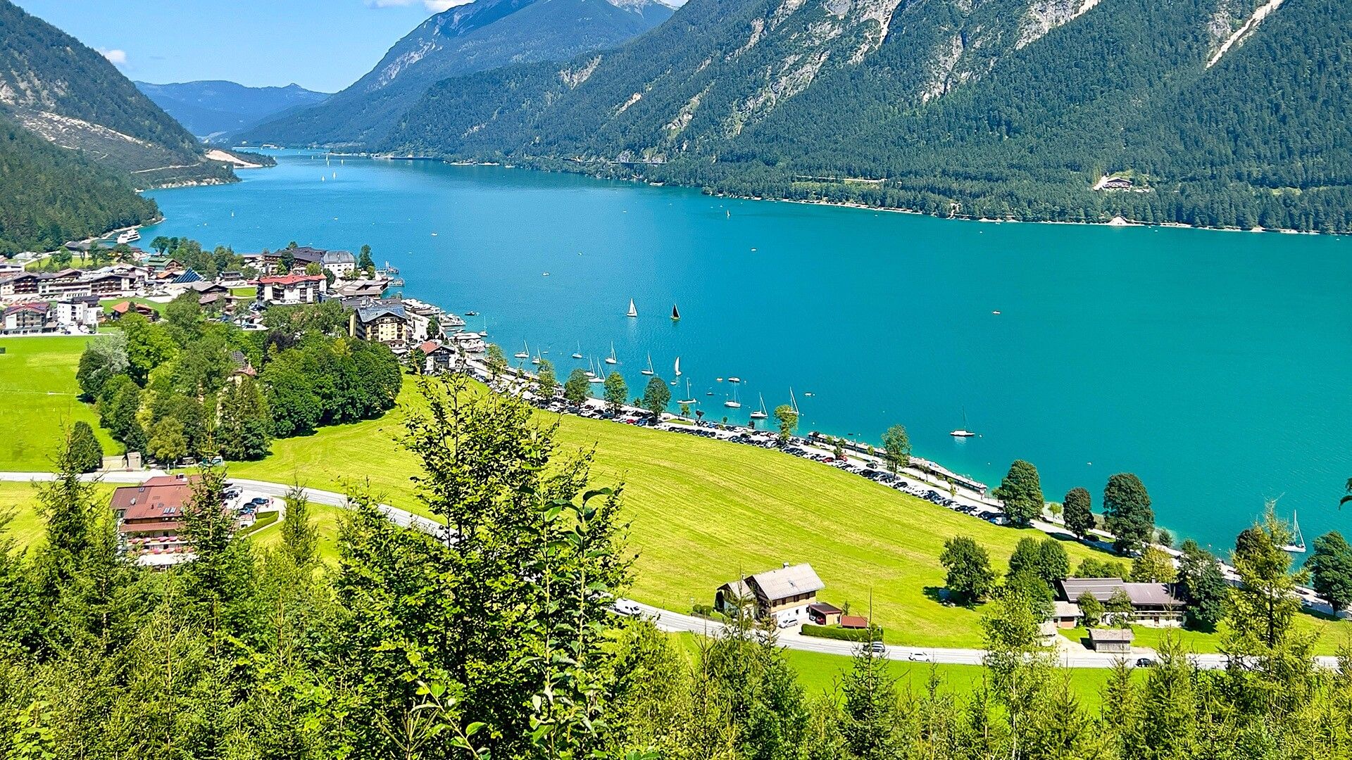
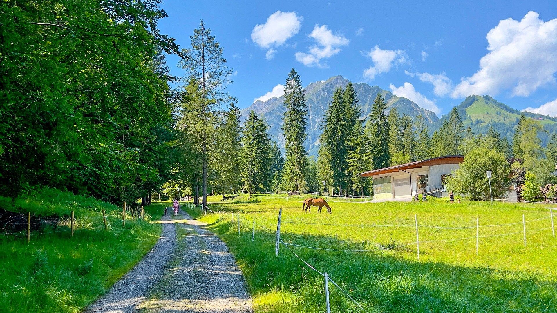
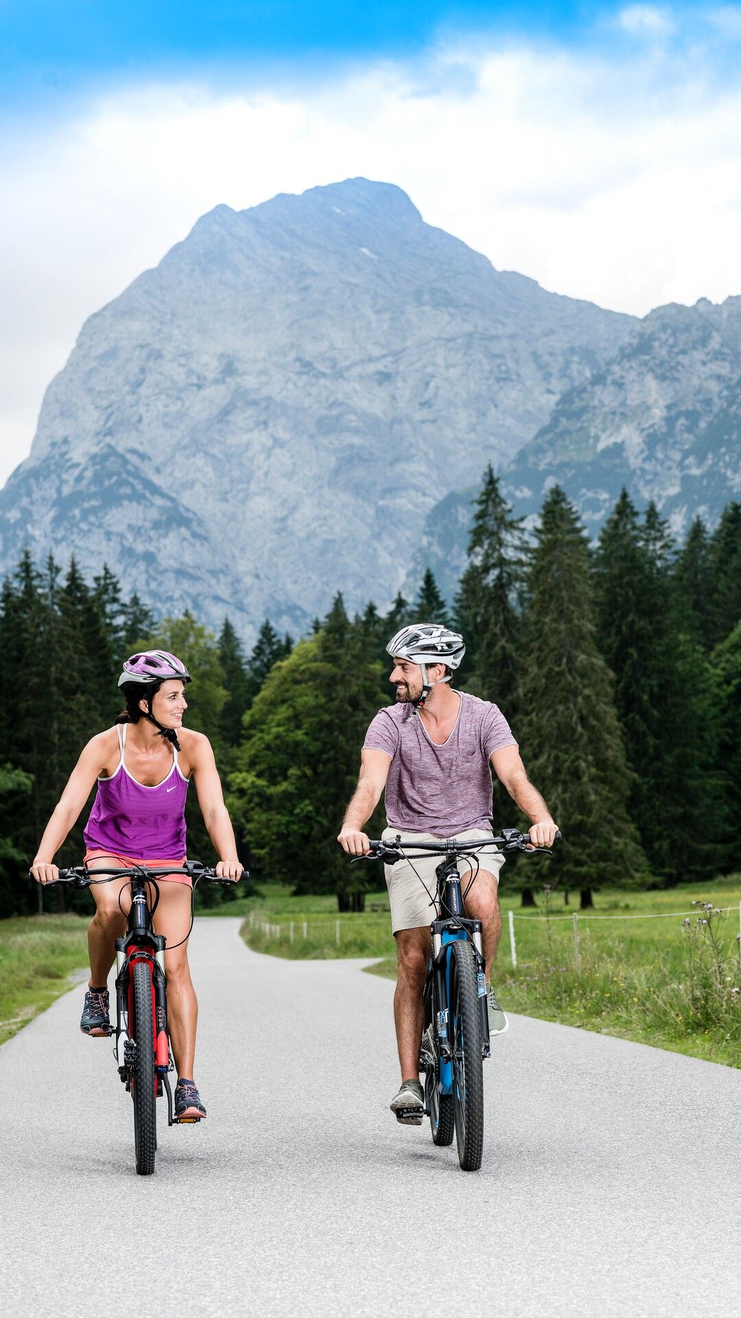
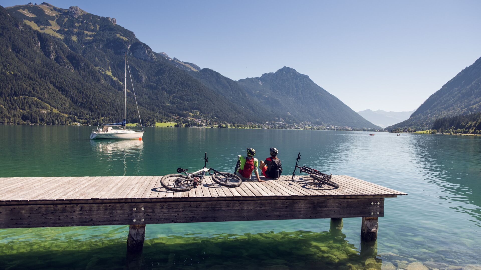
MTB circular route in Pertisau: 11.6km with 280 metres of elevation gain through the Gufelwald forest and Tristenau Valley, returning along Lake Achensee.

Tour information

  • Requirement: medium
  • Length: 11.6 km
  • Duration: 1:30 h
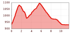
  • Elevation uphill:280 hm
  • Elevation downhill:270 hm
Highest point1,104 m

Starting point

Pertisau, car park southeast of the Seehotel St. Hubertus

Finishing point

Pertisau, car park southeast of the Seehotel St. Hubertus
  • Fitness level 2 / 6
  • Technique 1 / 6

Features

  • Circular route

Best time of year

  • January
  • February
  • March
  • April
  • May
  • June
  • July
  • August
  • September
  • October
  • November
  • December

Trail condition

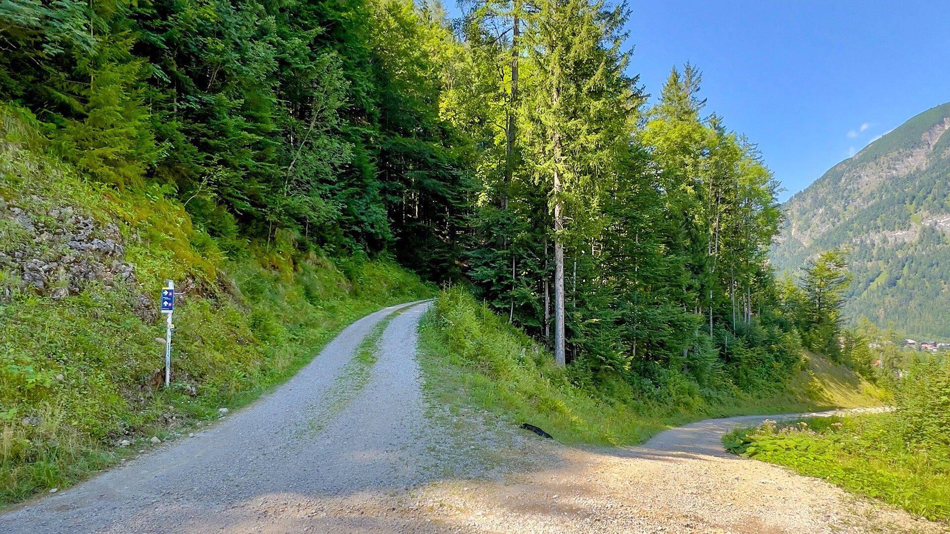
gravel road

Equipment

Breathable weather appropriate clothing, helmet, gloves, sunglasses, maps, repair kit and tools. For tours without opportunities for refreshments, make sure to pack sufficient food and drink.
Source: Achensee Tourismus

Description

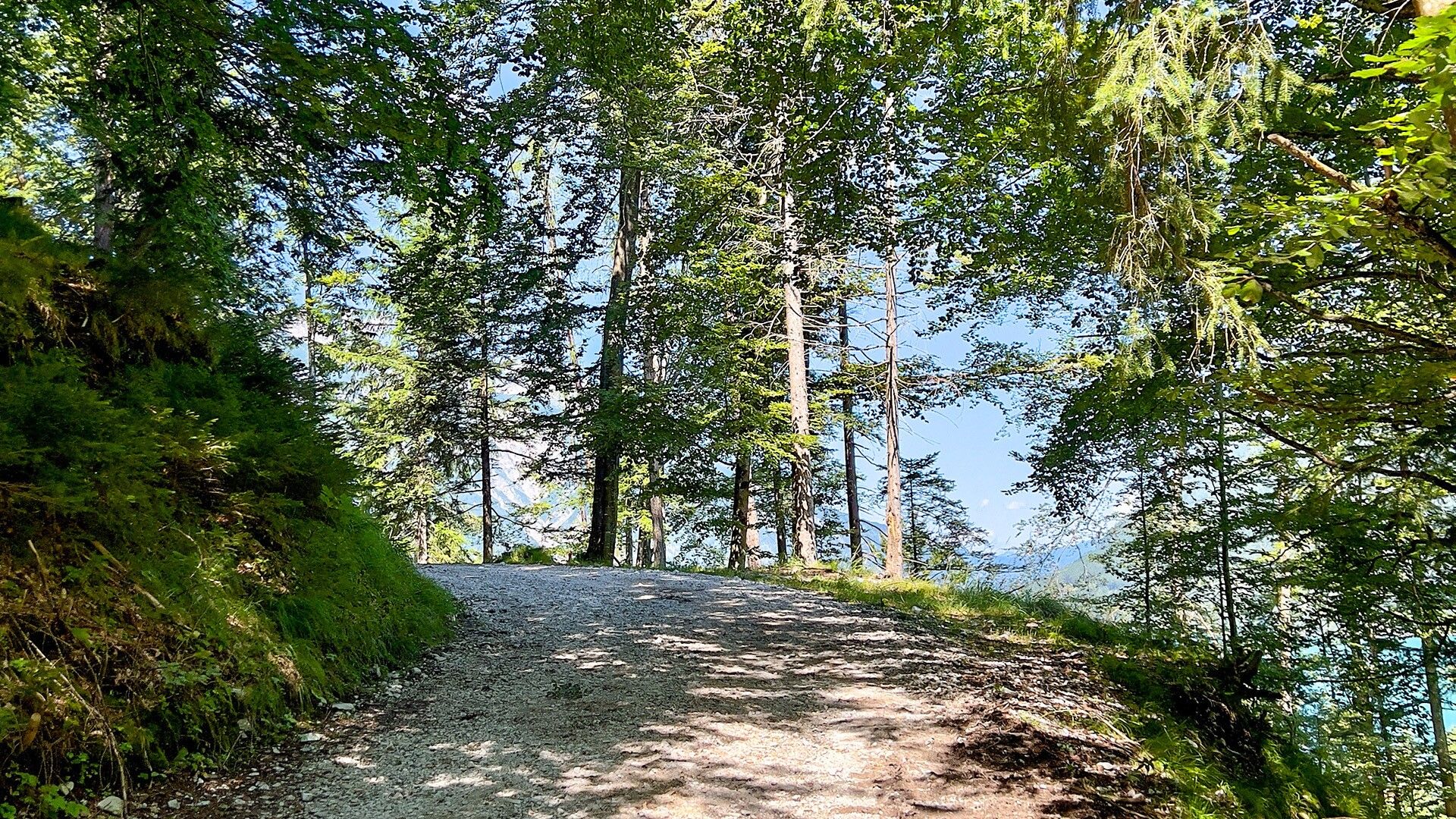
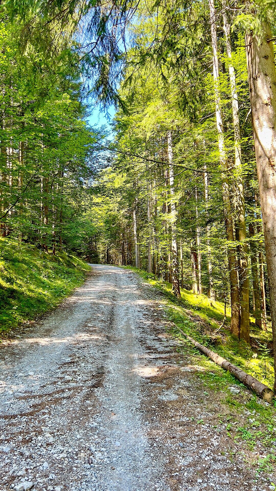
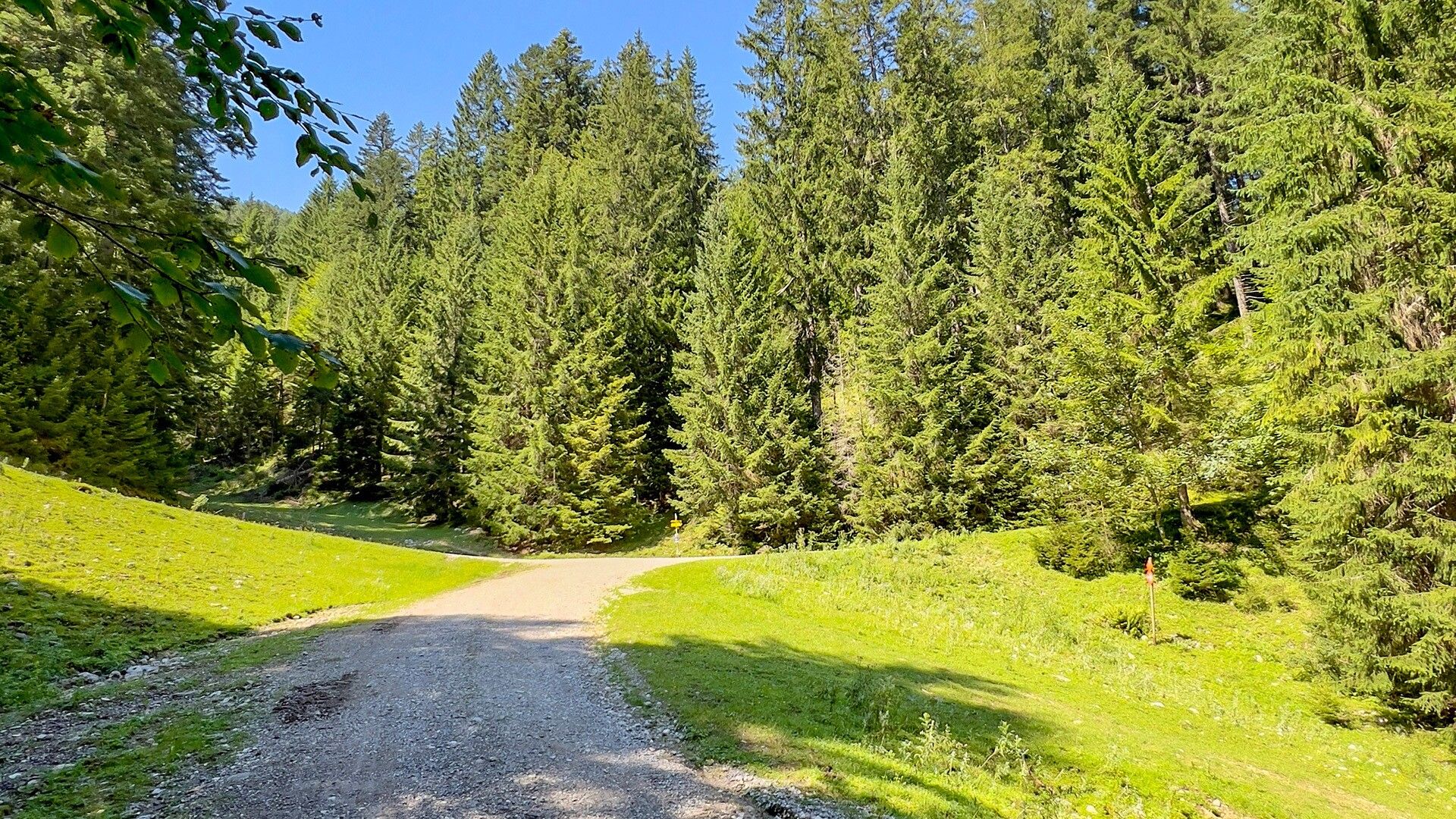
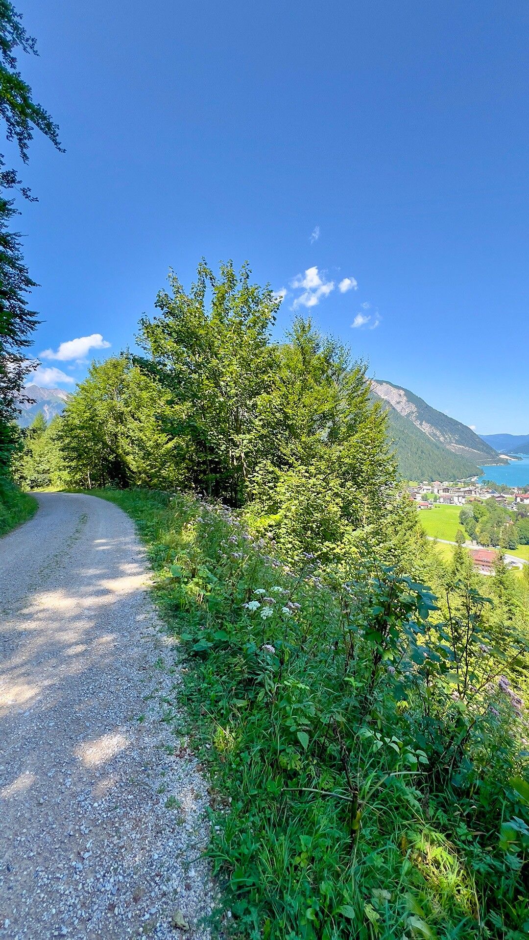
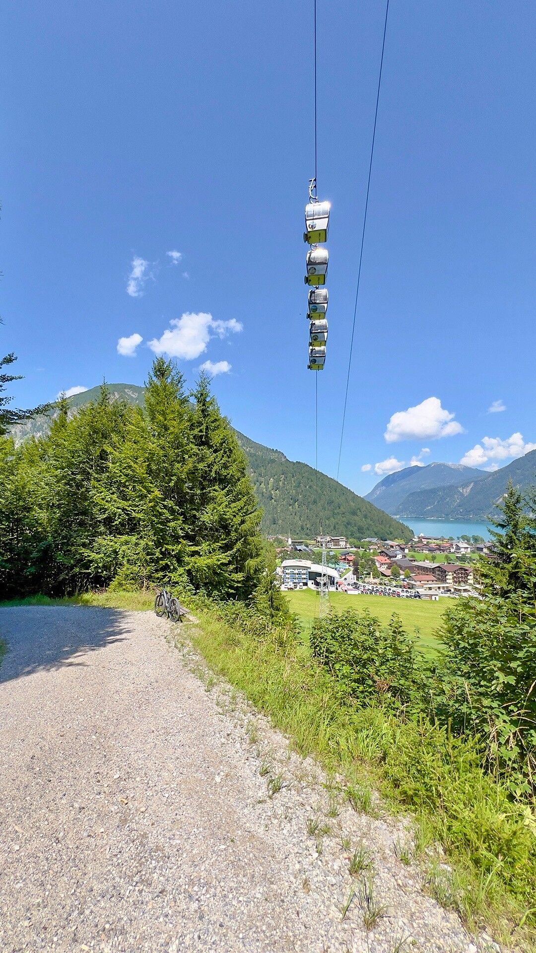
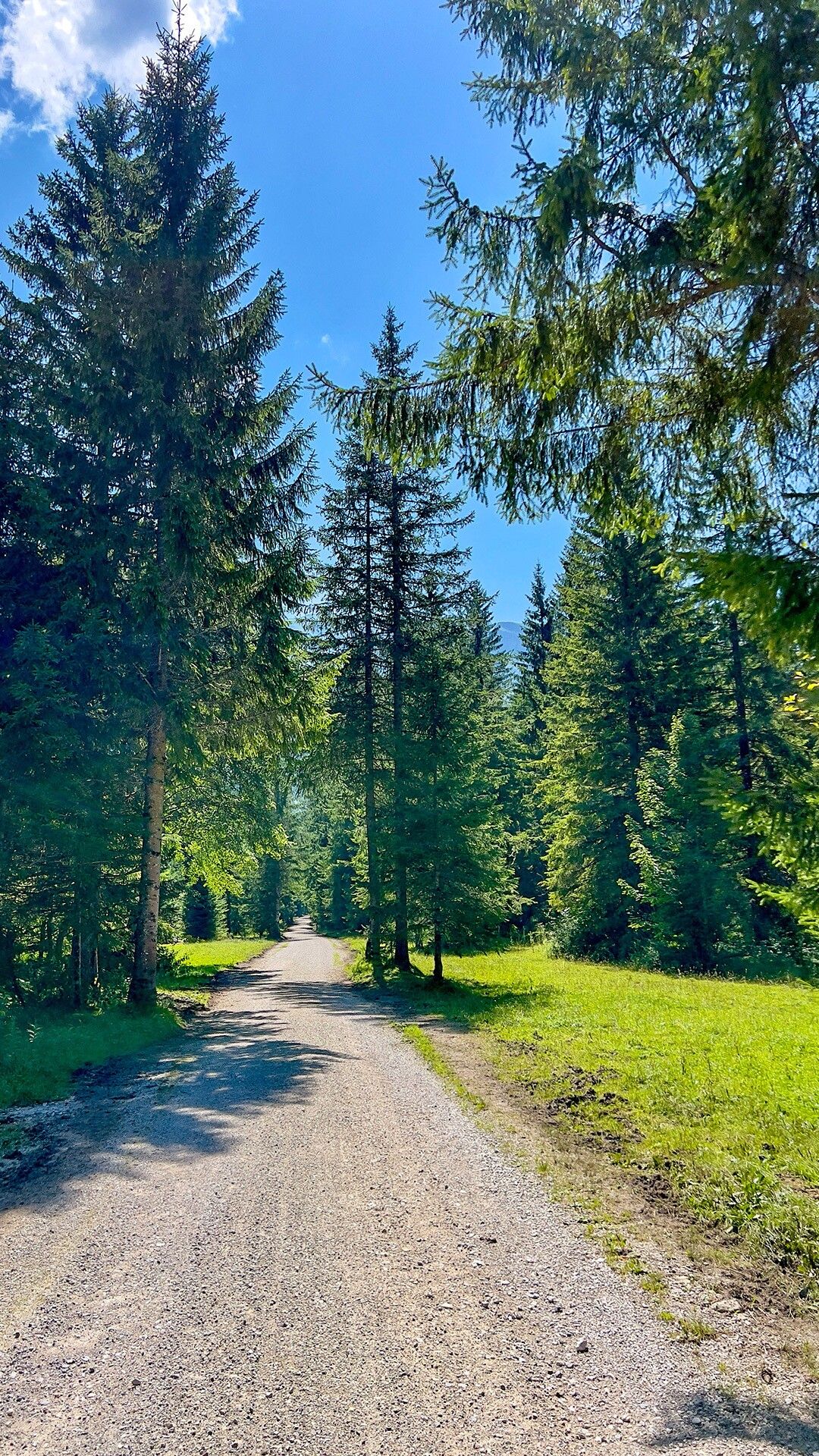
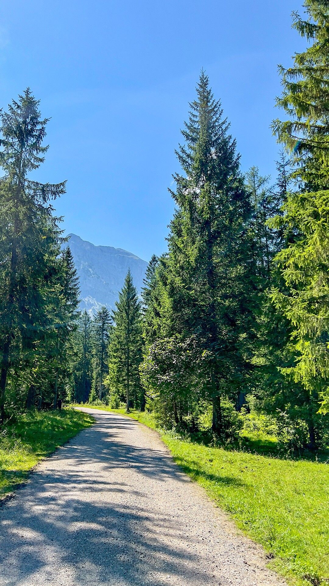
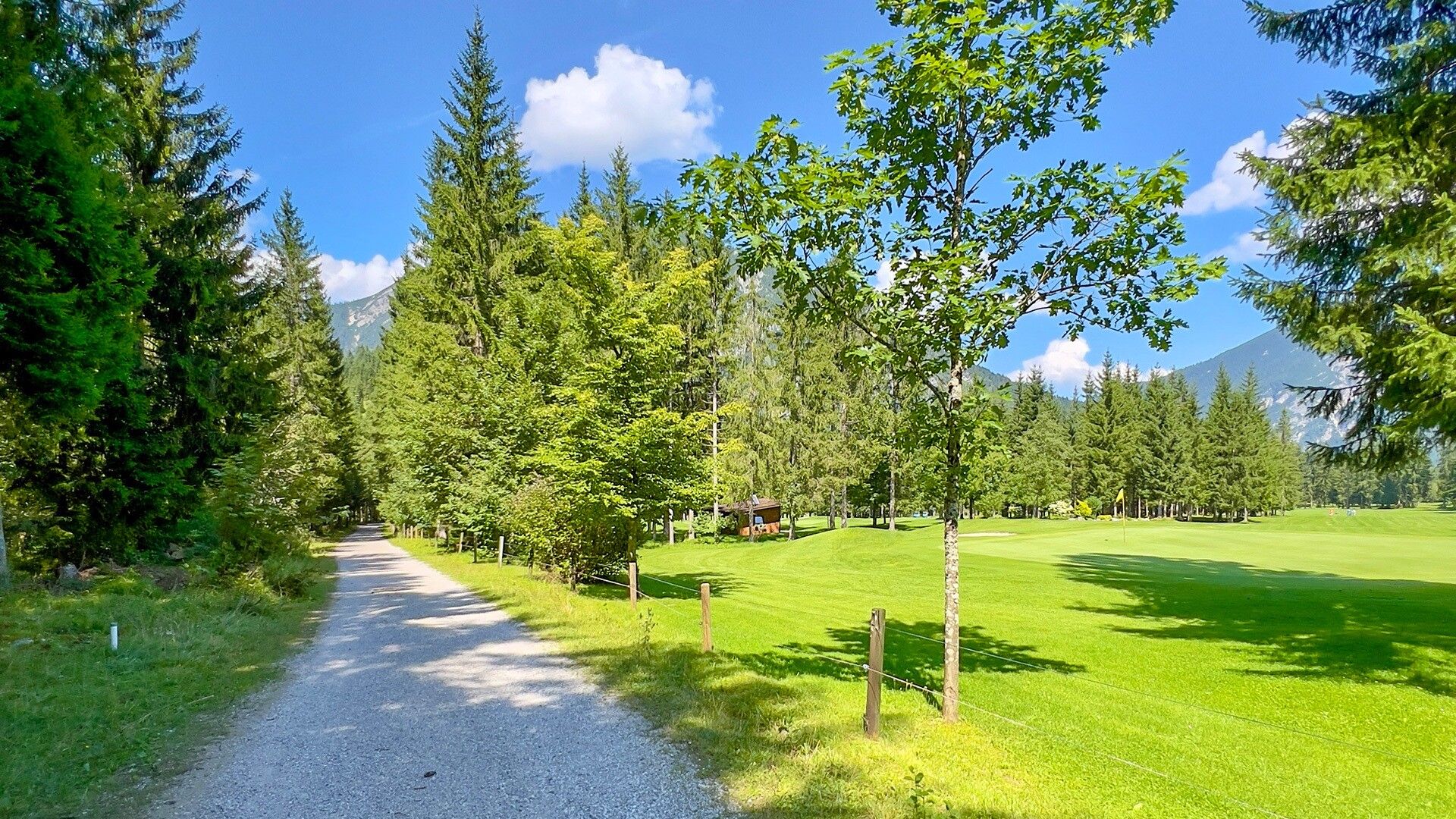
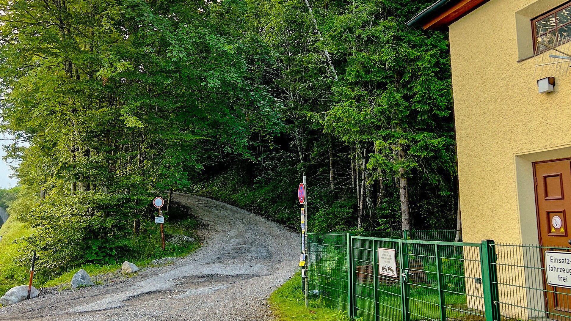
The route starts on the forest track in the direction of the Bärenbadalm hut (serviced). Follow the forest road through the Gufel forest and down into the Tristenau valley. Cross the Tristenau stream and continue into the valley. The route leads past the toll station of the Karwendel valleys and the valley station of the Karwendel cable car before returning to Lake Achensee.

Note: The distance indicated is for the complete loop.

Nearby huts and mountain restaurants

Getting here

  • Arrival by public transport

    Take the regional bus (line 8332 or 390) towards Pertisau and get off at the "Pertisau Gh Hubertus" stop. 

  • Parking

    Car park Seehotel St. Hubertus in Pertisau (paid parking)

More tours in the surrounding area

Newsletter

The mountain is calling? So does our newsletter!

In our monthly newsletter we reveal the best holiday tips for Tyrol.