
Opening hours:Open today
Place:Scharnitz
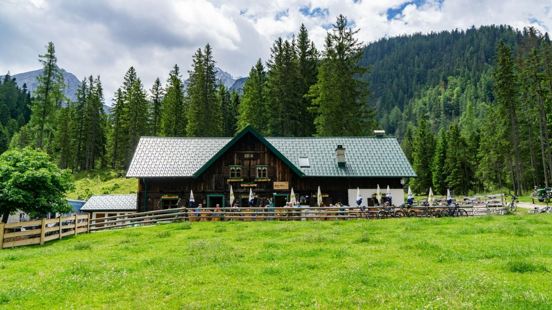
:Alpine pasture / hut / mountain restaurant
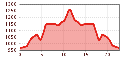
Route No. 579 - Comfortable bike tour throught the beautiful Gleirsch valley
Gravel, asphalt
You can find all the latest information on the road closures in the Seefeld region here.
Have you discovered a spot that we should rework or repair? Fill in the 'Report hazard' form and let us know where work is needed in the region.
Off-road bike (mountain bike, gravel bike, trekking bike, etc.), helmet, gloves
Suitable equipment is also available in the bike stores in the region.
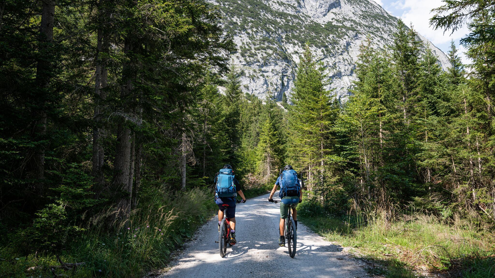
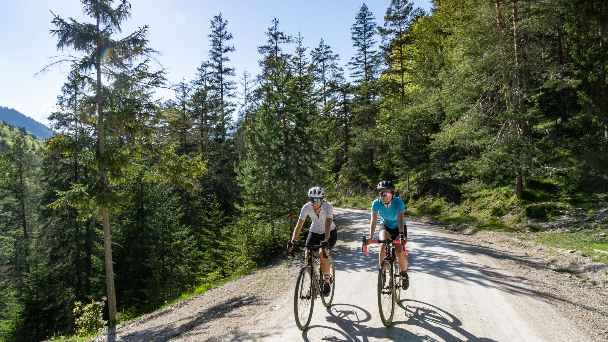
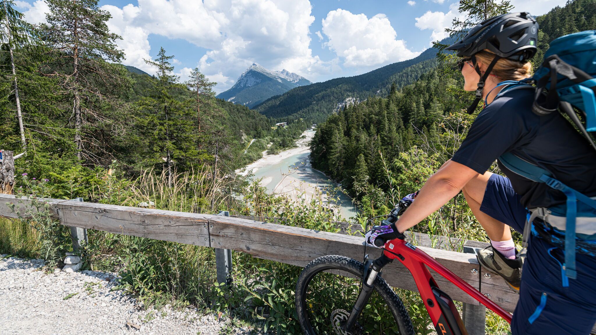
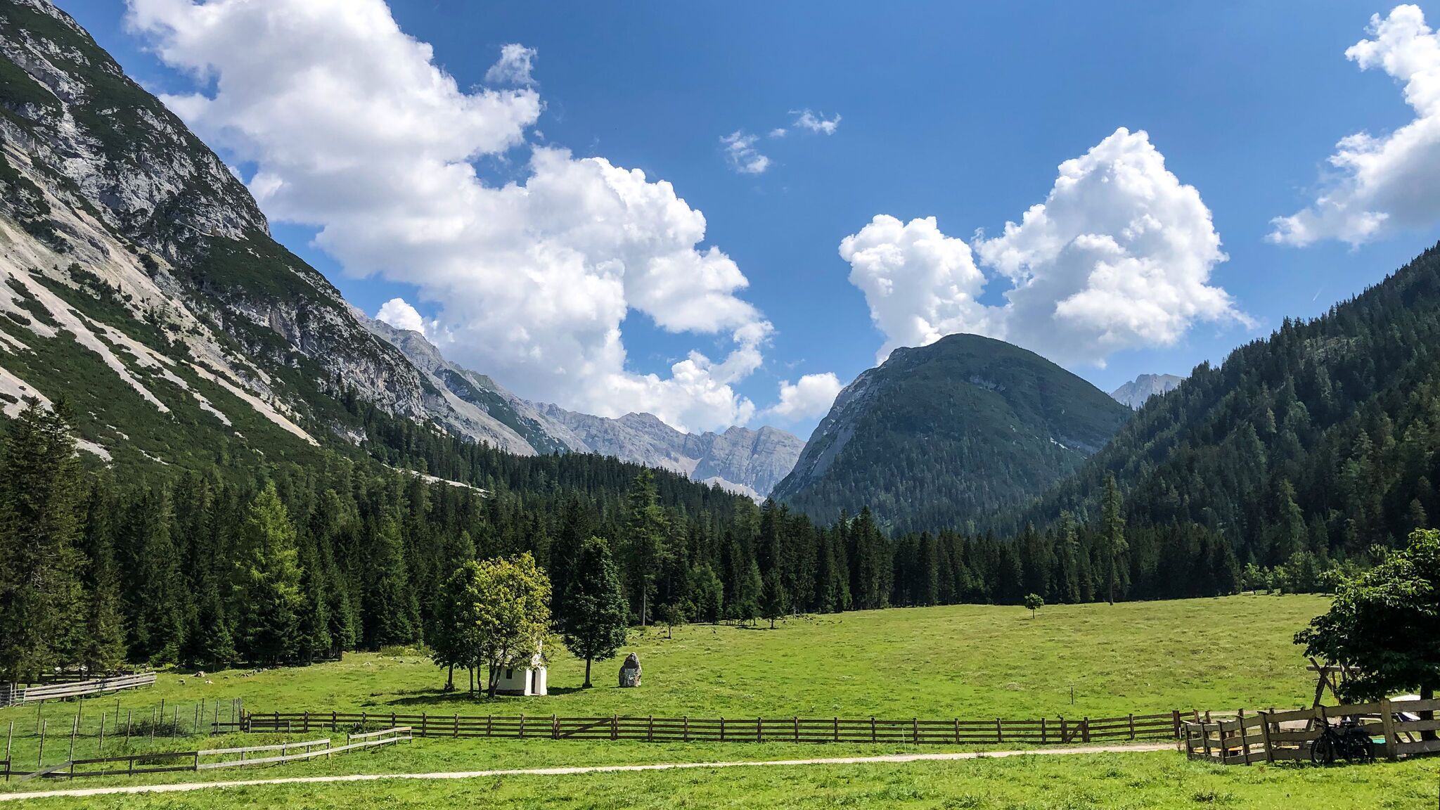
A pleasant tour with a short but steep climb on well-rideable forest roads through the beautiful Gleirschtal in the Karwendel Nature Park.
The route starts at the Nature Park Information Centre in Scharnitz or at parking lot P2 and follows a low-traffic paved municipal road for the first 1.5 km. Just before the Isarlodge Wiesenhof, the well-rideable forest road begins straight ahead over the Gleirschhöhe up to the junction into the Gleirschtal after about 4.5 km.
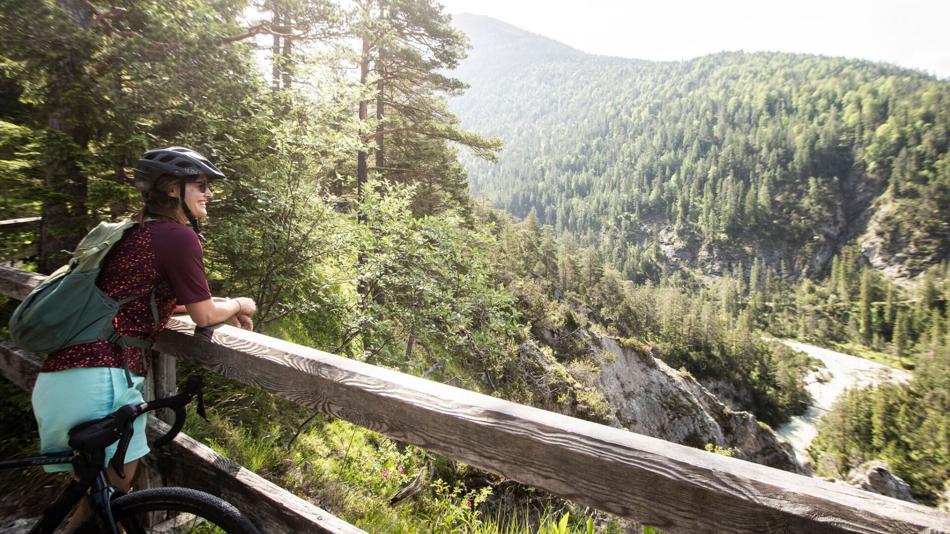
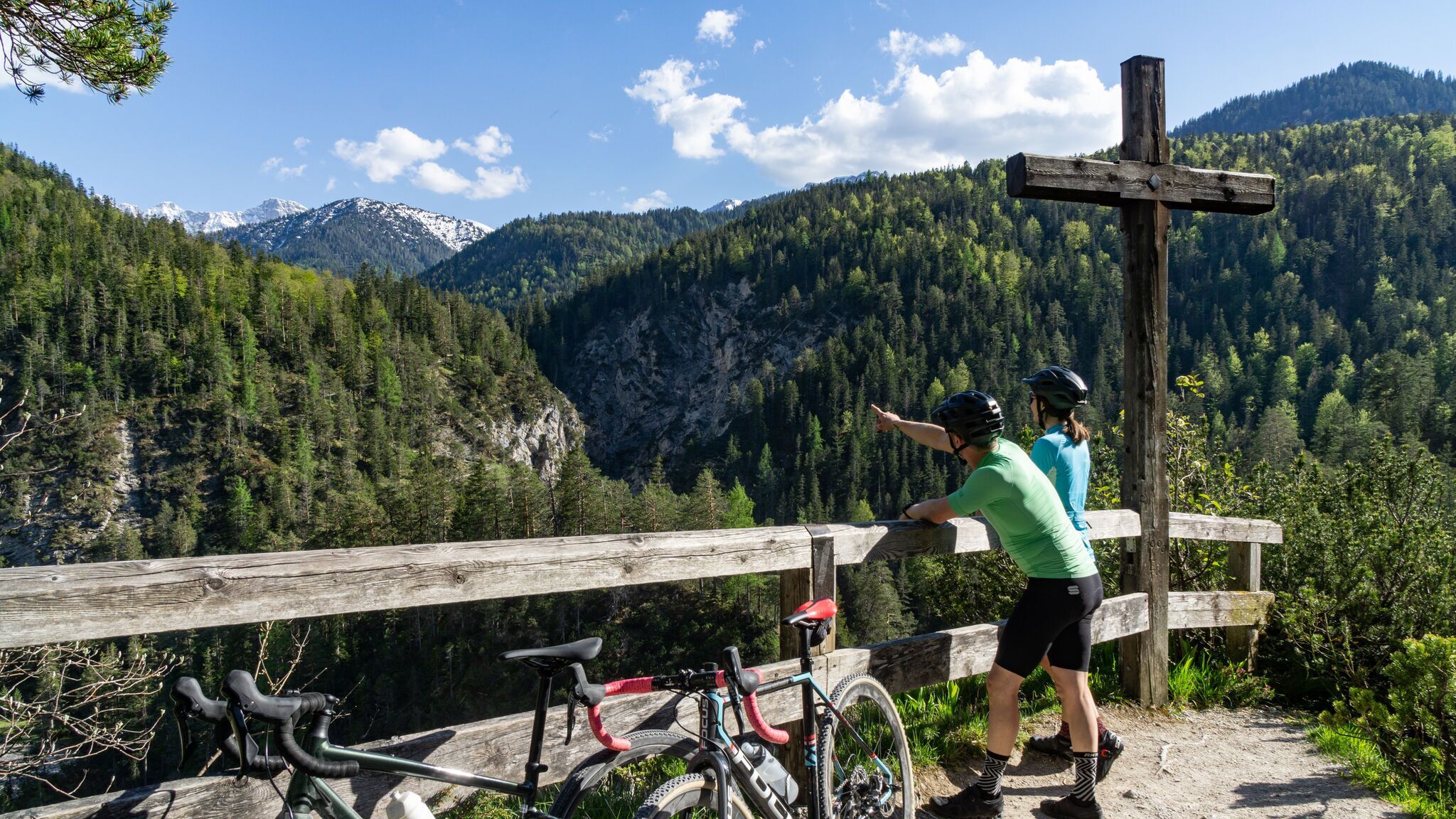
After a short descent and crossing the Isar, the climb begins — the so-called “Krapfen”. This is the only section of the tour that requires fitness and stamina. Once you reach the Gleirschtal ridge, the route passes by beautiful alpine meadows up to a fork leading toward Möslalm.
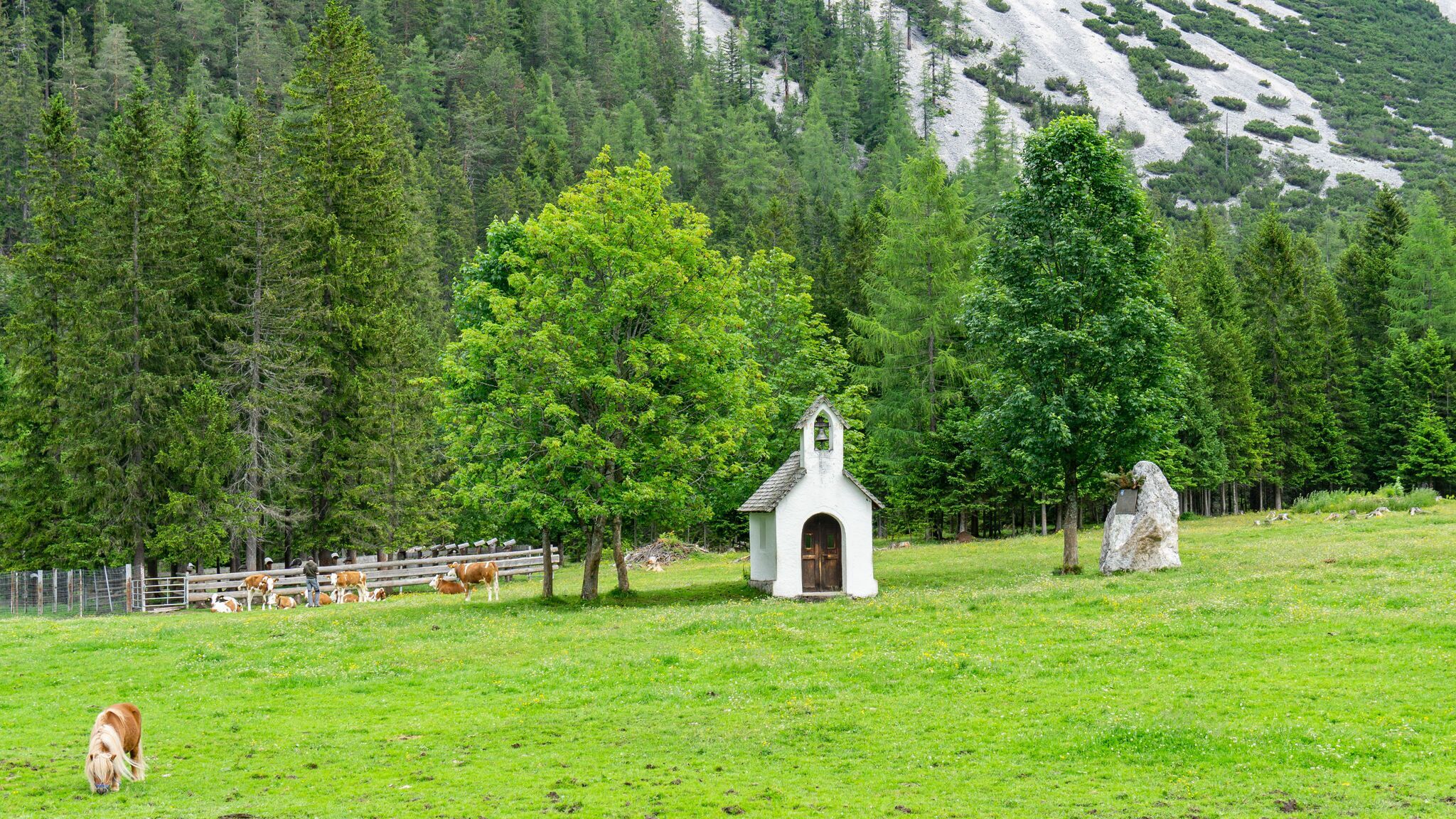
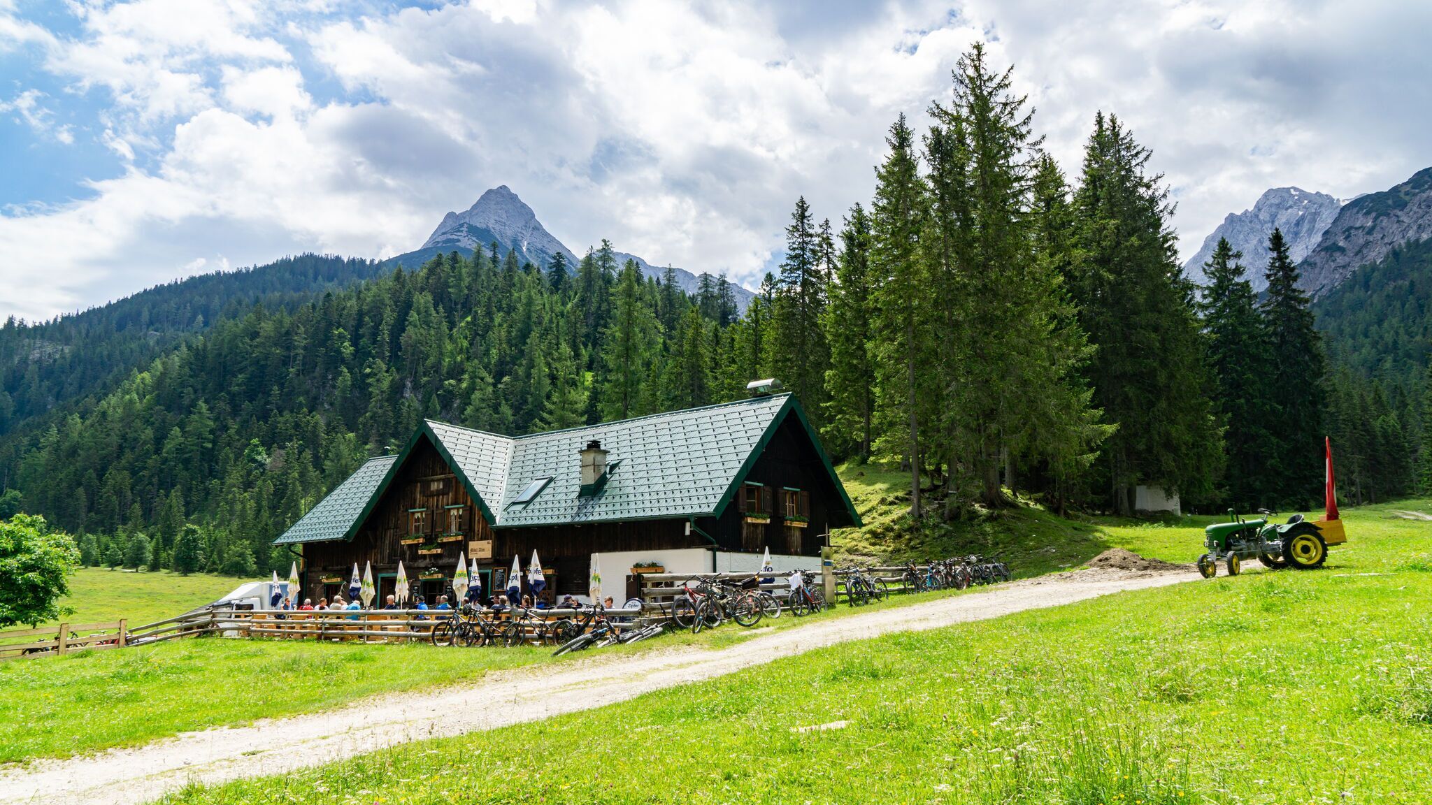
At the next fork, there is a choice between continuing directly or taking the right path, which leads after a short, steep climb to the Möslalm. Here, a stop at the rustic hut is recommended.
Möslalm is also a starting point for various mountain tours, e.g., to the Hoher Gleirsch. Continuing from Möslalm to the Pfeishütte is also possible (very steep; see route description 581).
The return follows the same path back to the starting point.
By train to Scharnitz train station, then approx. 3 minutes by bike to the starting point at the Nature Park Information Center.
All real-time connections can be found in the route planner.
You can find all information about bicycle transportation on the bus here.
Guest Card = Travel Card: The guest card is valid during your stay as a ticket for all public bus connections in the region (up to Telfs and Mittenwald). In addition, the train ride between Seefeld and Scharnitz and the Wildmoosbus are also included. However, a separate ticket for bicycle transportation on the train must be purchased at the ticket counter of the Seefeld information & mobility center or online.
Parking P2 “Karwendelparkplatz Länd” - Scharnitz.
Cyclists can also use the following parking lots: P1 (Riedboden) coming from Munich and P4 (Mühlberg) coming from Innsbruck.
From these parking lots you can reach the starting point at the Scharnitz Nature Park Information Center by bike in about 5 minutes.
You can find all other car parks in Scharnitz here.


.jpg")


