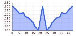
Open interactive mapOpen this POI on the interactive mapElevation profileSt. Anton - Landeck - Tobadill - Pians - St. Anton.gpx
Radfahrerinnen bei herbstlichem Wetter auf dem Weg zur Gaistalalm.jpg © Region Seefeld; Timo Borkowski Bikepacking Tour Tyrol - Tour OverviewDifficulty:difficultLength:413.0 kmDuration:34:00 hElevation uphill:6,600 mGo to biketourGo to biketour: Bikepacking Tour Tyrol - Tour Overview
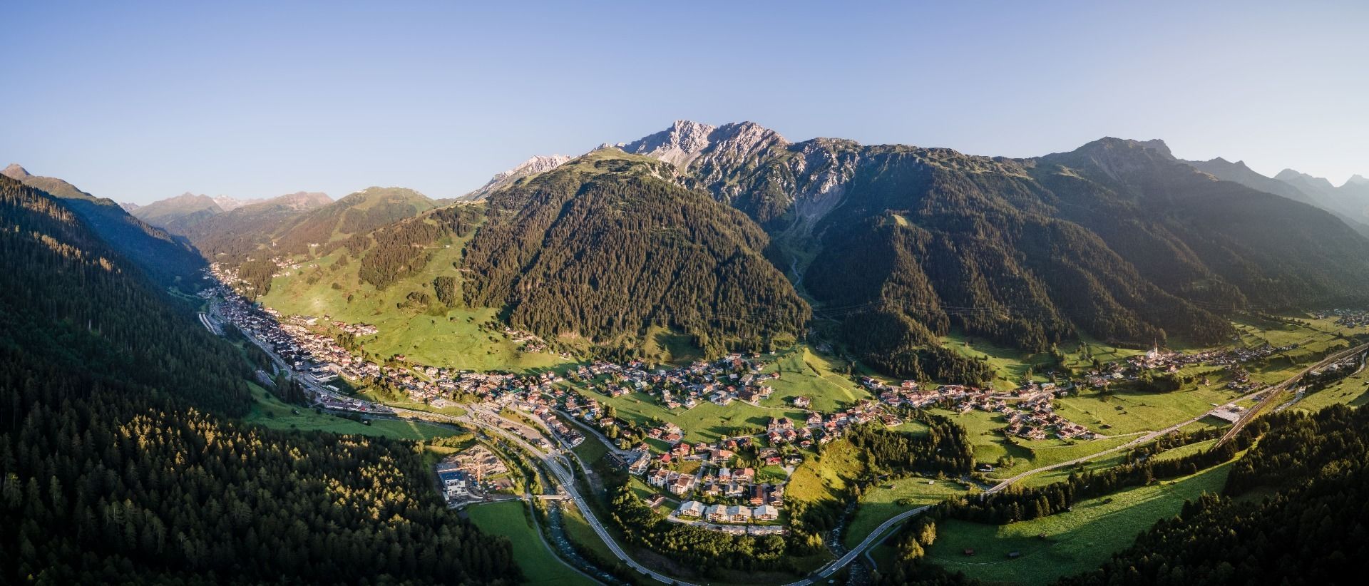
Lechtal_Tirol Werbung_Unverzart Olaf_Keine Ortsangabe (6).jpg © Unverzart Olaf Bikepacking Tour Tyrol - Stage 1 Difficulty:difficultLength:83.0 kmDuration:6:37 hElevation uphill:1,210 mGo to biketourGo to biketour: Bikepacking Tour Tyrol - Stage 1
Give feedback for a chance to win a special holiday experience!Click here for the surveyClick here for the survey

.jpg")
