
Öffnungszeiten:Heute geöffnet
Ort:Arzl im Pitztal
:Alpine pasture / hut / mountain restaurant
Alpine pasture hike Hochzeiger
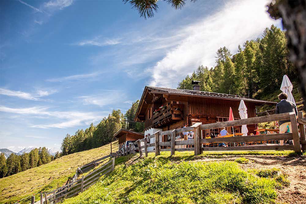
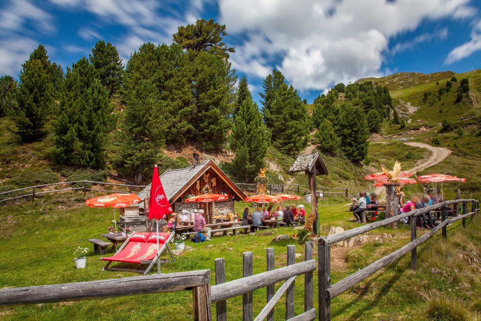
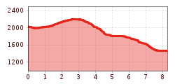
Starting point: gondola top station. Follow a path to the left to the catered mountain hut Kalbenalm (walking time: 40 min) and from there continue further through the Oberlangtal valley until you cross the path coming down from the Sechseizer peak, then continue to the catered mountain hut Leiner Alm (walking time: 1 hr). The path which forks off to the left a few meters after the Leiner Alm will tak e you through the
forest to Kaitanger and from there further to the bottom station of Hochzeiger Bergbahnen (mountain railway) (walking time: 1.5 hr). Total walking time: approx. 3 hours. Additionally, you may choose to walk via the top station of the double chairlift to the Sechzeiger peak and descend northwards to the Leiner Alm and then continue as above through the forest to the bottom station of Hochzeiger Bergbahnen.


