


Difficulty:medium
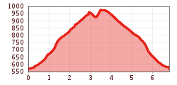
Length:9.2 kmDuration:4:15 hElevation uphill:700 m
Aschau - Tiefenbach/Hörhag - Aschau
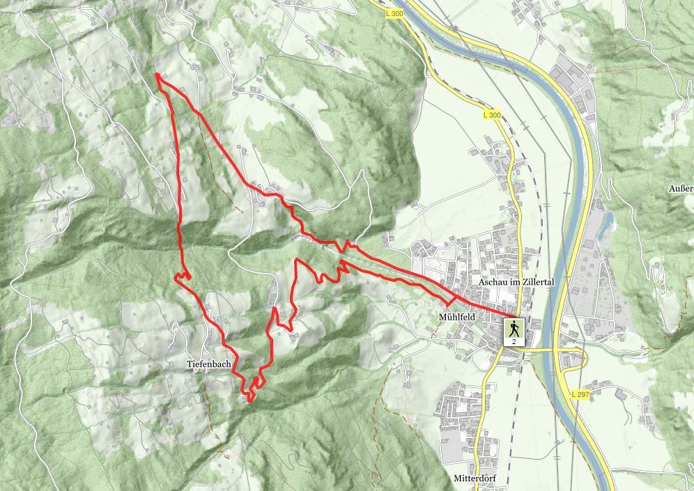
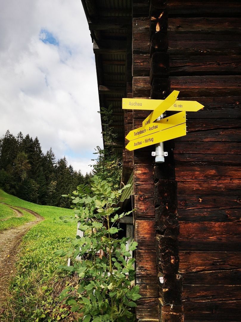
Take the road from the centre of the village towards the Zillertal High Alpine Road - the trail passes the hotel VAYA Zillertal and continues until the water basin. Turn left there on the forest trail. After the forest trail there follows a steeply climbing footpath up to the junction with the Zillertal High Alpine Road - at the junction
turn left and walk for about 45 minutes on the little-used asphalt road - passing some magnificent mountain farmhouses - as far as the Hörhag fork (formerly a café). At the junction turn left and walk for about 15 minutes on a narrow woodland path as far as the Mizunhof. You then head downhill on an asphalt road (Tiefenbachweg) until this merges with Lechenweg, subsequently navigating a number of meadows and forest paths back to Aschau.


