

Opening hours:Open today
Place:Leutasch
:Alpine pasture / hut / mountain restaurant
A challenging bike and mountain tour through dense forests with shade-giving trees, numerous beautiful rest stops and fantastic panoramic views.
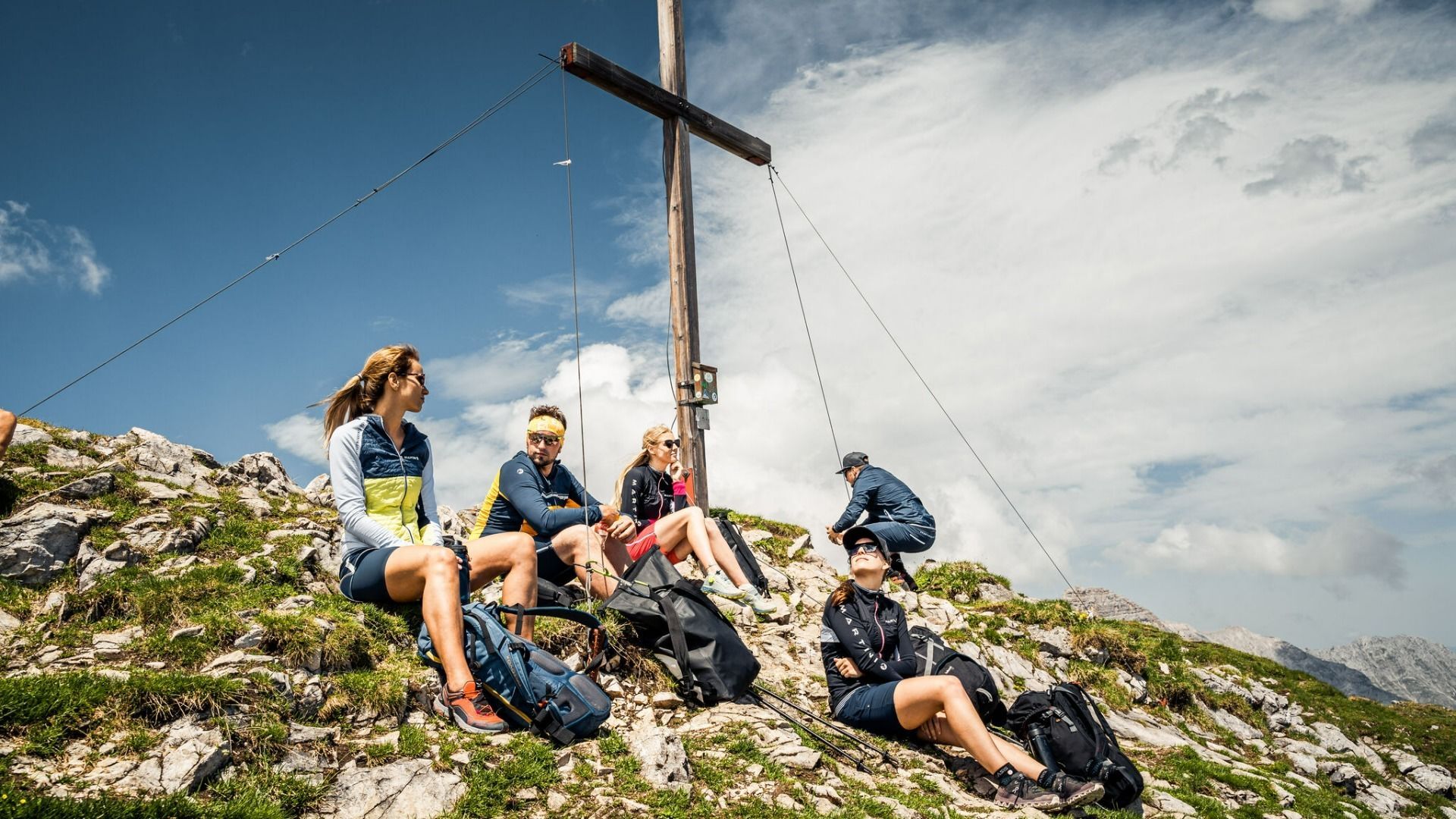
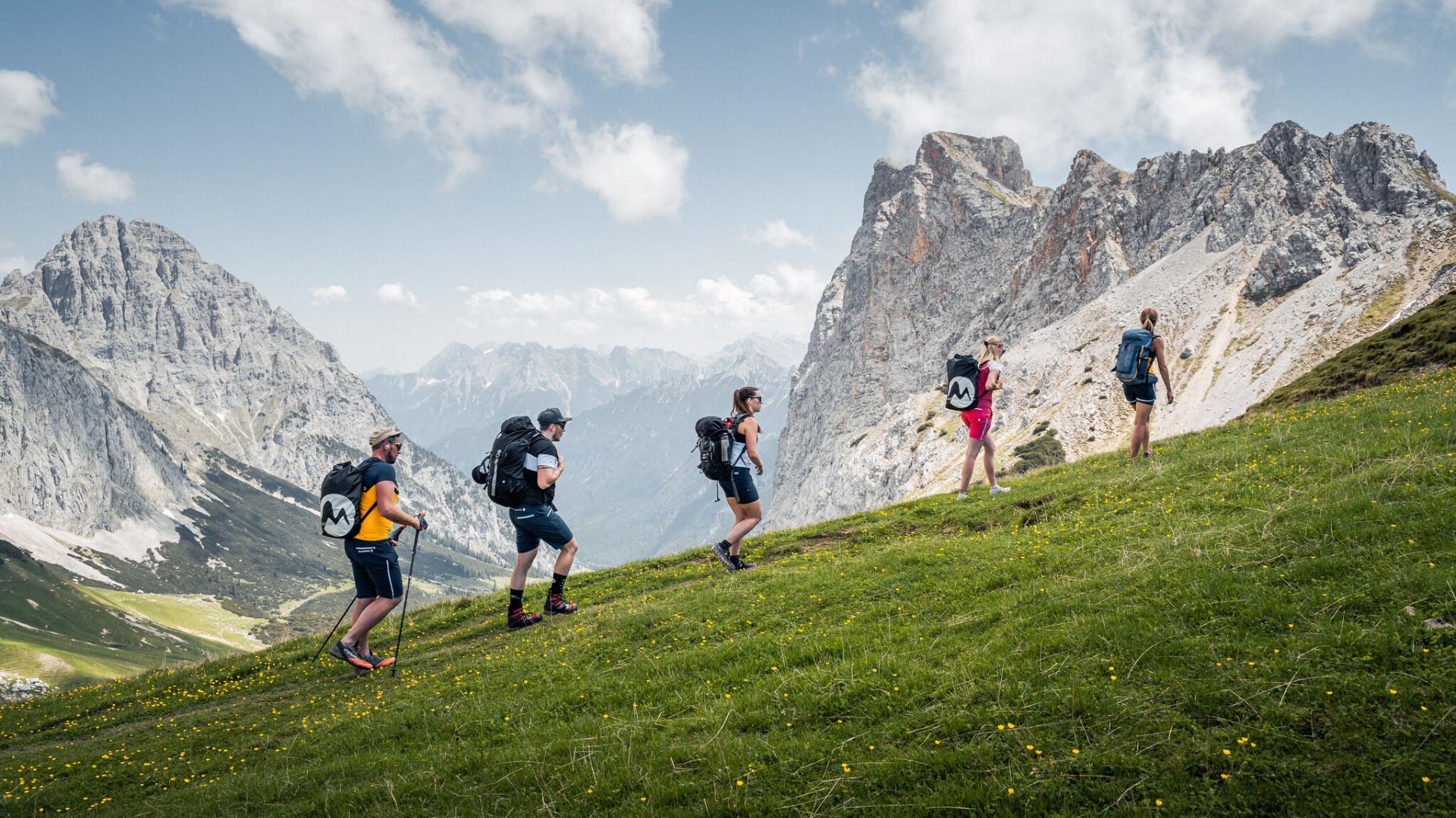
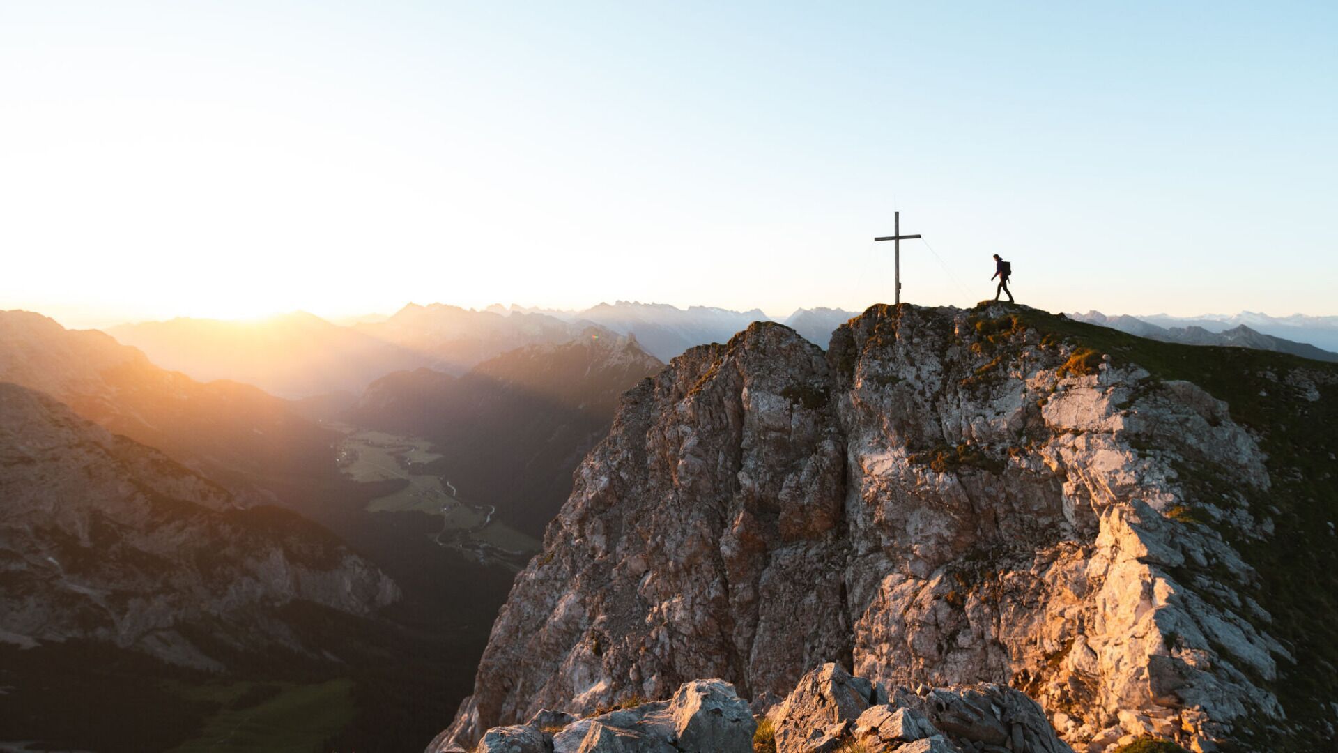
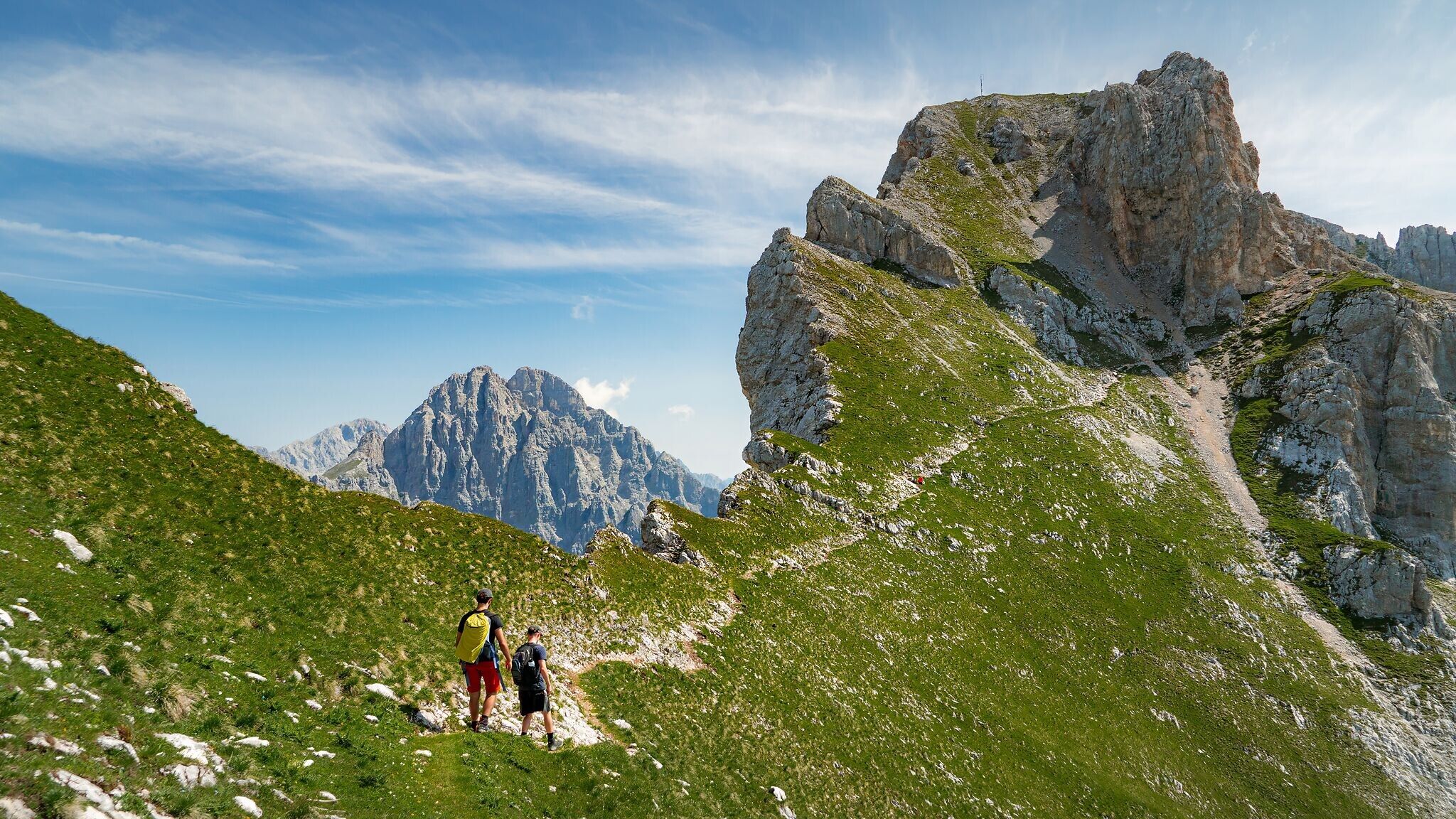
Bike: Asphalt, gravel / Hike: coarse gravel, narrow mountain path
You can find all the latest information on the road closures in the Seefeld region here.
Have you discovered a spot that we should rework or repair? Fill in the 'Report hazard' form and let us know where work is needed in the region.
Very good condition & technique required. Off-road bike (mountain bike, e-mtb, etc.), helmet, gloves
Suitable equipment is also available in the bike stores in the region.
For the hike: Sturdy hiking shoes, functional clothing, a backpack, water, snacks, alpine experience, and sure-footedness are necessary for this tour! Also recommended: a hiking map or GPS, a first aid kit, sun protection, hiking poles, and an emergency blanket.
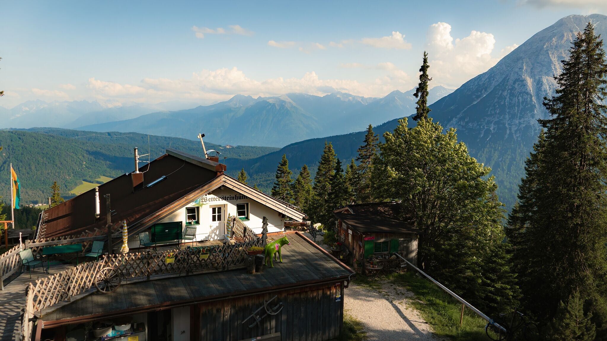
Attention: The Wettersteinhütte remains closed until further notice.
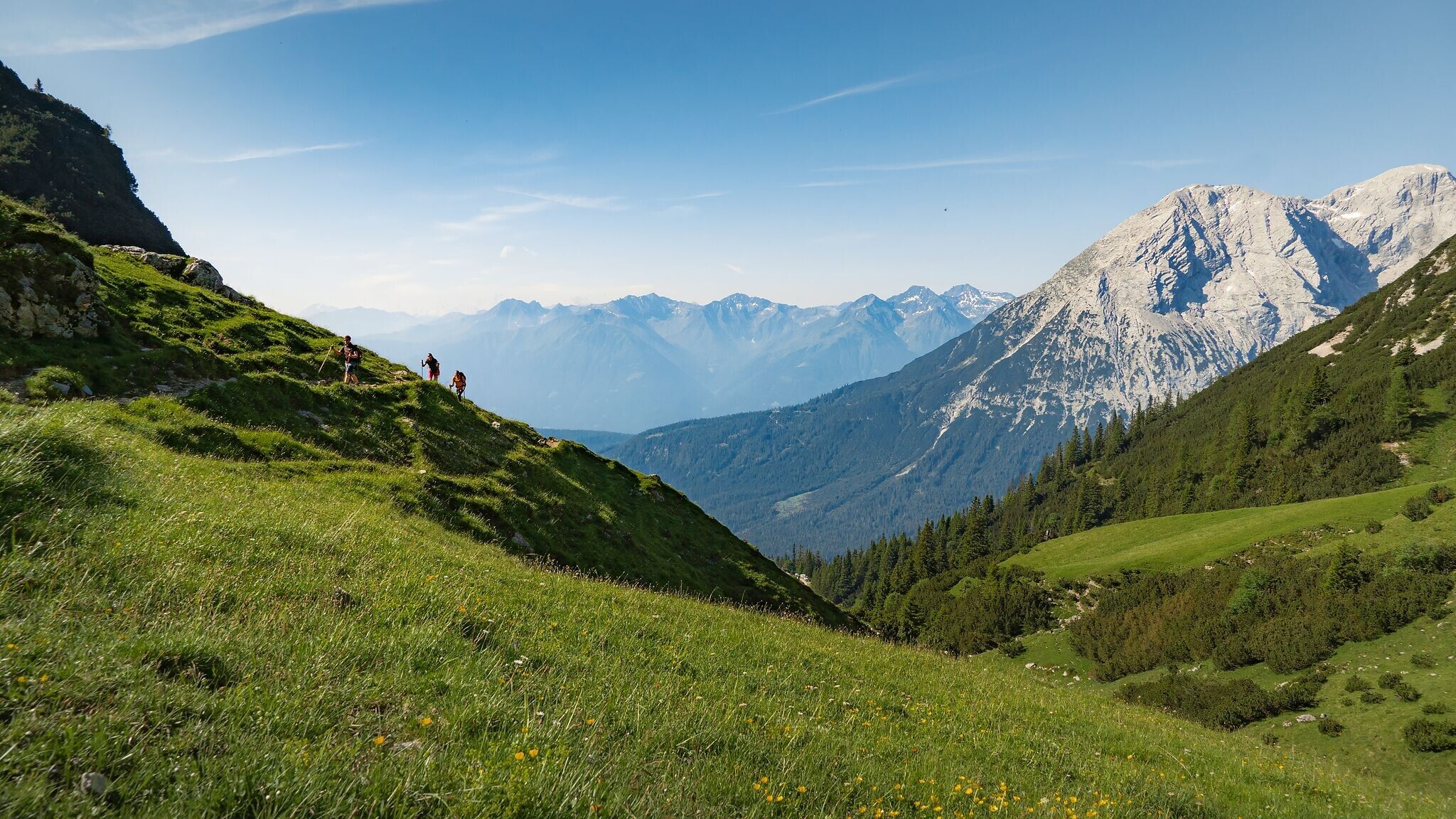
The starting point for this Bike & Hike tour is the Parkplatz Stupfer (P2) in the Gaistal. From there, do not head down the valley, but follow the asphalt road back to the district of Klamm. Turn north at the information point and initially follow the municipal road until you reach the forest road (gravel). From here, the route climbs steadily at a moderate incline. The special feature of this route is the dense forest with its shade-giving trees and many beautiful resting spots. The forest road is in good condition and winds uphill in several hairpin bends, but also in long, almost flat sections.
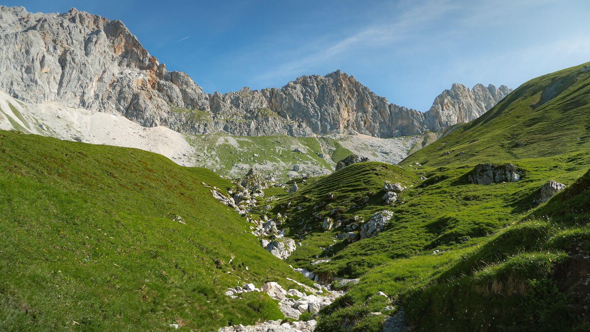
Above the tree line, about 100 meters in altitude below the Wettersteinhütte (not managed) and the Wangalm (managed), the bikes are parked and the final section is completed on foot. From here, the path becomes steeper and the gravel coarser. After about 10 minutes of walking, you reach a junction: the Wettersteinhütte is to the left, and slightly above to the right is the Wangalm.
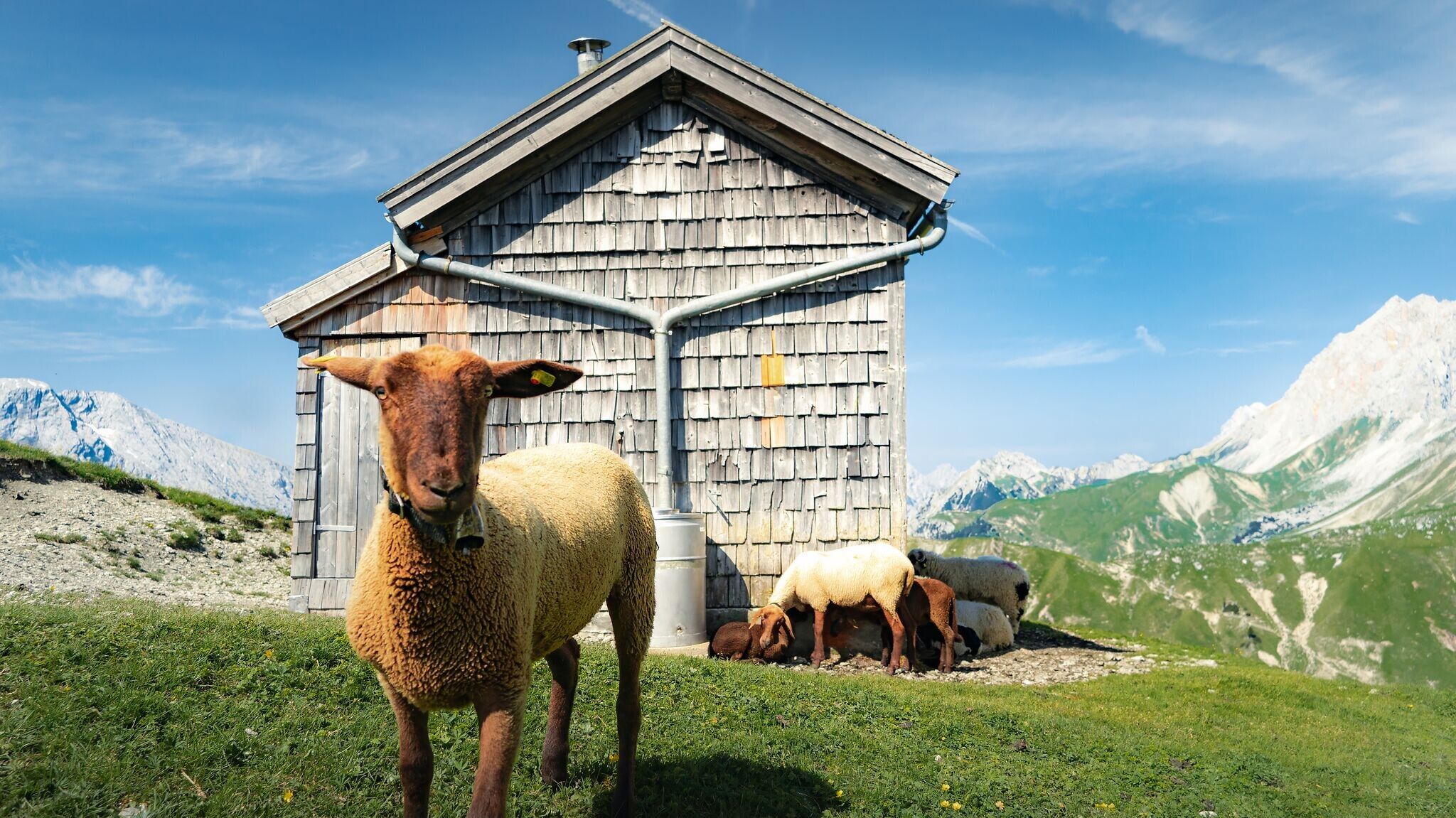
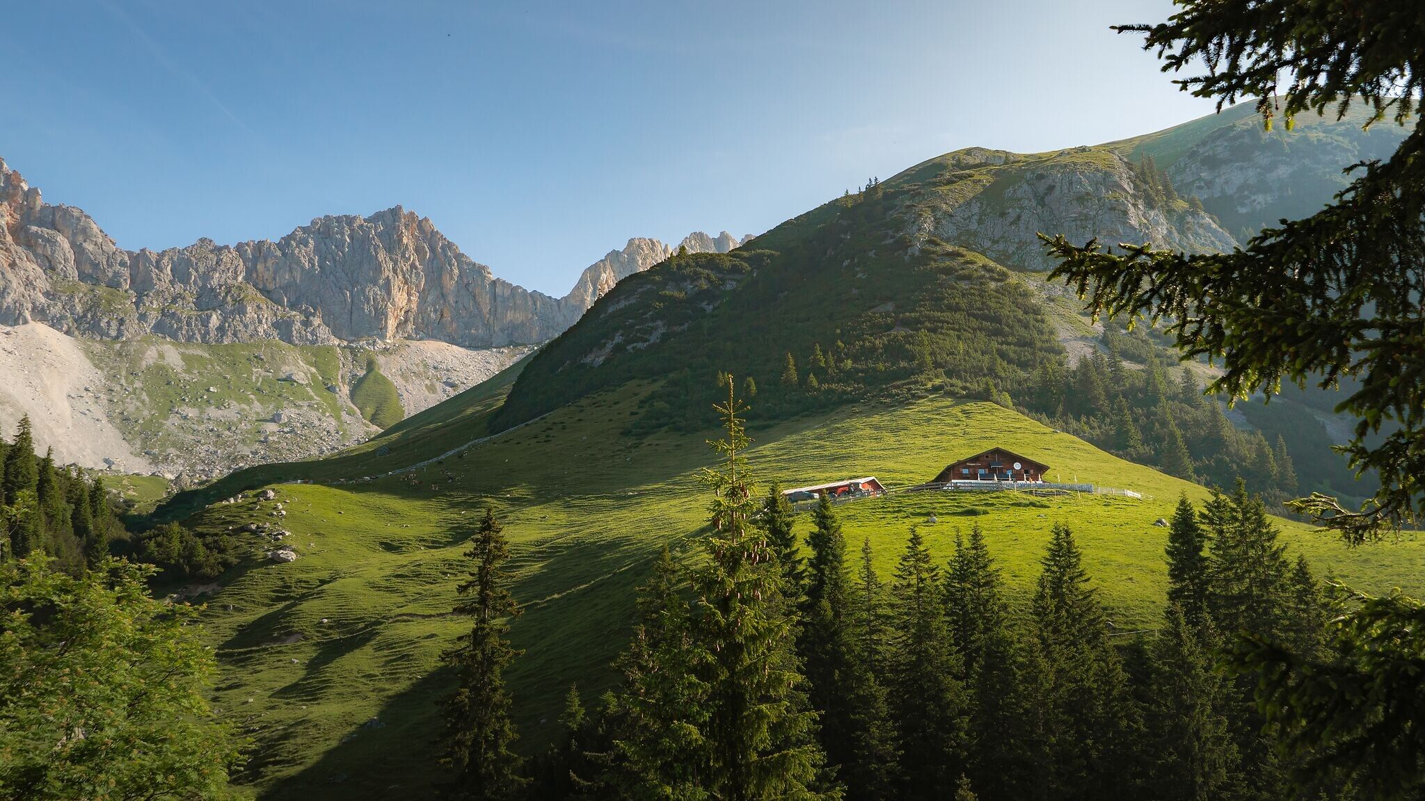
The Wangalm is perfect for a well-deserved break with fantastic panoramic views. The hut faces south, so you can enjoy the sunshine all day long in good weather. Caution grazing livestock: Please keep your distance and cross the grazing area quietly and quickly. Keep right at the junction and ascend to the Wangalm.
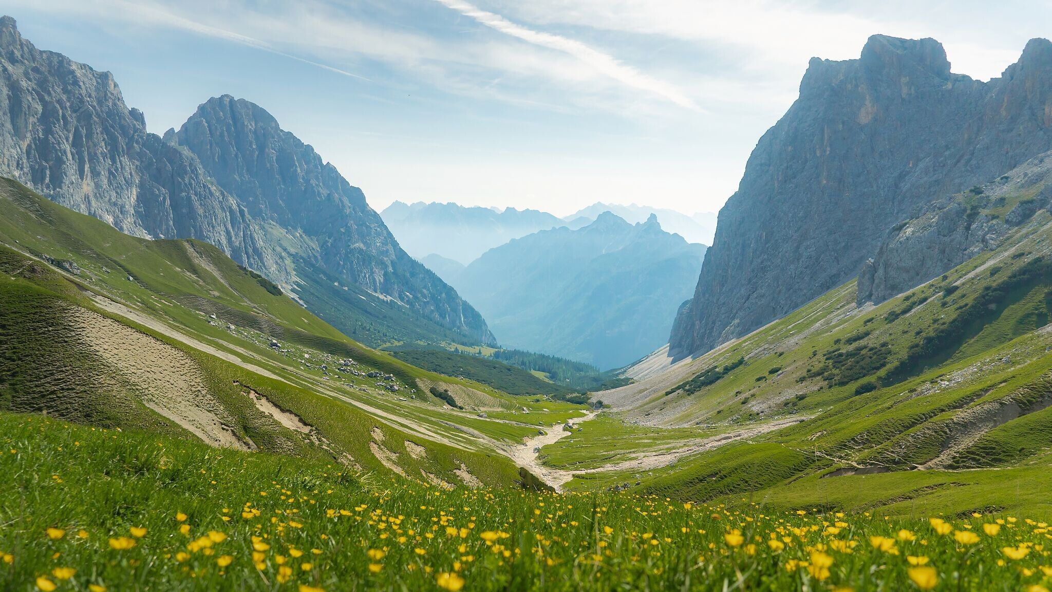
From the starting point at the Wangalm, the hiking trail leads through the Scharnitztal to the Scharnitzjoch and further to the Erinnerungshütte (not managed). Once there, another well-deserved rest is recommended to enjoy the unique view into the Puittal. Then follow well-signposted paths up to the Gehrenspitze. At the summit, a wonderful panoramic view of the Hohe Munde and the Leutaschtal awaits you.
Details for one direction:
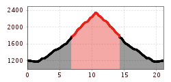
Bike route no. 540: approx. 6.9 km, 580 m ascent, 40 m descent, 01:30 h, difficulty: difficult (time round trip: 3h)
Hike route: approx. 3.75 km, 600 m ascent, 02:00 h, difficulty: intermediate (time round trip: 4h)
If the tour is completed exclusively as a hike, it takes approximately 05:15 h in one direction.
Take the bus to Leutasch and get off at the 'Gaistal/Salzbach' bus stop.
All real-time connections can be found in the route planner.
You can find all information about bicycle transportation on the bus here.
Guest Card = Travel Card: The guest card is valid during your stay as a ticket for all public bus connections in the region (up to Telfs and Mittenwald). In addition, the train ride between Seefeld and Scharnitz and the Wildmoosbus are also included. However, a separate ticket for bicycle transportation on the train must be purchased at the ticket counter of the Seefeld information & mobility center or online.
From Innsbruck, take the A12 Inntalautobahn to the Seefeld/Garmisch exit, then continue over the Zirlerberg to Seefeld and follow the signs to Leutasch. From Landeck/Reschen, take the A12 to the Telfs Ost exit, then drive over the Telfer Berg and follow the signs to Leutasch. From Garmisch, pass through Mittenwald on the way to Leutasch.
In Leutasch, take the Buchener Landesstraße to Platzl and then drive towards Plaik. After that, take the road through the Klamm district. Here, you'll find the parking Stupfer (P2).
Parking lots parking Stupfer (P2) in Gaistal - Leutasch.
You can find all other car parks in Leutasch here.


