Mountain hikes Breitenstein

Walchsee / Chiemgau Alps
Difficulty ratings: medium
Route length: 9.5 km
Duration: 6:00 h

Trail Nr.: 47, 56, 57

Tour information

  • Requirement: medium
  • Length: 9.5 km
  • Duration: 6:00 h
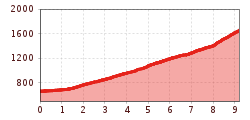
  • Elevation uphill:1,050 hm
  • Elevation downhill:1,050 hm
Highest point1,661 m

Starting point

Tourist Office Walchsee

Finishing point

Tourist Office Walchsee
  • Fitness level 6 / 6
  • Technique 6 / 6

Best time of year

  • January
  • February
  • March
  • April
  • May
  • June
  • July
  • August
  • September
  • October
  • November
  • December

Trail condition

Forest road, hiking trail, asphalt

Equipment

Breathable outdoor clothing suitable for the weather, sturdy footwear, food (snacks, drinks),
sun protection (sunglasses, sun cream & cap), rain protection, cash; guest card if using the bus
Source: TVB Kaiserwinkl

Description

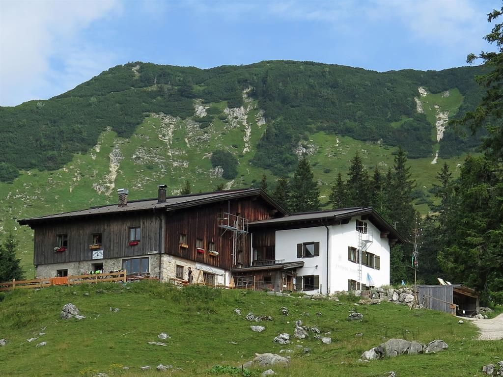
The trail starts at the information office in Walchsee. From there, cross the crosswalk at Pension Fischbacher, turn right, and immediately after that, turn left onto Hausbergstraße. At the soccer field (parking available), turn right onto Forstraße and hike to the Riederalm. There, take the left fork, and you’ll pass through the beautiful alpine pasture area of the Baumgartenalm on your way to the Priener Hütte (where you can stop for a bite to eat).

From there, continue on to the summit of the Breitenstein, where you’ll find a gold stamp station for your hiking passport. A detour to the Geigelstein is also worth it.

To return to the valley, we’ll hike back via the Karkopf and the Ottenalm.

Nearby huts and mountain restaurants

Getting here

  • Arrival by public transport

    Take the bus to the stop Walchsee Dorf.

Weather

Today

light rain showers
30°C/17°C
50%3.6l5 km/h

Mon

clear sky
33°C/16°C
50%0.3l5 km/h

Tue

clear sky
33°C/16°C
45%1.1l5 km/h
Go to weather forecast

More tours in the surrounding area

Newsletter

The mountain is calling? So does our newsletter!

In our monthly newsletter we reveal the best holiday tips for Tyrol.