Themed hikes Burgenweg Landeck - Fließ - Landeck

Landeck / Ötztal Alps
Difficulty ratings: medium
Route length: 15.8 km
Duration: 5:45 h

This path leads you from Landeck Castle to Biedenegg Castle in Fließ and back.

Tour information

  • Requirement: medium
  • Length: 15.8 km
  • Duration: 5:45 h
  • Elevation uphill:658 hm
  • Elevation downhill:652 hm
Highest point1,285 m

Starting point

Landeck Castle

Finishing point

Landeck Castle
  • Fitness level 4 / 6
  • Technique 3 / 6

Features

  • Circular route
  • Multi-day hike

Best time of year

  • January
  • February
  • March
  • April
  • May
  • June
  • July
  • August
  • September
  • October
  • November
  • December
Source: TVB TirolWest

Description

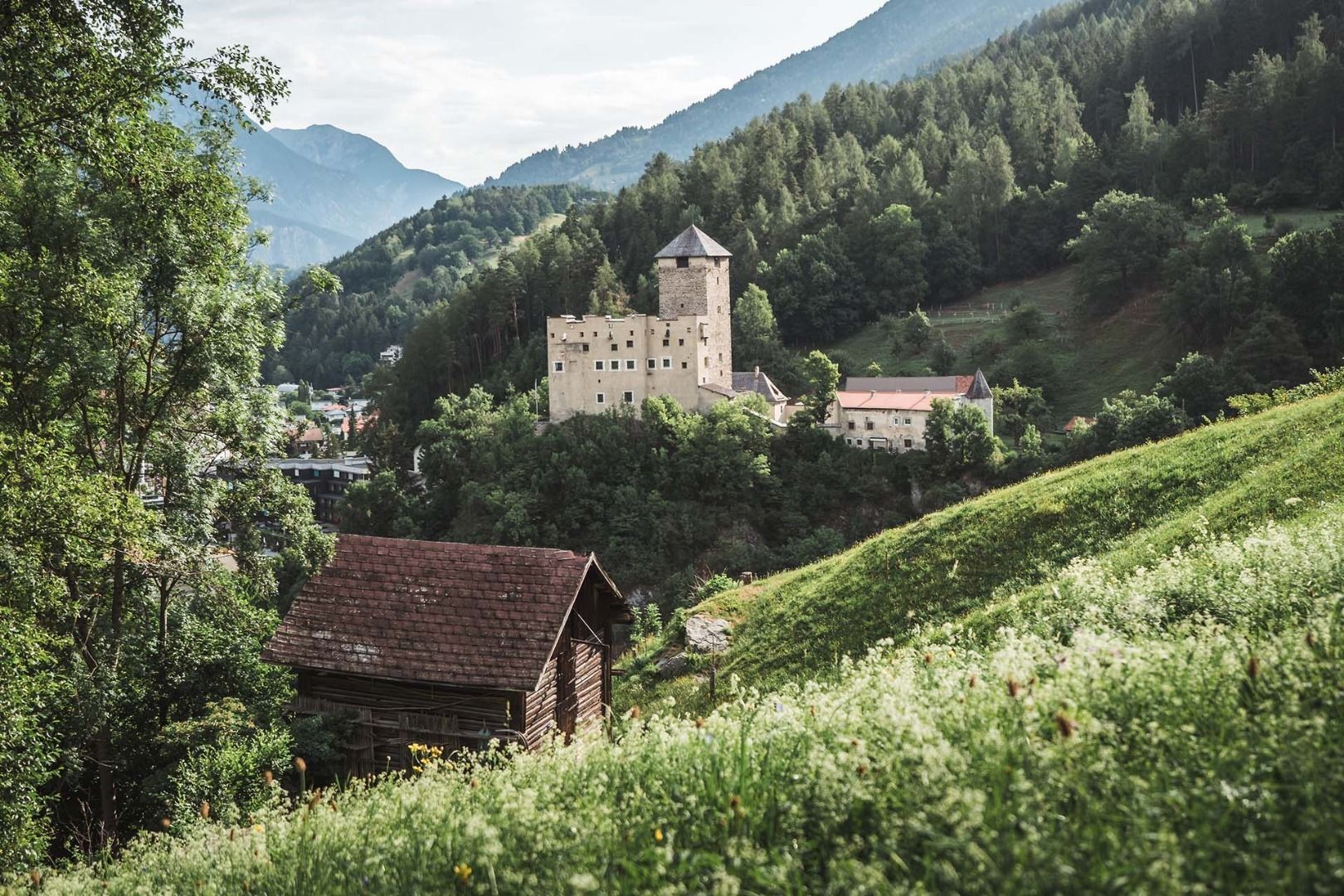
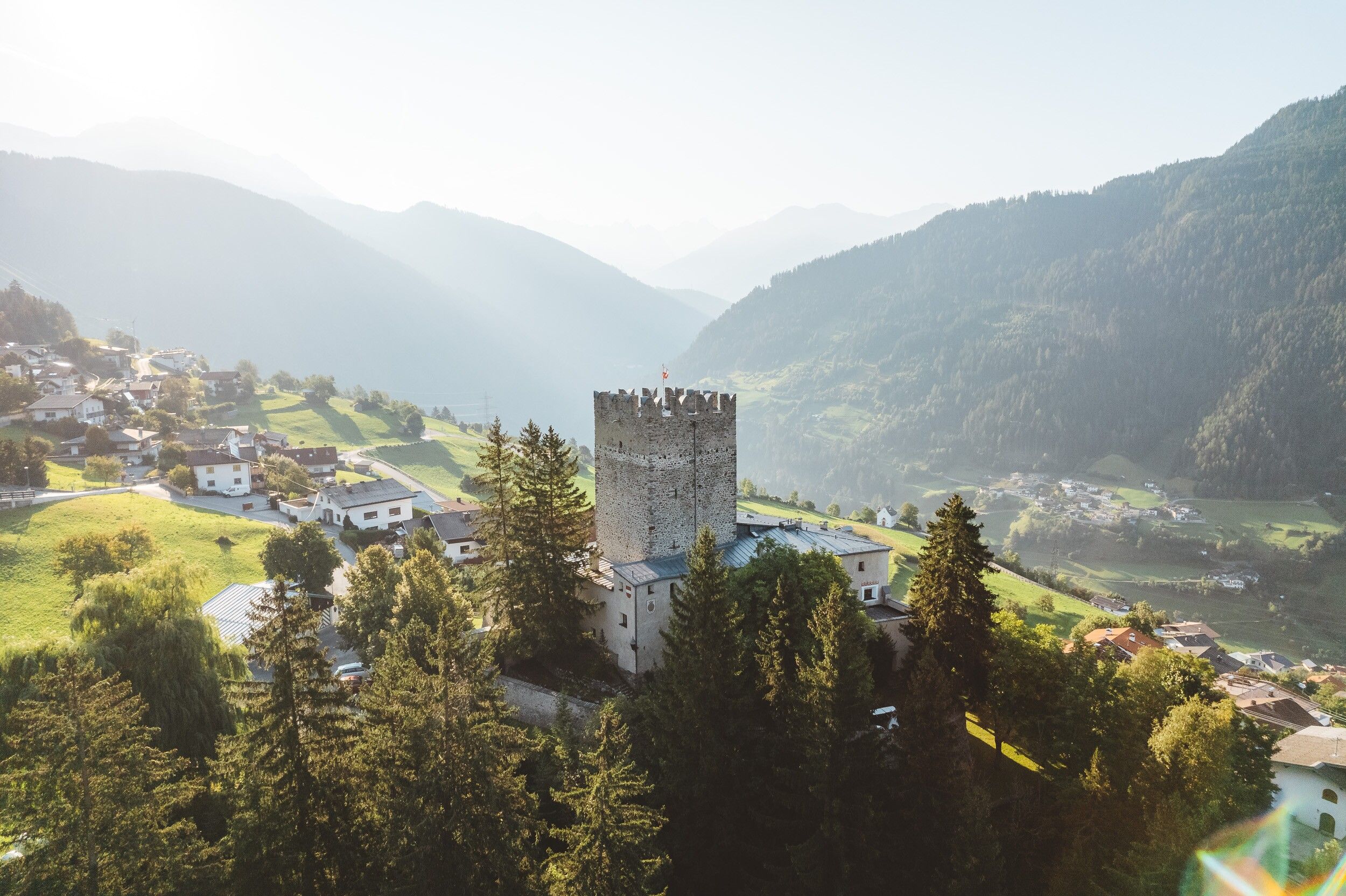
Starting at Landeck Castle, the path leads you about 500 m up to Steinwiese and further to Schwaighof (approx. 1,300 m above sea level). Here you have already reached the highest point of this stage - now you go without major changes in altitude to Biedenegg Castle in Fließ. Along the historic Via Claudia Augusta the path leads to the Fließer Platte and from here back down to Landeck Castle.

Getting here

  • Arrival by public transport

    From the Landeck-Zams train station, take any VVT bus to the city center. From there, it’s about a 15–20-minute walk to the church, or you can take bus line 2 (Kirche stop). Check the SCHEDULE.

  • Parking

    Landeck Long-Term parking lot at 44 Innstraße

More tours in the surrounding area

Newsletter

The mountain is calling? So does our newsletter!

In our monthly newsletter we reveal the best holiday tips for Tyrol.