Arrival by public transport
Linienbus
4104
Bus stop Tux-Hintertux Feuerwehr
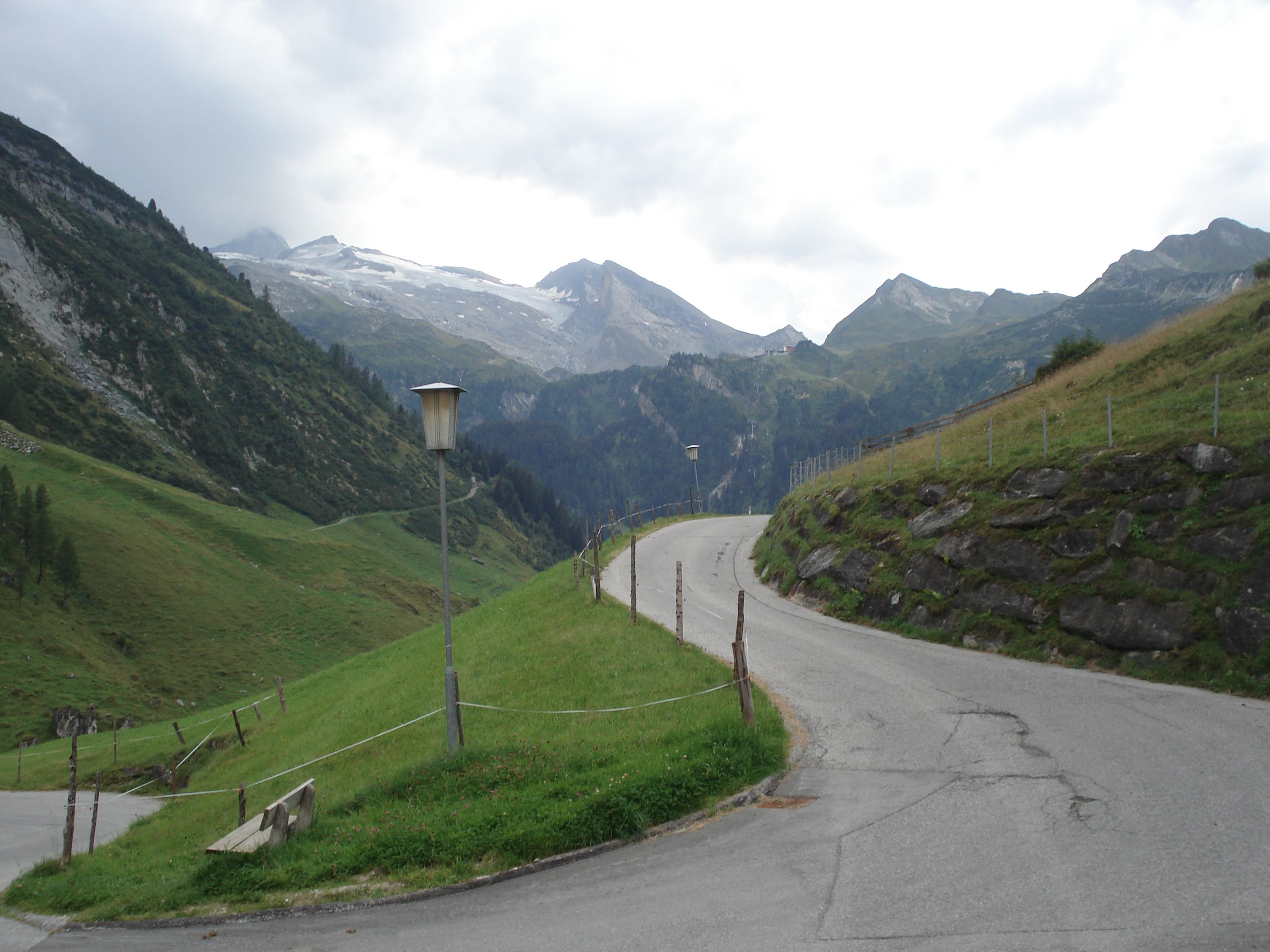
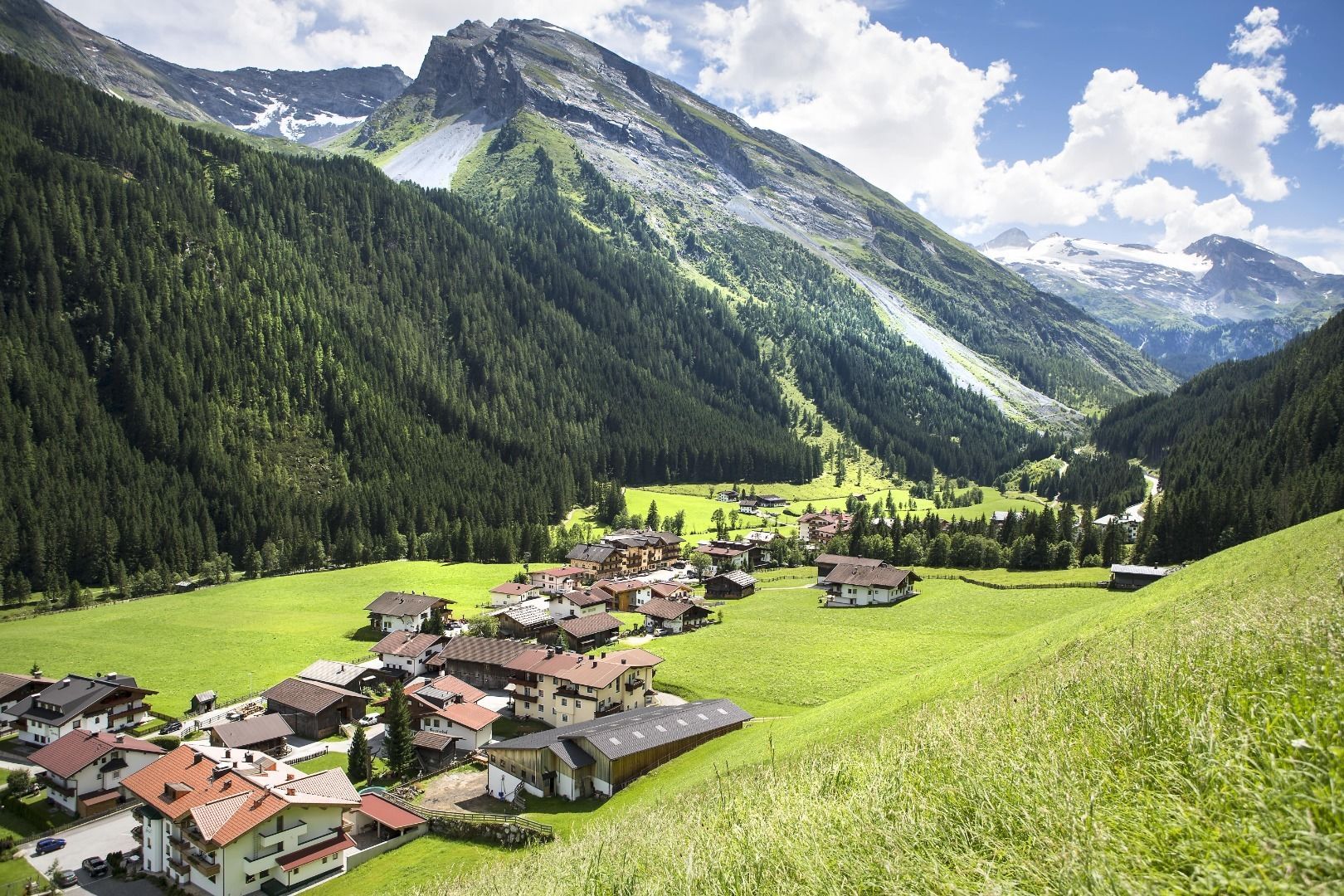
Circular hike through quiet forest paths and over sunny slopes.
Sports shoes with good thread sole – BETTER: light hiking shoes
Clotihing suitable for the weather
Sunscreen
Drinks and food
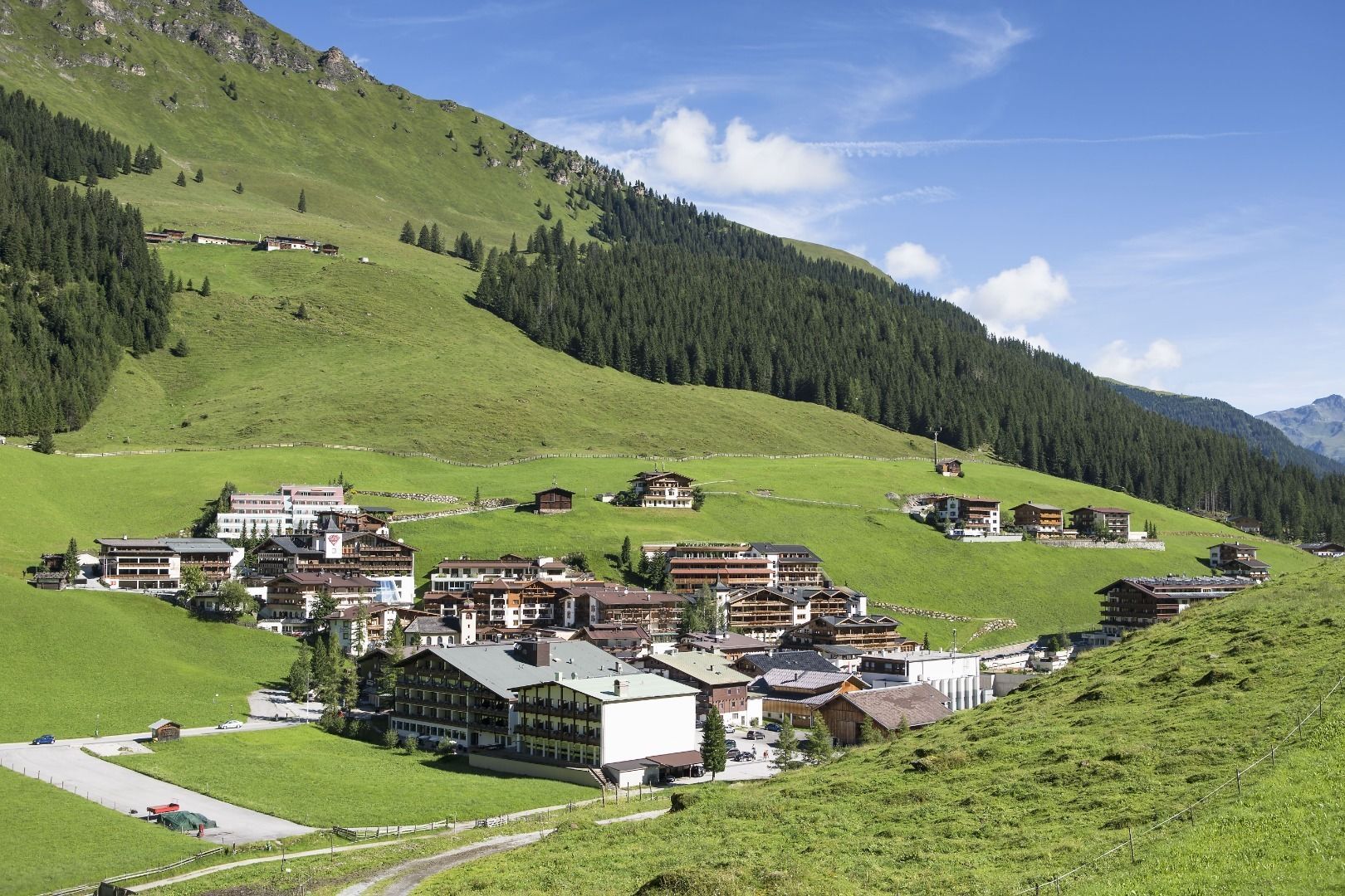
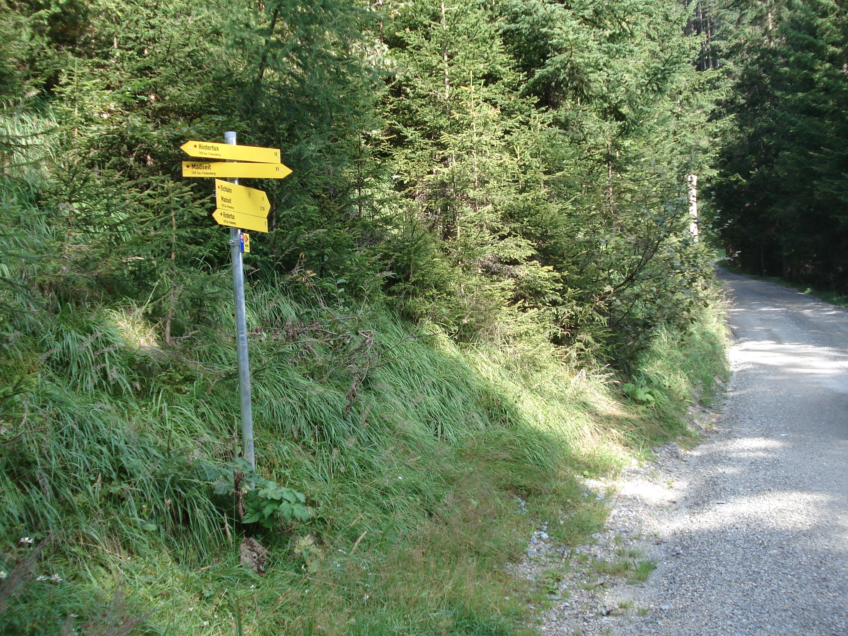
From the village center in Hintertux in the direction of Hotel Hohenhaus (house no. 774), turn right along the road past Haus Windegg (house no. 748) and Haus Christina (house no. 740) to the fork in the road. There turn left and continue along the forest road (trail no. 17) until trail no. 11 branches off to the right in the direction of Madseit. The partly steep forest trail leads to house no. 729 and Haus Markus (house no. 723), past there in the direction of Alpinhotel Berghaus (house no. 711) where then hiking trail no. 12 leads back to the starting point Hintertux.
Linienbus
4104
Bus stop Tux-Hintertux Feuerwehr
The closest car park is located at the valley station of the Hintertux Glacier, from there it is approx. 15 minutes' walk to the starting point of the hike. Simply follow the main road L6.


")


")


