
Opening hours:Open today
Place:Scharnitz
:Alpine pasture / hut / mountain restaurant
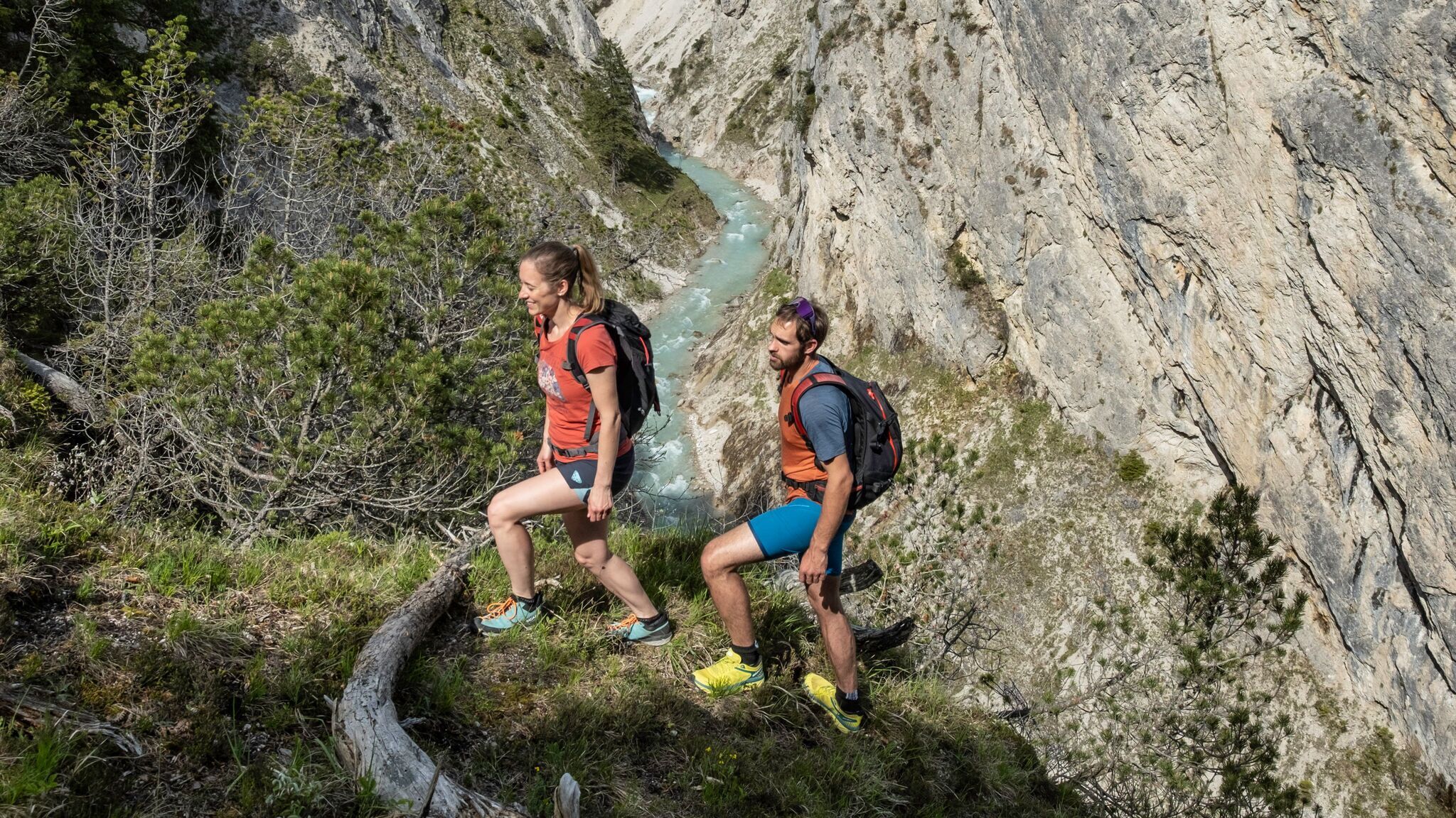
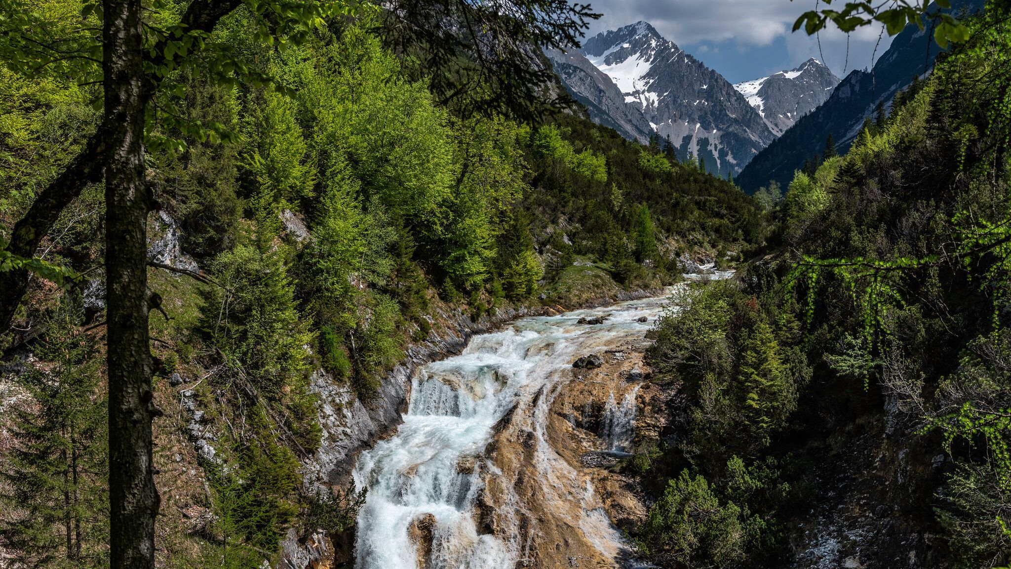
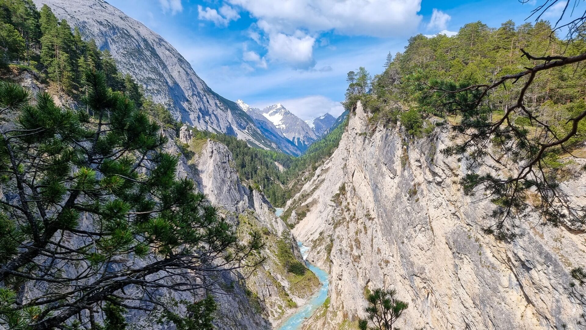
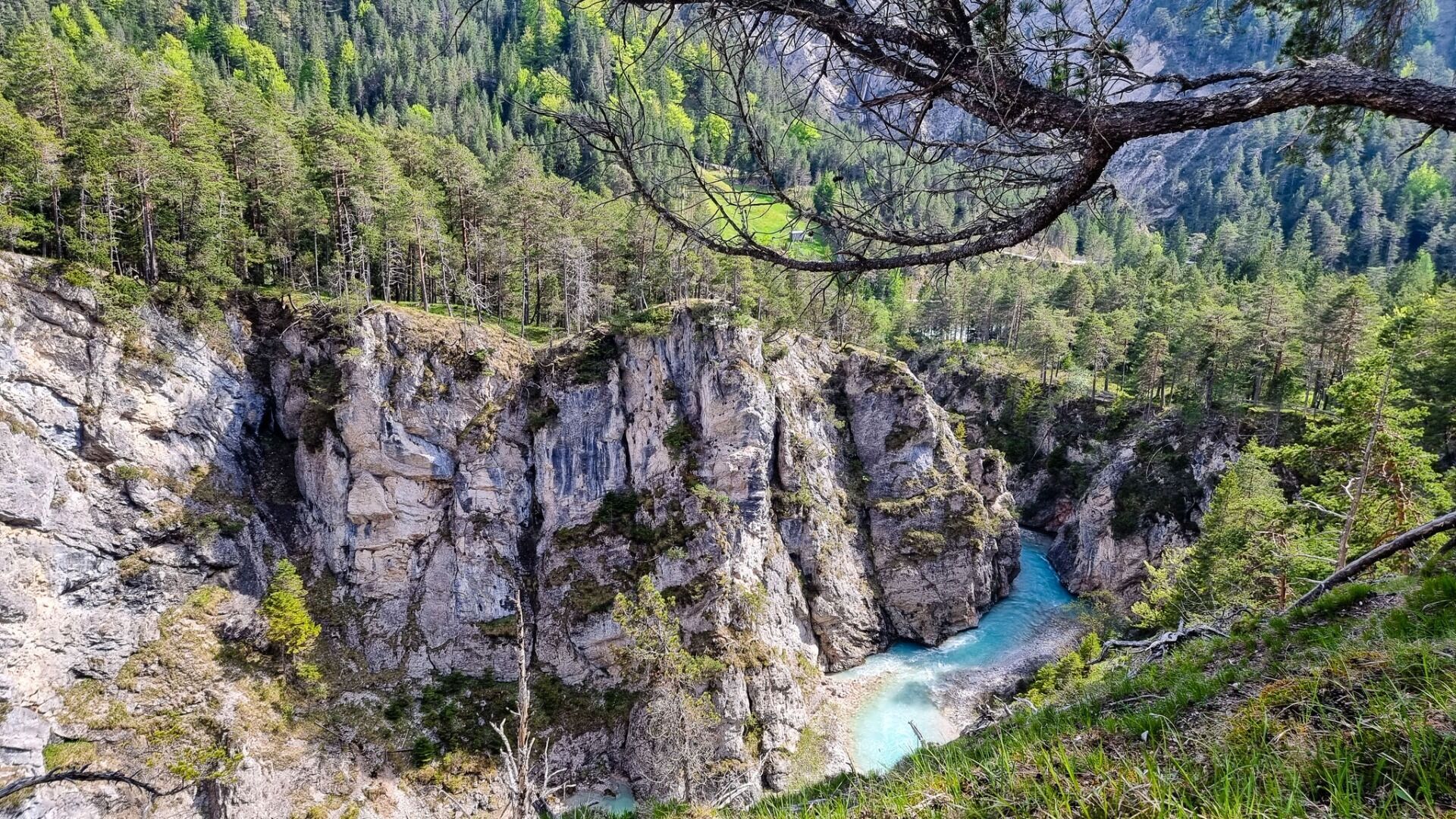
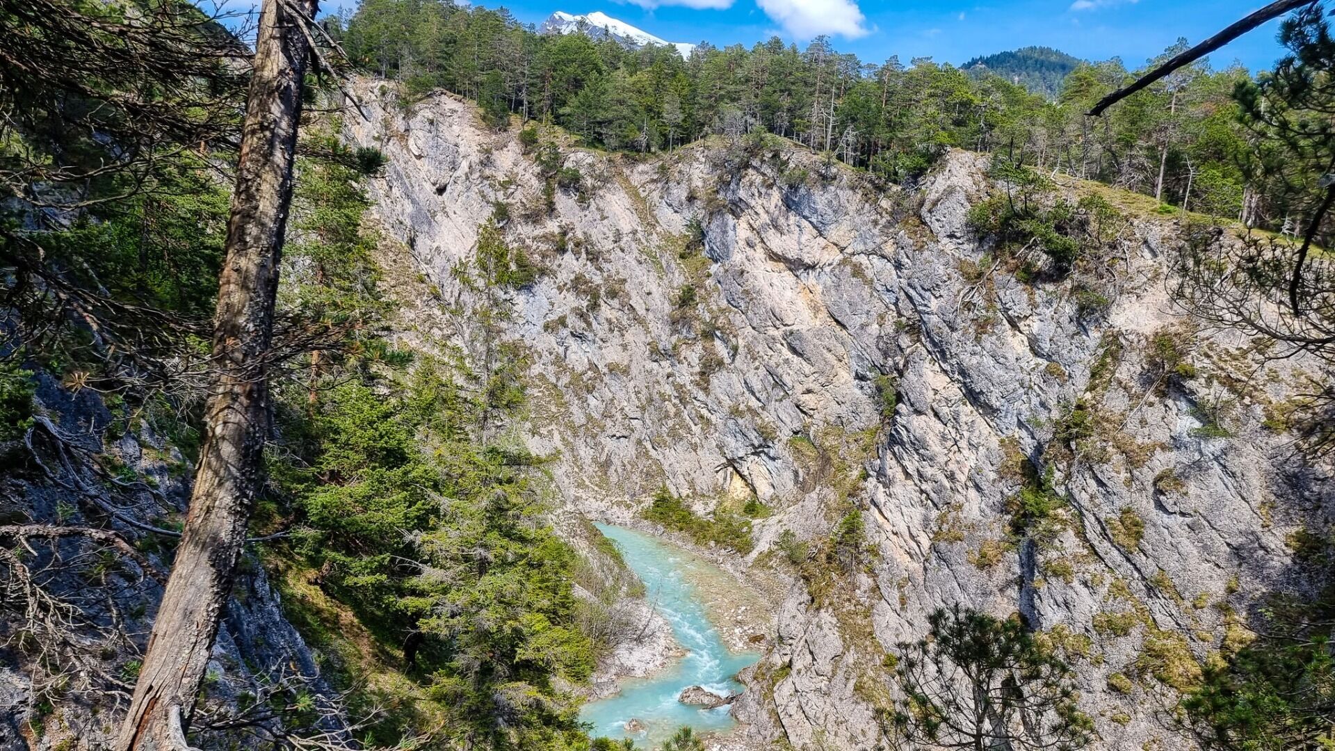
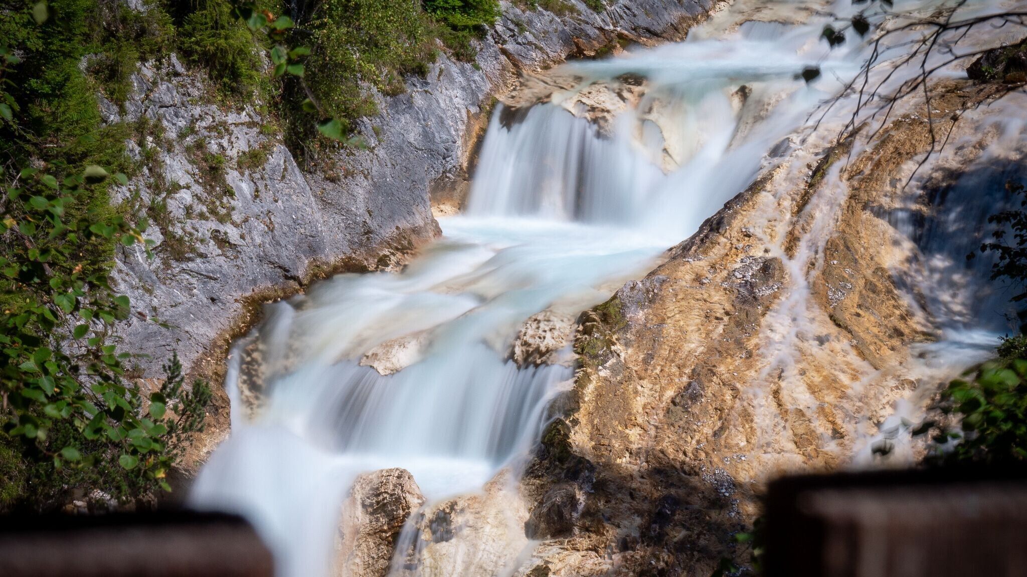
Moderate circular hike from Scharnitz over the Karwendelsteg, offering impressive views of the Karwendel Gorge, the Karwendelbach, and a picturesque waterfall – surrounded by pristine nature.
Forest roads, woodland paths, and gravel trails.
All current information about the trail closures in the Region Seefeld can be found here.
Have you been out and about in the Region and discovered a spot that we should rework or repair? Fill out the form "Report a danger zone" and let us know where work is needed.
Sturdy hiking shoes, functional clothing, a backpack, water, snacks, basic fitness, and sure-footedness are recommended for this hike.
Additionally, a hiking map or GPS, a first aid kit, sun protection, and hiking poles are advisable.
The hike takes you through the breathtaking Karwendel Gorge and offers stunning views of the untouched nature.
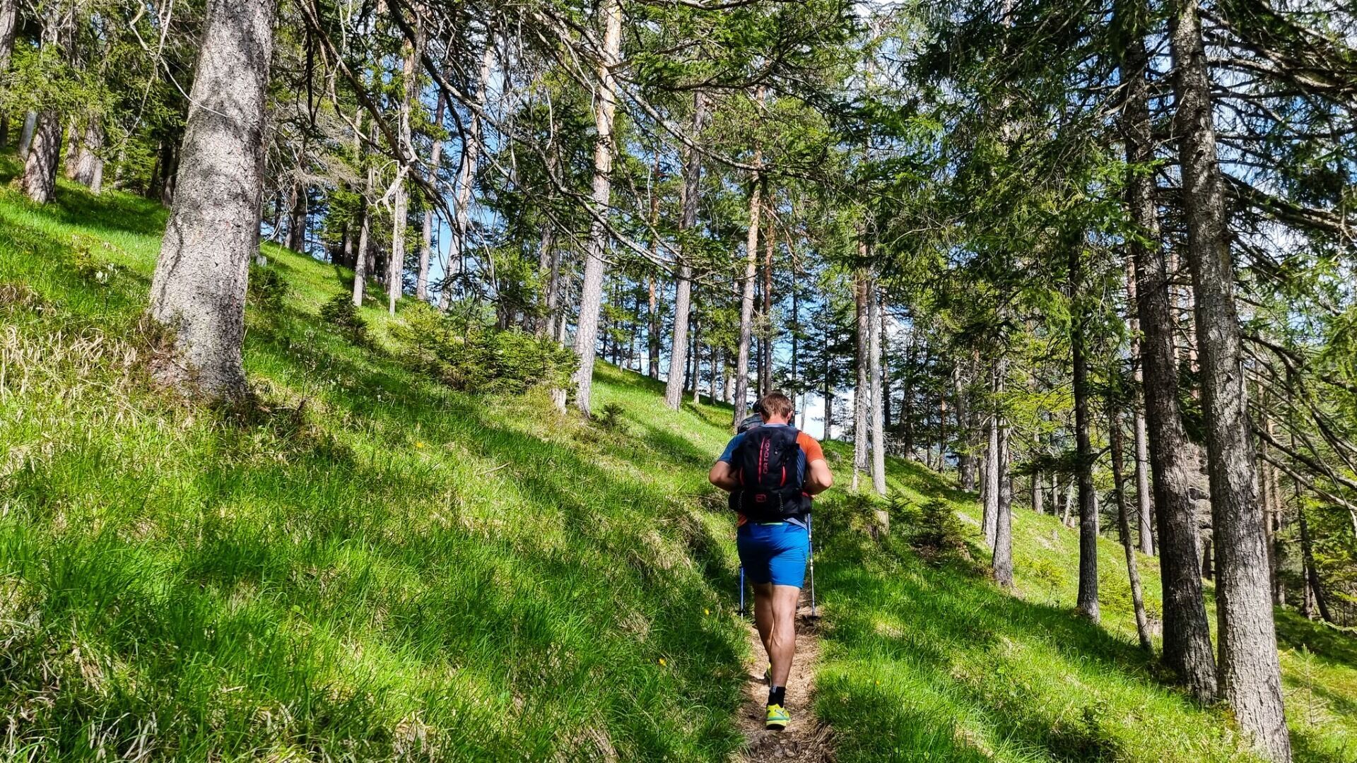
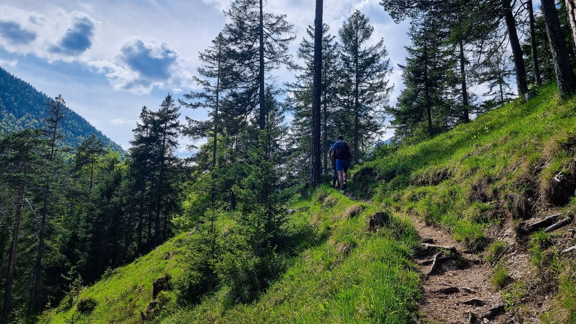
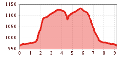
Starting at the Nature Park Information Center in Scharnitz, hikers can look forward to an adventurous tour of about three hours. The journey begins with a one-kilometer walk along Hinterautalstraße to the gravel works. Here, you turn left and follow a small path that winds up the slope in many switchbacks. The climb is challenging, but the view of the Karwendel Gorge makes the effort worthwhile.
The trail eventually leads to a forest road, where you turn right towards the Karwendelhaus. If you want a little variety, you can take a short detour to the chapel Birzelkapelle on the left. Otherwise, stay on the forest road until you reach the right turn for the Karwendelsteg. This path leads further to the forest road that branches off towards Scharnitz.
For the final two kilometers, you can either take the road back to Scharnitz or, after the gravel works, turn left to cross the Isar Bridge. From there, continue right on the Isar Trail back to the starting point of the hike.
This tour tempts with beautiful views and peaceful moments in nature – a perfect opportunity to experience the Karwendel in tranquility.
By train to Scharnitz train station, then a 10-minute walk to the starting point at the Nature Park Information Center.
All real-time connections can be found in the route planner.


.jpg")


.jpg")

 Olympiaregion Seefeld")


.jpg")


.jpg")


.jpg")
 (2).jpg")
