
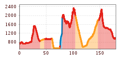
Difficulty:difficult
Length:13.0 kmDuration:9:00 hElevation uphill:800 m
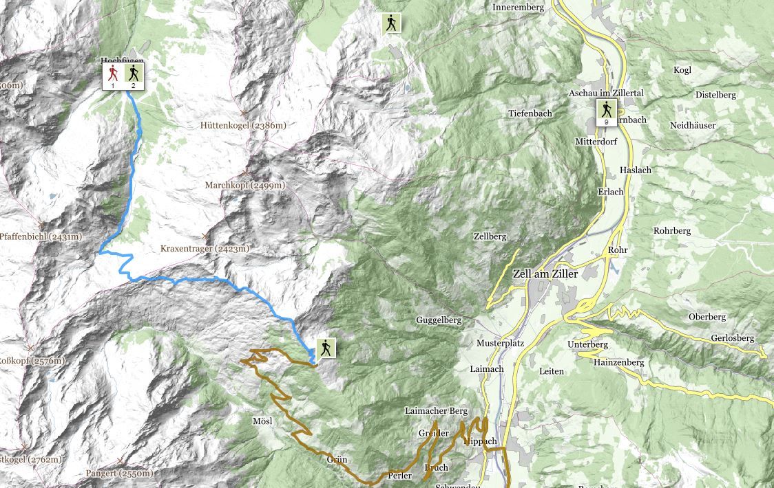
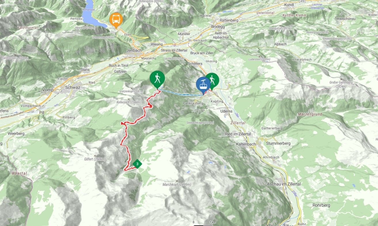
Many paths lead across the Alps, including an easy one. This crossing of the Alps from Gmund to Sterzing is also ideal for pleasure-seekers on predominantly easy to moderately difficult paths.
A seven-day crossing of the Alps on easy to moderately difficult mountain trails. Comfortable hiking, manageable distances, hardly any alpine dangers - these are the characteristics of this easy crossing of the Alps. In terms of scenic charm, however, it is in no way inferior to other, more difficult routes.


.jpg")
.jpg")


 Mirja Geh (26).jpg")


