
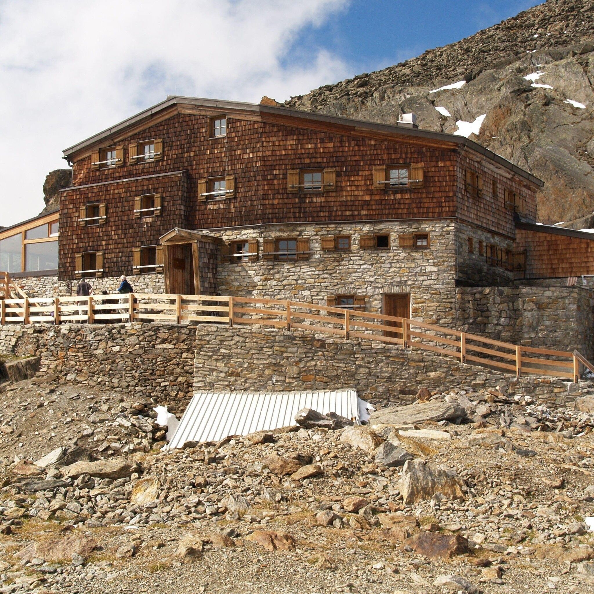
Place:
St.Leonhard im Pitztal
:
Alpine pasture / hut / mountain restaurant
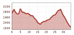
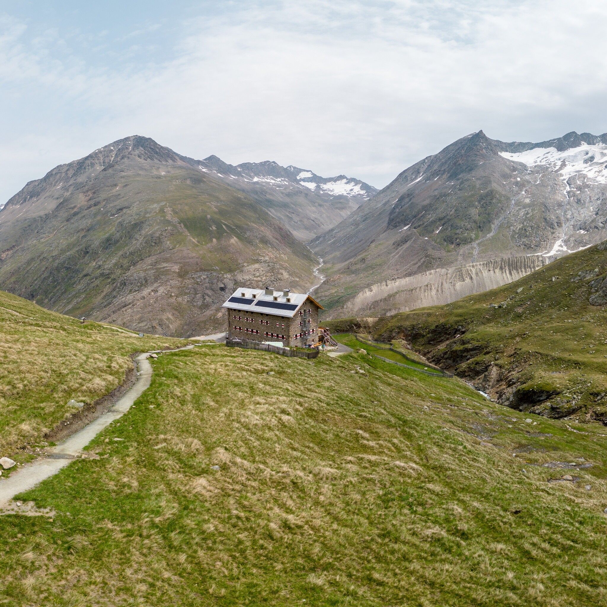
Braunschweigerhütte -> Pitztaler Jöchl (2,990m) -> Tiefenbach Glacier -> Vent -> Martin Busch Hut (2,501m) -> Similaun Hut (3,019m) -> Vernagt am See in the Schnalstal Valley
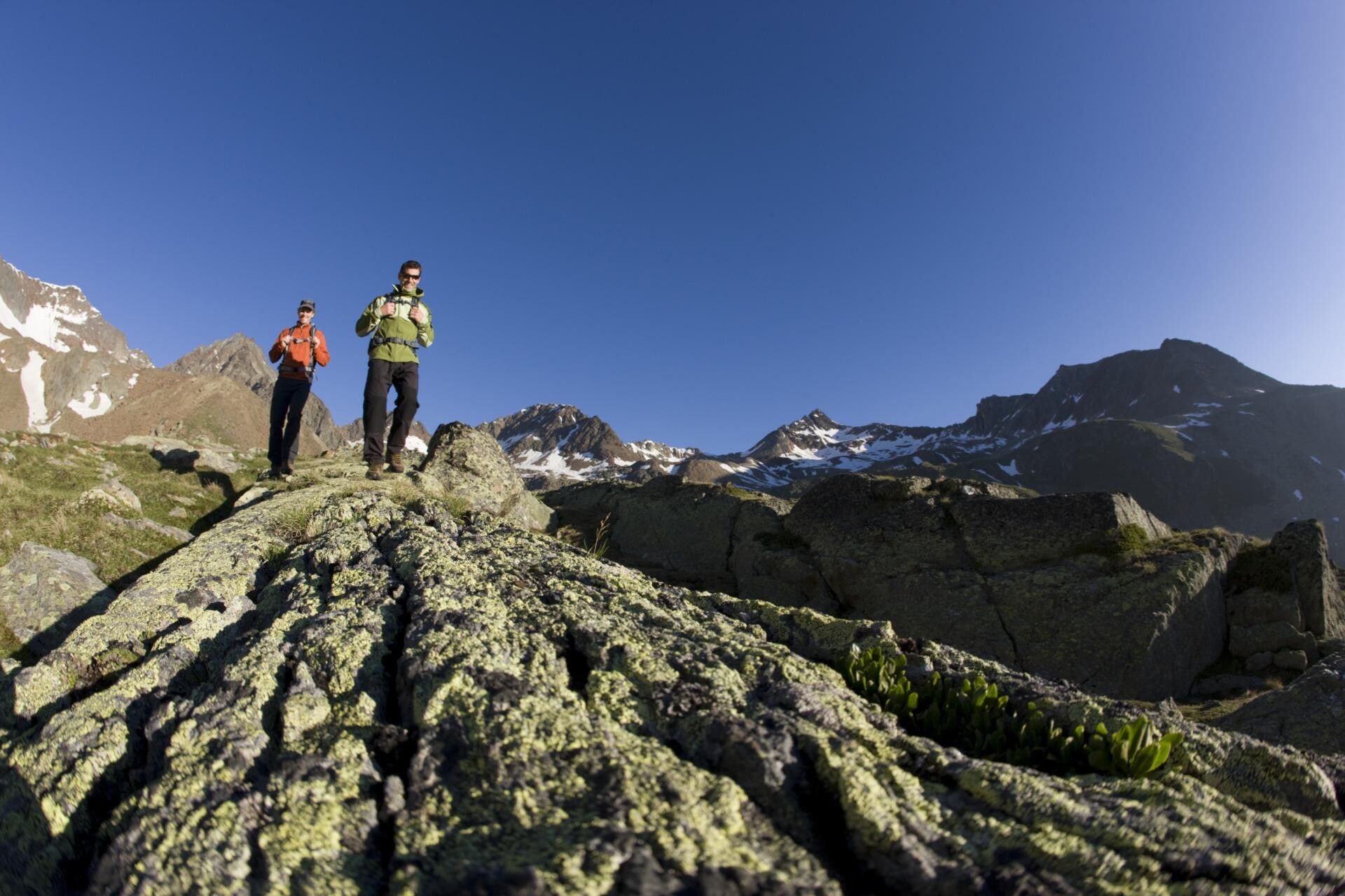
For hikers who are not afraid of heights, surefooted, and experienced in high alpine terrain; excellent physical condition, extensive mountain experience, alpine climbing equipment, securing and navigation aids, and good weather conditions are recommended. Please check the current weather report at: www.oetztal.com/de/sommer
Appropriate equipment such as breathable and weather-appropriate outdoor clothing, ankle-high hiking boots, wind, rain and sun protection, a hat, and possibly gloves are required for all hikes and routes. Carrying a first aid kit, a mobile phone, and possibly a hiking map, as well as sufficient provisions for hikes without the possibility of stopping to eat, is necessary.
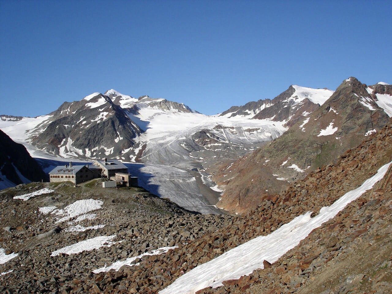
From the Braunschweigerhütte, hike up to Pitztaler Jöchl (2,990m) and over snow and ice to the Rettenbachferner in the Ötztal. The view of the surrounding glacier world and the 3,000-meter peaks is unique. From the Rettenbachferner, continue by bus to the Tiefenbach Glacier. Along the high panoramic trail, hike from about 2,800 m down to the mountain village of Vent at about 1,900 m. The trail runs from the glacier over the slopes of Mutboden, Weißkar, and Sonnenberg to lush alpine meadows. Upon arrival in Vent, several inns invite you to stop for a meal before heading back uphill to the Martin Busch Hut (2,501m). From Vent to Ochsenkopf, halfway up which turn left into the Niedertal. On a wide path past the mountain guide chapel and the shepherd's hut, continue on a moderately ascending path to the Martin Busch Hut and onward to the Similaun Hut. Here is the opportunity for a detour to the Ötzi, the Iceman’s discovery site 3,200 m (secured with rope, 1.5 h). At the highest point of this route, the Niederjoch, you cross the main Alpine ridge and hike from the high alpine region down to the valley of Vernagt am See in the Schnalstal.
Travel comfortably and safely by train to the Ötztal station. The final stop or departure point is the ÖTZTAL station. Then you can conveniently and quickly travel by public transport or local taxi companies through the entire valley to your desired destination! The current bus timetable is available at: http://fahrplan.vvt.at


