Mountain hikes Finesweg to Serfaus (illuminated trail)

closed
Fiss / Samnaungruppe
Difficulty ratings: easy
Route length: 1.8 km
Duration: 1:00 h

Finesweg to Serfaus (illuminated trail)

Tour information

  • Requirement: easy
  • Length: 1.8 km
  • Duration: 1:00 h
  • Elevation uphill:38 hm
  • Elevation downhill:33 hm
Highest point1,427 m

Starting point

Main street Fiss

Finishing point

Parking garage Serfaus

Features

  • suitable for pushchairs
Source: Serfaus-Fiss-Ladis

Description

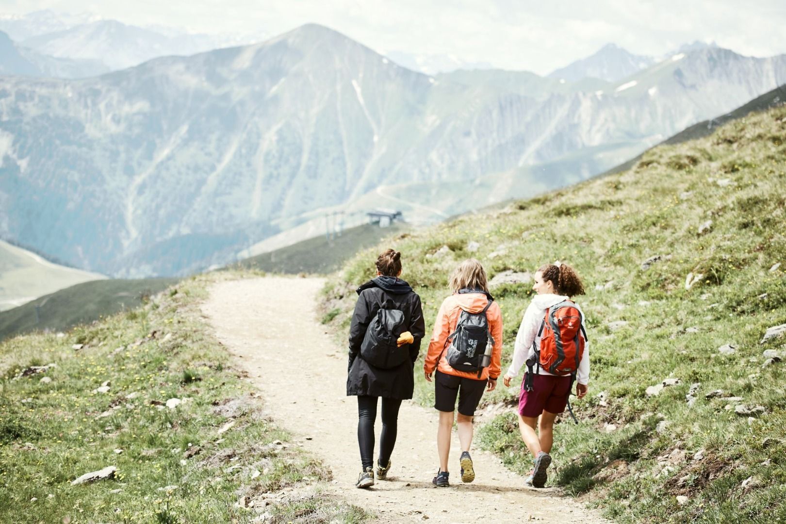
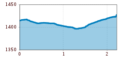
This illuminated trail for hiking and biking between Fiss and Serfaus is mostly flat, asphalted throughout, leading in the first segment parallel to the main traffic road, then is more free ranging in the Serfaus meadows to the large parking lot and on to the village centre.

Nearby huts and mountain restaurants

More tours in the surrounding area

  • Wild Animals Trail

    Opening hours:closed
    Difficulty:easy
  • Marmot Trail

    Opening hours:closed
    Difficulty:easy
    Length:573 mDuration:0:20 hElevation uphill:12 m
  • Forscherpfad

    Opening hours:closed
    Difficulty:easy
    Length:3.4 kmDuration:1:30 hElevation uphill:219 m
  • Fiss to the Oberen Sattelkopf

    Opening hours:closed
    Difficulty:medium
    Length:5.6 kmDuration:3:00 hElevation uphill:1,079 m
  • Six Senses trail

    Opening hours:open
    Difficulty:easy
    Length:5.7 kmDuration:4:00 h
  • Murmeltiersteig (Marmot alpine trail)

    Opening hours:closed
    Difficulty:medium
    Length:6.9 kmDuration:3:00 hElevation uphill:302 m
  • Six Senses trail

    Opening hours:closed
    Difficulty:easy
    Length:6.5 kmDuration:4:00 hElevation uphill:99 m
Newsletter

The mountain is calling? So does our newsletter!

In our monthly newsletter we reveal the best holiday tips for Tyrol.