
Arrival by public transport
Linienbus
4104
Bus stop Finkenberg-Teufelsbrücke
Varied valley hike along the gorge!


Sports shoes with good thread sole – BETTER: light hiking shoes
Clotihing suitable for the weather
Sunscreen
Drinks and food
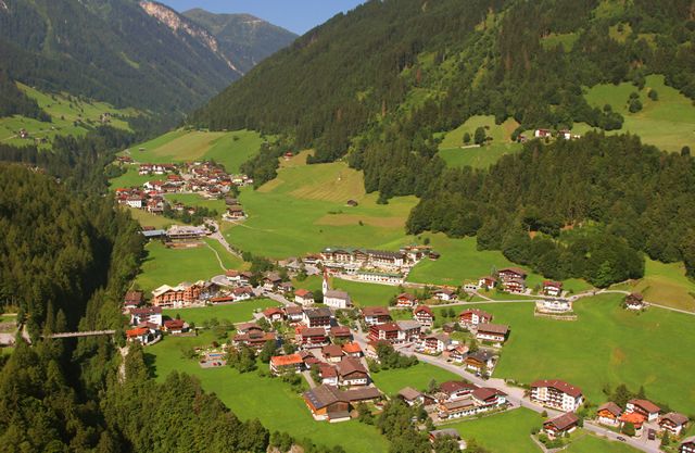
Follow the gorge from the Devil's bridge, past the valley station of the Finkenberger Almbahnen cable car to the district of Dorf along path no. 31. Make your way through orchards and further along the gorge to the district of Au and Gstan and thence to Mayrhofen.
Linienbus
4104
Bus stop Finkenberg-Teufelsbrücke
Bus/train
from Jenbach with the Zillertalbahn railway
to Mayrhofen station
from Mayrhofen railway station, take the 4104 bus to Finkenberg-Teufelsbrücke
CAR
Zillertal: B 169 from
Strass/Brettfalltunnel to Mayrhofen - junction Ginzling/Hintertux
Tuxertal: turn right at the crossroads and stay on the L 6 Tuxer Landesstraße
to Finkenberg-Teufelsbrücke


