
Opening hours:Open today
Place:Going am Wilden Kaiser
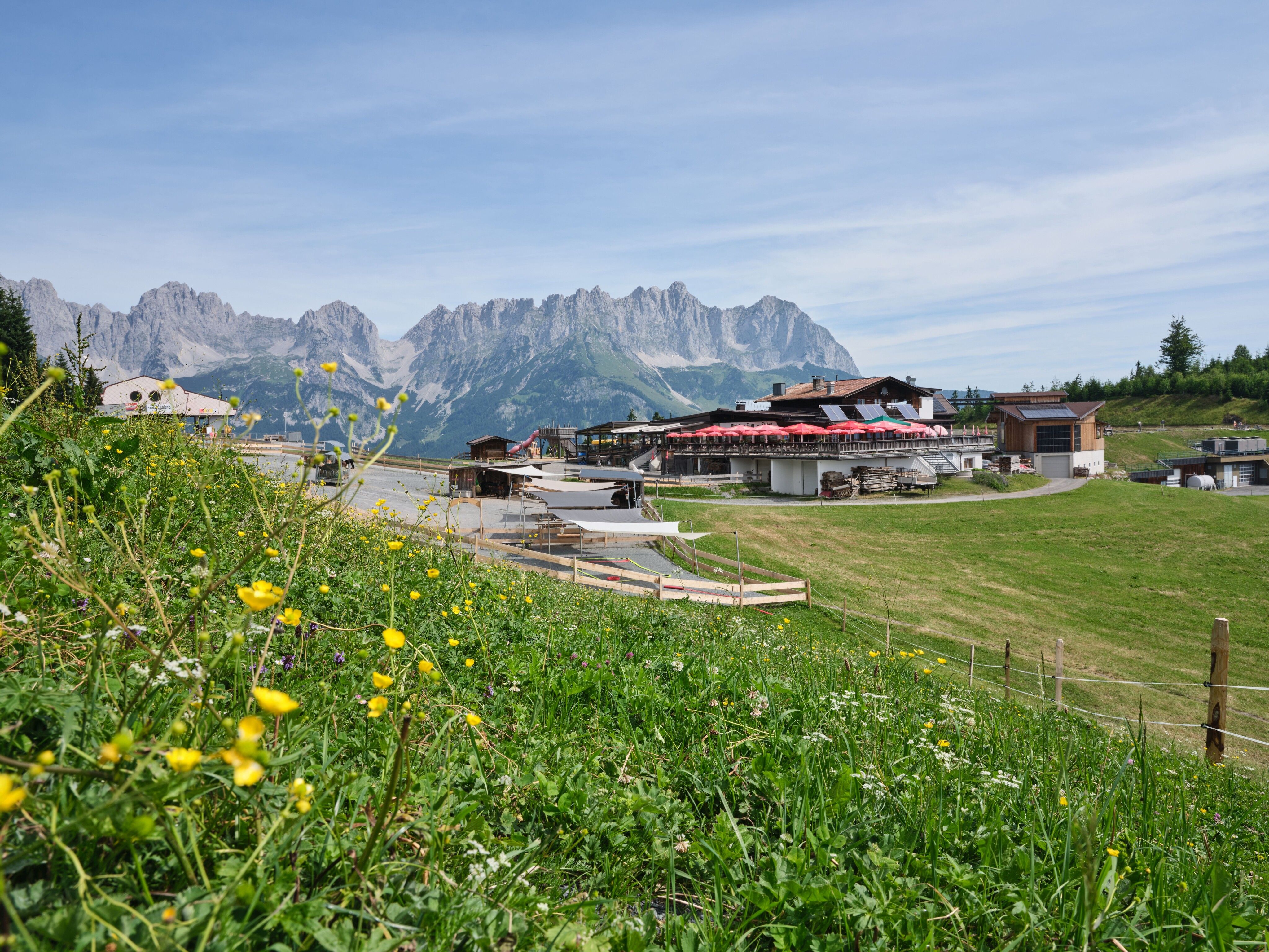
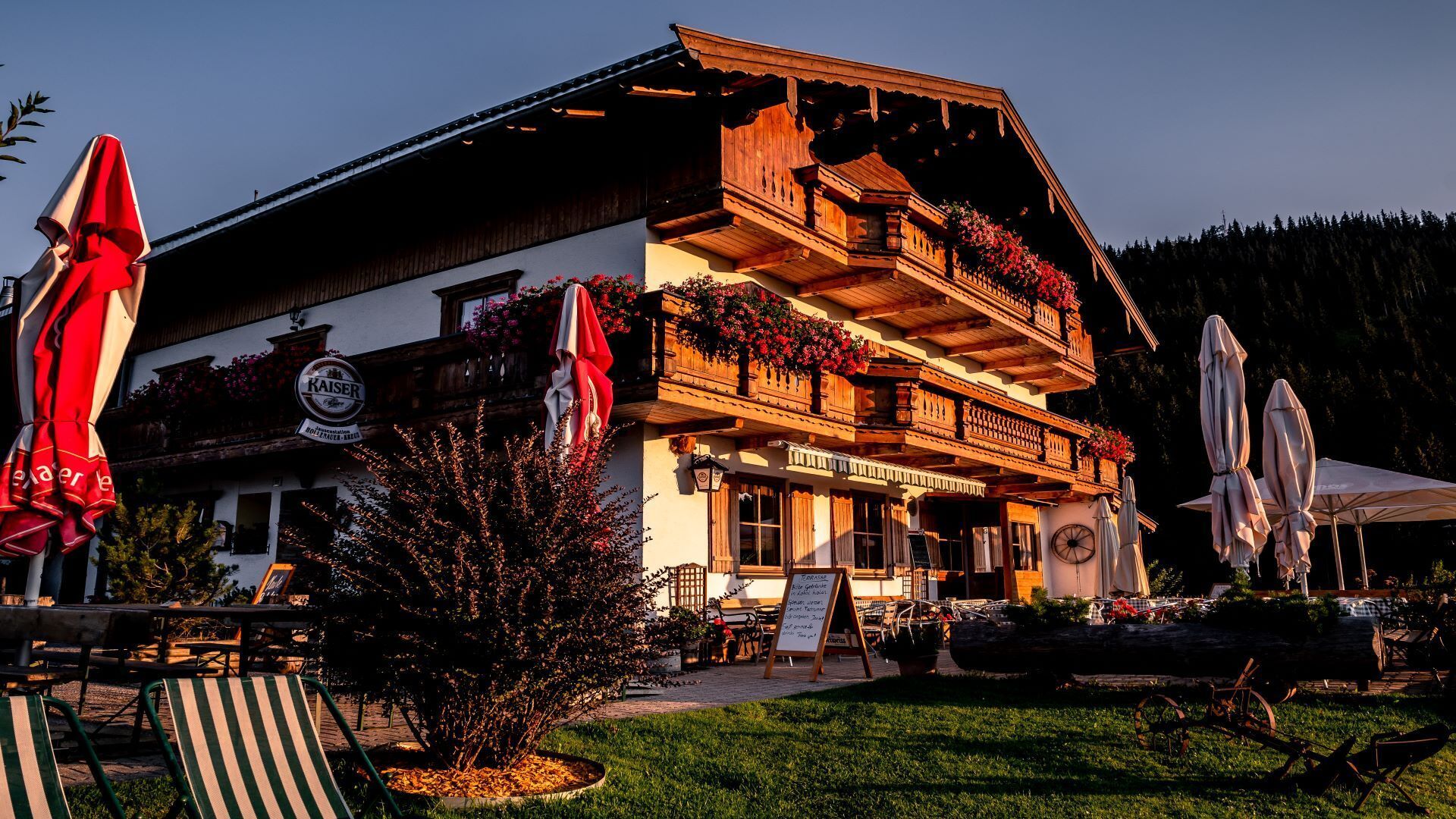
:Alpine pasture / hut / mountain restaurant
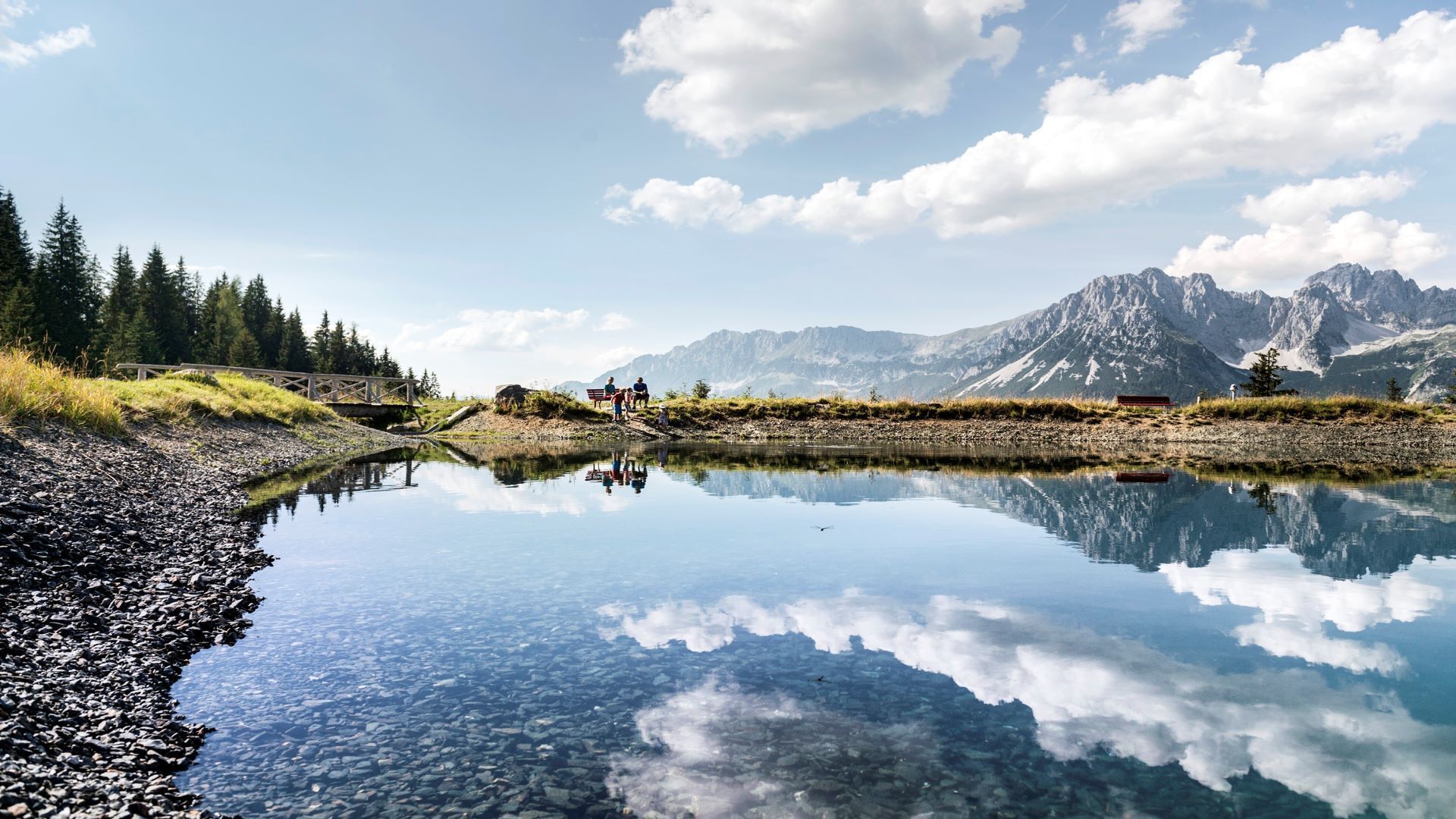
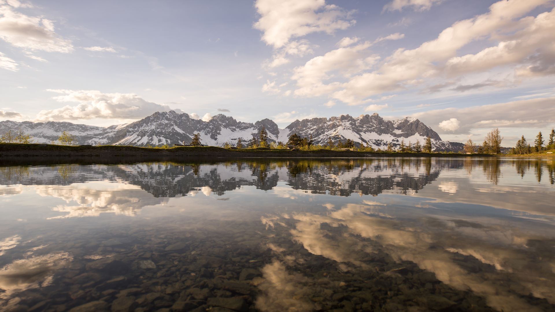
A beautiful tour up to the Astberg lake via the Hollenauer Kreuz with fantastic views


Start this tour at the 'Lanzenweg' in Going.
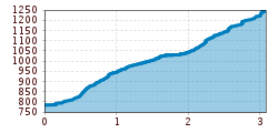
Follow the Lanzenweg and after approx. 200 metres turn left onto hiking trail no. 6 and follow the path through meadows and forests until you reach the Hollenauer Kreuz. After a short rest on the small bench at the Hollenauer Kreuz, follow trail no.7, the Wilder Kaiser always at your back, until you reach the Astberg lake, the "Kaiser’s Mirror" and enjoy it in its full splendor.
Take the same route back: hiking trail no. 7 from Astberg to Hollenauer Kreuz; hiking trail no. 6 from Hollenauer Kreuz to the starting point "Lanzenweg".
KaiserJet or Postbus stops “Going Dorf”.
More information at: www.wilderkaiser.info
Public car park Center, Going (752 m) – free


")


 © Bergbahn Pillersee.jpg")
