Mountain hikes Gehrenspitze (2.163 m)

Höfen / Allgäu Alps
Difficulty ratings: difficult
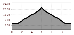
Route length: 11.8 km
Duration: 6:15 h

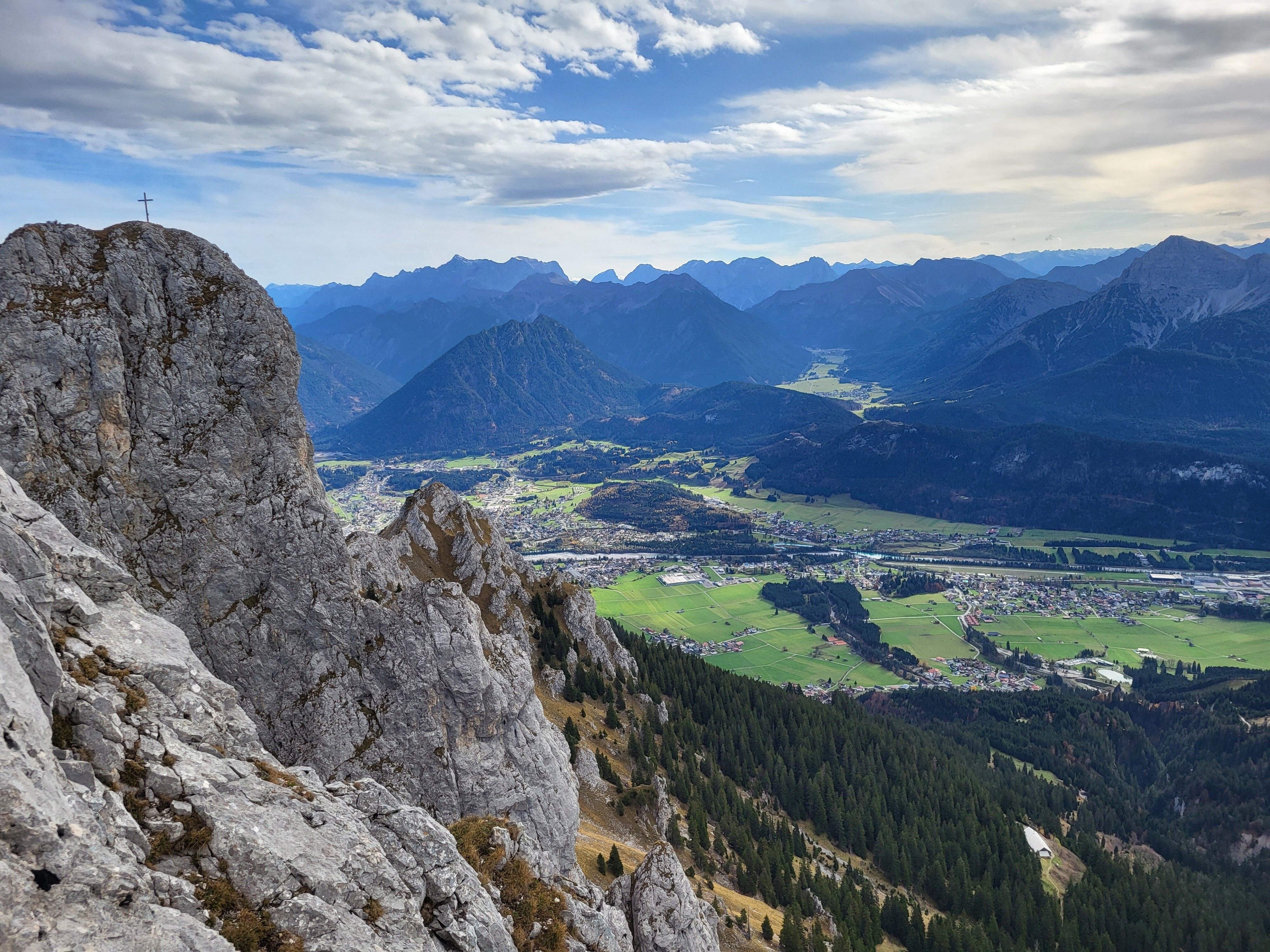
Challenging and exposed alpine summit tour to Gehrenspitze for experienced mountaineers.
Tour information

  • Requirement: difficult
  • Length: 11.8 km
  • Duration: 6:15 h
  • Elevation uphill:1,230 hm
  • Elevation downhill:1,232 hm
Highest point2,163 m

Starting point

Bergwelt Hahnenkamm car park

Finishing point

Bergwelt Hahnenkamm car park
  • Fitness level 5 / 6
  • Technique 5 / 6

Best time of year

  • January
  • February
  • March
  • April
  • May
  • June
  • July
  • August
  • September
  • October
  • November
  • December

Trail condition

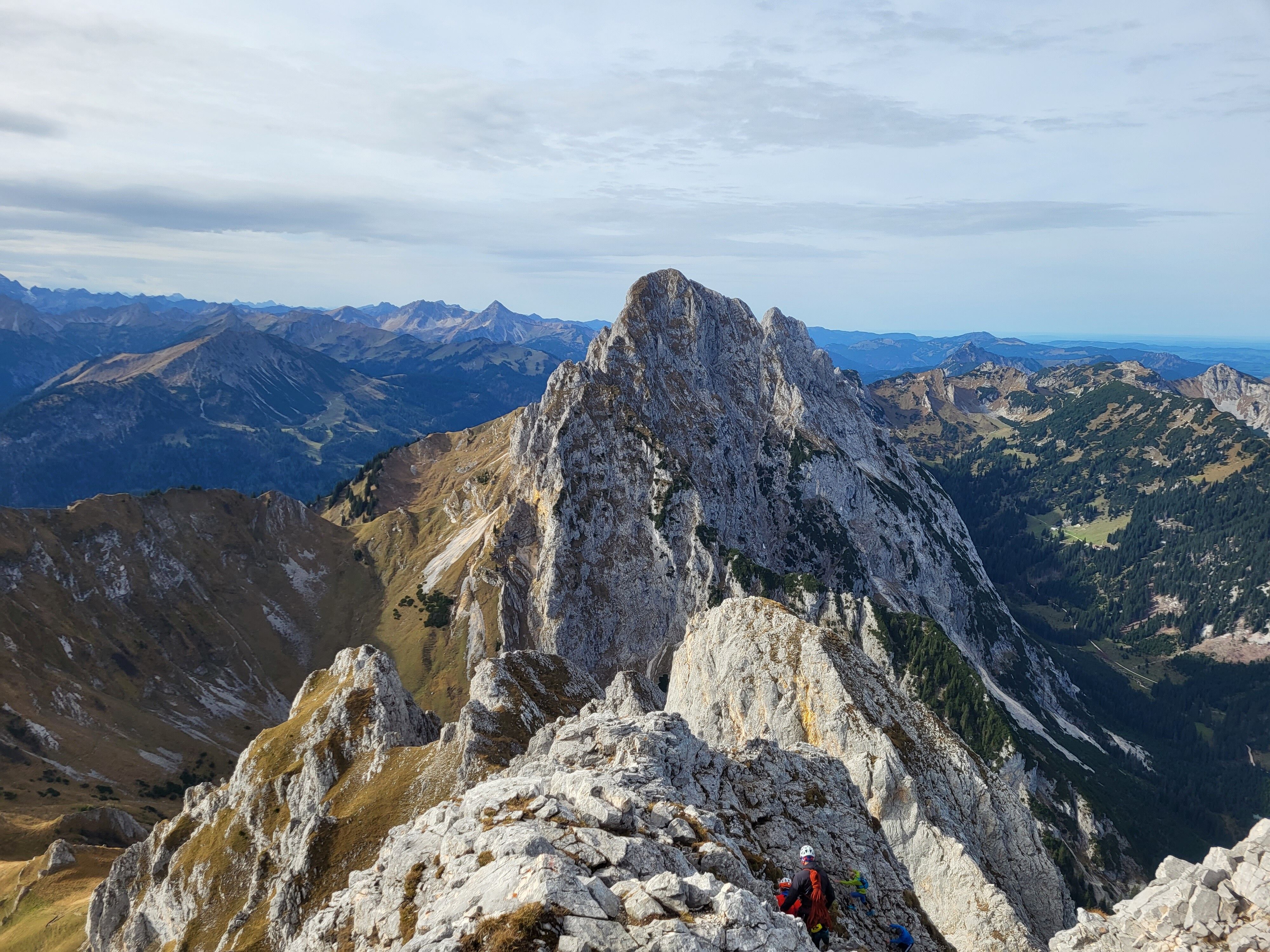
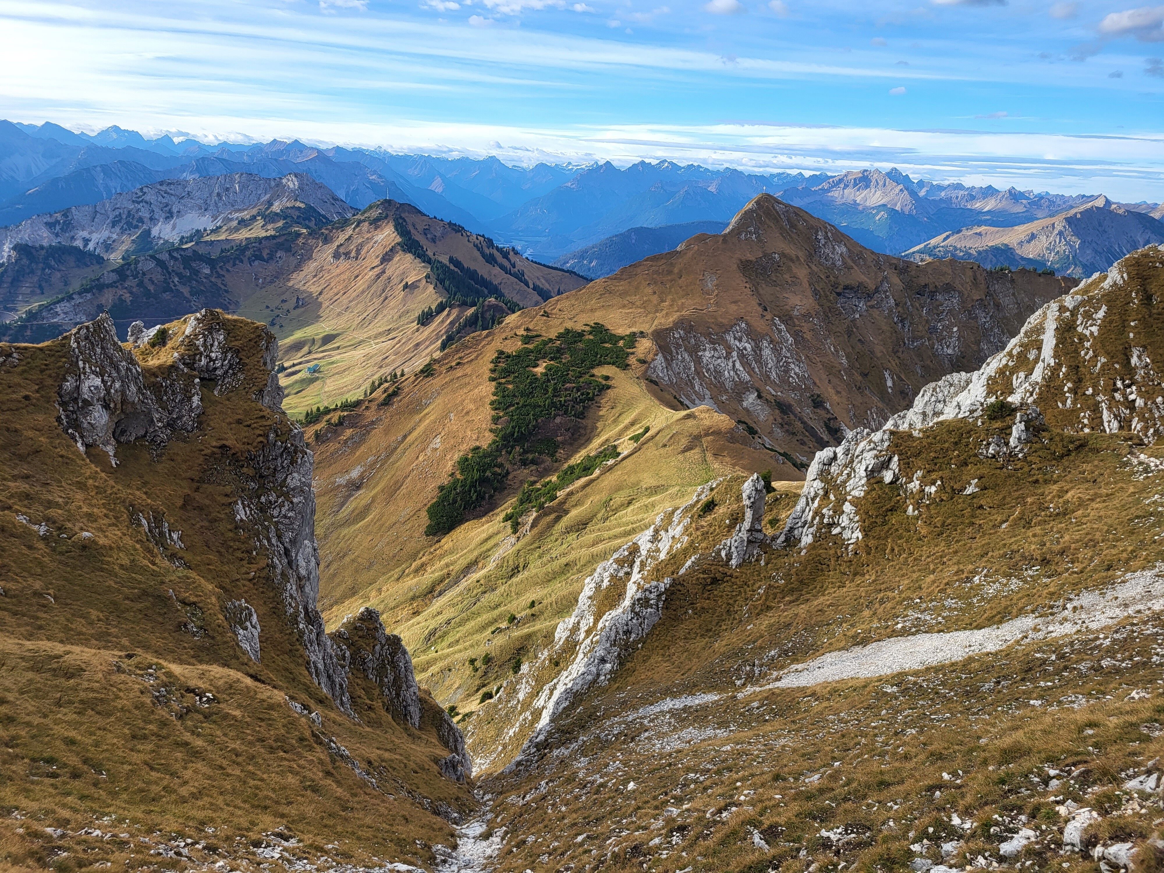
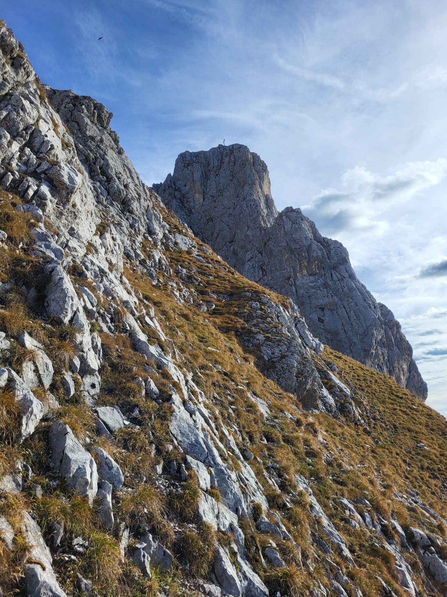
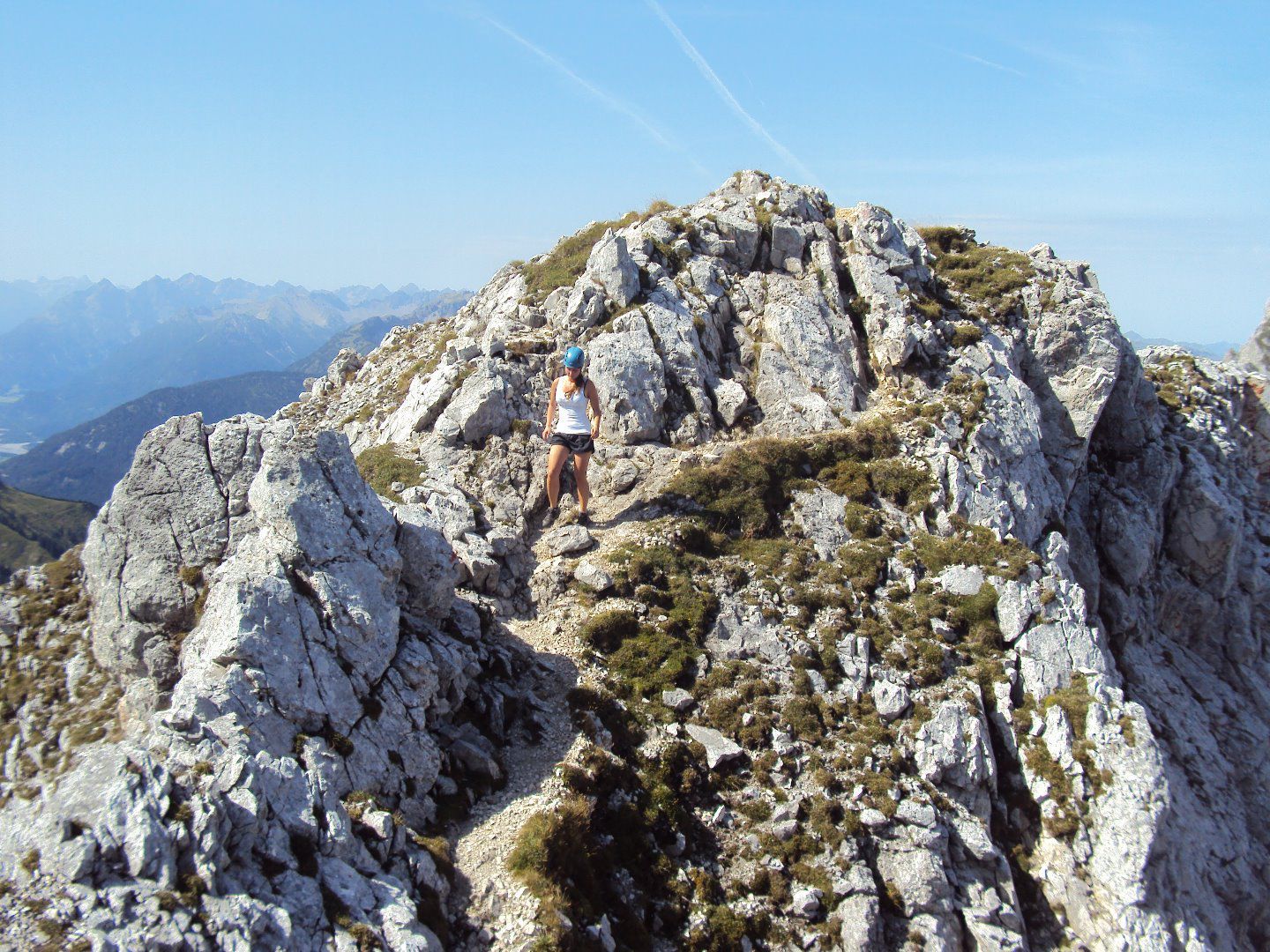
Hiking trail and mountain ridge. Steep, rocky and exposed terrain between Gehrenjoch and the summit. This route is not recommended in wet conditions, as the rocks can become slippery.

Equipment

Sturdy mountaineering boots, hiking backpack, hiking poles, functional clothing, waterproof clothing, sun protection (sun cream, sunglasses and a hat), first aid kit including an emergency bivouac sack, hiking map (printed or digital), mobile phone, plenty of water and food.
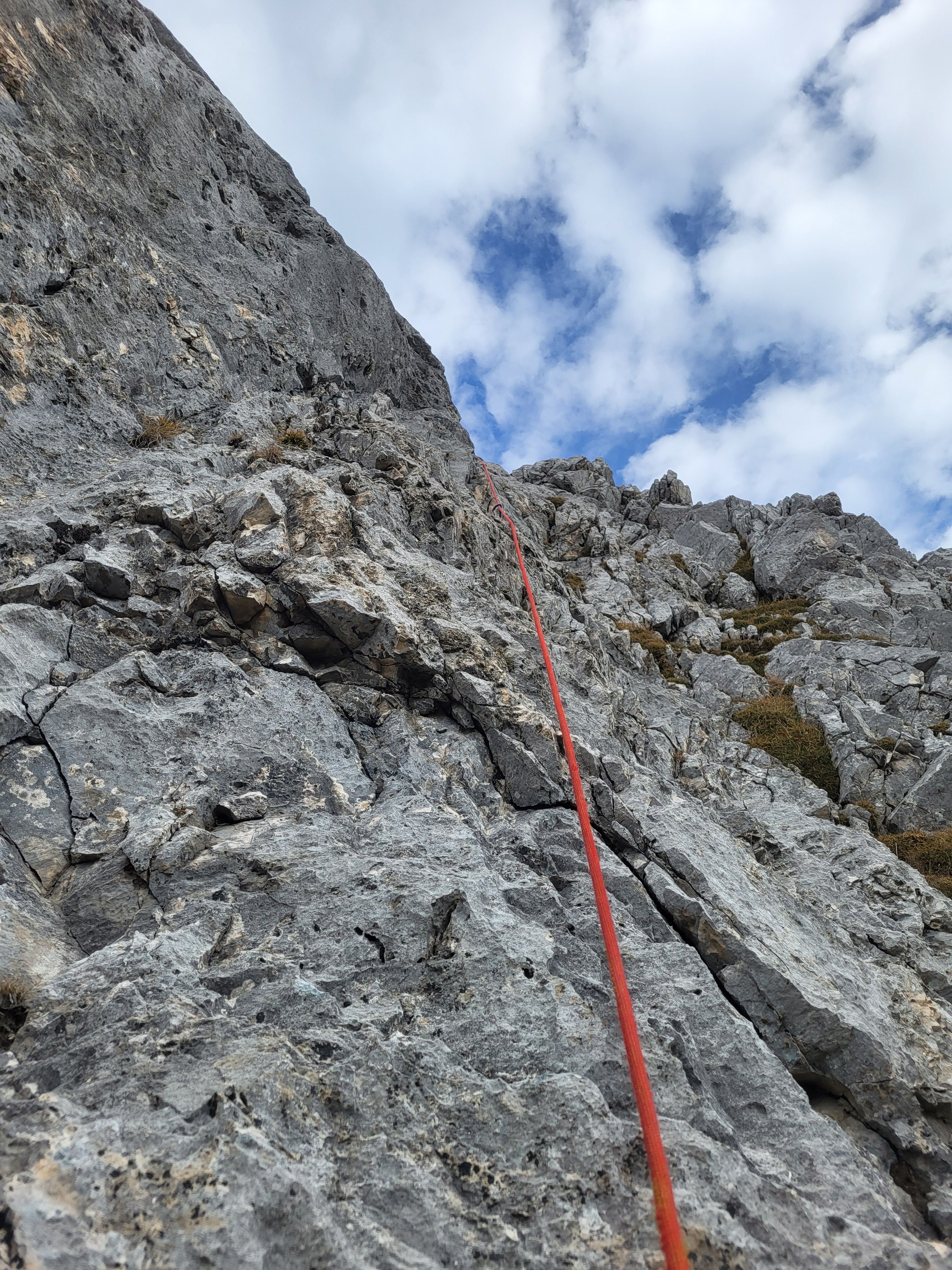
Additionally required: Climbing helmet and safety rope.
Equipment should always be adapted to the season, weather conditions and personal experience.
Source: TVB Naturparkregion Reutte

Description

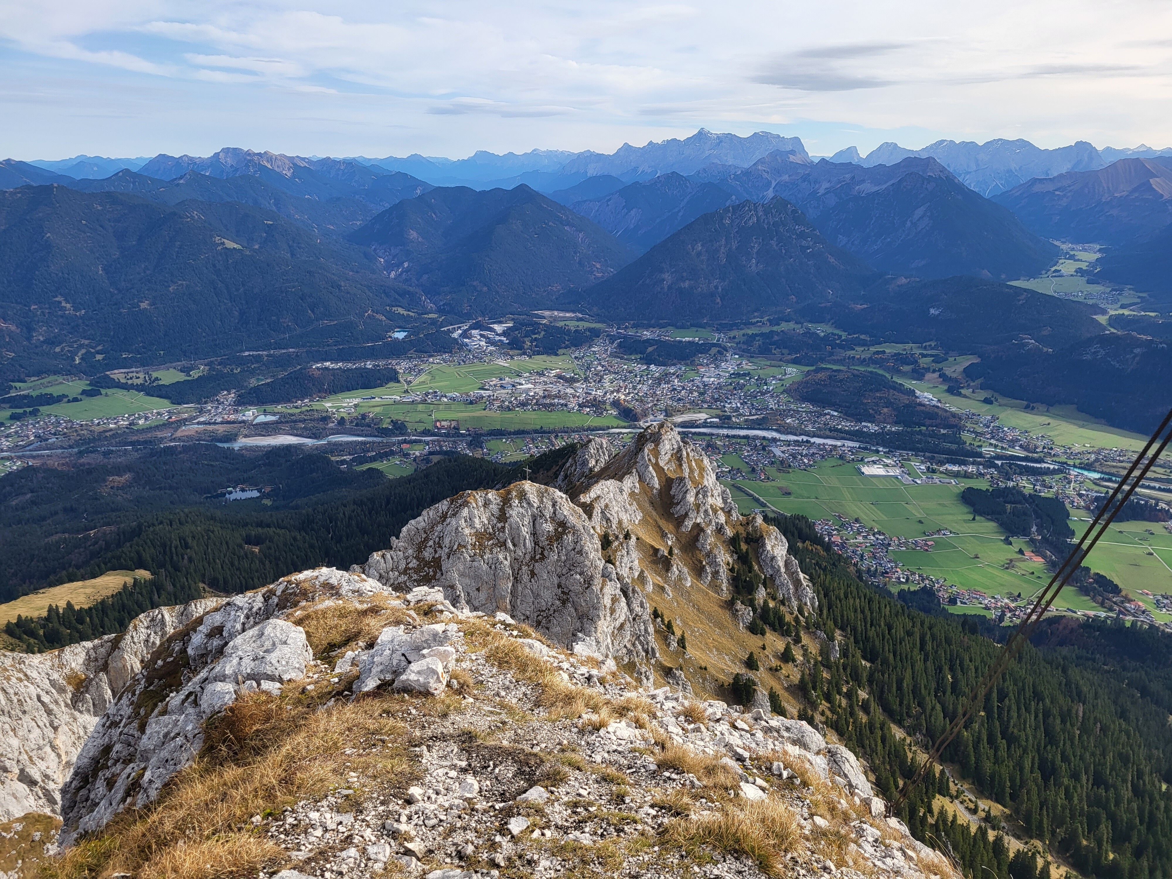
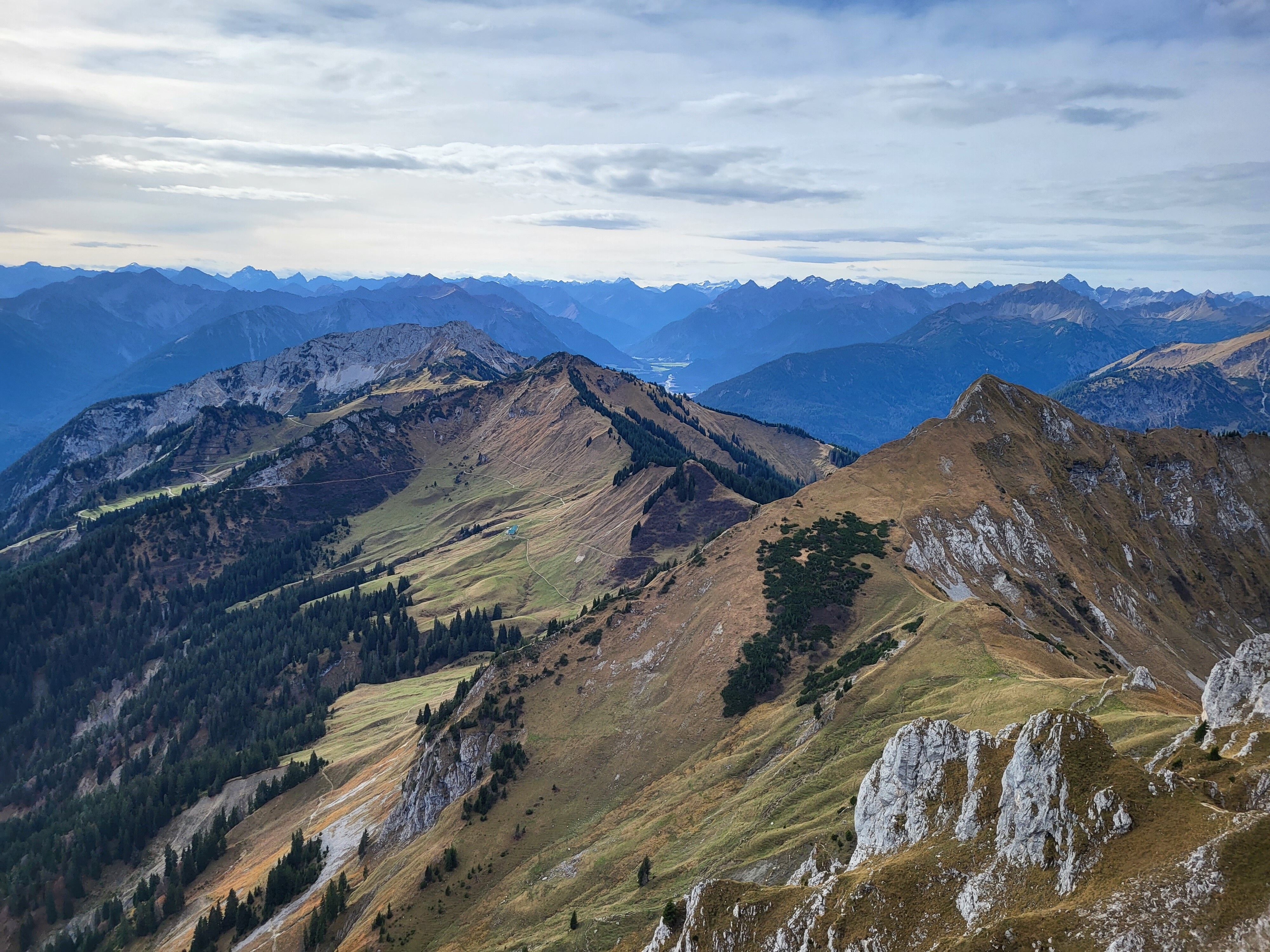
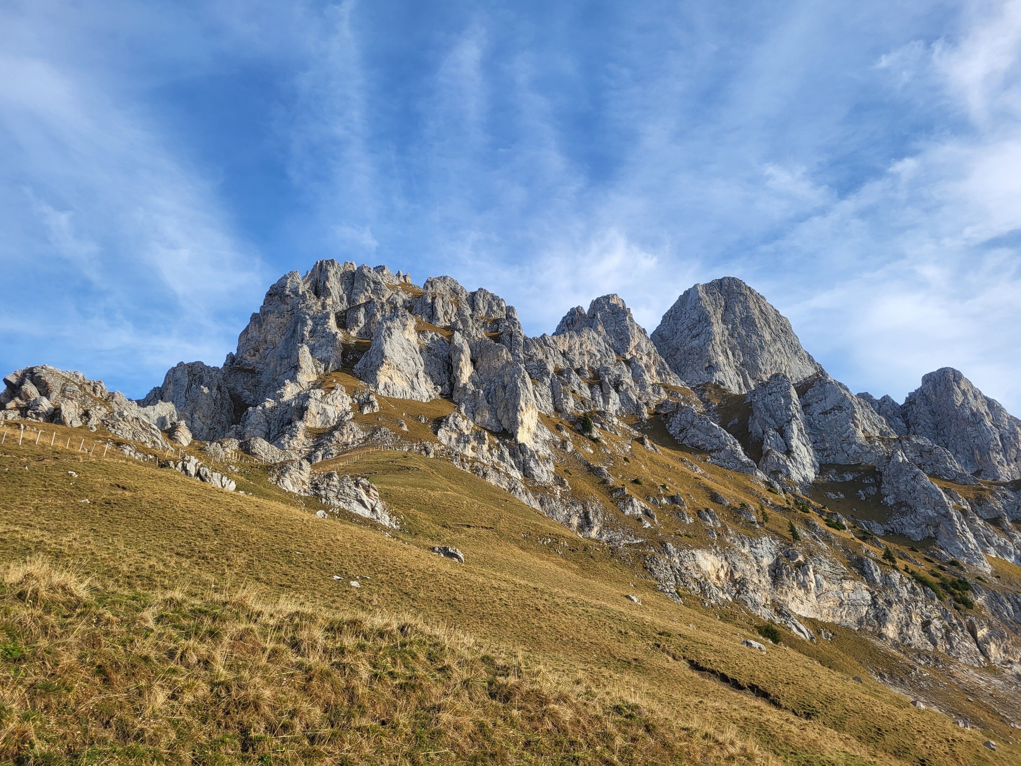
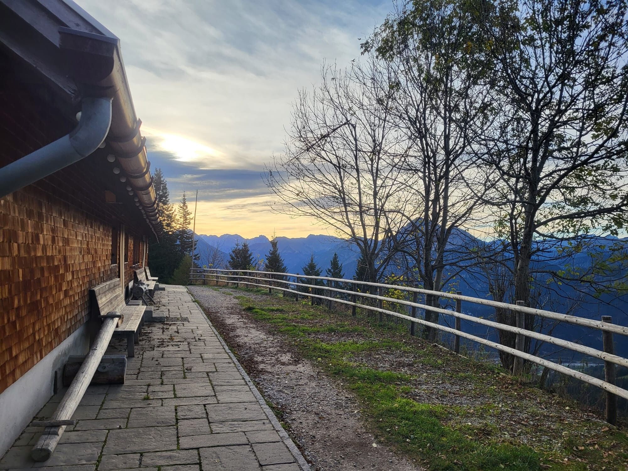
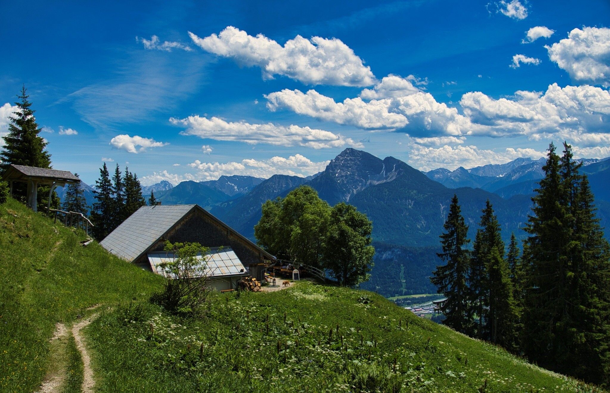
The tour starts at the car park of Bergwelt Hahnenkamm in Höfen. From there, cross the Leimbach stream and follow the trail uphill through the forest to the Gehrenalpe mountain hut, where you can stop for refreshments before continuing the ascent. The trail then leads to the Gehrenjoch and continues along an exposed mountain ridge with challenging scrambling sections to the summit of the Gehrenspitze. The return to the valley follows the same route.

Warning: Difficult and demanding mountain route! Sure-footedness, a good head for heights, excellent physical fitness and basic climbing skills are essential. A climbing helmet and safety rope are required.

Nearby huts and mountain restaurants

Getting here

  • Arrival by public transport

    Take regional bus line 1 to the "Wängle Holz" stop or line 110 to the "Höfen Reuttener Seilbahn" or "Höfen Tourismusbüro" stops. Timetables and bus stops can be found at www.vvt.at.
    Alternative option: RegioFlink on-demand shuttle – the flexible mobility service provided by VVT.

  • Parking

    The Reutte Nature Park Region can be reached by car as well as by public transport: Arrival & Mobility
    Parking: Bergwelt Hahnenkamm car park (fee applies)

Weather

Today

mainly clear
14°C/6°C
0%0l5 km/h

Tue

mainly clear
16°C/5°C
65%3.8l10 km/h

Wed

moderate rain
11°C/5°C
85%17.7l5 km/h
Go to weather forecast

More tours in the surrounding area

Newsletter

The mountain is calling? So does our newsletter!

In our monthly newsletter we reveal the best holiday tips for Tyrol.