Mountain hikes Gießen route active route Münster

Münster / Brandenberger Alpen (Rofan)
Difficulty ratings: easy
Route length: 3.1 km
Duration: 0:45 h

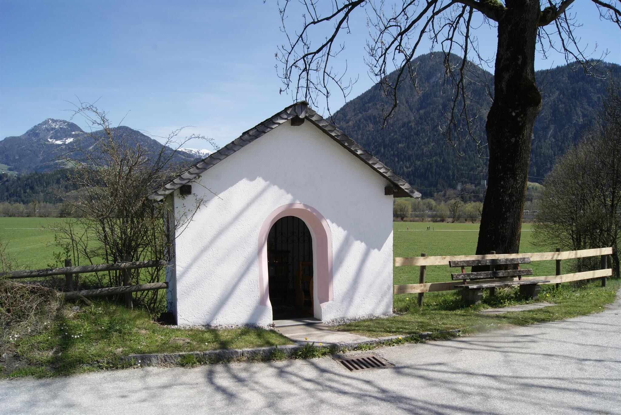
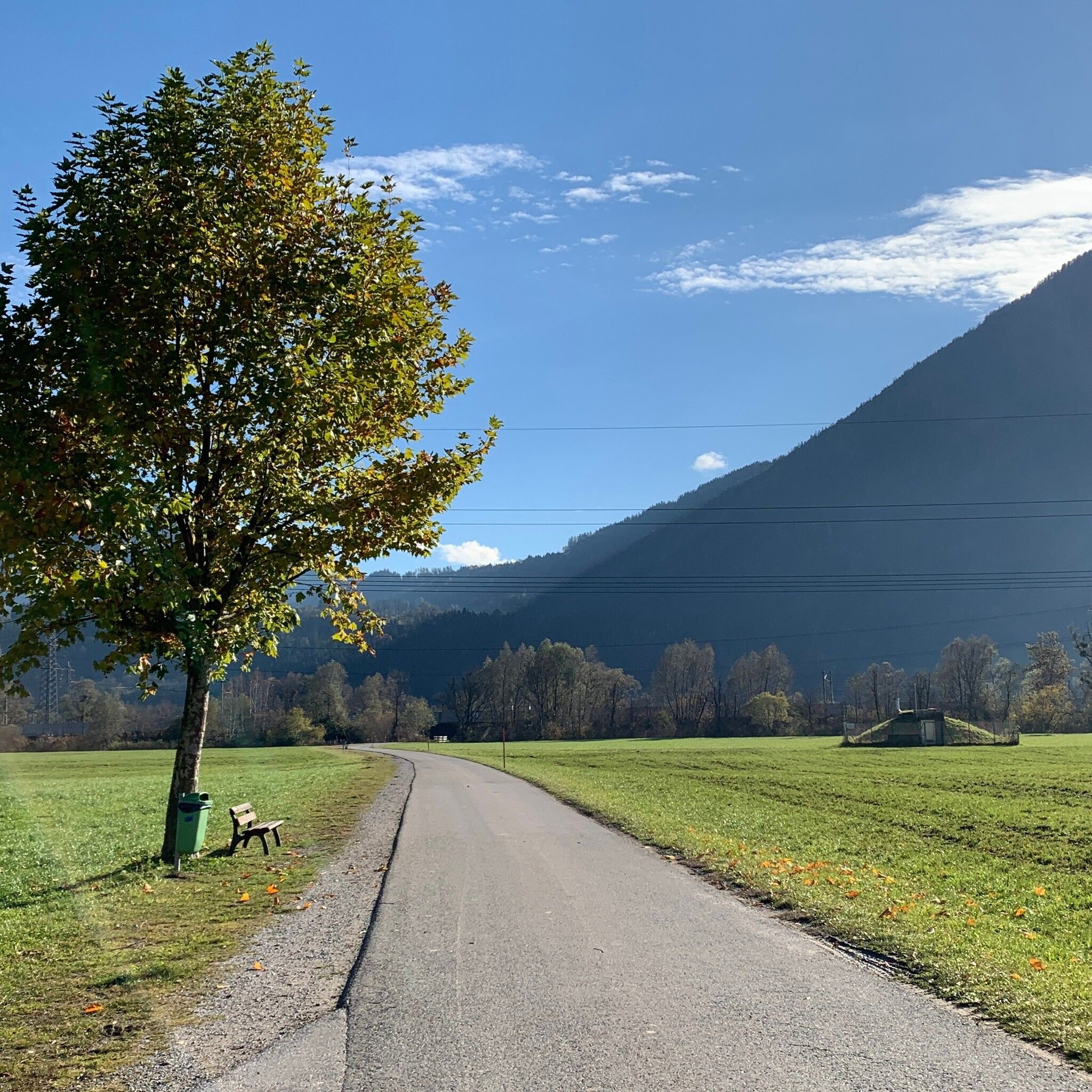
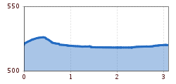
Simple and flat walking route in Münster starting from the REHA Center.

Tour information

  • Requirement: easy
  • Length: 3.1 km
  • Duration: 0:45 h
  • Elevation uphill:10 hm
  • Elevation downhill:10 hm
Highest point528 m

Starting point

REHA Center Münster

Finishing point

REHA Center Münster
  • Fitness level 1 / 6

Features

  • Circular route
  • Suitable for families
  • suitable for pushchairs

Best time of year

  • January
  • February
  • March
  • April
  • May
  • June
  • July
  • August
  • September
  • October
  • November
  • December

Equipment

Comfortable shoes and weather-appropriate clothing

Source: Alpbachtal Tourismus

Description

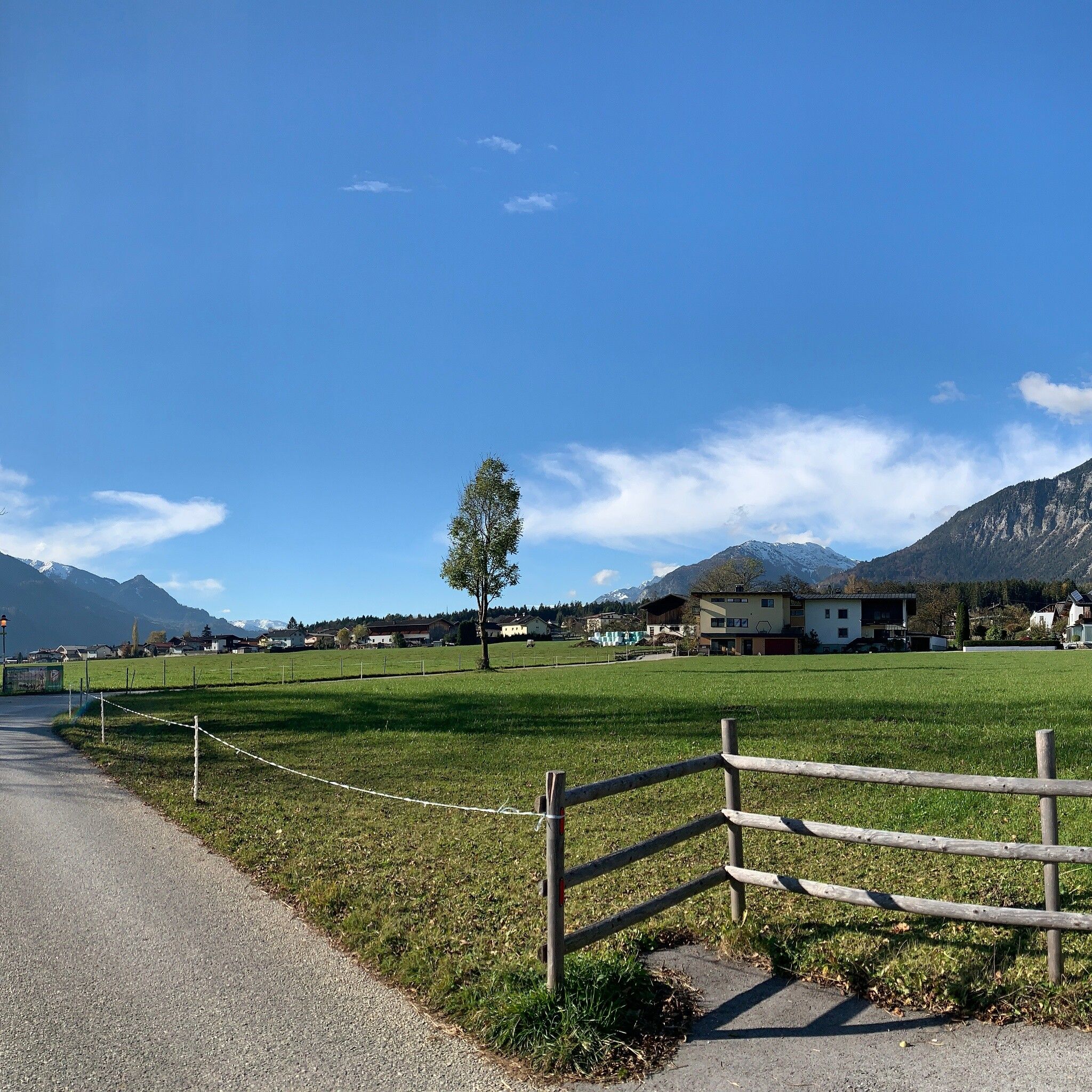
Three easy hikes start directly at the REHA Center Münster, offering a great opportunity for people with limited fitness to get back into training.

GIEßEN ROUTE

The walking route starts at the REHA Center Münster and runs south of Entgasse to a fork in the road. Take the left path and go straight through under the railway. The route can be ended at the second railway underpass. Those with enough stamina continue at the next underpass past the swimming pool and the football field back to the starting point.


Nearby huts and mountain restaurants

Getting here

  • Arrival by public transport

    By bus VVT line 601 - stop Münster Reha Center

  • Parking

    REHA Center Münster

More tours in the surrounding area

  • Barrier-free path Lake Reintal

    Difficulty: easy
    Length: 6.5 km Duration: 1:45 h Elevation uphill: 15 m
  • 3-peak-tour Kienberg-Plessenberg-Heuberg

    Difficulty: medium
    Length: 8.6 km Duration: 4:30 h Elevation uphill: 779 m
  • 4 days - 4 summits tour

    Difficulty: medium
    Length: 54.4 km Duration: 23:00 h Elevation uphill: 3,408 m
  • Voldöpper Spitze Loop Hike

    Difficulty: medium
    Length: 12.9 km Duration: 5:00 h Elevation uphill: 988 m
  • Loop tour Juppi Zauberwald

    Difficulty: easy
    Length: 2.5 km Duration: 1:00 h Elevation uphill: 93 m
  • Kundler Klamm

    Opening hours: closed
    Difficulty: easy
    Length: 6.4 km Duration: 2:00 h Elevation uphill: 116 m
  • Farmkehralm 1.521 m

    Difficulty: medium
    Length: 9.3 km Duration: 3:30 h Elevation uphill: 506 m
  • Day 1: 4 days - 4 summits tour

    Difficulty: medium
    Length: 9.8 km Duration: 5:00 h Elevation uphill: 984 m
  • Day 3: 4 days - 4 summits tour

    Difficulty: medium
    Length: 19.3 km Duration: 8:00 h Elevation uphill: 1,371 m
  • 3-day Family Tour Alpbachtal

    Difficulty: easy
    Length: 18.3 km Duration: 7:00 h Elevation uphill: 998 m
  • Wiedersberger Horn Panorama Path

    Difficulty: easy
    Length: 4.1 km Duration: 1:30 h Elevation uphill: 195 m
  • Discovering the Tiefenbach Gorge Hike

    Opening hours: closed
    Difficulty: medium
    Length: 5.7 km Duration: 3:30 h Elevation uphill: 669 m
  • Kaiser Gorge - loop trail

    Opening hours: closed
    Difficulty: easy
    Length: 4.2 km Duration: 1:00 h Elevation uphill: 198 m
Newsletter

The mountain is calling? So does our newsletter!

In our monthly newsletter we reveal the best holiday tips for Tyrol.