Mountain hikes Glasalm

Kössen / Chiemgau Alps
Difficulty ratings: medium
Route length: 7.5 km
Duration: 2:00 h

Trail Nr. 19

Tour information

  • Requirement: medium
  • Length: 7.5 km
  • Duration: 2:00 h
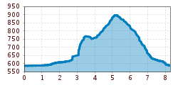
  • Elevation uphill:260 hm
  • Elevation downhill:279 hm
Highest point806 m

Starting point

Staffenbrücke Kössen

Finishing point

Staffenbrücke Kössen
  • Fitness level 3 / 6
  • Technique 2 / 6

Features

  • Circular route

Best time of year

  • January
  • February
  • March
  • April
  • May
  • June
  • July
  • August
  • September
  • October
  • November
  • December

Trail condition

Asphalt, Gravel

Equipment

Breathable outdoor clothing suitable for the weather, sturdy footwear, food (snacks, drinks),
sun protection (sunglasses, sun cream & cap), rain protection, cash; guest card if using the bus
Source: TVB Kaiserwinkl

Description

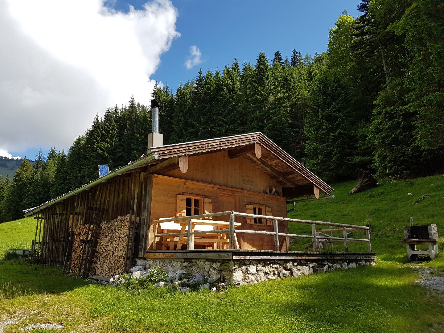
Start in Kössen at the Steinbauer parking lot near the Staffen Bridge, follow the Achendamm through the underpass, and turn right past the Anna Chapel toward the Außerkapelle district or the federal highway to Walchsee. About 300 m past the Hotel Alpina, turn right toward Landhaus Dax. Hike through forest and alpine pastureland to the Glassalm, then back down to the trail leading to the Edernalm, which is open to the public. Return via the forest road to the Staffen district and back to the parking lot.

Nearby huts and mountain restaurants

Getting here

  • Arrival by public transport

    Take bus to the stop 'VZ Kaiserwinkl'.

  • Parking

    At the Steinbauer parking lot (shortest walking route) or in front of the information office in Kössen

Weather

Today

light rain showers
27°C/15°C
75%12l5 km/h

Wed

light rain showers
27°C/16°C
70%5.4l5 km/h

Thu

mainly clear
28°C/15°C
50%2.7l5 km/h
Go to weather forecast

More tours in the surrounding area

Newsletter

The mountain is calling? So does our newsletter!

In our monthly newsletter we reveal the best holiday tips for Tyrol.