Mountain hikes Gratlspitze from Alpbach with Holzalm and Bischofer cheese alm

Alpbach / Kitzbüheler Alpen
Difficulty ratings: medium
Route length: 14.3 km
Duration: 5:30 h

Scenic route with summit victory and magnificent all-around panorama

Tour information

  • Requirement: medium
  • Length: 14.3 km
  • Duration: 5:30 h
  • Elevation uphill:1,052 hm
  • Elevation downhill:1,083 hm
Highest point1,877 m

Starting point

Alpbach

Finishing point

Alpbach
  • Fitness level 4 / 6

Best time of year

  • January
  • February
  • March
  • April
  • May
  • June
  • July
  • August
  • September
  • October
  • November
  • December

Equipment

Surefootedness required   

good footwear, sun and rain protection, Mayr hiking map XL

Source: Alpbachtal

Description

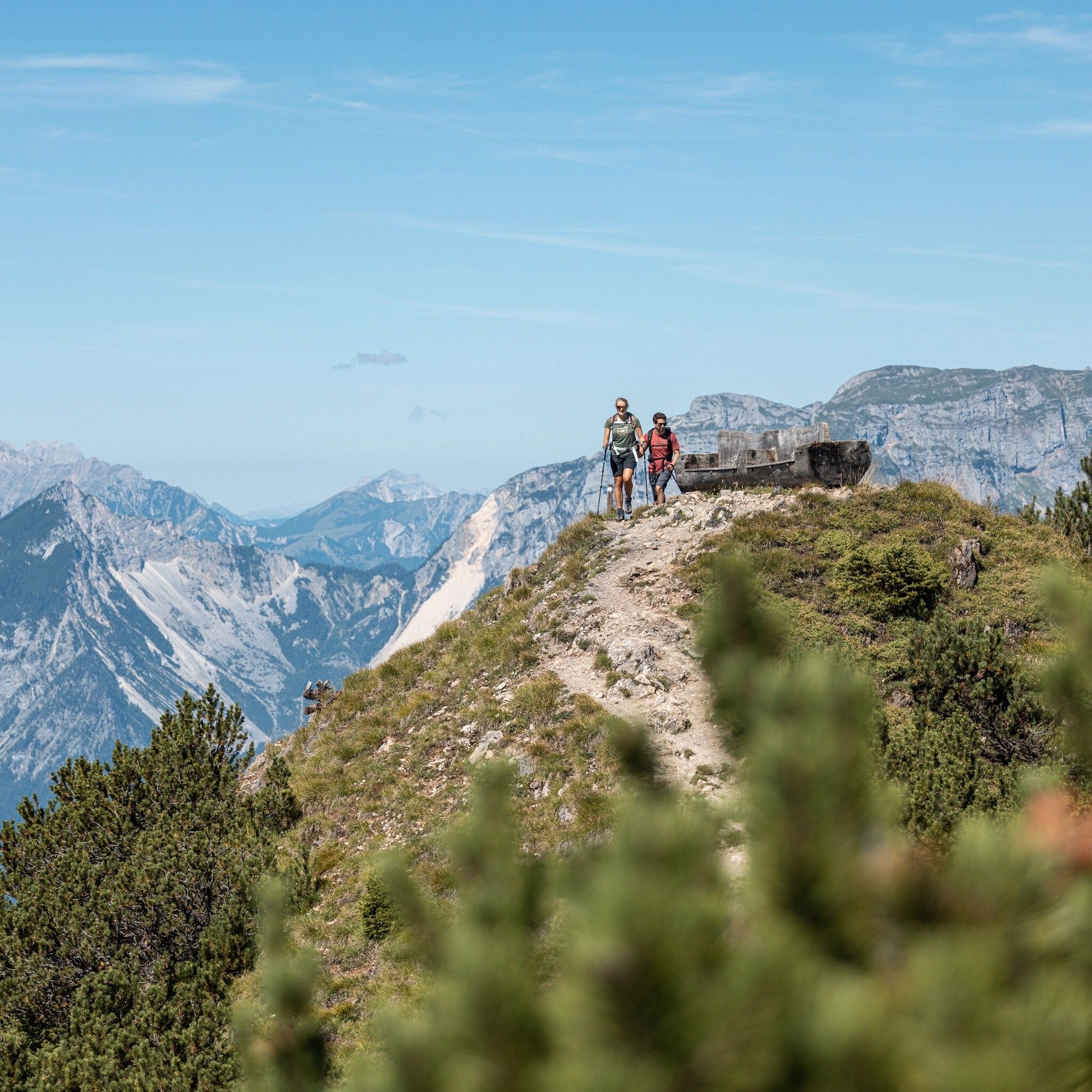
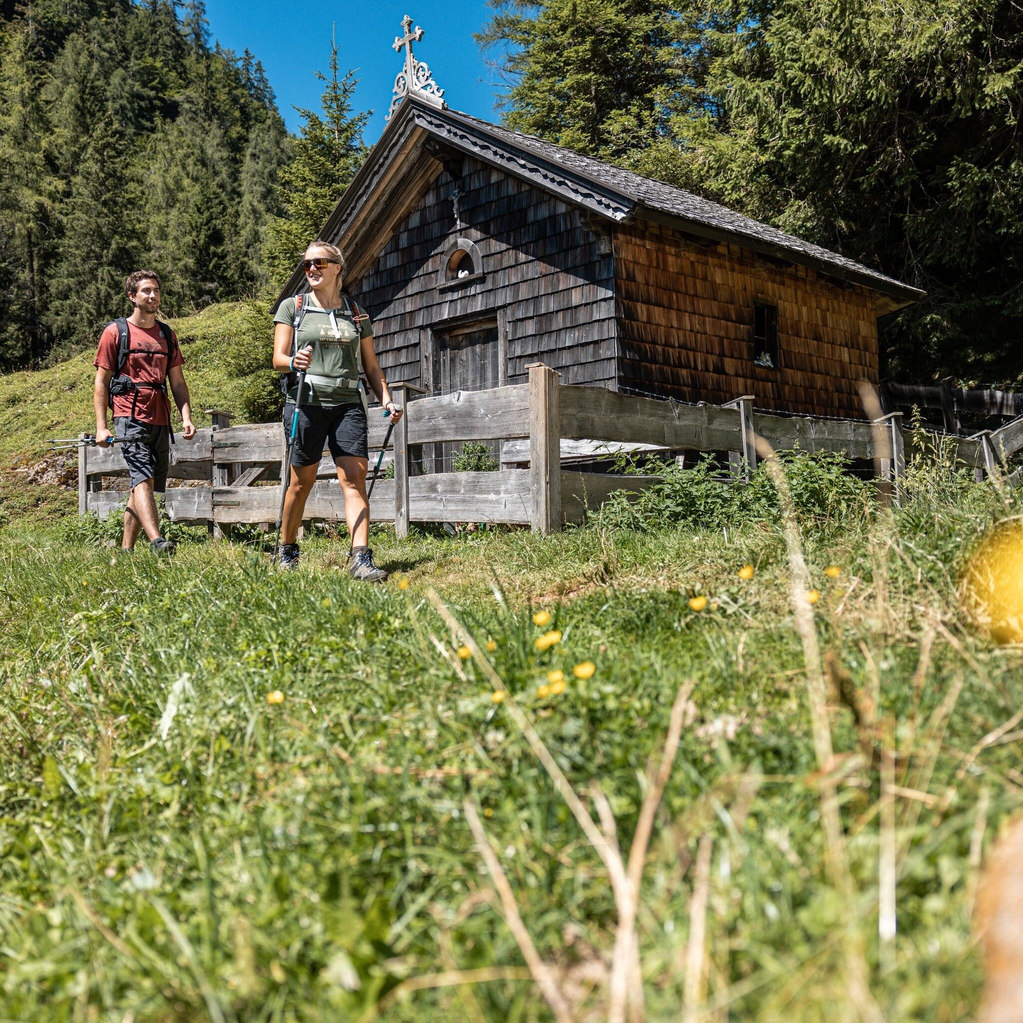
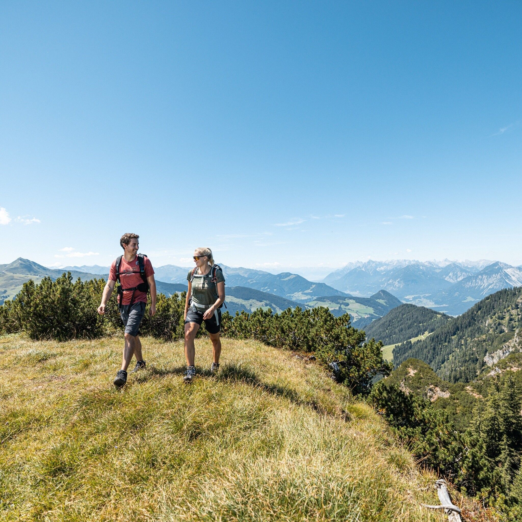
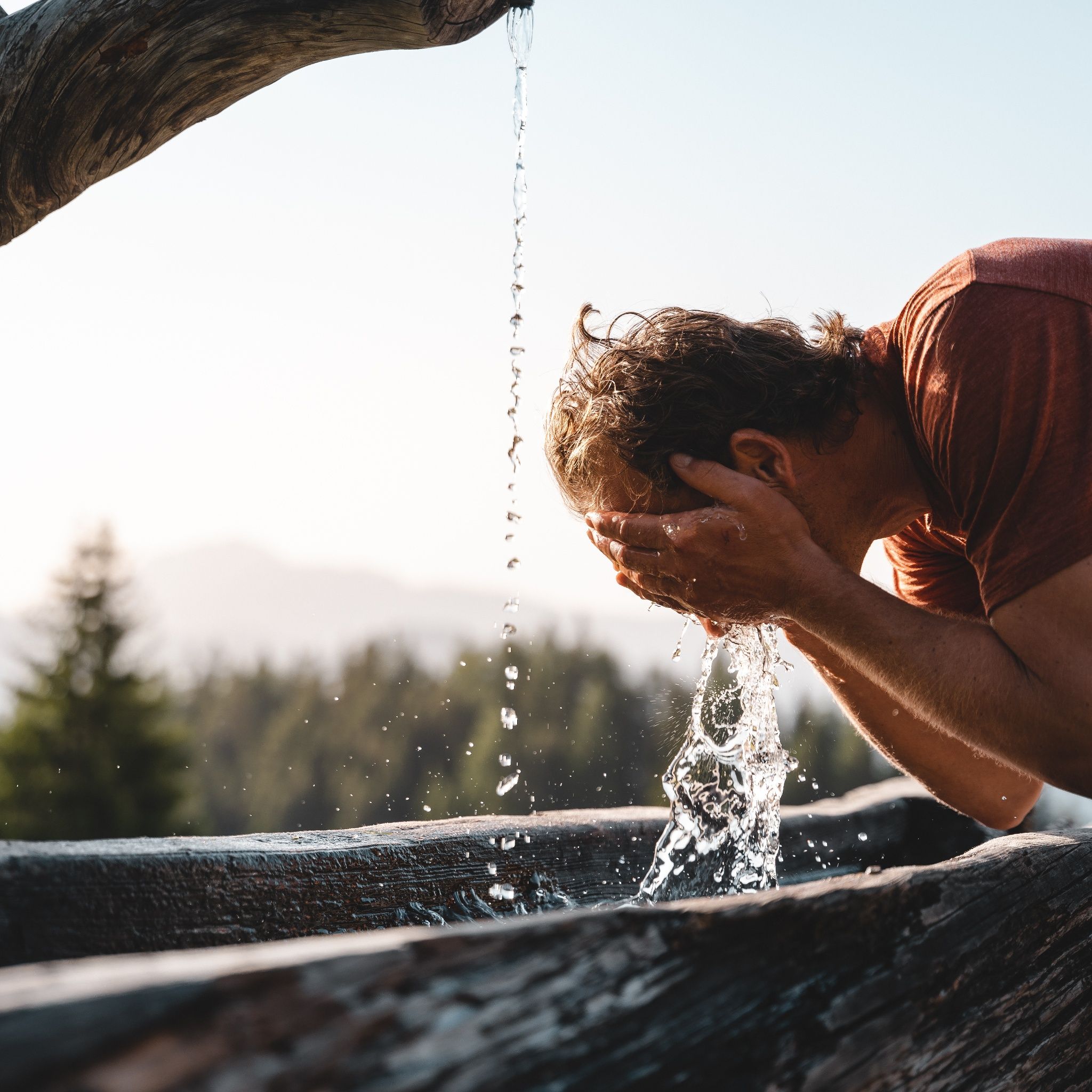
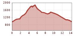
The hike starts in the village center of Alpbach and follows the Alpbach homeland trail A3 and then A23 to the Hösljoch with the Hösl chapel. From there, the ascent A27 begins towards Gratlspitze.

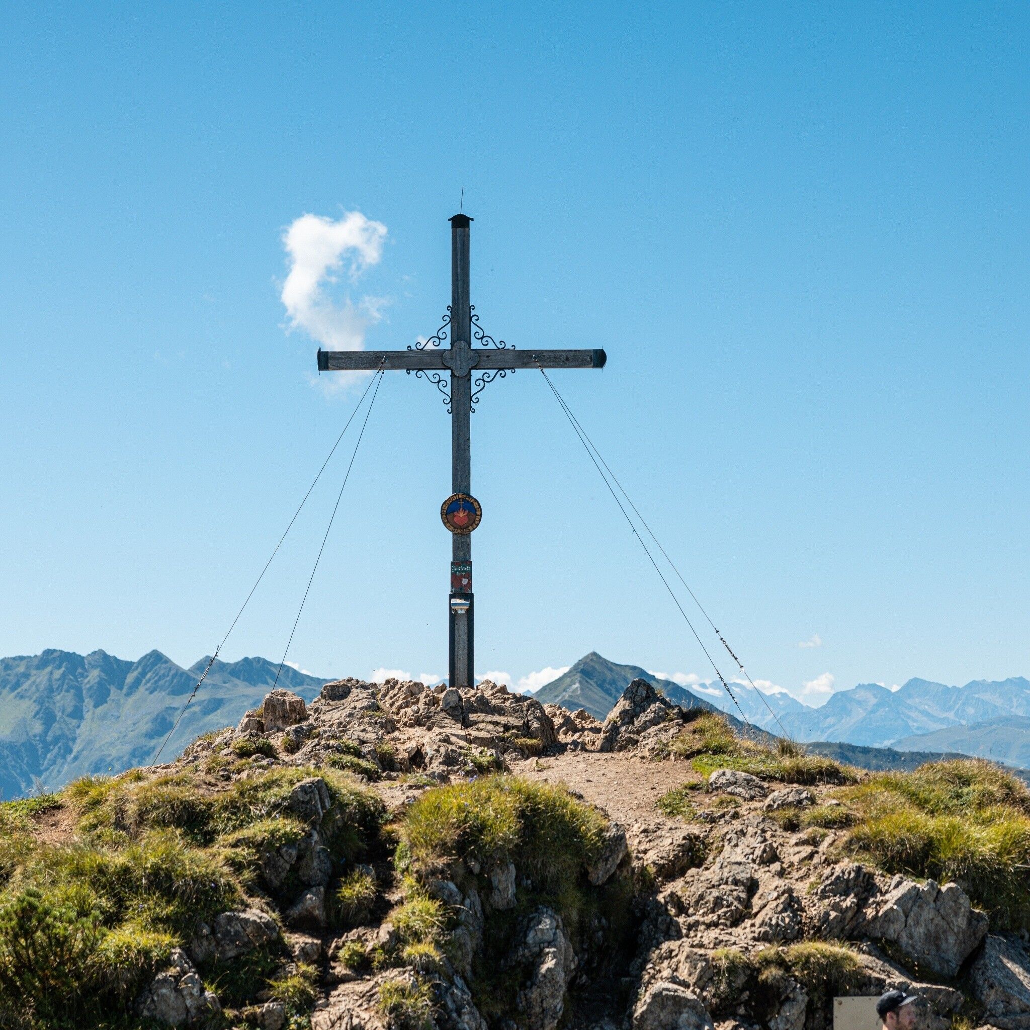
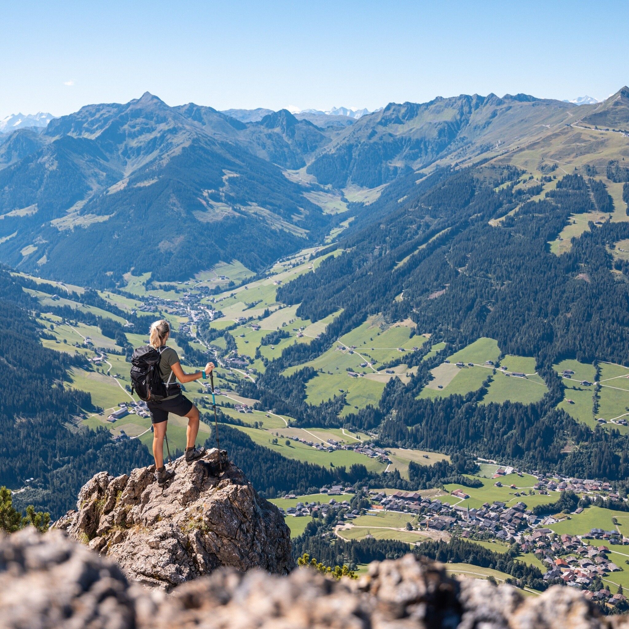
At the summit of Gratlspitze at 1899 m above sea level, you can enjoy a wonderful panoramic view. The view extends from Wilder Kaiser, the Kitzbühel Alps, Zillertal and Tuxertal Alps to the Rofan and Karwendel ranges. It hardly gets more beautiful than this. You should spend some time at the summit cross or on the huge viewing bench and recharge your energy.

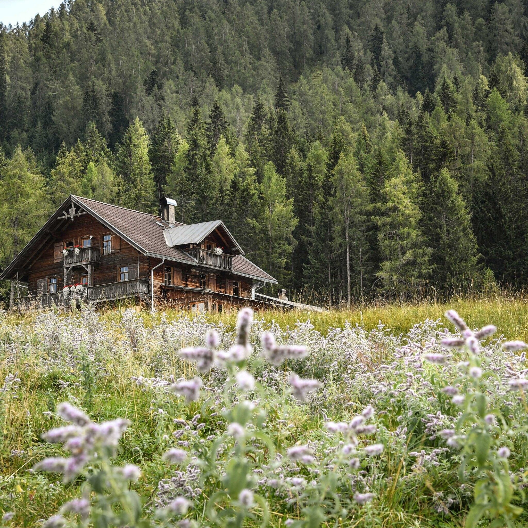
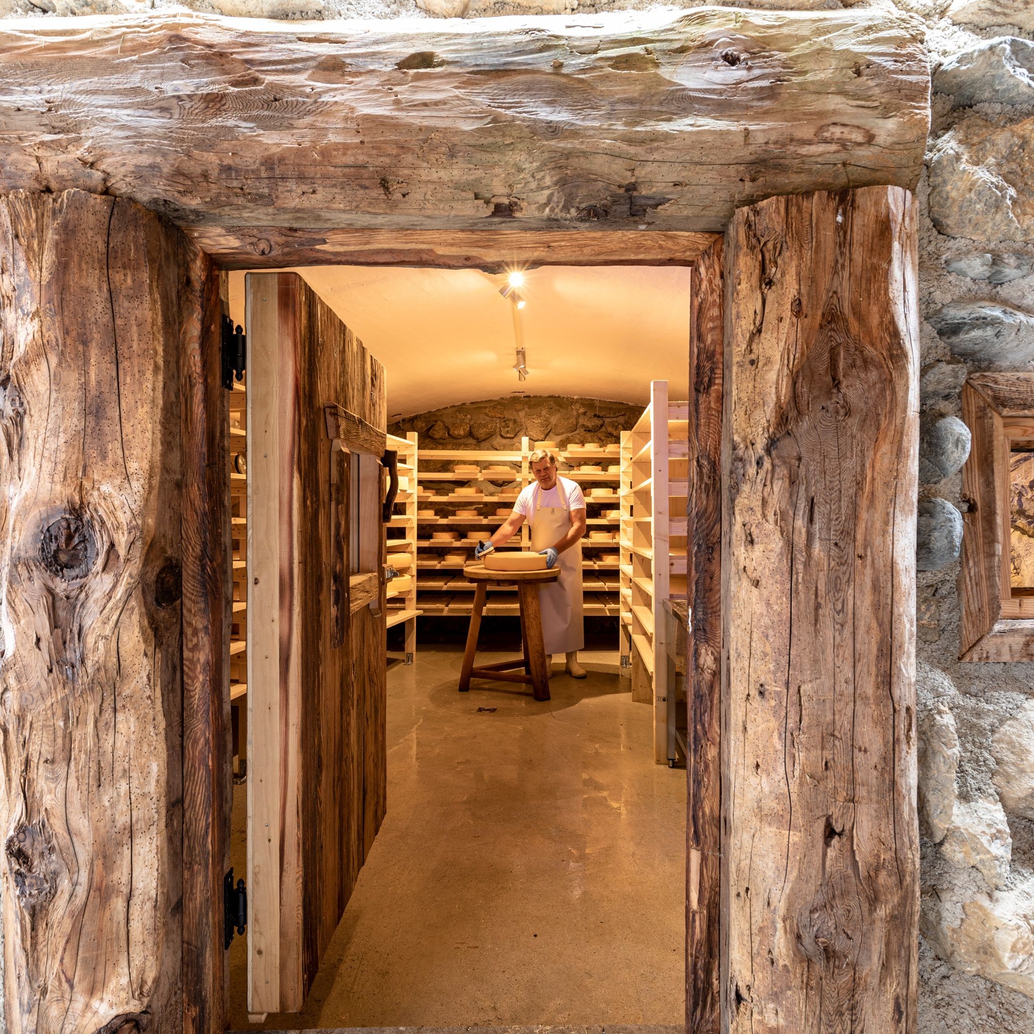
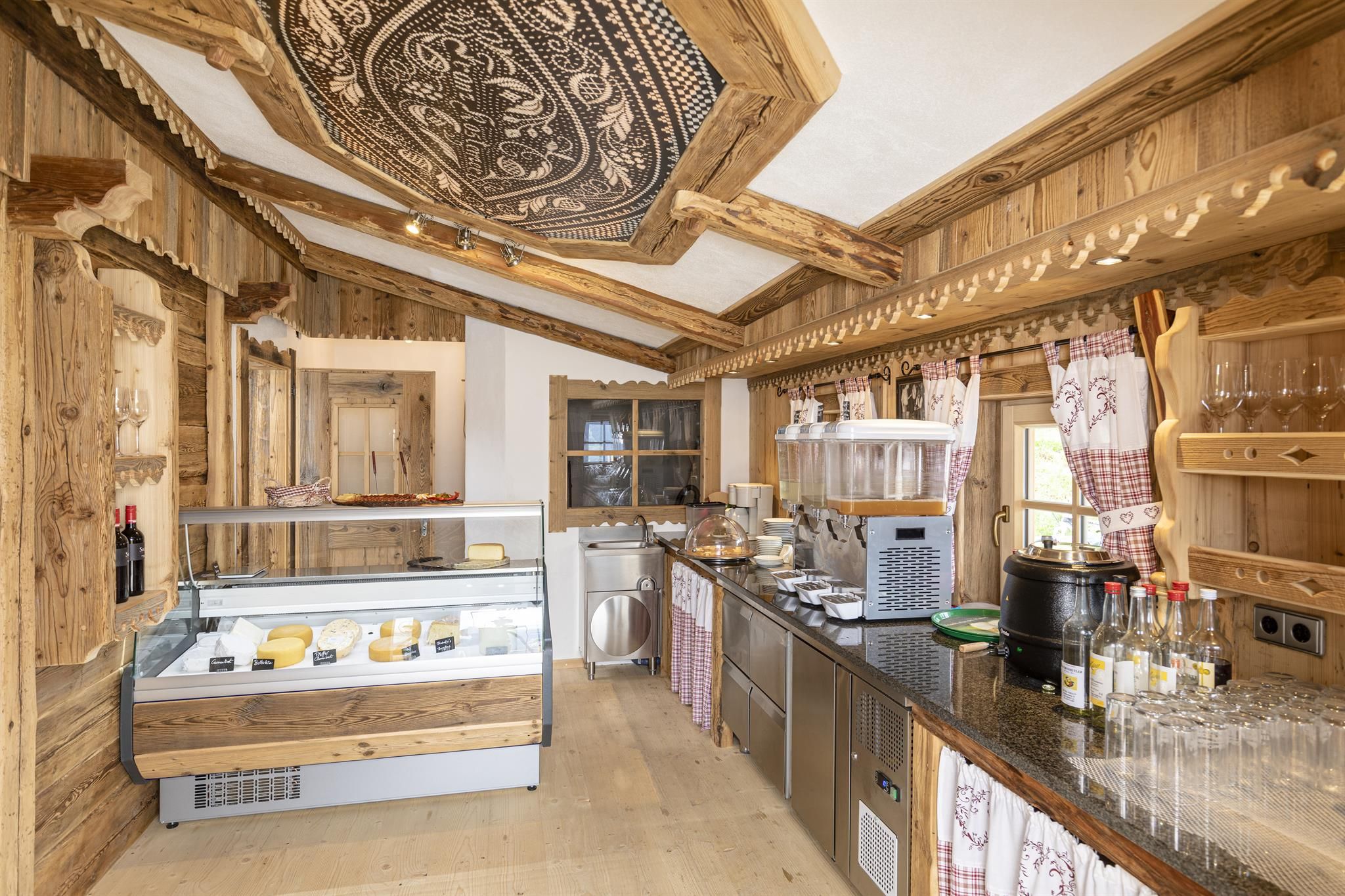
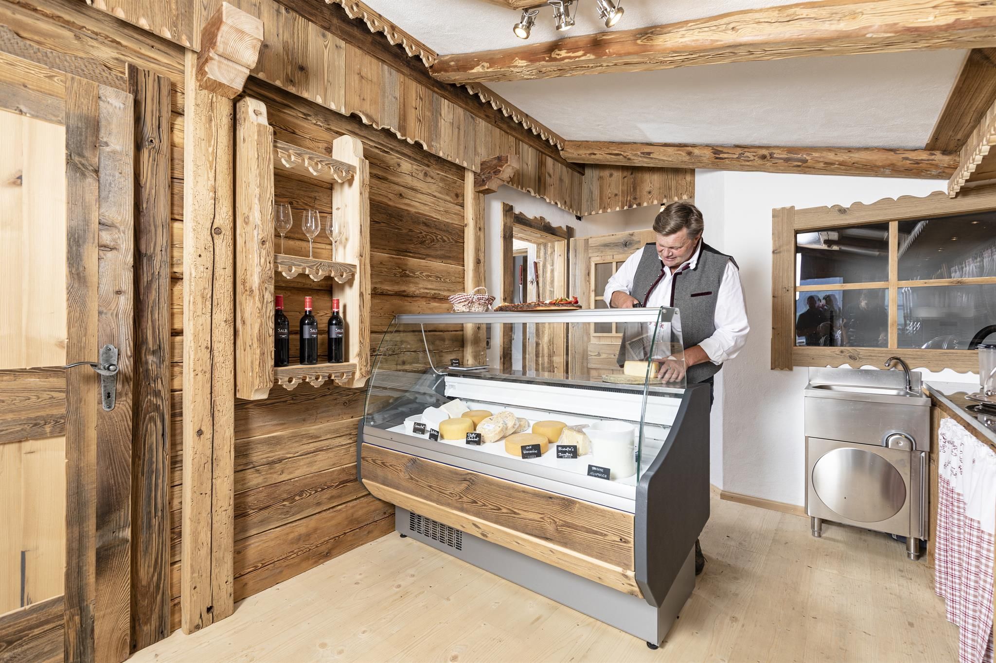
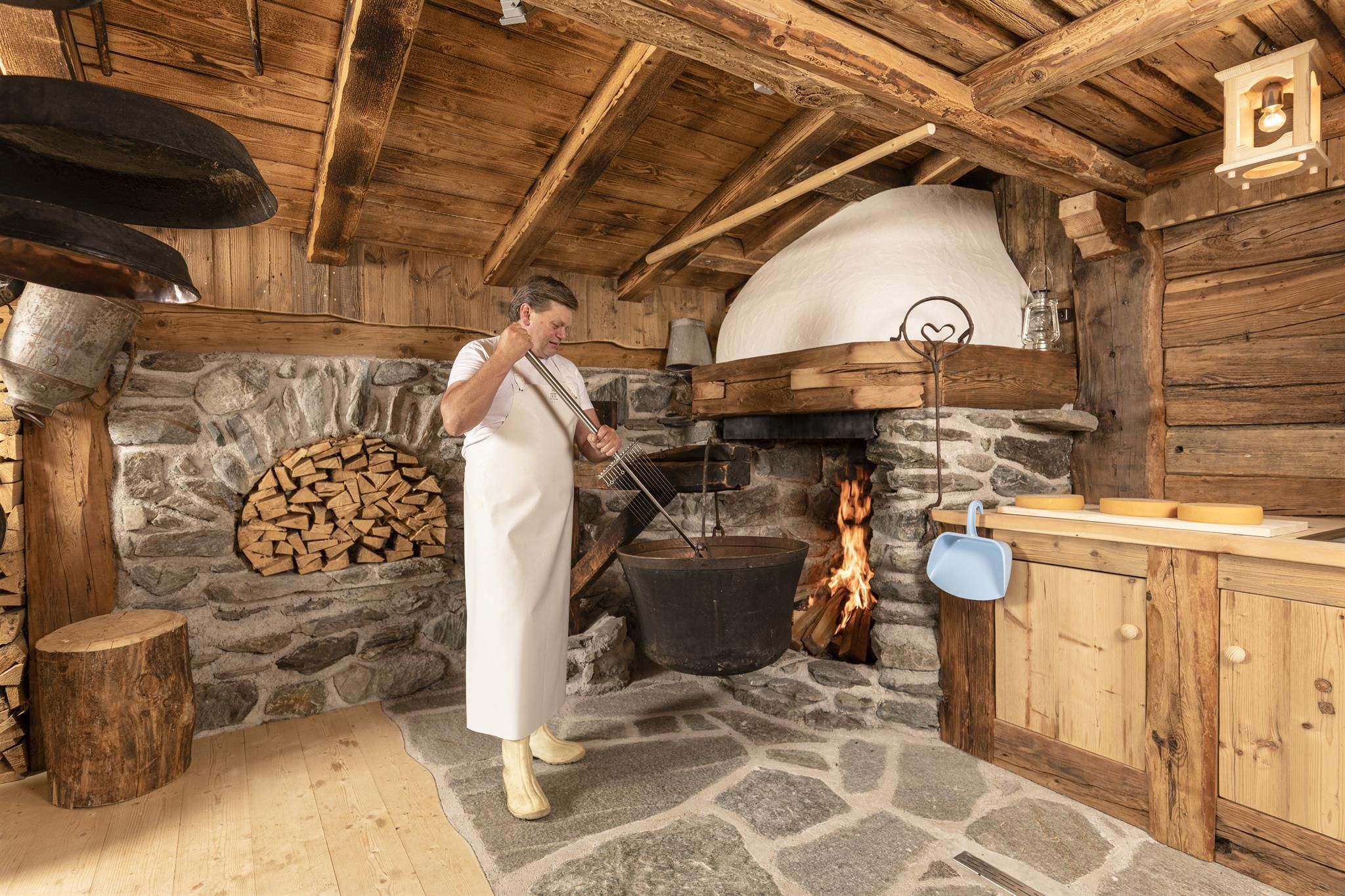
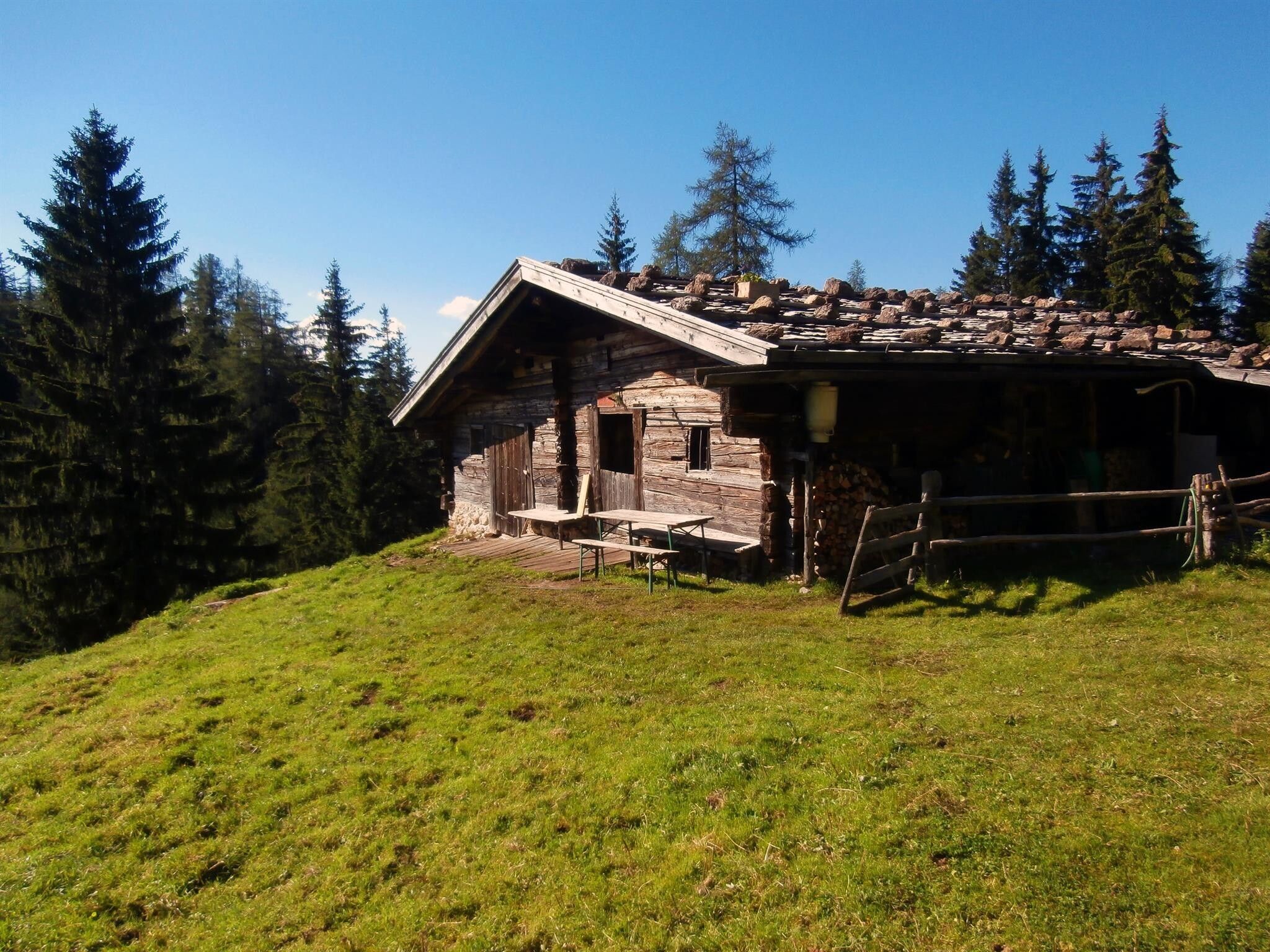
The descent from Gratlspitze via hiking trail no. 10 leads directly to the rustic mountain inn Holzalm. Tip: The healthy mountain air makes probably the best schnitzel on the mountain taste even better. Boosted, the hike continues on trail A18 over the Außerhauseralm towards Bischoferalm or the Bischofer cheese alm. Tip: Definitely try the products from the own cheese dairy! With cheese in your backpack, continue from here on trail A6 downhill again to the village center of Alpbach.

Note: pure walking time 5 h 30 min


Nearby huts and mountain restaurants

Getting here

  • Arrival by public transport

    Bus: www.vvt.at / line 620

  • Parking

    Opposite the Weiherhof apartment house with the "Café Genuss" is a parking lot

More tours in the surrounding area

  • 3-peak-tour Kienberg-Plessenberg-Heuberg

    Difficulty: medium
    Length: 8.6 km Duration: 4:30 h Elevation uphill: 779 m
  • Day 1: 4 days - 4 summits tour

    Difficulty: medium
    Length: 9.8 km Duration: 5:00 h Elevation uphill: 984 m
  • Day 3: 4 days - 4 summits tour

    Difficulty: medium
    Length: 19.3 km Duration: 8:00 h Elevation uphill: 1,371 m
  • 4 days - 4 summits tour

    Difficulty: medium
    Length: 54.4 km Duration: 23:00 h Elevation uphill: 3,408 m
  • 3-day Family Tour Alpbachtal

    Difficulty: easy
    Length: 18.3 km Duration: 7:00 h Elevation uphill: 998 m
  • Kaiser Gorge - loop trail

    Opening hours: closed
    Difficulty: easy
    Length: 4.2 km Duration: 1:00 h Elevation uphill: 198 m
  • Voldöpper Spitze Loop Hike

    Difficulty: medium
    Length: 12.9 km Duration: 5:00 h Elevation uphill: 988 m
  • Loop tour Juppi Zauberwald

    Difficulty: easy
    Length: 2.5 km Duration: 1:00 h Elevation uphill: 93 m
  • Farmkehralm 1.521 m

    Difficulty: medium
    Length: 9.3 km Duration: 3:30 h Elevation uphill: 506 m
  • Wiedersberger Horn Panorama Path

    Difficulty: easy
    Length: 4.1 km Duration: 1:30 h Elevation uphill: 195 m
  • Barrier-free path Lake Reintal

    Difficulty: easy
    Length: 6.5 km Duration: 1:45 h Elevation uphill: 15 m
  • Discovering the Tiefenbach Gorge Hike

    Opening hours: closed
    Difficulty: medium
    Length: 5.7 km Duration: 3:30 h Elevation uphill: 669 m
  • Kundler Klamm

    Opening hours: closed
    Difficulty: easy
    Length: 6.4 km Duration: 2:00 h Elevation uphill: 116 m
Newsletter

The mountain is calling? So does our newsletter!

In our monthly newsletter we reveal the best holiday tips for Tyrol.