Mountain hikes Habersauertal - Raineralm - Lippenalm

Kössen / Kaiser Mountains
Difficulty ratings: medium
Route length: 11.2 km
Duration: 3:30 h

Trail Nr.: 87, 52

Tour information

  • Requirement: medium
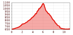
  • Length: 11.2 km
  • Duration: 3:30 h
  • Elevation uphill:450 hm
  • Elevation downhill:450 hm
Highest point1,096 m

Starting point

Parking lot Ostufer Walchsee

Finishing point

Parking lot Ostufer Walchsee
  • Fitness level 3 / 6
  • Technique 2 / 6

Features

  • Circular route
  • Suitable for families

Best time of year

  • January
  • February
  • March
  • April
  • May
  • June
  • July
  • August
  • September
  • October
  • November
  • December

Trail condition

gravel, path

Equipment

Breathable outdoor clothing suitable for the weather, sturdy footwear, food (snacks, drinks),
sun protection (sunglasses, sun cream & cap), rain protection, cash; guest card if using the bus
Source: TVB Kaiserwinkl

Description

Start at the Ostufer parking lot in Walchsee.

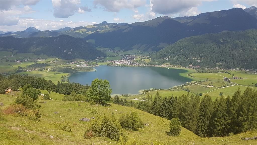
From the parking lot, head back to the wooden bridge and turn right until you reach the crossroads; then turn left and immediately right again, following the Weißenbach stream to the Raineralm (open for business). Just before the Raineralm (be careful—it’s not signposted!), turn left past the Schwarzenbachalm (unmanned). Descend to the Lippenalm (unmanned), which offers a beautiful panoramic view, and from there return to the starting point.

Getting here

  • Arrival by public transport

    Take the bus to the stop Seehotel Brunner

  • Parking

    East shore parking lot at Walchsee

Weather

Today

light rain showers
27°C/16°C
65%6.6l5 km/h

Sat

light rain showers
24°C/13°C
75%7.3l5 km/h

Sun

light rain showers
20°C/11°C
80%8.8l5 km/h
Go to weather forecast

More tours in the surrounding area

Newsletter

The mountain is calling? So does our newsletter!

In our monthly newsletter we reveal the best holiday tips for Tyrol.