Mountain hikes Heiterwang - Geissteig - Almkopf

Heiterwang / Lechtal Alps
Difficulty ratings: medium
Route length: 13.2 km
Duration: 6:15 h

Rewarding hike with wonderful panoramic views
Tour information

  • Requirement: medium
  • Length: 13.2 km
  • Duration: 6:15 h
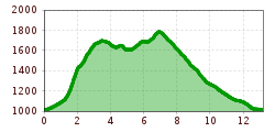
  • Elevation uphill:911 hm
  • Elevation downhill:903 hm
Highest point1,796 m

Starting point

Train station Heiterwang

Finishing point

Train station Heiterwang
  • Fitness level 5 / 6
  • Technique 4 / 6

Features

  • Circular route

Best time of year

  • January
  • February
  • March
  • April
  • May
  • June
  • July
  • August
  • September
  • October
  • November
  • December

Trail condition

Fire road, hiking trail, natural ground, gravel, meadow

Equipment

Appropriate clothing, sturdy shoes, rain protection, sun protection, hiking poles, sufficient water. No climbing equipment required.
Source: Tiroler Zugspitz Arena

Description

A forest path leads above the station to the start of the Geissteig after a 10-minute walk. After another 10 minute there is a fork (Schneeplatz/Geissteig). Follow the yellow signs for Geissteig towards the Heiterwanger
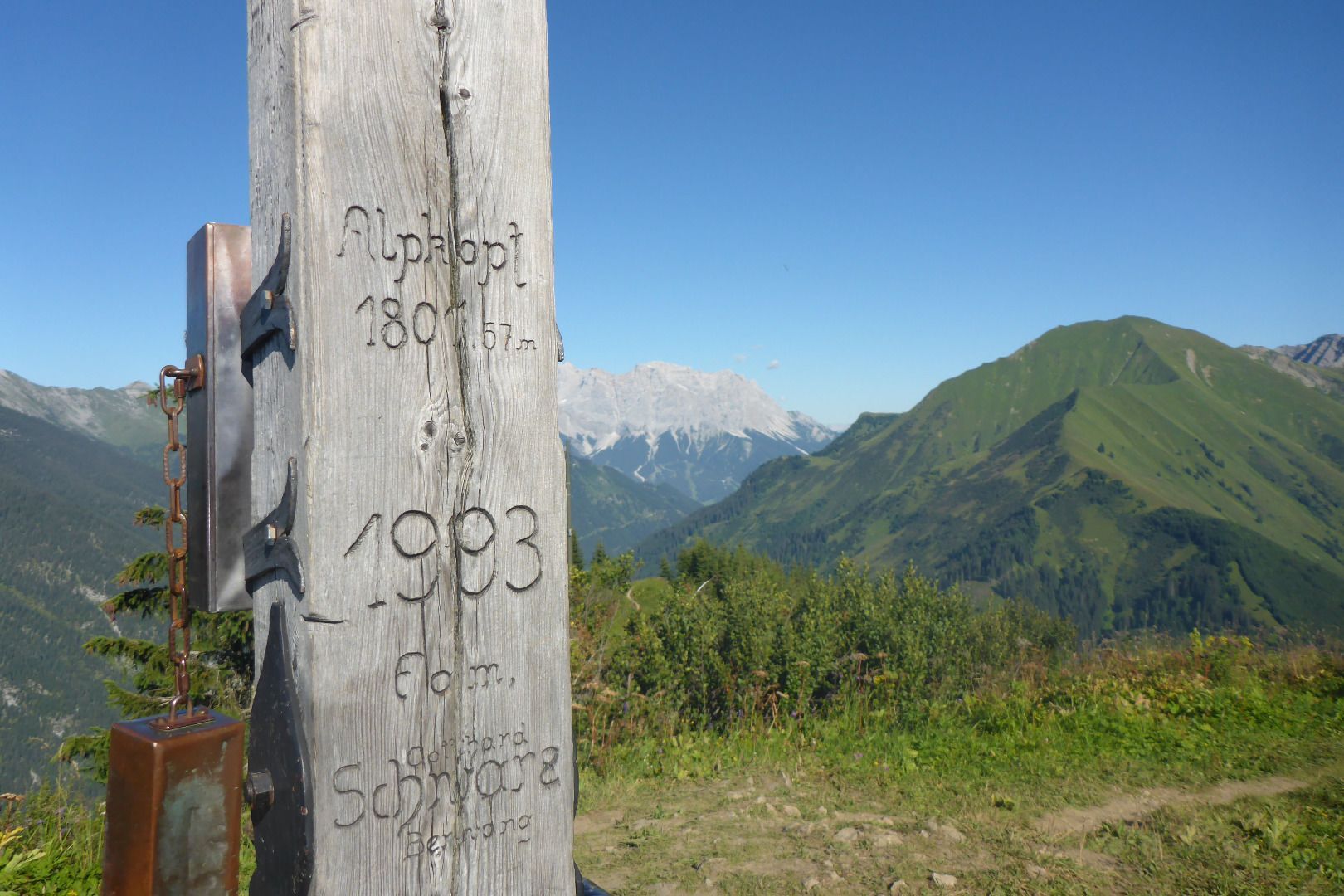
Hochalm. A well-developed trail leads up to the Almkopf. The descent leads over the ski slope, approx. 15 minutes after the Heiterwanger Hochalm a path branches off towards the Alptal, a path then continues leading towards the starting point.

IMPORTANT NOTES:
●   Stay on the marked hiking trails
●   Keep your distance from grazing animals
●   Be aware of the mountain hut opening hours
●   Alpine emergency call: 140

Nearby huts and mountain restaurants

Getting here

  • Parking

    In and around Heiterwang you'll find numerous parking facilities

Weather

Today

mainly clear
28°C/12°C
65%5.4l10 km/h

Tue

light rain showers
25°C/15°C
70%10.4l5 km/h

Wed

light rain showers
25°C/14°C
65%6.8l5 km/h
Go to weather forecast

More tours in the surrounding area

Newsletter

The mountain is calling? So does our newsletter!

In our monthly newsletter we reveal the best holiday tips for Tyrol.