

Opening hours:Open today
Place:Seefeld
:Alpine pasture / hut / mountain restaurant
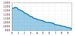
Easy hike from Seefeld via the Römerweg and Hirnweg to Scharnitz.
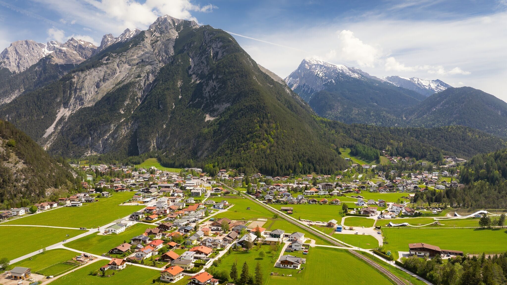
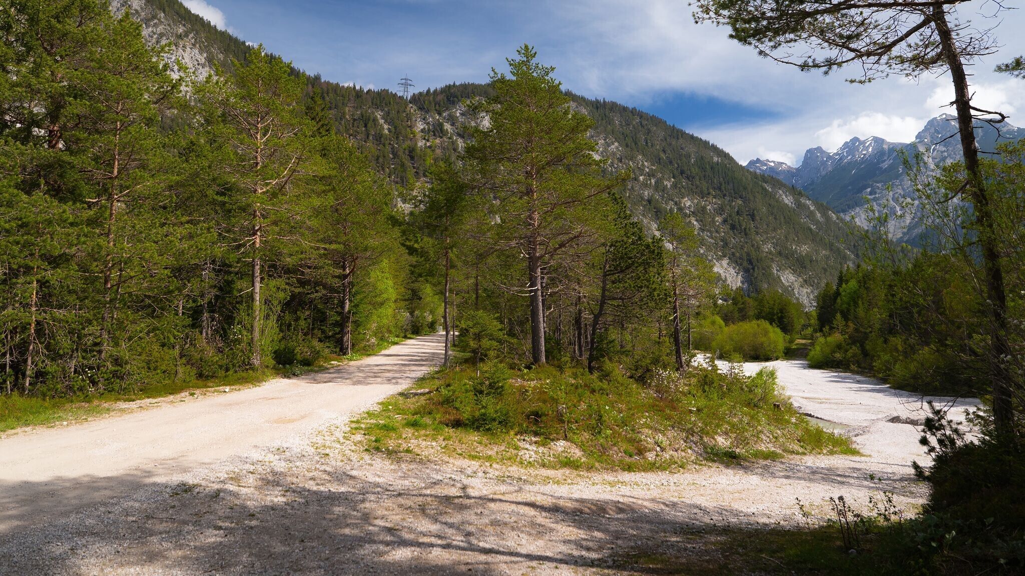
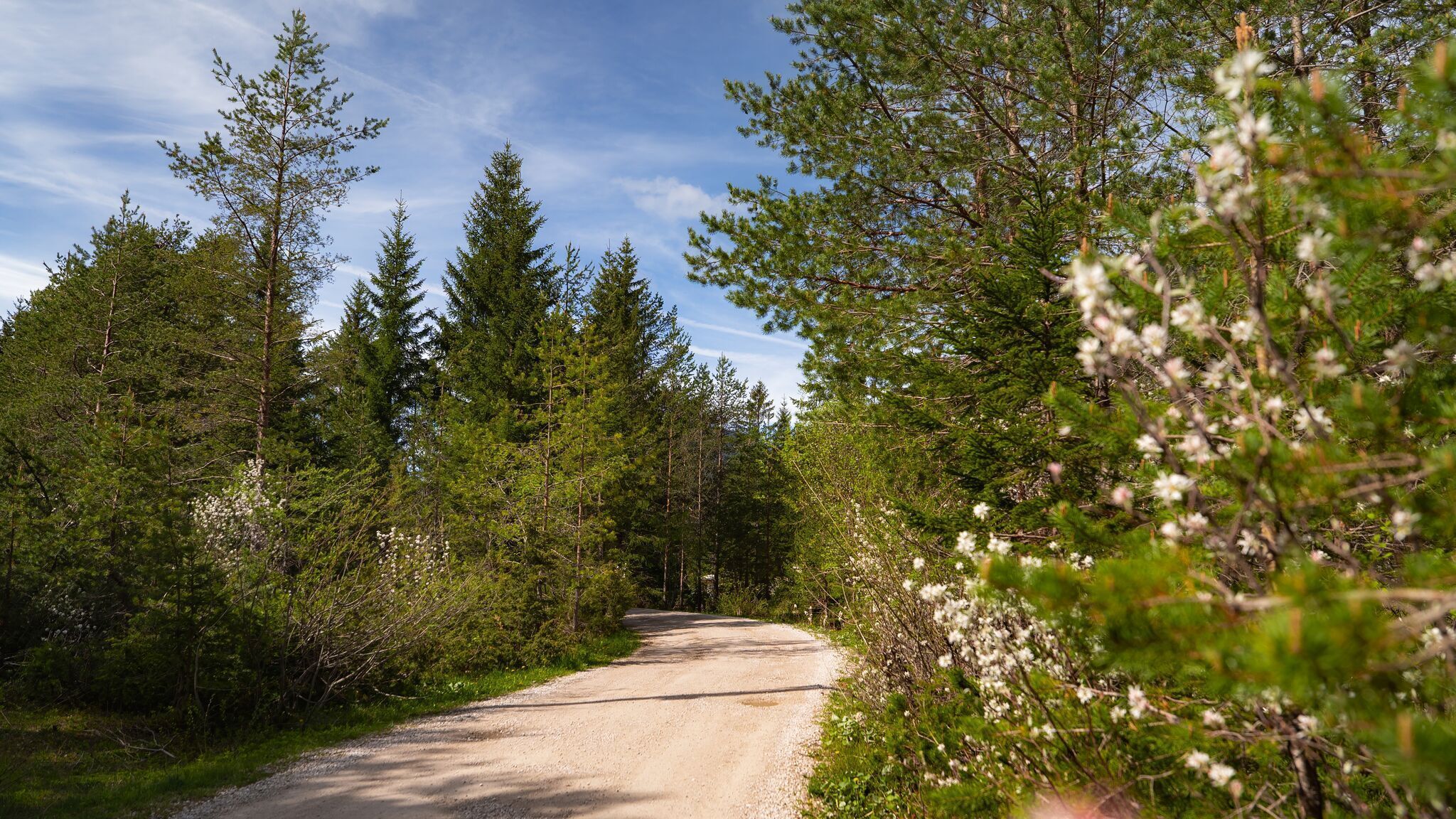
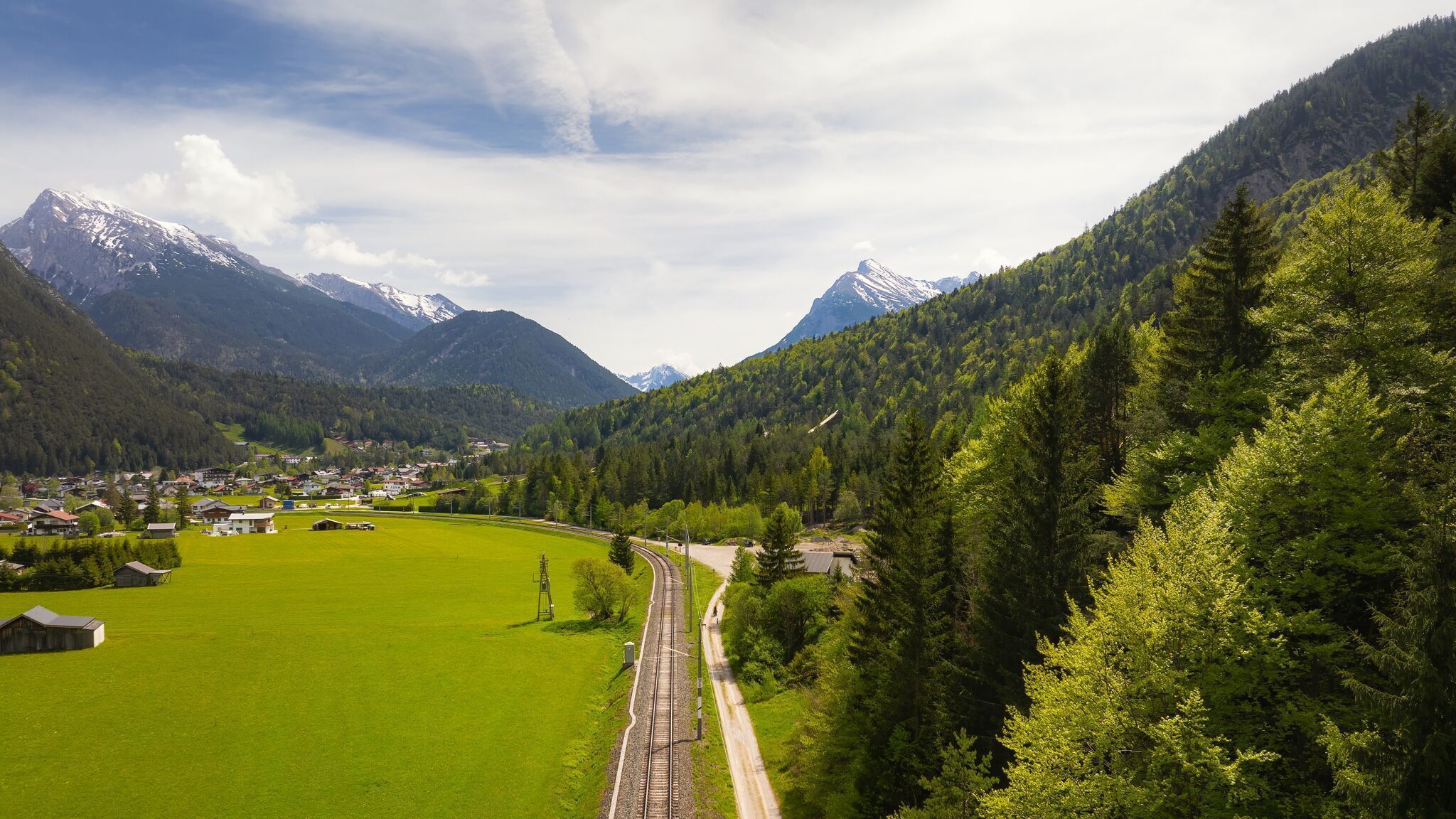
Forest path, gravel path, and road
Find all the latest information about trail closures in the Seefeld region here.
Have you found a spot that needs maintenance or repair? Fill out the 'Report a hazard' form and let us know where work is needed in the region.
On the Römerweg, which joins the Hirnweg at Schlossberg, leave Seefeld in a northerly direction. At the end of the Hirnweg turn right over the bridge. Immediately after the bridge begins a trail that leads next to the railroad past the Mühlberg to Scharnitz. By train (departures once an hour) back to the starting point.
Take public transport to Seefeld Railway Station and walk 10 minutes to the starting point, the valley station of the Rosshütte mountain lifts.
All real-time connections can be found in the route planner.
Parking of the mountain railways Rosshütte with an electric charging station - Seefeld.
You can find all other car parks in Seefeld here.


