Mountain hikes Hike to the Mandarfner Summit

St. Leonhard im Pitztal / Ötztaler Alpen
Difficulty ratings: medium
Route length: 3.5 km
Duration: 2:30 h

Hike to the Mandarfner Summit

Tour information

  • Requirement: medium
  • Length: 3.5 km
  • Duration: 2:30 h
  • Elevation uphill:450 hm
  • Elevation downhill:450 hm
Highest point2,127 m

Starting point

Bus stop Mandarfen Rifflseebahn

Finishing point

Bus stop Mandarfen Rifflseebahn

Best time of year

  • January
  • February
  • March
  • April
  • May
  • June
  • July
  • August
  • September
  • October
  • November
  • December

Trail condition

Short section of the route on asphalt and meadow paths, mostly on trails
Source: Pitztal

Description

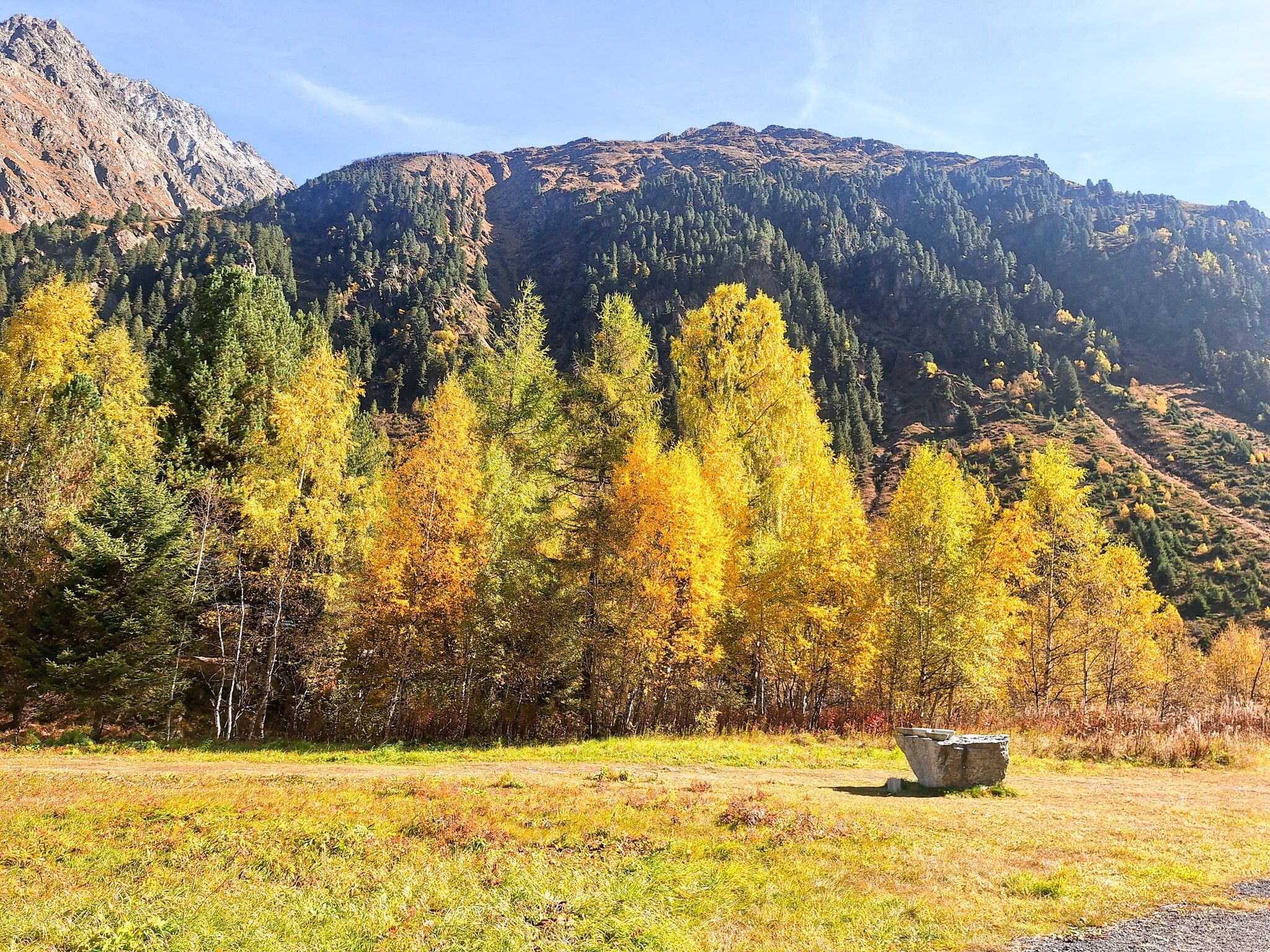
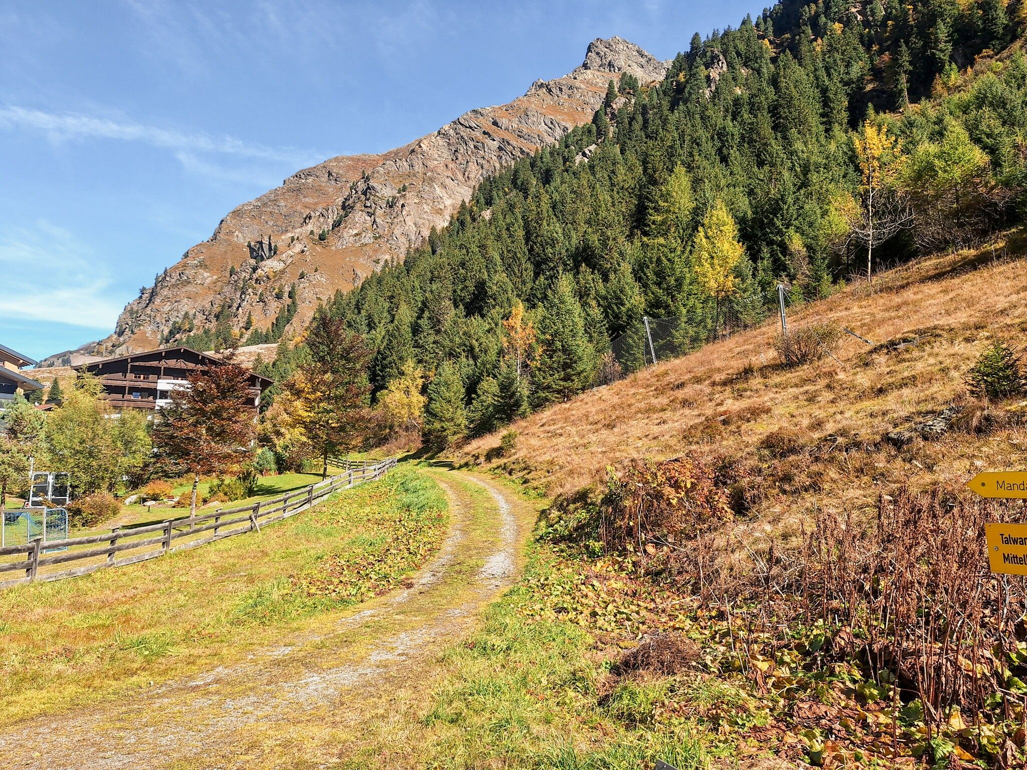
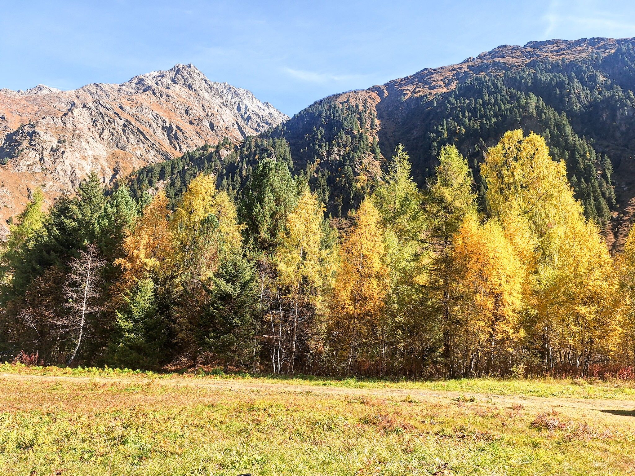
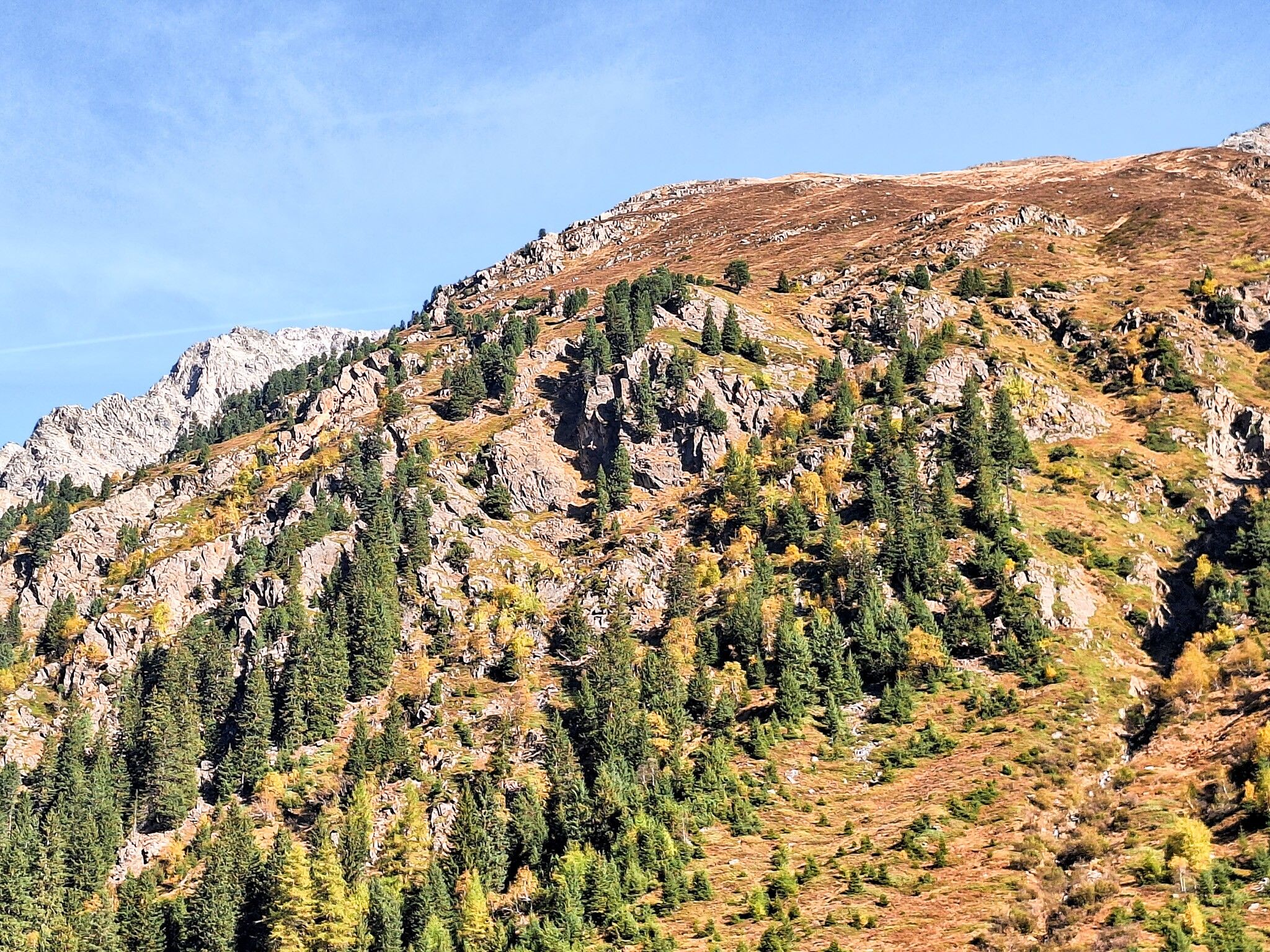
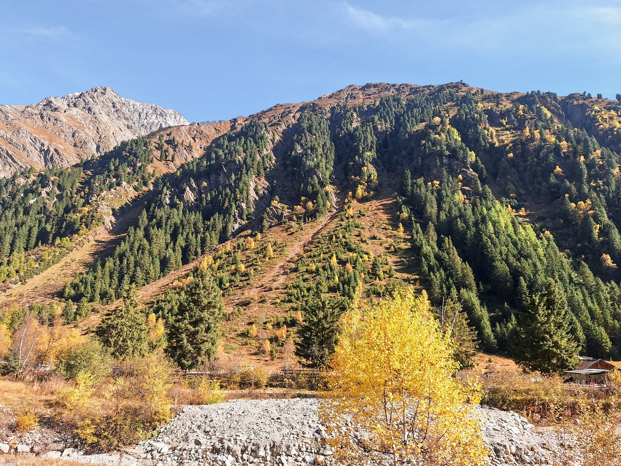
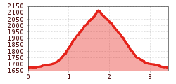
Starting from Mandarfen, you initially walk south on the main road before turning off onto a dirt track at the Hotel Wildspitze. From there, you walk behind the Hotel Wildspitze towards the practice lift. From there, you will reach a trail that winds its way up to an altitude of approx. 2,120 meters to the Mandarfner Kreuz. There you will have a wonderful view of Mandarfen and the surrounding mountains. Return via the same trail to Mandarfen.

Getting here

  • Arrival by public transport

    Take the bus to the Mandarfen Rifflseebahn bus stop.

  • Parking

    Parking is available at the Rifflseebahn parking lot.

More tours in the surrounding area

Newsletter

The mountain is calling? So does our newsletter!

In our monthly newsletter we reveal the best holiday tips for Tyrol.