
Opening hours:Open today
Place:Sölden
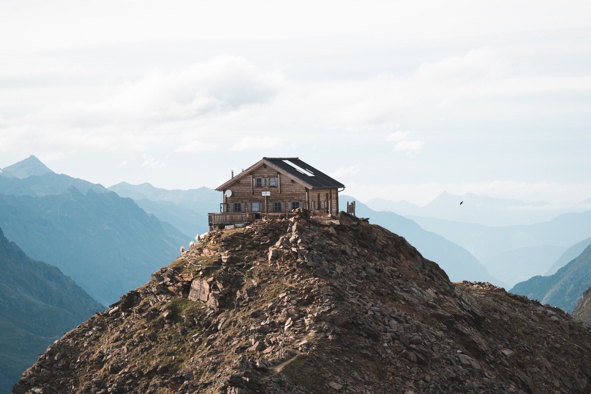
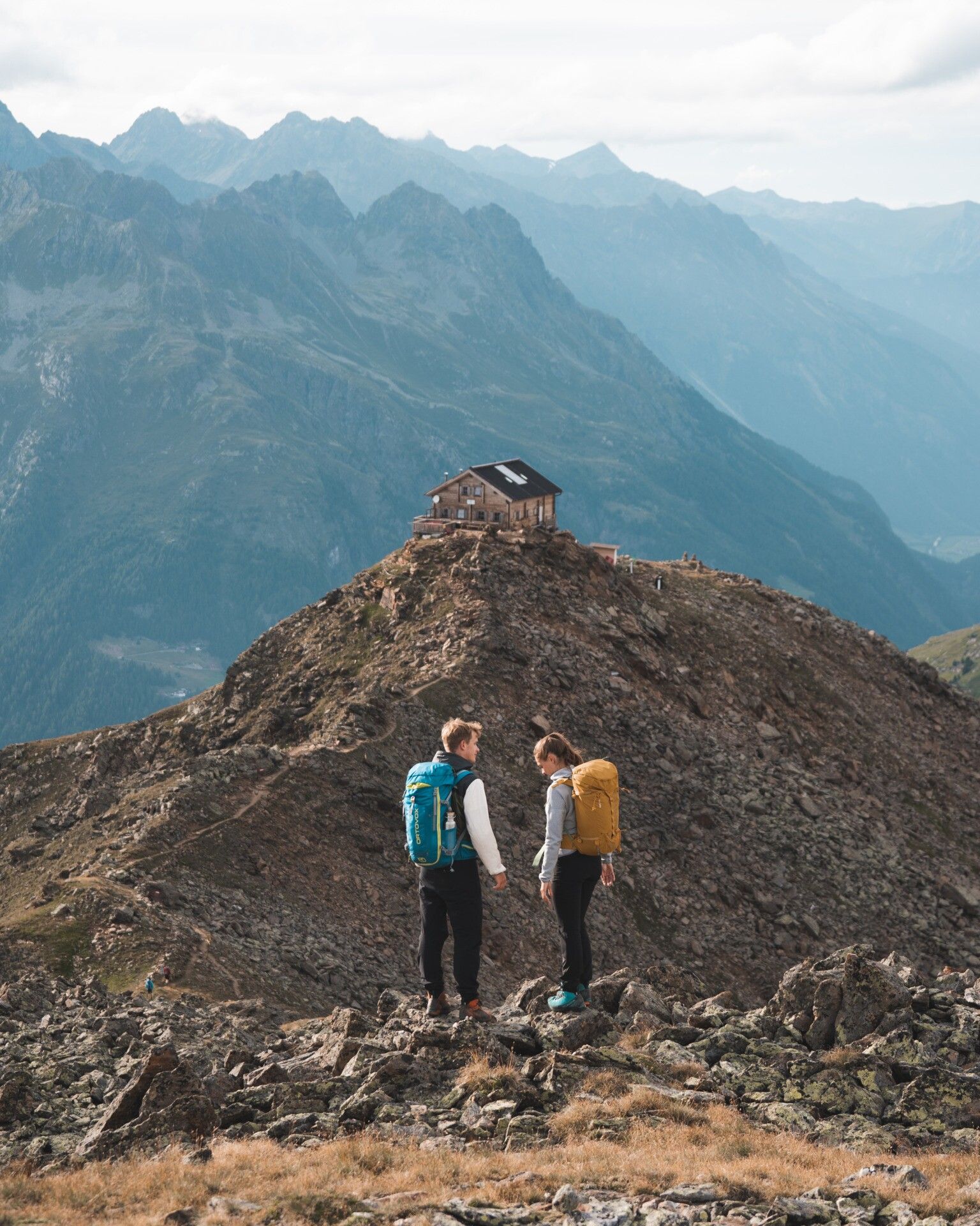
:Alpine pasture / hut / mountain restaurant
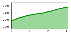
Hiking route: Brunnenbergalm - Brunnenkogelhaus
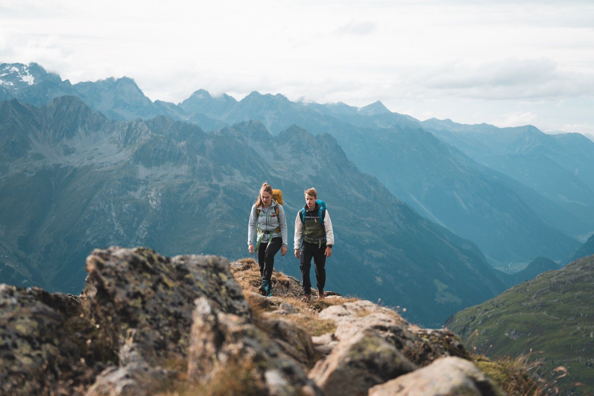
Red mountain paths are moderately difficult:
The corresponding signs have a yellow background and display a red circle as the difficulty rating.
Moderately difficult mountain path; suitable for sure-footed and experienced hikers; good physical condition required.
Appropriate equipment such as breathable and weather-adapted outdoor clothing, ankle-high hiking boots, wind, rain, and sun protection, a hat and possibly gloves are recommended!
From the Brunnenbergalm, follow the steep hiking path - above the tree line, you walk along the switchbacks up to the Brunnenkogelhaus.
Travel comfortably and safely by train to the Ötztal station. The final stop or exit point is the ÖTZTAL train station. Afterwards, you can travel conveniently and quickly with public bus services or local taxi companies through the entire valley to your desired destination! The current bus schedule is available at: http://fahrplan.vvt.at
Parking lots:* Giggijochbahn* Post parking lot* Freizeit Arena* GaislachkoglbahnParking in Sölden is subject to a fee.


.jpg")
.JPG")


.jpg")

.jpg")


