Mountain hikes Hiking tour to Kräuterwirtshaus Strumerhof 1.451m

Matrei in Osttirol / Venedigergruppe
Difficulty ratings: easy
Route length: 12.2 km
Duration: 4:30 h

Hiking tour to Kräuterwirtshaus Strumerhof 1.451m

Tour information

  • Requirement: easy
  • Length: 12.2 km
  • Duration: 4:30 h
  • Elevation uphill:510 hm
  • Elevation downhill:505 hm
Highest point1,450 m

Starting point

Park possibility Prossegg bridge

Finishing point

Kräuterwirtshaus Strumerhof
  • Fitness level 3 / 6
  • Technique 2 / 6

Best time of year

  • January
  • February
  • March
  • April
  • May
  • June
  • July
  • August
  • September
  • October
  • November
  • December
Source: TVB Osttirol

Description

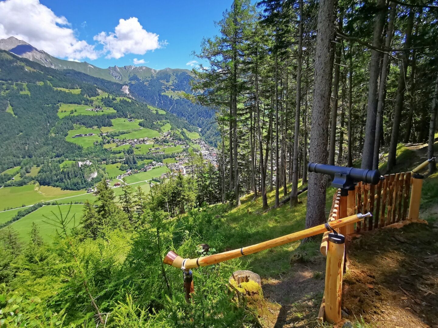
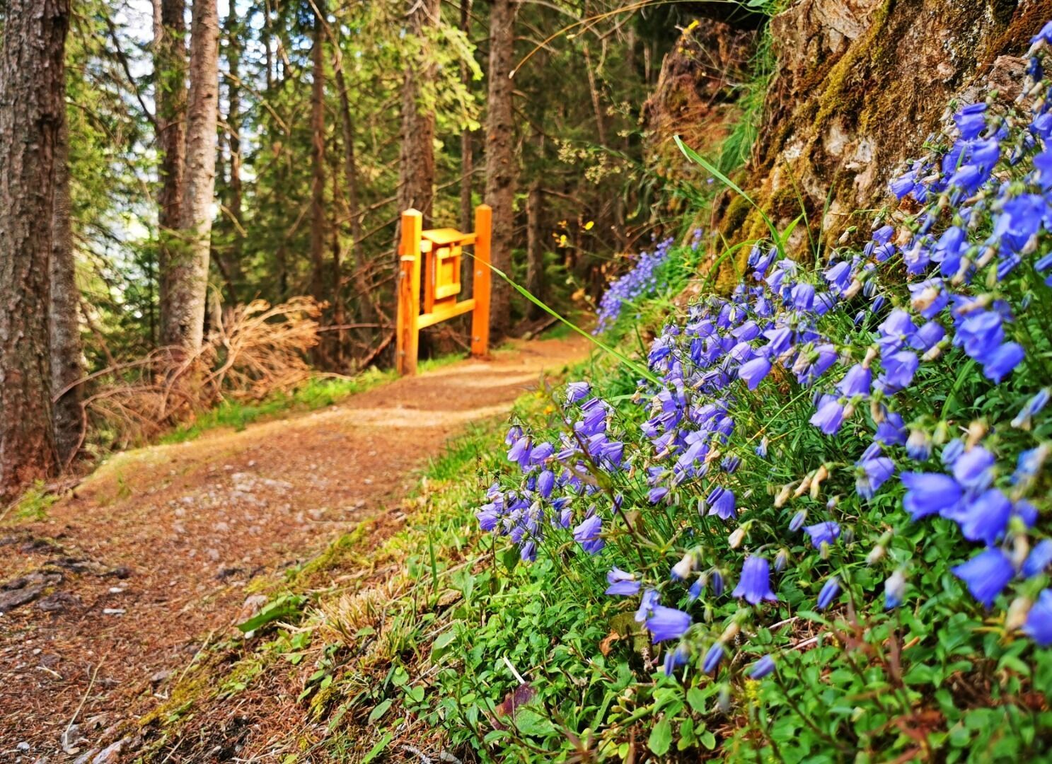
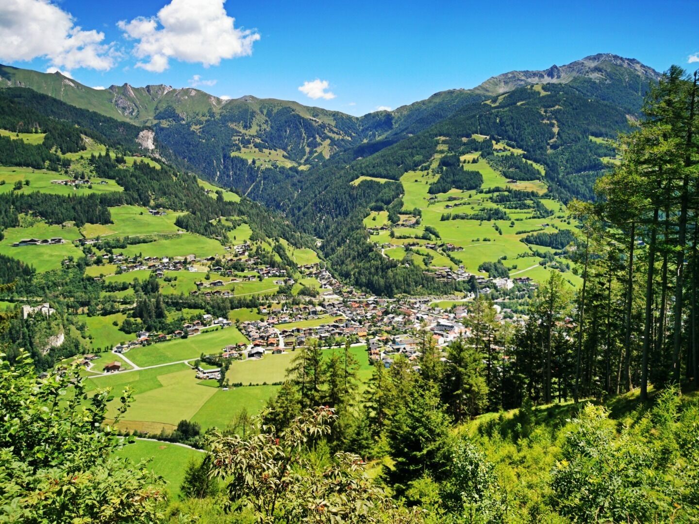
Start at the central carpark and walk towards Prossegg. This is where a comfortable to walk path through the woods starts. Follow this romantic path until you get to a driveway. 50 metres from this driveway you will find the Kräuterwirtshaus and will be rewarded with a fantastic view onto nearly all of Matrei.

Getting here

  • Arrival by public transport

    Matrei in Osttirol Korberplatz

  • Parking

    Park possibility Prossegg bridge

More tours in the surrounding area

  • Böses Weibl

    Difficulty: difficult
    Length: 14.1 km Duration: 8:00 h Elevation uphill: 1,193 m
  • Badener Hütte

    Difficulty: difficult
    Length: 23.2 km Duration: 11:30 h Elevation uphill: 1,750 m
  • Umbal waterfalls nature force trail

    Difficulty: easy
    Length: 5.8 km Duration: 2:30 h Elevation uphill: 250 m
  • Lasörling 3.098m

    Difficulty: difficult
    Length: 21.9 km Duration: 12:00 h Elevation uphill: 1,940 m
  • Hike to Neuen Reichenberger Hütte

    Difficulty: medium
    Length: 9.1 km Duration: 9:00 h Elevation uphill: 1,210 m
  • Hiking tour to Lasörlinghütte 2.350m

    Difficulty: medium
    Length: 14.6 km Duration: 7:10 h Elevation uphill: 1,080 m
  • Lucknerhaus - Stüdlhütte

    Difficulty: medium
    Length: 9.3 km Duration: 5:30 h Elevation uphill: 862 m
  • Hike to Kalser Tauernhaus

    Difficulty: medium
    Length: 12.2 km Duration: 4:00 h Elevation uphill: 244 m
  • Hiking tour to Neue Sajathütte 2.600m

    Difficulty: medium
    Length: 10.3 km Duration: 6:50 h Elevation uphill: 1,080 m
  • Lasörling altitude trail

    Difficulty: medium
    Length: 57.0 km Duration: 25:00 h Elevation uphill: 3,740 m
  • Venediger altitude trail

    Difficulty: difficult
    Length: 55.5 km Duration: 27:00 h Elevation uphill: 3,915 m
  • Figerhorn

    Difficulty: difficult
    Length: 6.5 km Duration: 6:00 h Elevation uphill: 807 m
  • Muhs panorama trail

    Difficulty: medium
    Length: 15.2 km Duration: 6:00 h Elevation uphill: 1,090 m
  • Rotenkogel

    Difficulty: difficult
    Length: 3.9 km Duration: 3:00 h Elevation uphill: 383 m
  • Themed path Zedlacher Paradies

    Difficulty: easy
    Length: 4.3 km Duration: 2:30 h Elevation uphill: 130 m
  • Eagle Walk Stage O1: Ströden - Johannis Hütte

    Difficulty: medium
    Length: 13.0 km Duration: 6:30 h Elevation uphill: 1,430 m
Newsletter

The mountain is calling? So does our newsletter!

In our monthly newsletter we reveal the best holiday tips for Tyrol.