
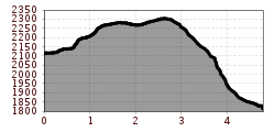
Difficulty:
difficult
Length:
6.5 km
Duration:
2:30 h
Elevation uphill:
332 m
Hohenzollernhaus - Bruchsteig
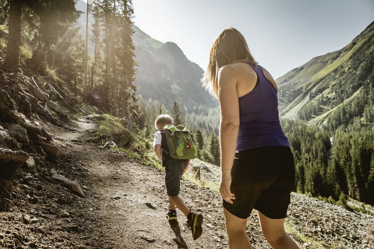
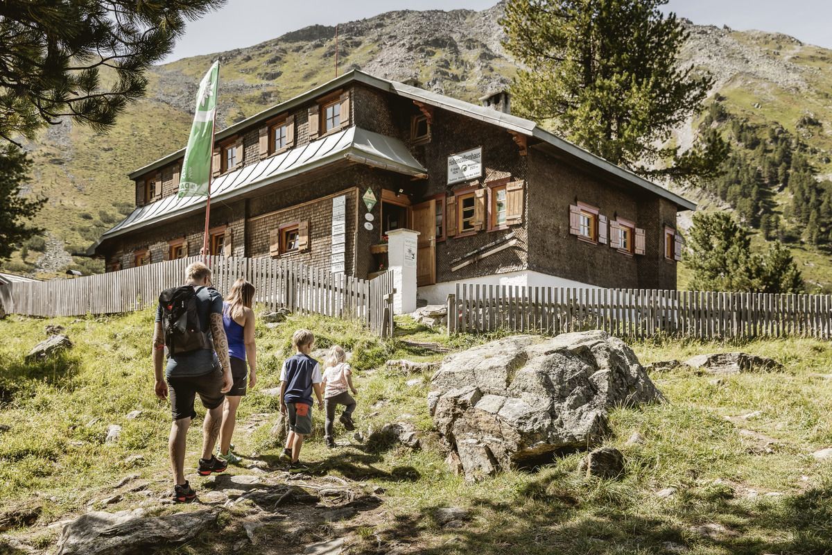
This panoramic high-level trail is unique and runs from the Hohenzollernhaus Pfunds to the Kaisertal Valley. The descent leads along the marked path to the Radurschlalm and is only for experienced climbers. It is best to ask at the Hohenzollernhaus about the condition of the path.
Tip: every Tuesday a hiking bus leaves for the Radurschl
Tip: emerald green mountain lake
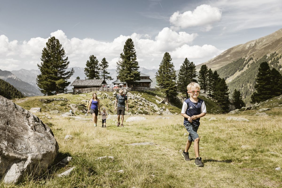
Refreshments: Radurschlalm, Hohenzollernhaus
.jpg")
.jpg")
.jpg")

.jpg")
.jpg")
.jpg")
")
.jpg")
.jpg")
.jpg")

.jpg")

