
Opening hours:Today closed
Place:Innsbruck
:Alpine pasture / hut / mountain restaurant:vegetarian, vegan
Hungerburg to Rum
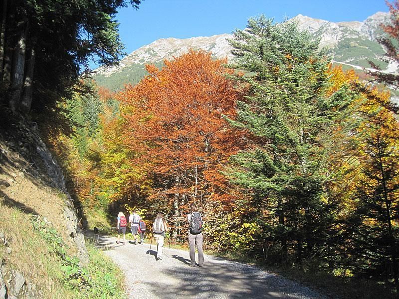

From the lift station at Hungerburg, turn right onto the first narrow road and follow it until you reach the edge of the forest. There, turn right and after a few minutes you'll come to the Rosnerweg trail. Follow the Rosnerweg until you come to a fork in the path. Then turn left and continue uphill through the forest to the Arzler Alm mountain hut. From the Arzler Alm, follow signs towards the Rumer Alm mountain hut, the Enzianhütte mountain hut and the village of Rum.
To get back to the starting point, hike back along the same route or take public transport.
Bus A, 501, 502 or 504 and Hungerburg railway


.jpg")


.jpg")

