
Arrival by public transport
Information about the current bus times can be found here:
Startseite • Verkehrsverbund Tirol (vvt.at)
"Tischirgant summit tower: challenging hike with breathtaking views"
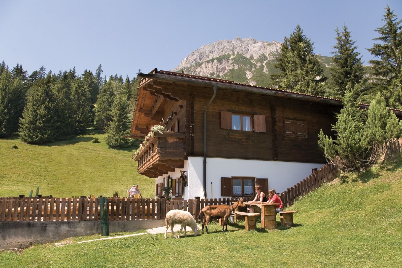
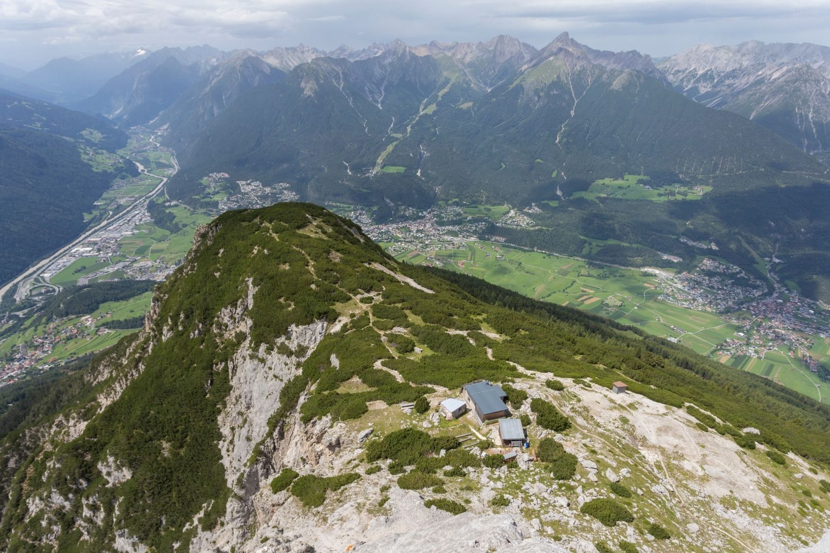
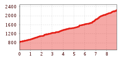
First, the alpine trail leads you through the spruce forest to the Karrer Alm. From there, the steep ascent begins on a narrow path that requires surefootedness and is interspersed with scree and rocks in places. Some sections are even secured by ropes.
The ascent is rewarded with a magnificent view as soon as you reach the saddle. You finally reach the summit of the Tischirgant via a ridge path that requires a head for heights. Enjoy the impressive landscape and the view over the mountains and valleys.
Not an easy but rewarding hike!
Information about the current bus times can be found here:
Startseite • Verkehrsverbund Tirol (vvt.at)


