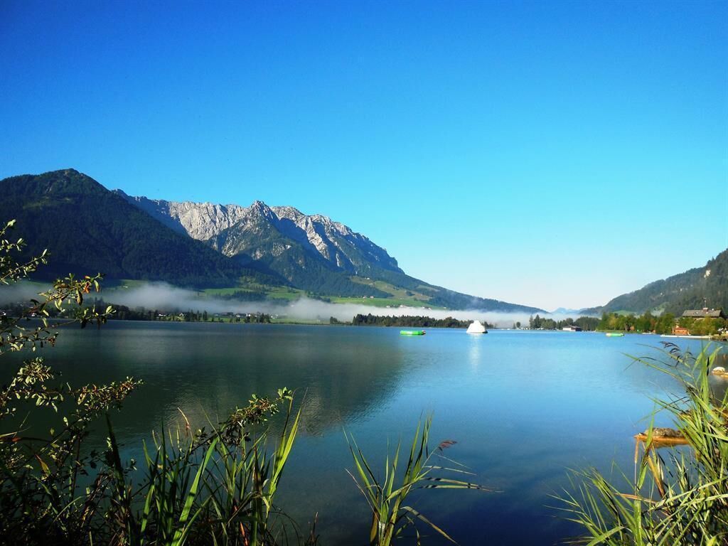
Kössen - Walchsee

Kössen / Chiemgau Alps
Difficulty ratings: easy
Route length: 8.9 km
Duration: 2:30 h

Trail Nr. 13

Tour information

  • Requirement: easy
  • Length: 8.9 km
  • Duration: 2:30 h
  • Elevation uphill:100 hm
  • Elevation downhill:50 hm
Highest point688 m

Starting point

Tourist Office Kössen

Finishing point

Tourist Office Walchsee
  • Fitness level 2 / 6
  • Technique 1 / 6

Features

  • Suitable for families
  • suitable for pushchairs

Best time of year

  • January
  • February
  • March
  • April
  • May
  • June
  • July
  • August
  • September
  • October
  • November
  • December

Trail condition

Asphalt, forest road

Equipment

Breathable outdoor clothing suitable for the weather, sturdy footwear, food (snacks, drinks),
sun protection (sunglasses, sun cream & cap), rain protection, cash; guest card if using the bus
Source: TVB Kaiserwinkl

Description

Start at the Kössen Information Office. Continue along the embankment toward the Staffen Bridge, heading south, and use the underpass beneath the federal highway to Walchsee. At the next intersection, keep to the right; turn left just before the idyllically situated St. Anna Chapel. Pass through the Mooslenz neighborhood and the fitness trail, then cross the federal highway (underpass). Follow the signs for Walchsee; the trail climbs briefly, passing through Riedlbauer to the Hallbruckhof, and continues on to the Ried district, then to Kranzach and Walchsee.

Getting here

  • Arrival by public transport

    By bus to the stop 'VZ Kaiserwinkl'.

  • Parking

    In front of the Tourist Office Kössen

Weather

Today

light rain showers
27°C/15°C
75%12l5 km/h

Wed

light rain showers
27°C/16°C
70%5.4l5 km/h

Thu

mainly clear
28°C/15°C
50%2.7l5 km/h
Go to weather forecast

More tours in the surrounding area

Newsletter

The mountain is calling? So does our newsletter!

In our monthly newsletter we reveal the best holiday tips for Tyrol.