Mountain hikes Kugelwandrunde

Walchsee / Chiemgau Alps
Difficulty ratings: medium
Route length: 4.1 km
Duration: 2:30 h

Trail Nr. 37, 50

Tour information

  • Requirement: medium
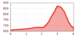
  • Length: 4.1 km
  • Duration: 2:30 h
  • Elevation uphill:236 hm
  • Elevation downhill:236 hm
Highest point881 m

Starting point

Tourist Information Walchsee

Finishing point

Tourist Information Walchsee
  • Fitness level 3 / 6
  • Technique 3 / 6

Best time of year

  • January
  • February
  • March
  • April
  • May
  • June
  • July
  • August
  • September
  • October
  • November
  • December

Trail condition

Asphalt, forest road, hiking trail

Equipment

Breathable outdoor clothing suitable for the weather, sturdy footwear, food (snacks, drinks),
sun protection (sunglasses, sun cream & cap), rain protection, cash; guest card if using the bus
Source: TVB Kaiserwinkl

Description

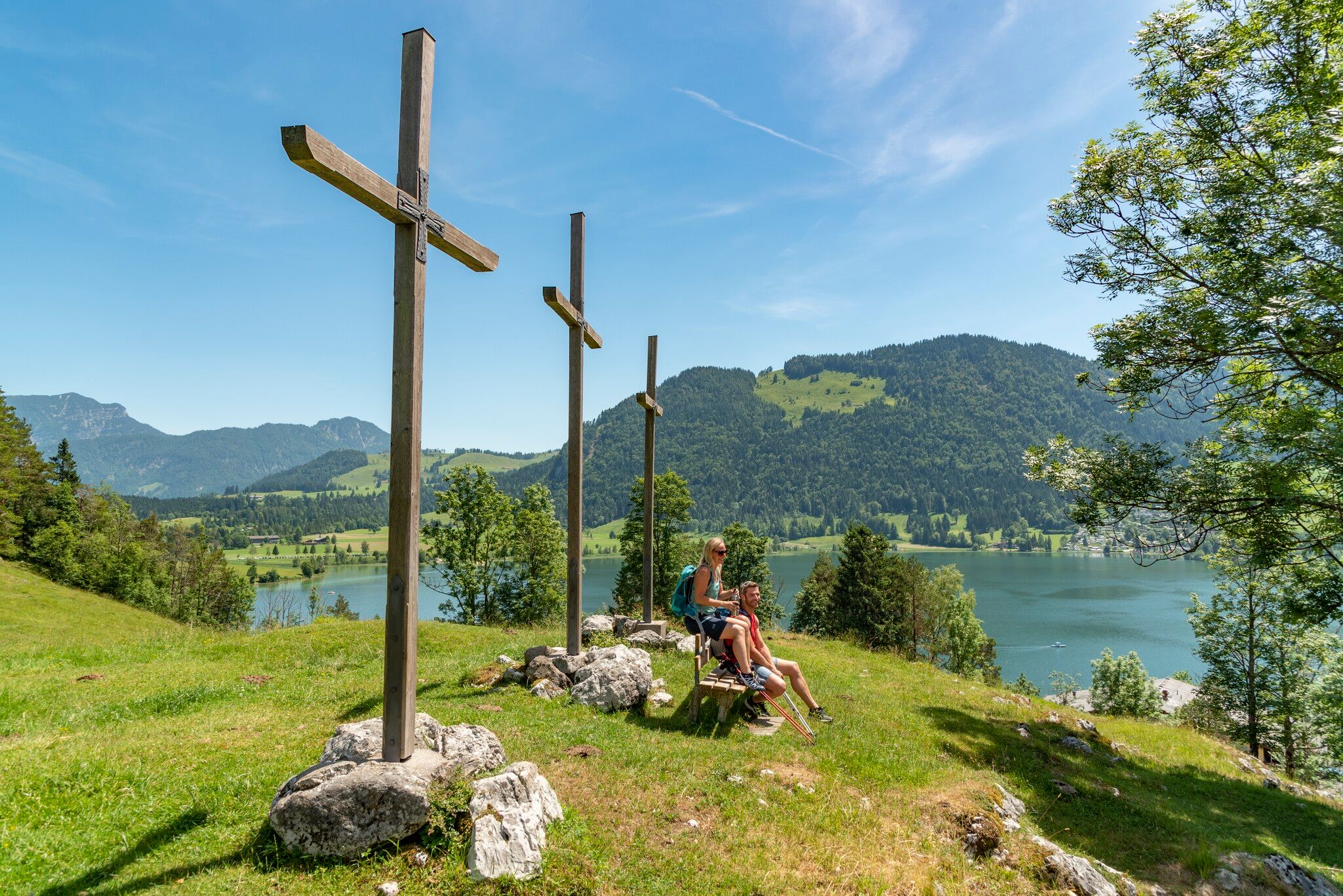
The starting point is at the Walchsee Information Office. Follow Hausbergstraße to the parking lot at the soccer field. Take the forest trail toward Ottenalm/Riederalm; from there, take the right fork and walk past Eisengattern—first on a wide forest trail, then on a slightly steeper forest hiking trail—until you reach Kugelwand. A detour to the scenic bench is well worth it! The view of Walchsee, the town of the same name, and the Zahmer Kaiser is breathtaking! Continue uphill for a short distance and keep right at the next signpost. From here, head downhill over the Kalvarienberg back to the starting point. Dogs are not allowed here!

Getting here

  • Arrival by public transport

    By bus to the stop Walchsee Dorf.

  • Parking

    In the village or at the Ramsbachstüberl

More tours in the surrounding area

Newsletter

The mountain is calling? So does our newsletter!

In our monthly newsletter we reveal the best holiday tips for Tyrol.