
Place:Münster
:Restaurant
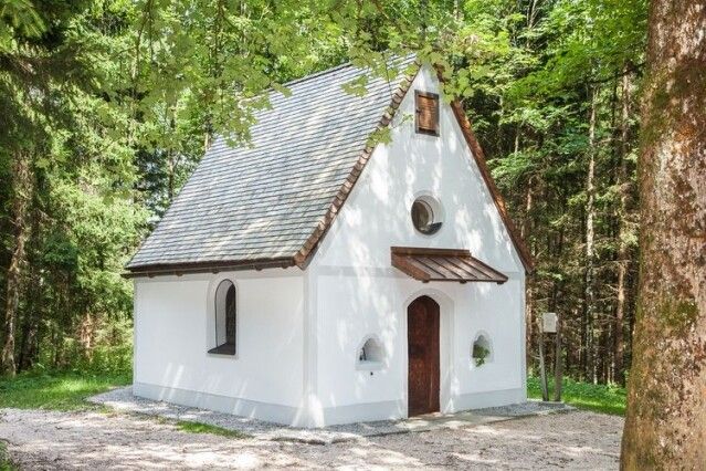
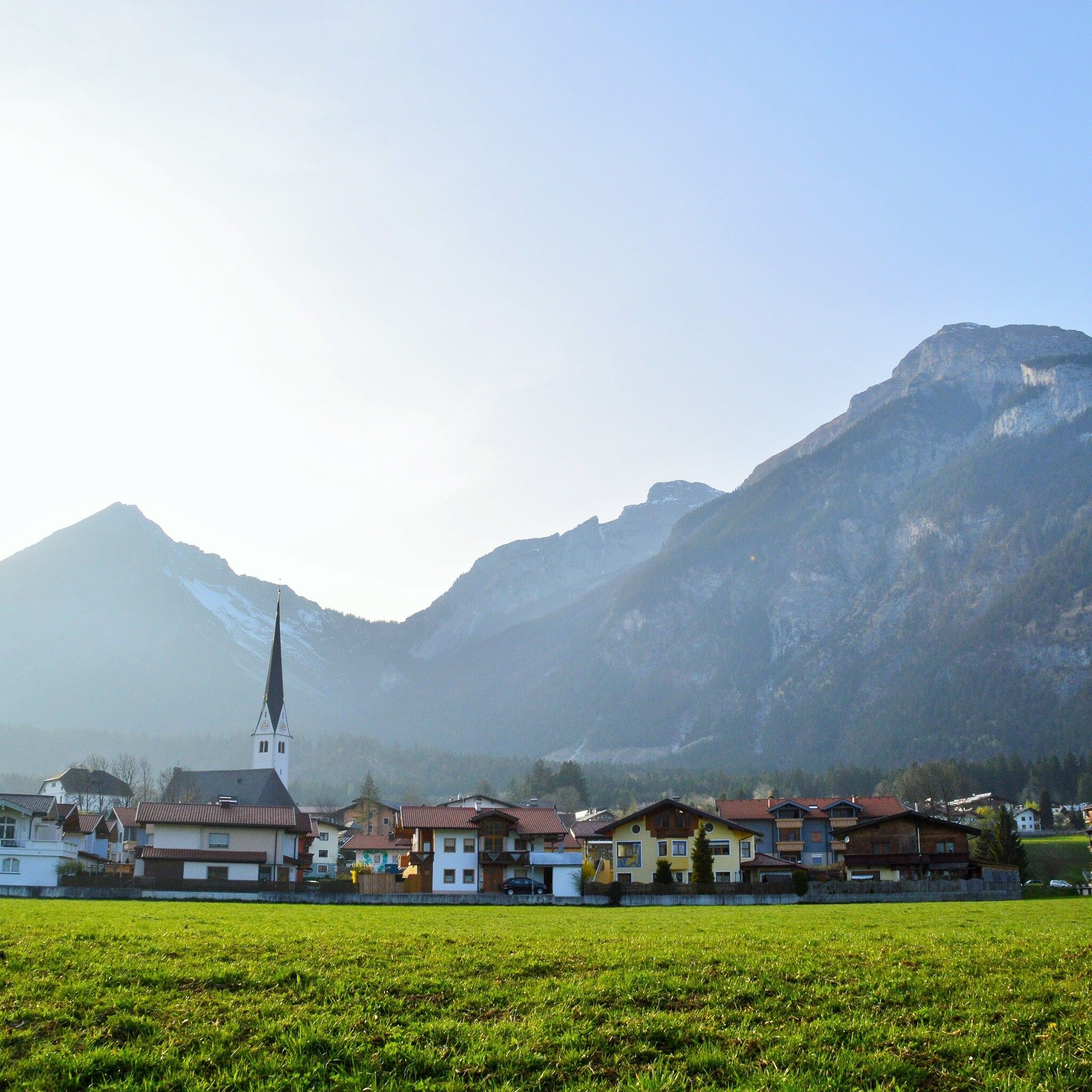
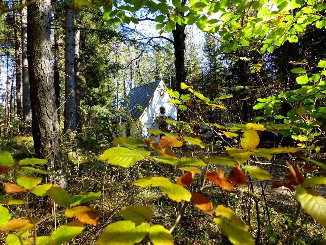
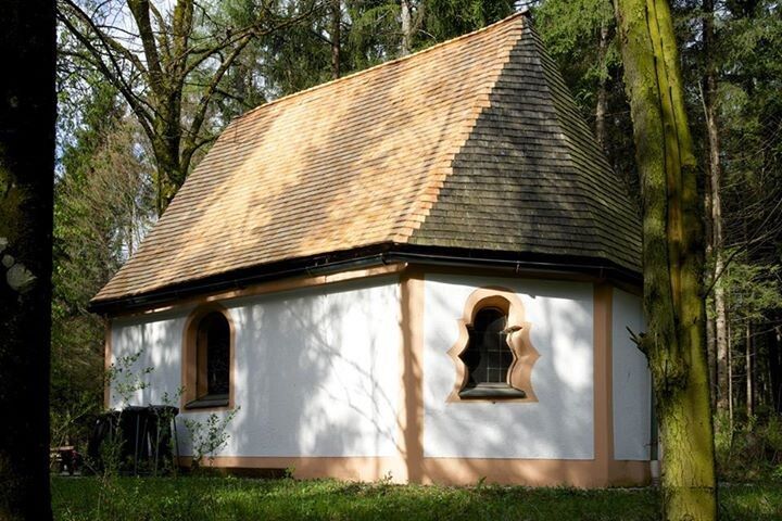
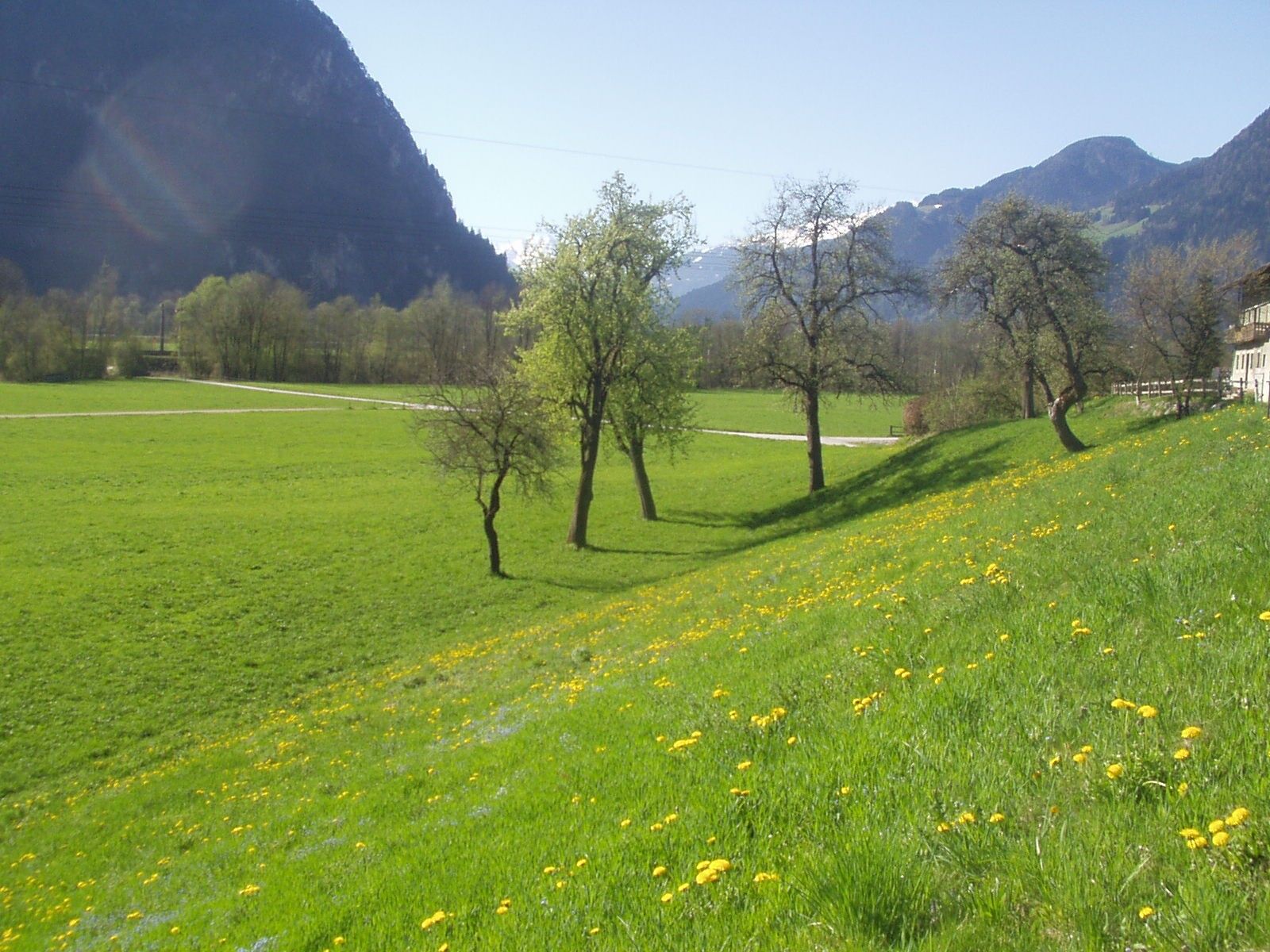
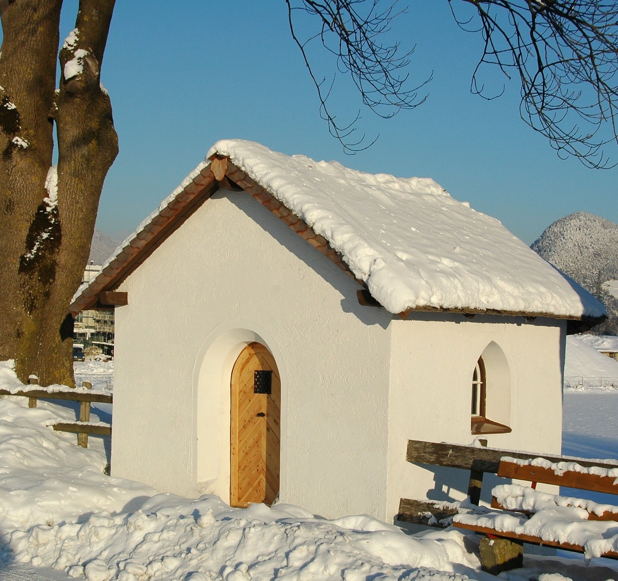
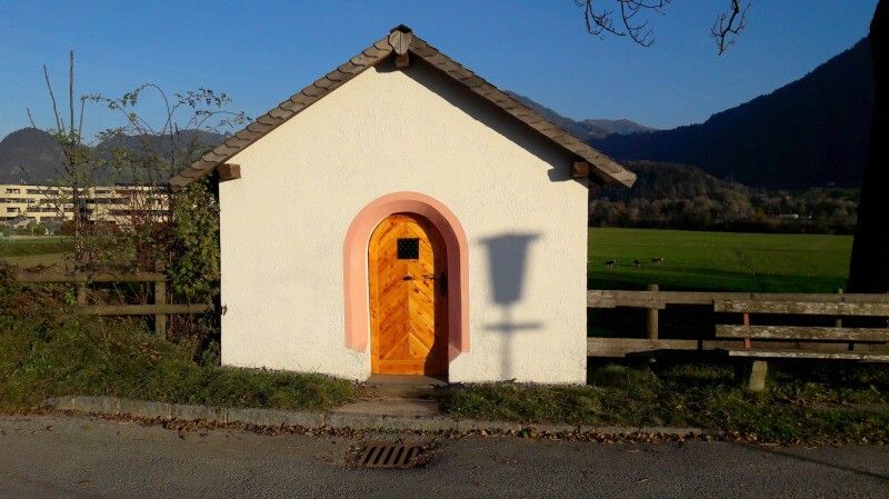
Village hike Münster with the special experience of the forest area with the Grünangerlkapelle.
good footwear, rain and sun protection, Mayr XL hiking map Alpbachtal No. 428
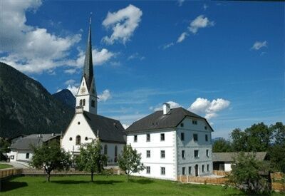
The comfortable hike starts at the village fountain in the center of Münster opposite the church on path R2 to the "Grünangerlkapelle" in the forest. Then walk back about 150 m, turn right, and continue on the path marked R1 to the "Hauserwirt".
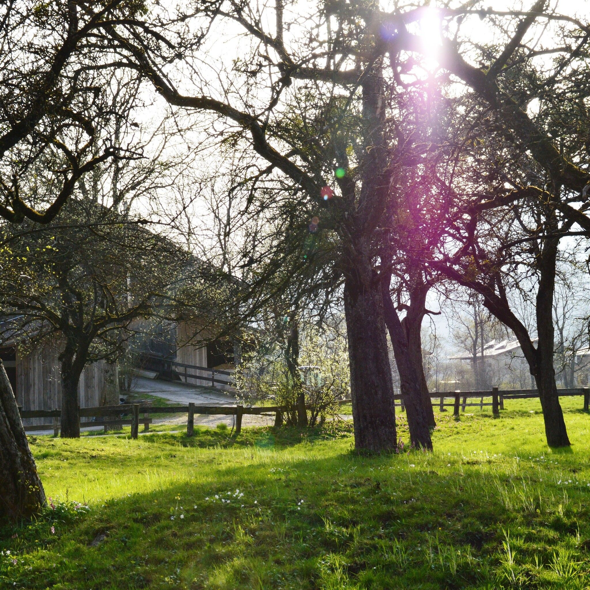
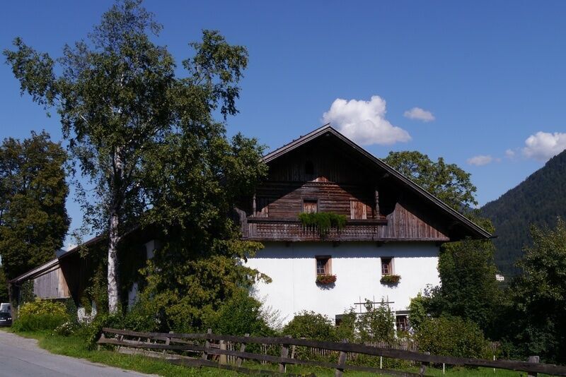
From there, back towards the village, past the listed farm "Berger" and cross the street after 200 m at "SAS-Hausmeisterservice." Through the district Hof - Hoferkapelle back to the center.
Train: Münster stop
Bus:Arrival: Alpbach - Brixlegg Bus 620, change to Bus 601 Brixlegg - Münster municipal office
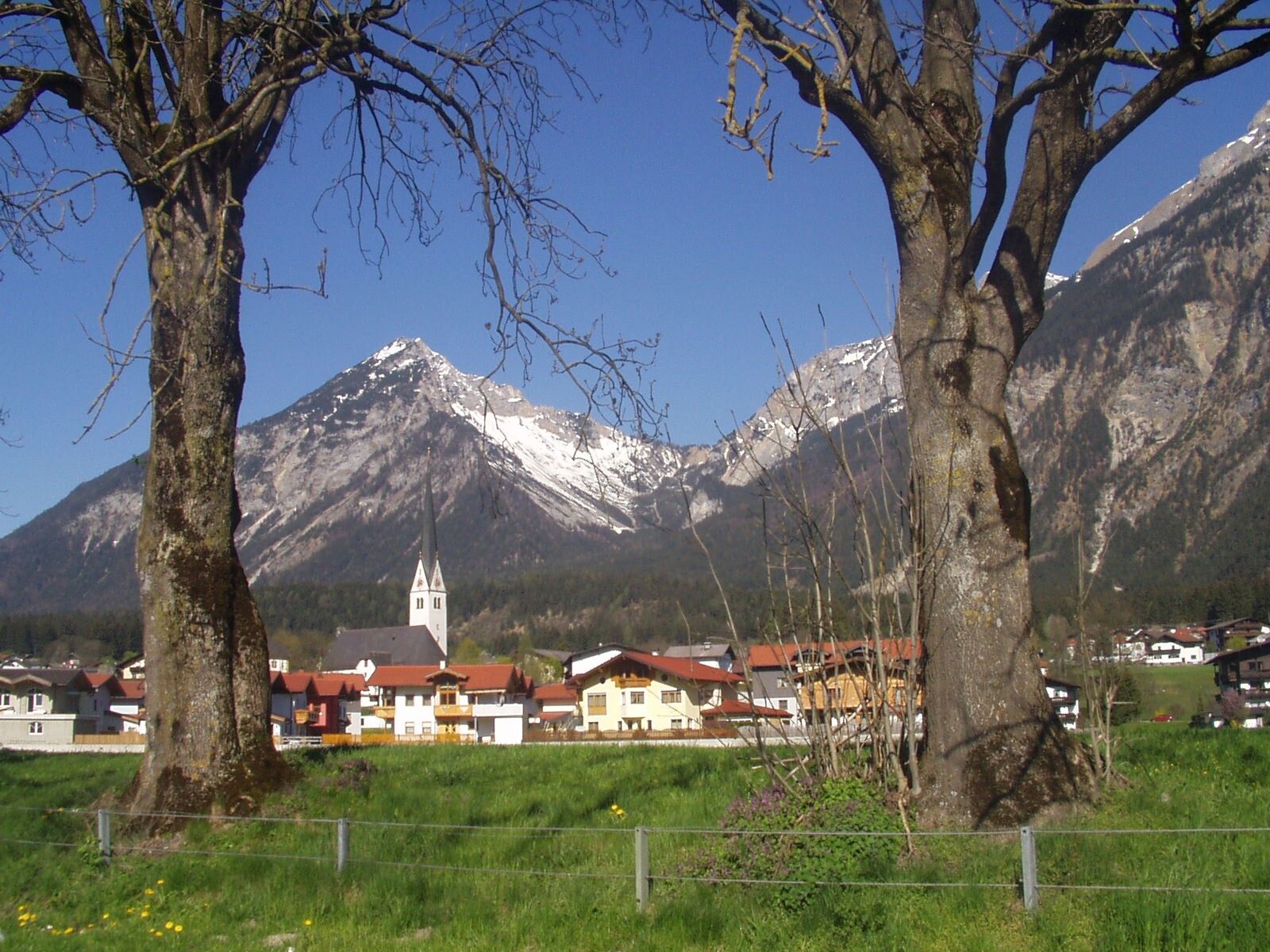
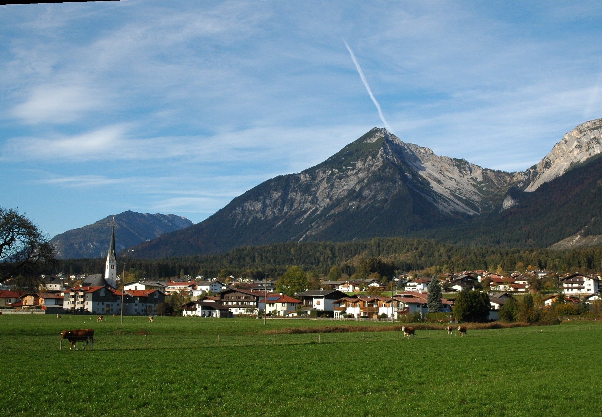
Münster village center


.jpg")


")


.jpg")


