
Opening hours:Open today
Place:St. Leonhard im Pitztal
:Alpine pasture / hut / mountain restaurant
Mainzer Höhenweg (high-level trail)
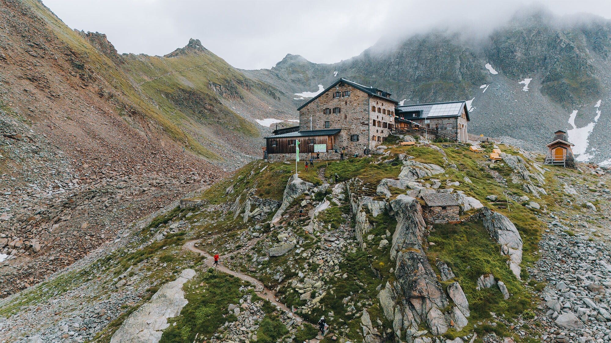
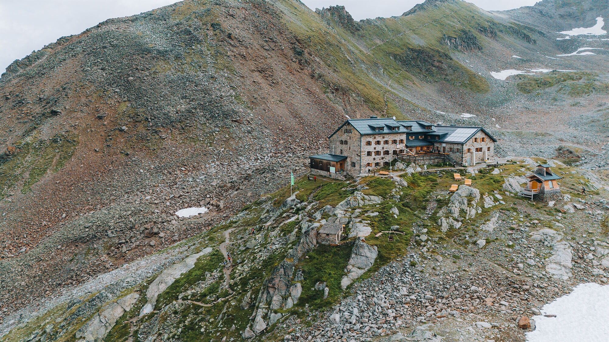
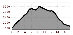
From the starting point you walk on the well-prepared track to the catered mountain hut Rüsselsheimer Hütte. After the hut, turn right towards the Weissmaurachsee lake. The track is moderately steep at first, then becomes a steeper climb as you follow on up to the Weissmaurachjoch. Walk on to the southern Puitkogelferner Glacier and over two further Glaciers to the Rheinlandpfalz-Biwak (bivouac). Please note that mountaineers require crampons at the Wassertalkogel. On a partially steep trail continue via the Wurmsitzkogel summit to the Polleskogel summit. Next, climb up to the Pitztaler Jöchl peak and then descend to the catered mountain hut Braunschweiger Hütte. On the way to the Glaciers there are partially secured via ferrate.
Please note that the Mainzer Höhenweg is a high Alpine route. Mountaineers must be confidently sure-footed to master the rock ledge terrain, require grade II rock climbing abilities and good orientation skills. Be sure to not underestimate the length of this trek. As this trek crosses Glaciers, appropriate equipment and advanced mountaineering experience are essential.


