Mountain hikes Markkirchlrundweg

Hopfgarten im Brixental / Kitzbüheler Alpen
Difficulty ratings: medium
Route length: 13.9 km
Duration: 6:20 h

From Gasthof Wegscheid past the Neue Bamberger Hütte you reach the idyllic Markkirchl on the border to Salzburg and return via the easy forest path.

Tour information

  • Requirement: medium
  • Length: 13.9 km
  • Duration: 6:20 h
  • Elevation uphill:864 hm
  • Elevation downhill:861 hm
Highest point1,990 m

Starting point

Gasthof Wegscheid

Finishing point

Gasthof Wegscheid
  • Fitness level 3 / 6
  • Technique 3 / 6

Features

  • Circular route

Best time of year

  • January
  • February
  • March
  • April
  • May
  • June
  • July
  • August
  • September
  • October
  • November
  • December

Trail condition

mostly mountain paths, partly forest roads

Equipment

outdoor clothng Sturdy shoes
sufficient water and snacks
first-aid kit
fully charged mobile phone + charger hiking map + guidebook if possible GPS device or GPS data on your phone
sun protection (sunscreen, glasses, hat)
rainwear
cash
Source: Kitzbüheler Alpen Management GmbH

Description

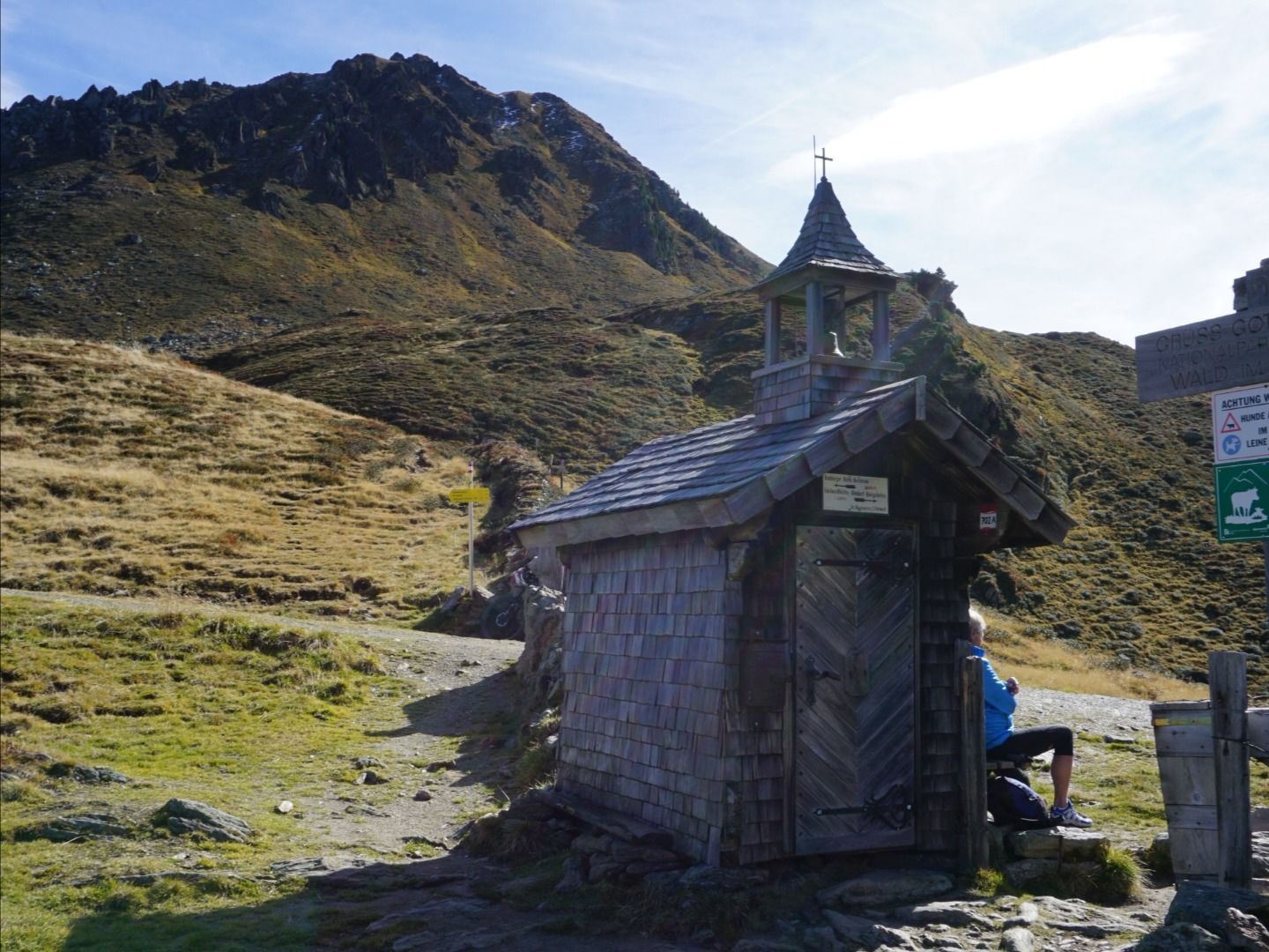
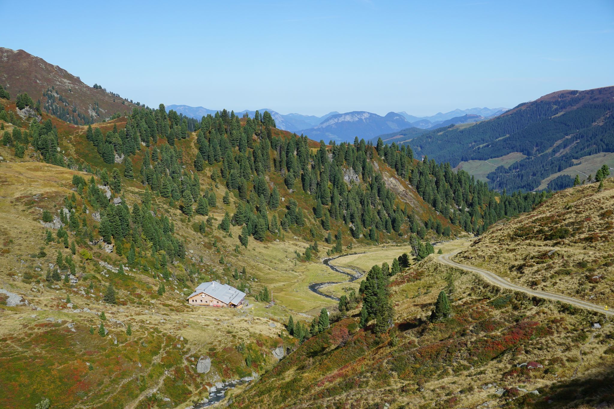
The starting point for this hike is the parking lot at Gasthof Wegscheid in Kurzen Grund. From there, follow the signs toward Neue Bamberger Hütte. At the next fork, follow the sign toward Tristkopf/Kröndlhorn/Markkirchl on the left. Now follow the forest path and the signs to Markkirchl, which is located directly at the border crossing to Salzburg. Then head back towards Neue Bamberger Hütte to Gasthof Wegscheid.

Nearby huts and mountain restaurants

Getting here

  • Arrival by public transport

    bus: Steinerbrücke" in Kelchsau valley

    Guest card of the region = train ticket from Kirchbichl to Hochfilzen + bus ticket from Mariastein to Kitzbühel included!
     
    More detailed information: www.hohe-salve.com/mobility
     

  • Parking

    Free parking at the toll station in Kelchsau or directly at Gasthof Wegscheid (toll fee €5)

More tours in the surrounding area

  • Niederau - Foisching Hut

    Difficulty: easy
    Length: 6.5 km Duration: 2:15 h Elevation uphill: 253 m
  • Schafsiedel

    Difficulty: medium
    Length: 15.6 km Duration: 6:45 h Elevation uphill: 1,280 m
  • KAT WALK COMPACT

    Difficulty: medium
    Length: 83.0 km Duration: 36:45 h Elevation uphill: 5,462 m
  • KAT WALK FAMILY

    Difficulty: medium
    Length: 52.5 km Elevation uphill: 3,390 m
Newsletter

The mountain is calling? So does our newsletter!

In our monthly newsletter we reveal the best holiday tips for Tyrol.