.jpg")
Difficulty:
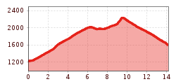
easy
Length:
10.3 km
Duration:
4:00 h
Elevation uphill:
507 m
Ochsenberg
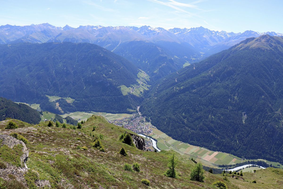
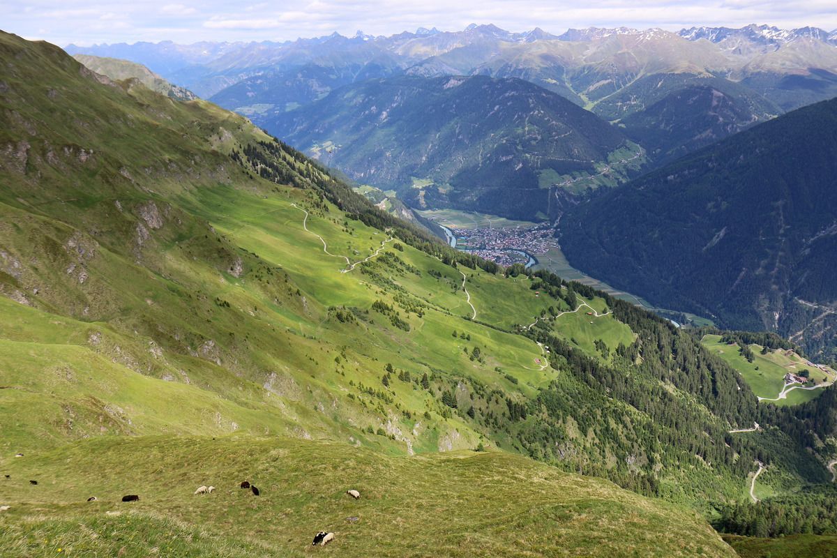
Drive from Pfunds up the Kobl to the first parking lot at the lower Kobl. At the car park, a forest path branches off to the right, past beautiful flowering alpine rose slopes to the Ochsenbergalm (not managed). Return via Hahntennenberg and the Kobler Alm meadows to the Kobler Alm car park.
Tip: every Friday a hiking bus leaves for the Kobl
.jpg")
.jpg")

.jpg")
.jpg")
")
.jpg")
.jpg")

.jpg")
.jpg")
.jpg")


