Themed hikes Panorama Trail Treasure Hunt Sölden

Sölden / Ötztaler Alpen
Difficulty ratings: medium
Route length: 3.9 km
Duration: 2:45 h

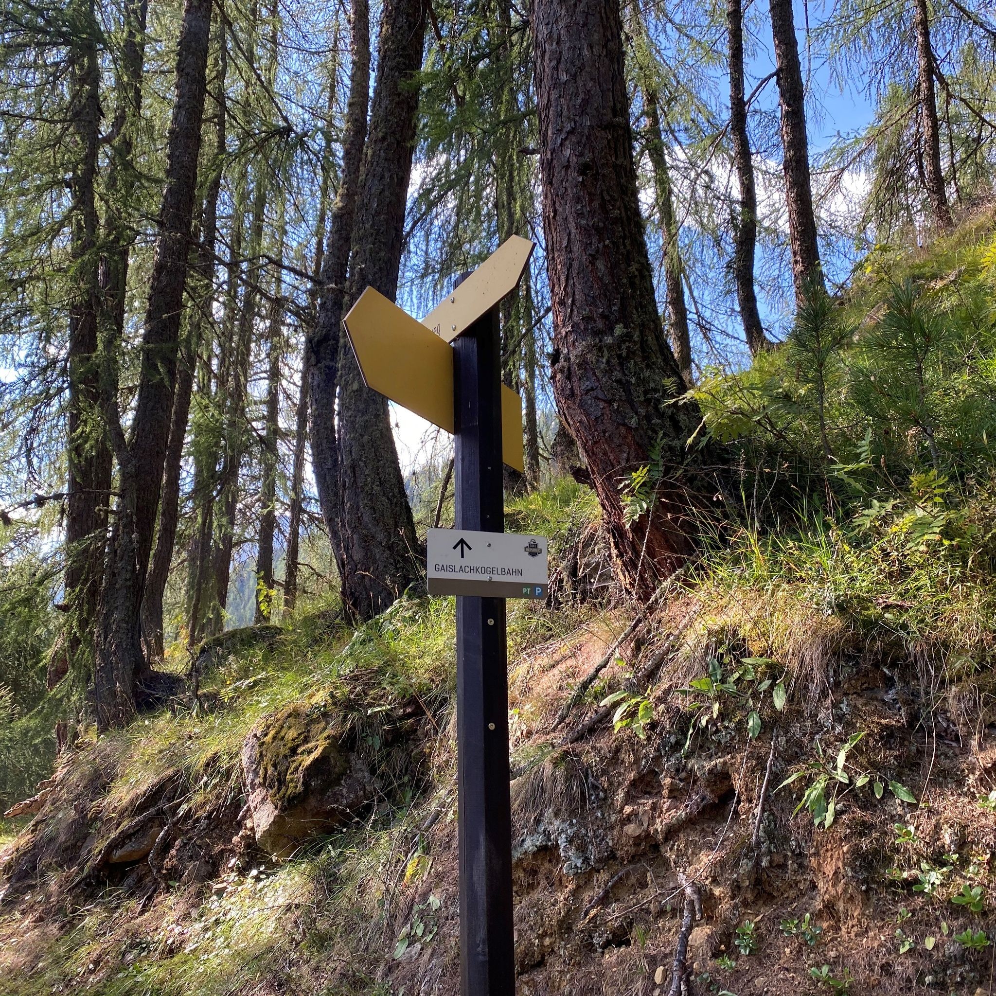
Enjoy a panoramic hike a little above Sölden. Take the Zentrum Shuttle towards Unterwald, from where you hike via Innerwald to Stiegele, then reach the Panorama Trail.

Tour information

  • Requirement: medium
  • Length: 3.9 km
  • Duration: 2:45 h
  • Elevation uphill:178 hm
  • Elevation downhill:178 hm
Highest point1,606 m

Starting point

Zentrum Shuttle Sölden

Finishing point

Zentrum Shuttle Sölden
  • Fitness level 3 / 6

Best time of year

  • January
  • February
  • March
  • April
  • May
  • June
  • July
  • August
  • September
  • October
  • November
  • December

Equipment

Hiking boots, snack and drink

Source: TVB Ötztal Tourismus

Description

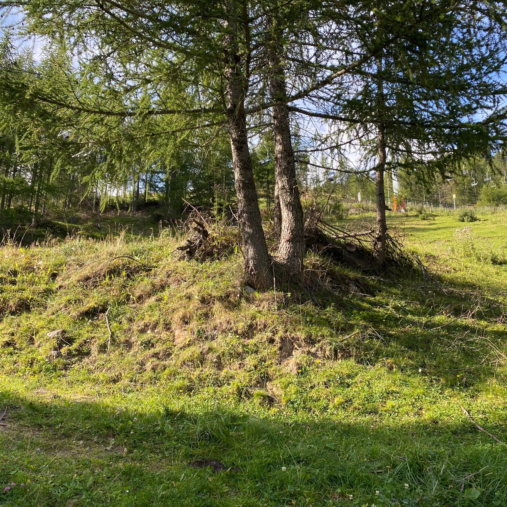
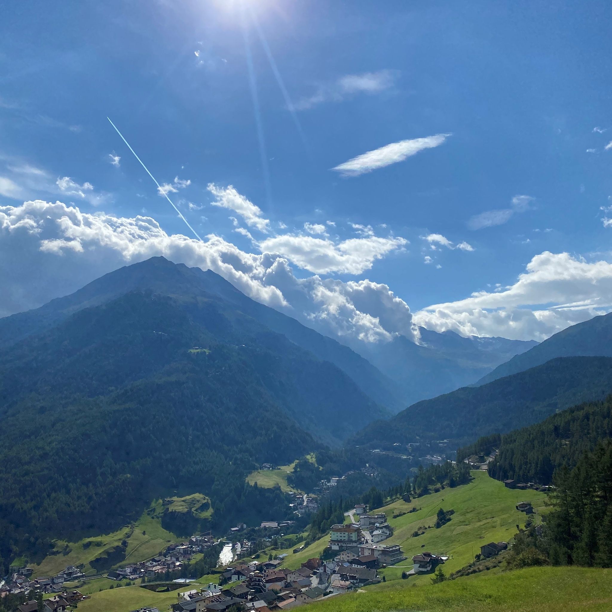
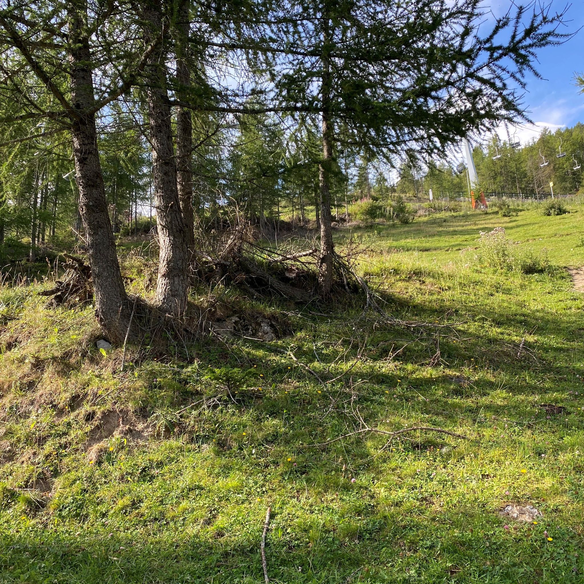
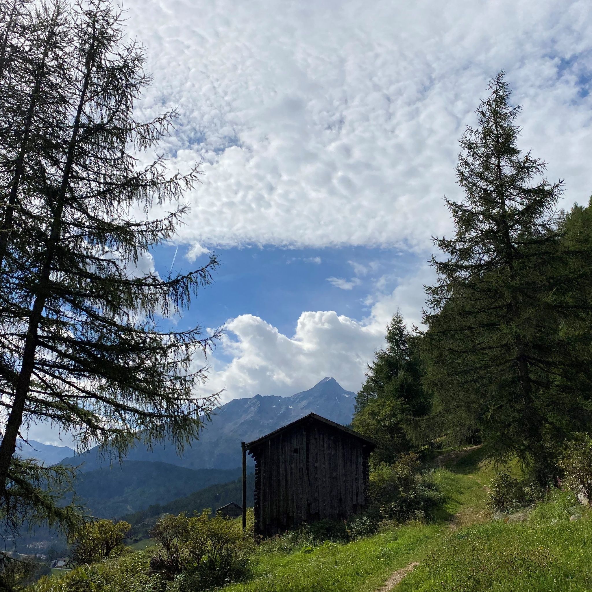
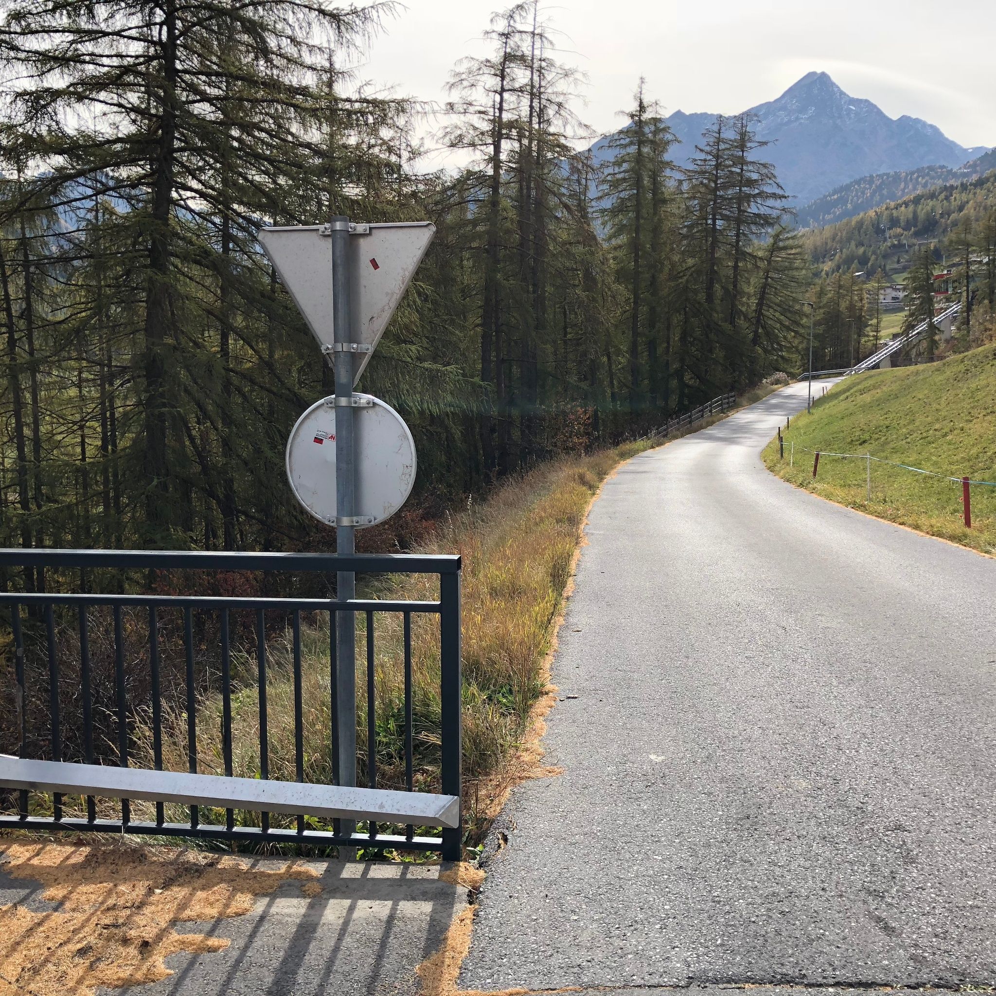
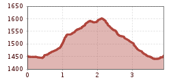
Experience the magnificent hike along the Panorama Trail in Sölden, which takes you through the hamlet of Unterwald towards Stiegele, then further above the hamlets of Innerwald to the hamlet of See. Along this trail, you can enjoy a splendid panorama of Sölden while admiring the special features of nature both in the forest and along the forest roads. Enjoy the spectacular view and the fresh mountain air on this unforgettable adventure.

How do you find your treasure? Along the marked route are small caches (treasure boxes). Each cache contains a sheet with one of six secret numbers and/or one of two colors. Write these numbers and colors on your treasure map. Whoever finds all caches and thus knows the secret numbers in the correct colors can open the locks of the treasure chest at the Sölden information office. The starting point of the route can be reached in a few minutes by the Zentrum Shuttle.


Getting here

  • Arrival by public transport

    By bus from Ötztal station to Sölden - bus stop Sölden Hotel Hubertus. Then the Zentrum Shuttle to Unterwald (observe opening times). 

  • Parking

    Public parking in the village subject to charges. 

More tours in the surrounding area

  • Ötztal Trek Stage 6

    Difficulty:difficult
    Length:7.6 kmDuration:3:30 hElevation uphill:640 m
  • Ötztal Trek Stage 3

    Difficulty:difficult
    Length:10.4 kmDuration:4:00 hElevation uphill:842 m
  • Ötztal Trek Stage 7

    Difficulty:difficult
    Length:5.3 kmDuration:2:00 hElevation uphill:376 m
  • Ötztal Trek Stage 17

    Difficulty:difficult
    Length:16.4 kmDuration:6:00 hElevation uphill:1,080 m
  • Ötztal Trek Stage 14

    Difficulty:difficult
    Length:6.3 kmDuration:3:00 hElevation uphill:1,004 m
  • Ötztal Trek Stage 4

    Difficulty:difficult
    Length:8.9 kmDuration:4:00 hElevation uphill:802 m
  • Ötztal Trek Stage 10

    Difficulty:difficult
    Length:11.1 kmDuration:4:30 hElevation uphill:1,476 m
  • Ötztal Trek Stage 8

    Difficulty:difficult
    Length:9.3 kmDuration:3:30 hElevation uphill:274 m
  • Ötztal Trek Stage 1

    Difficulty:medium
    Length:18.6 kmDuration:6:30 hElevation uphill:1,561 m
  • Ötztal Trek Stage 16

    Difficulty:difficult
    Length:6.9 kmDuration:2:30 hElevation uphill:358 m
  • Ötztal Trek Stage 20

    Opening hours:closed
    Difficulty:medium
    Length:6.4 kmDuration:3:00 hElevation uphill:610 m
  • Ötztal Trek Stage 12

    Difficulty:difficult
    Length:4.8 kmDuration:2:00 hElevation uphill:592 m
  • Ötztal Trek Stage 5

    Difficulty:difficult
    Length:8.1 kmDuration:3:30 hElevation uphill:1,125 m
  • Ötztal Trek

    Length:246.4 kmDuration:84:25 hElevation uphill:18,910 m
  • Ötztal Trek Stage 11

    Difficulty:difficult
    Length:12.0 kmDuration:5:00 hElevation uphill:705 m
  • Stuibenfall hike - Umhausen

    Opening hours:open
    Difficulty:easy
    Length:2.9 kmDuration:1:45 hElevation uphill:456 m
  • Mountain peak Rosskopf

    Difficulty:medium
    Length:2.0 kmDuration:2:00 hElevation uphill:379 m
  • Mutsbühl

    Difficulty:medium
    Length:4.5 kmDuration:1:30 hElevation uphill:470 m
Newsletter

The mountain is calling? So does our newsletter!

In our monthly newsletter we reveal the best holiday tips for Tyrol.