
Opening hours:Open today
Place:Pertisau am Achensee
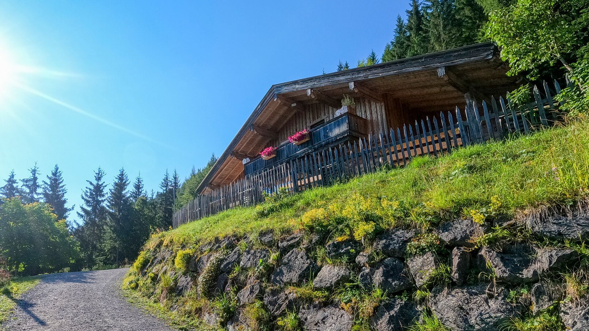
:Alpine pasture / hut / mountain restaurant
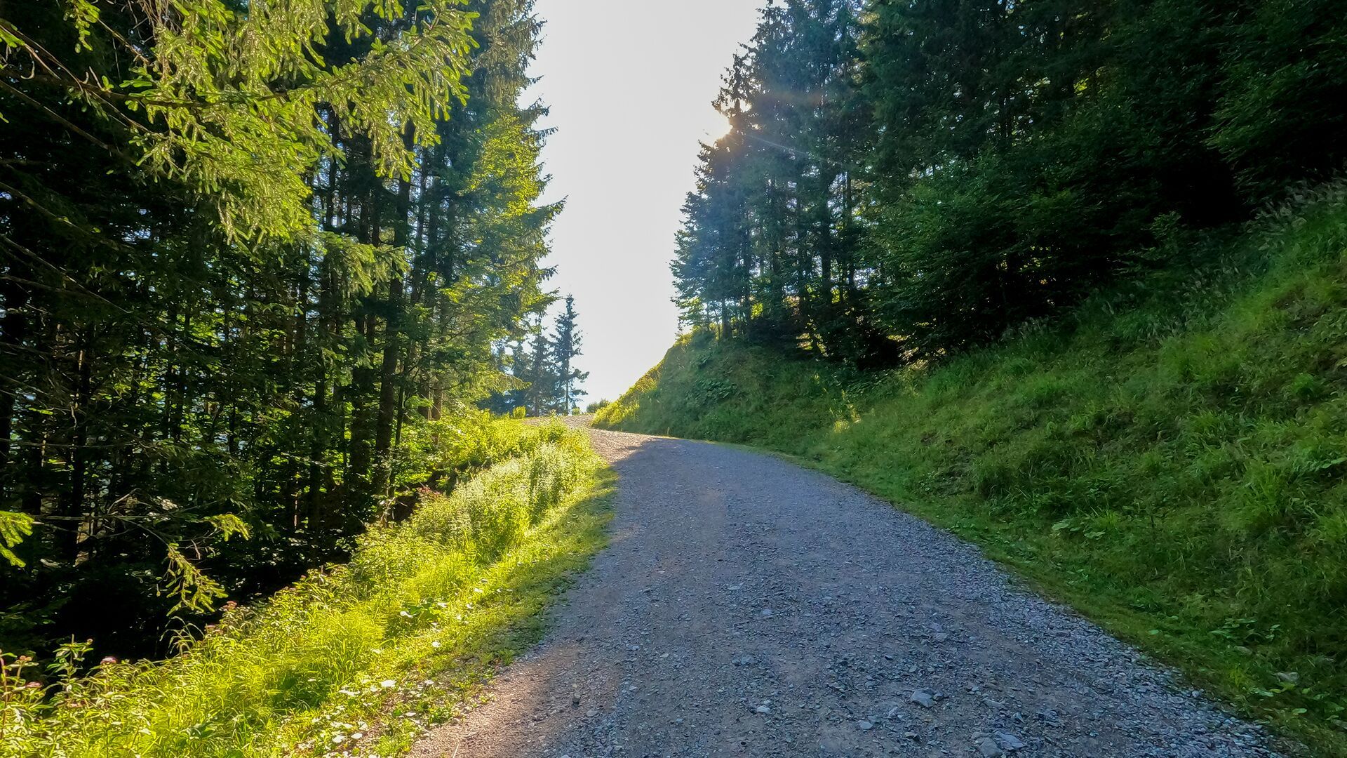
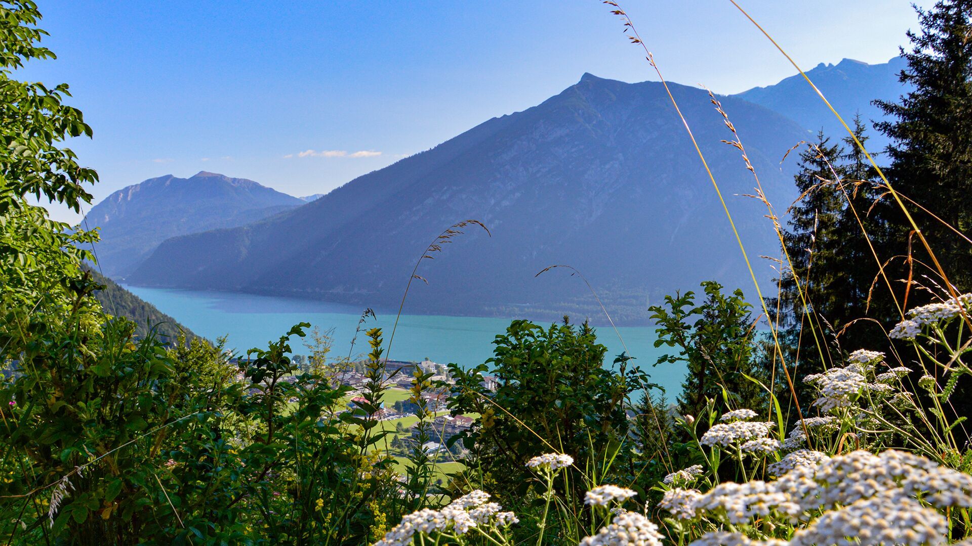
From the Karwendel cable car, a forest road leads uphill through the woods to the Rodlhütte – 150 metres elevation gain, 45 minutes’ walk and lovely views over Pertisau.
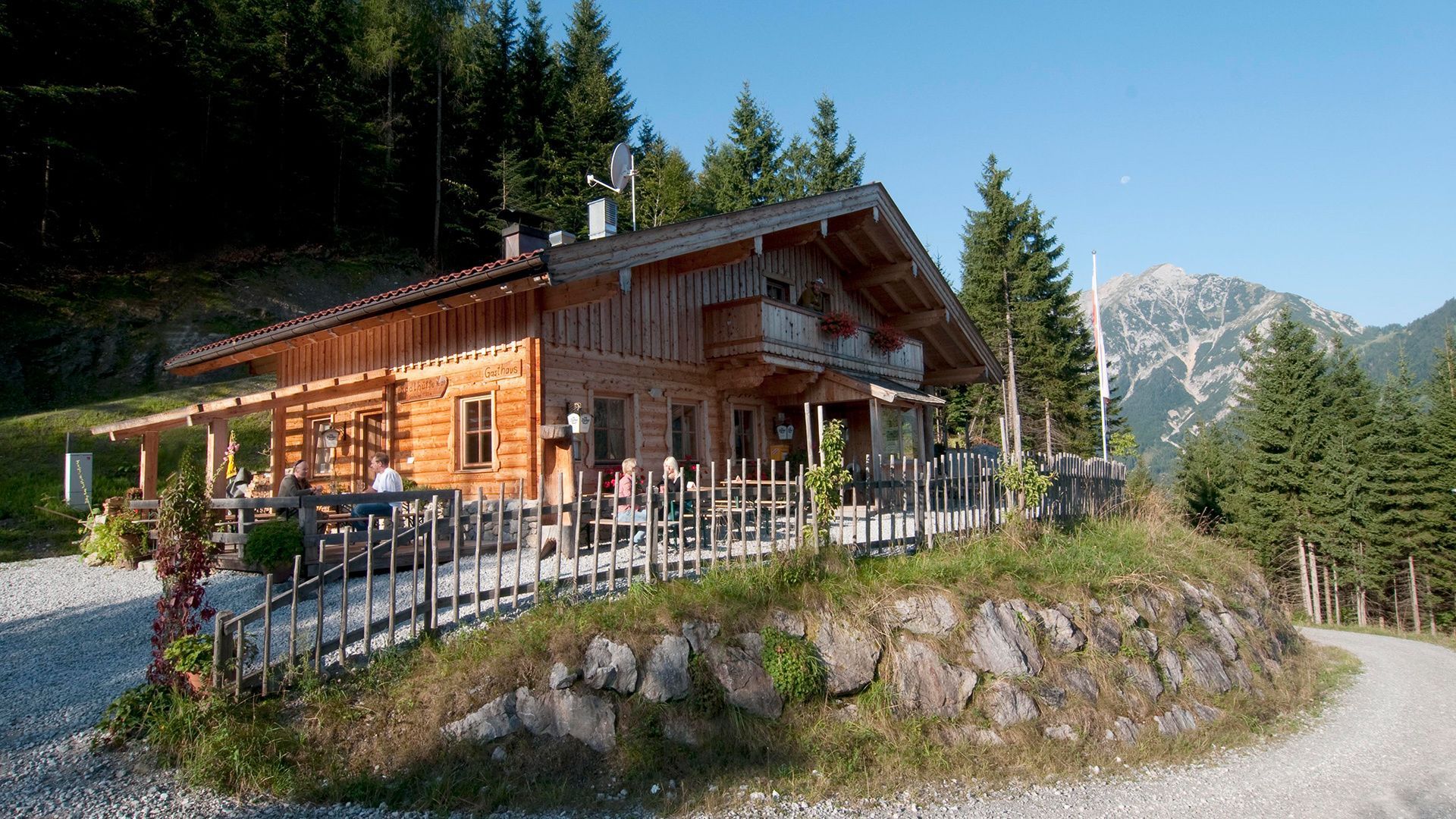
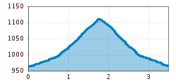
From the valley station of the Karwendel cable car follow the path to the “Tristenautal“ valley on the right. After approx. 500 meters turn left and follow the ascending path (toboggan run) to the “Rodlhütte“ mountain hut (1,130 metres). The return is via the same route.
Take the regional bus (line 8332 or 390) to Pertisau to the valley station of the Karwendel cable car and get off at the "Karwendellift Pertisau" stop.
Car park of the Karwendel cable car no. 1 or 2 (paid parking)


.jpg")


.jpg")
