Mountain hikes Pitzenhöfe circular route

Wenns im Pitztal /
Difficulty ratings: easy
Route length: 4.1 km
Duration: 1:10 h

Pitzenhöfe circular route

Tour information

  • Requirement: easy
  • Length: 4.1 km
  • Duration: 1:10 h
  • Elevation uphill:140 hm
  • Elevation downhill:140 hm
Highest point1,000 m

Starting point

Car park Gemeindezentrum Wenns

Finishing point

Car park Gemeindezentrum Wenns

Features

  • Circular route
  • suitable for pushchairs

Best time of year

  • January
  • February
  • March
  • April
  • May
  • June
  • July
  • August
  • September
  • October
  • November
  • December

Trail condition

asphalt, forest path, field path
Source: Pitztal

Description

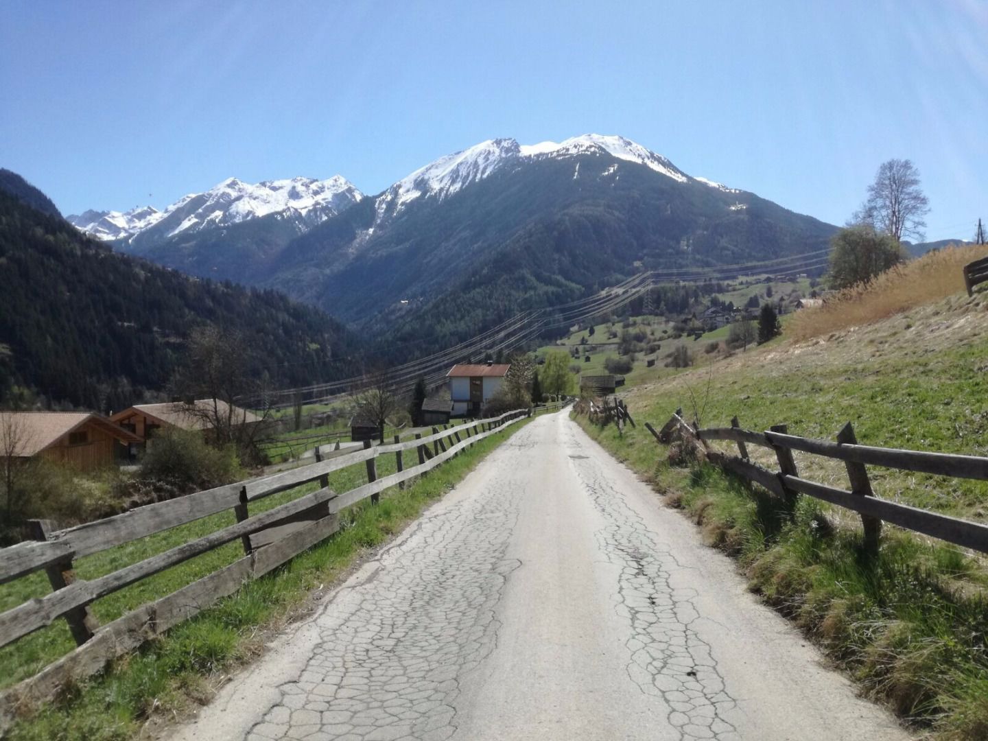
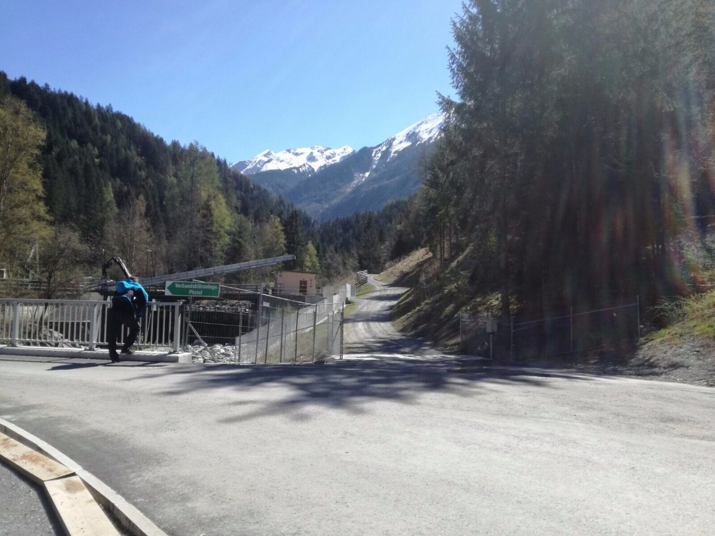
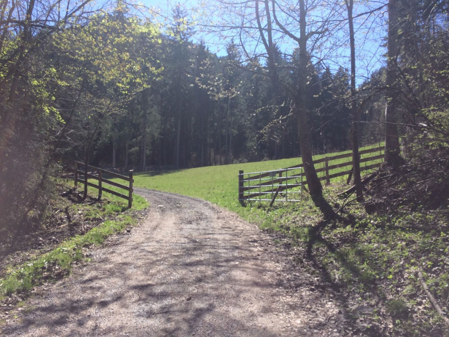
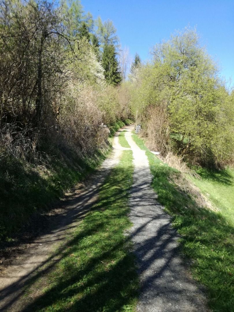
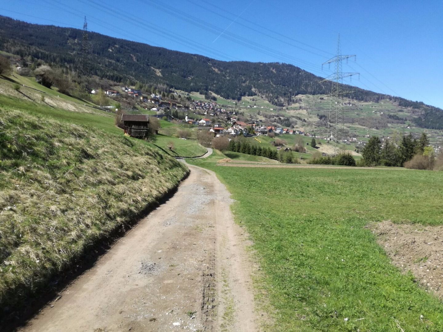
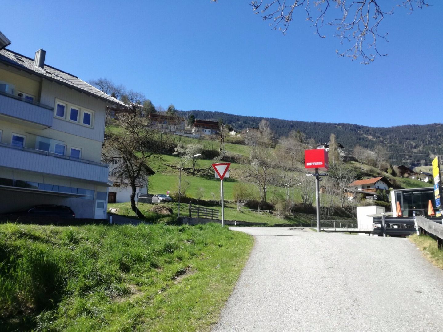
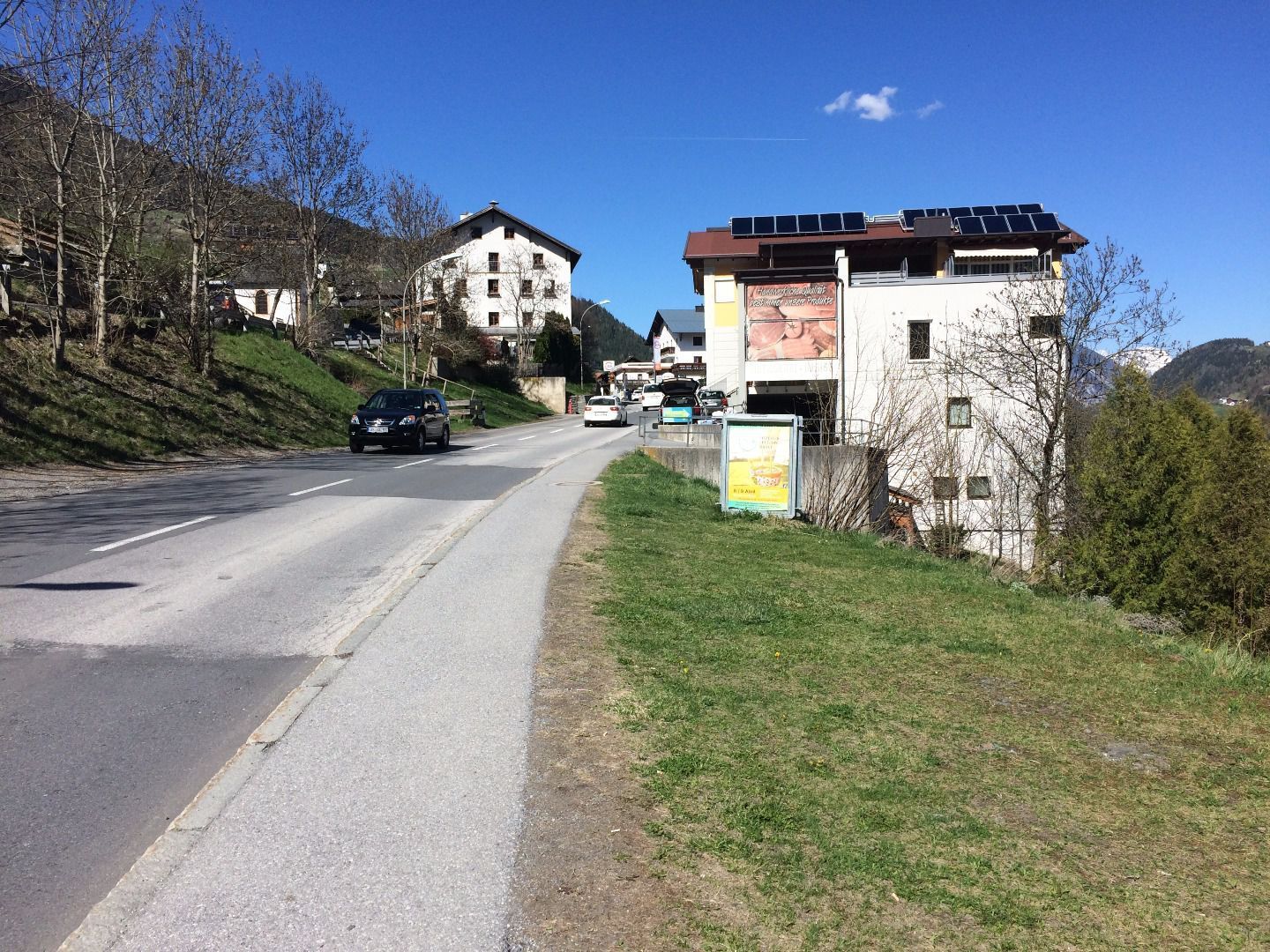
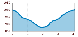
From the starting point hike to the village centre (Pitztalerhof). Then follow the signposts “Rundwanderweg Pitzenhöfe” (Pitzehöfe circular hike).Walk through the historic lower town with its museum, the historic, beautifully painted ‘Platzhaus’, war memorial and parish church. After the school, follow the path to the right all the way to the Pitzenhöfe. You will see a wooden bridge: take a right turn just before it. Continue to walk on the forest path and turn right at the fork towards Wenns/St Margarethen. On the way back walk along the main road. 

Nearby huts and mountain restaurants

More tours in the surrounding area

Newsletter

The mountain is calling? So does our newsletter!

In our monthly newsletter we reveal the best holiday tips for Tyrol.