

Place:Breitenwang
:Alpine pasture / hut / mountain restaurant
Scenic hike along the fjord-like Lake Plansee with beautiful panoramic views.
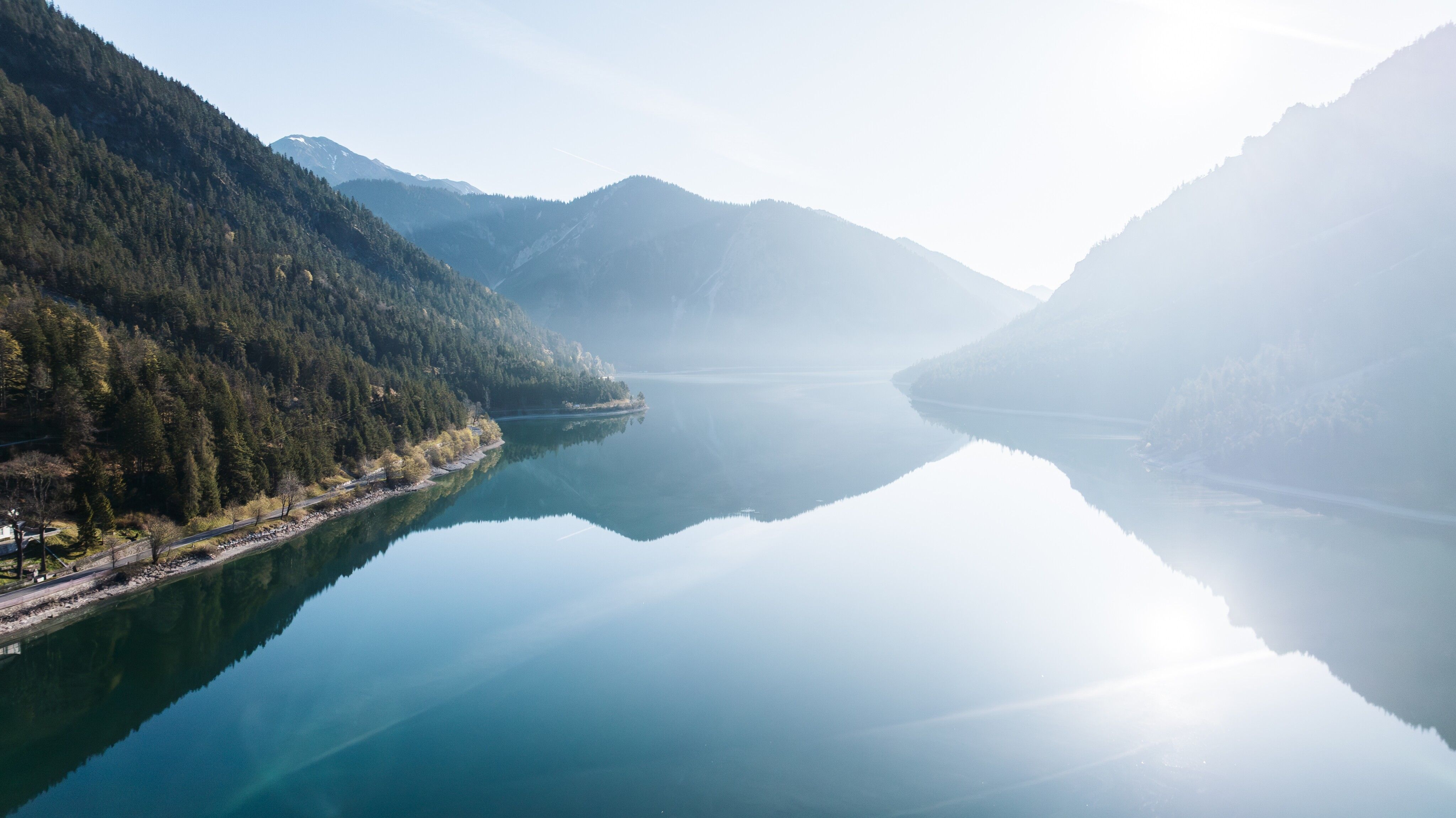
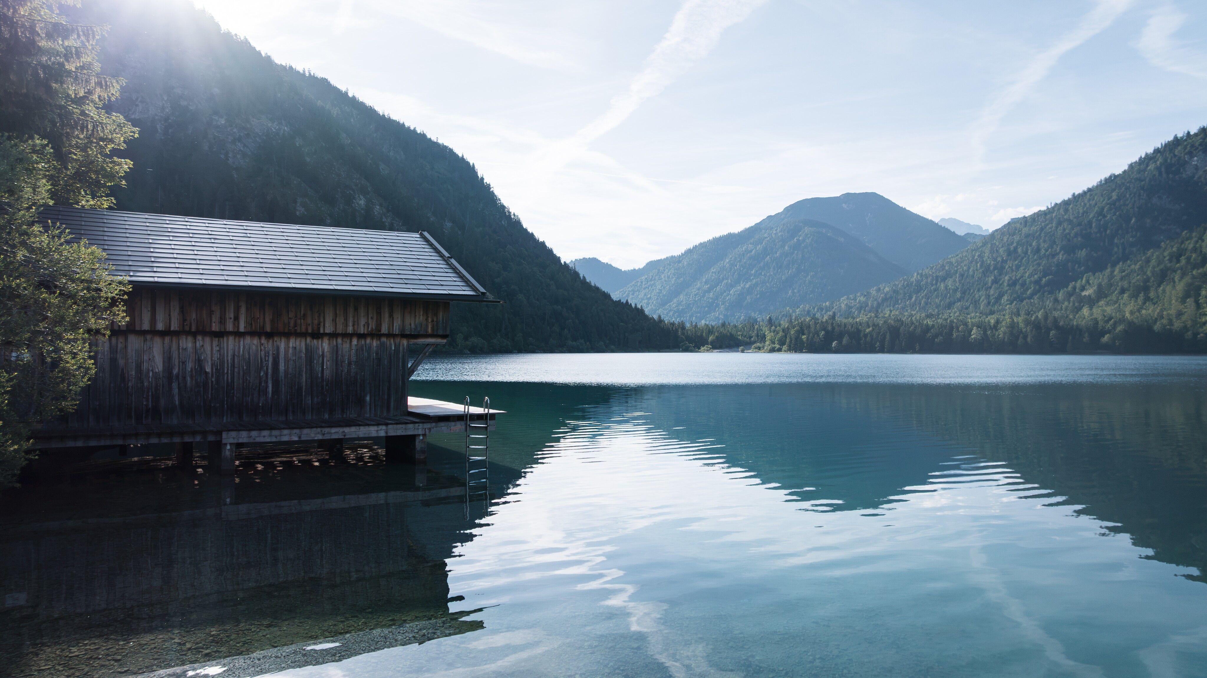
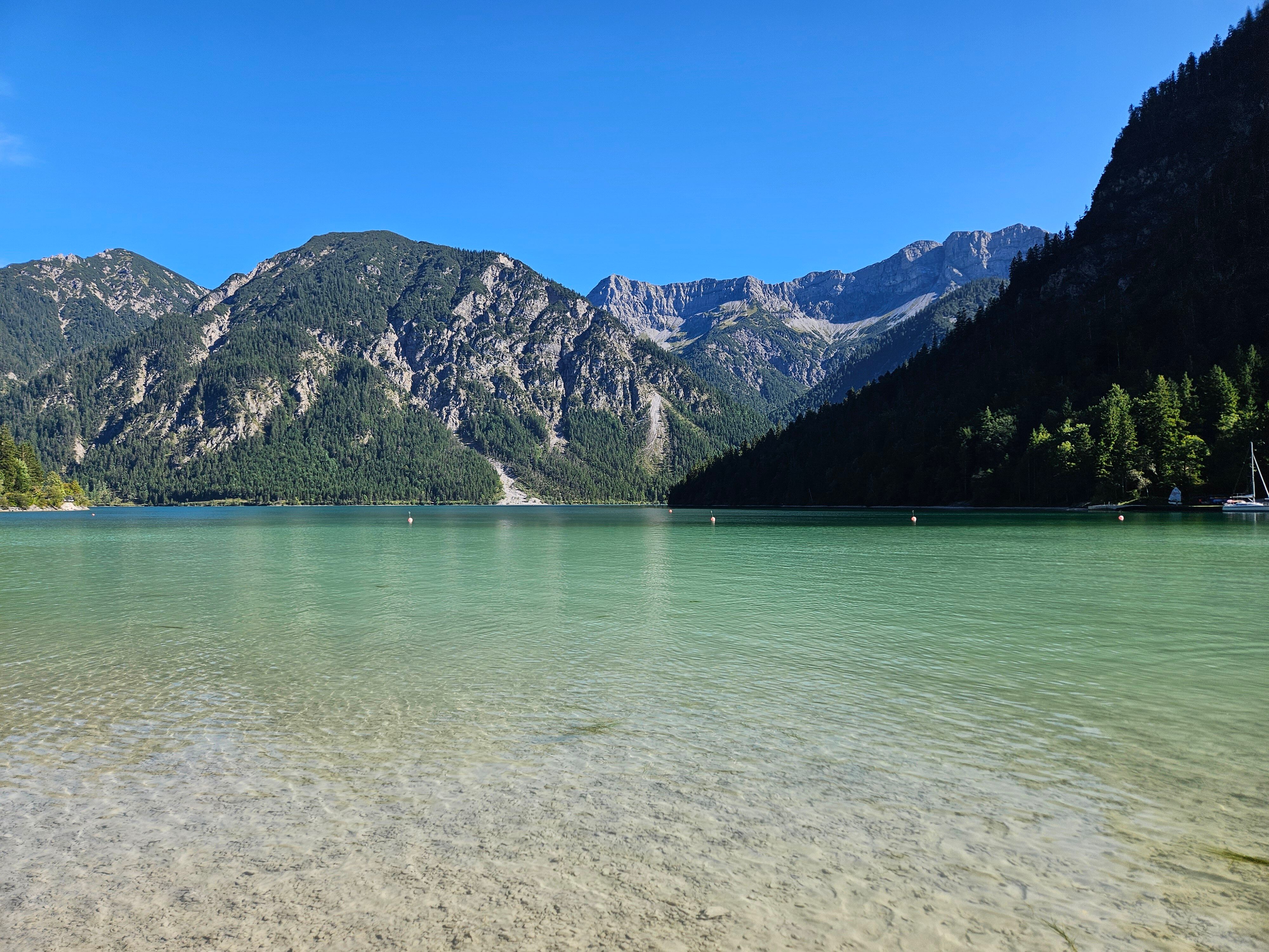
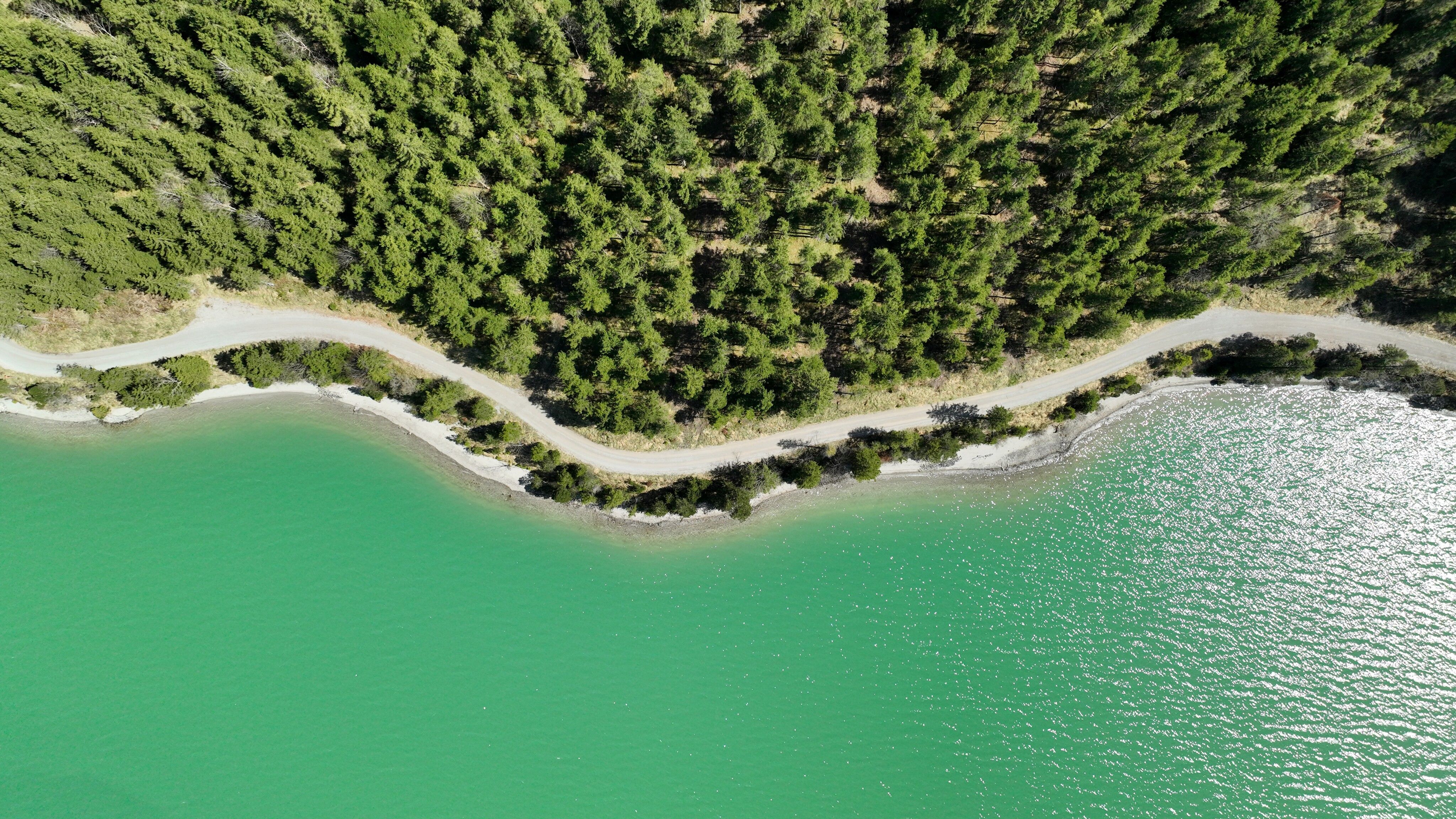
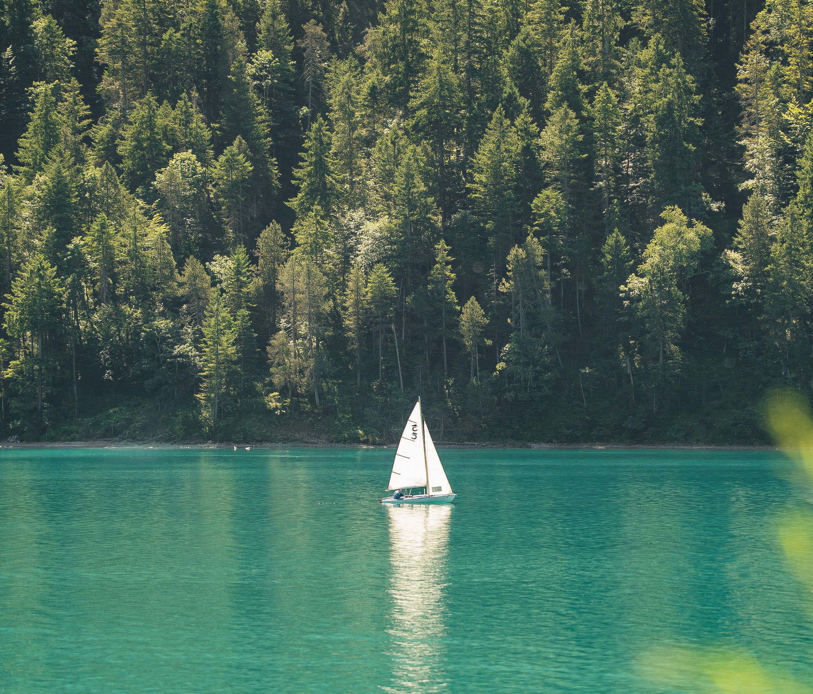
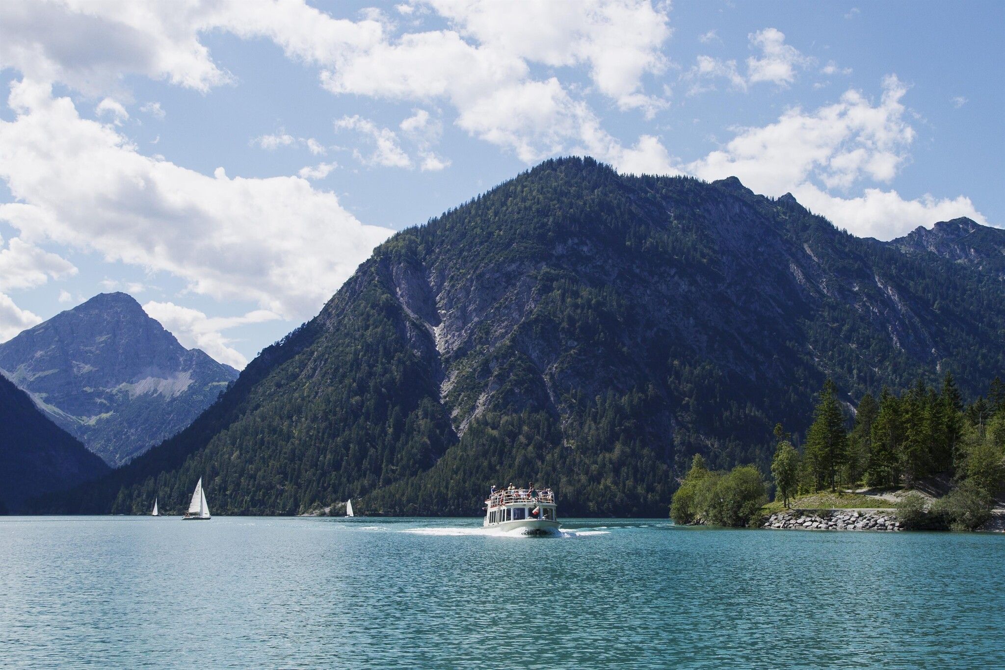
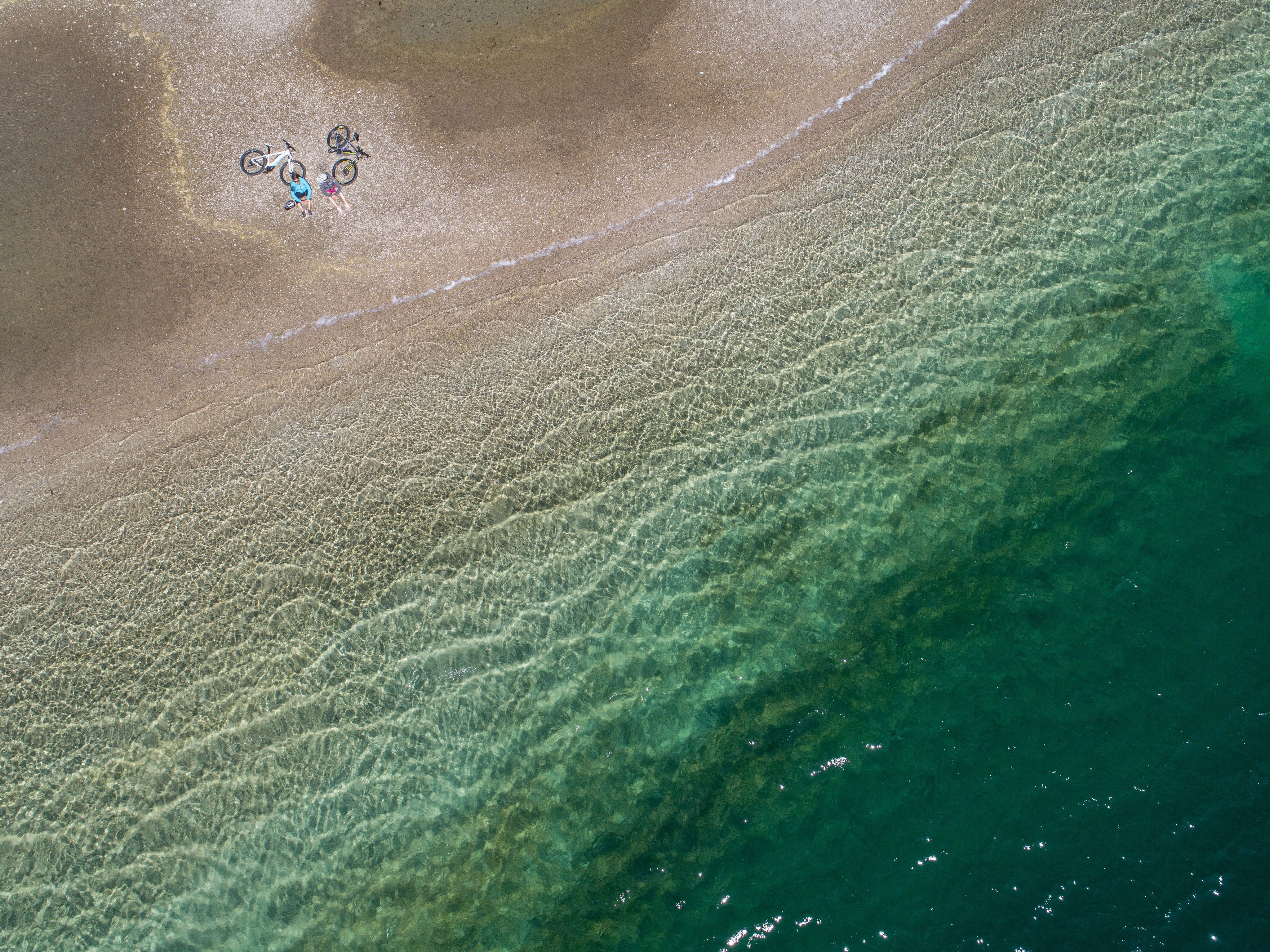
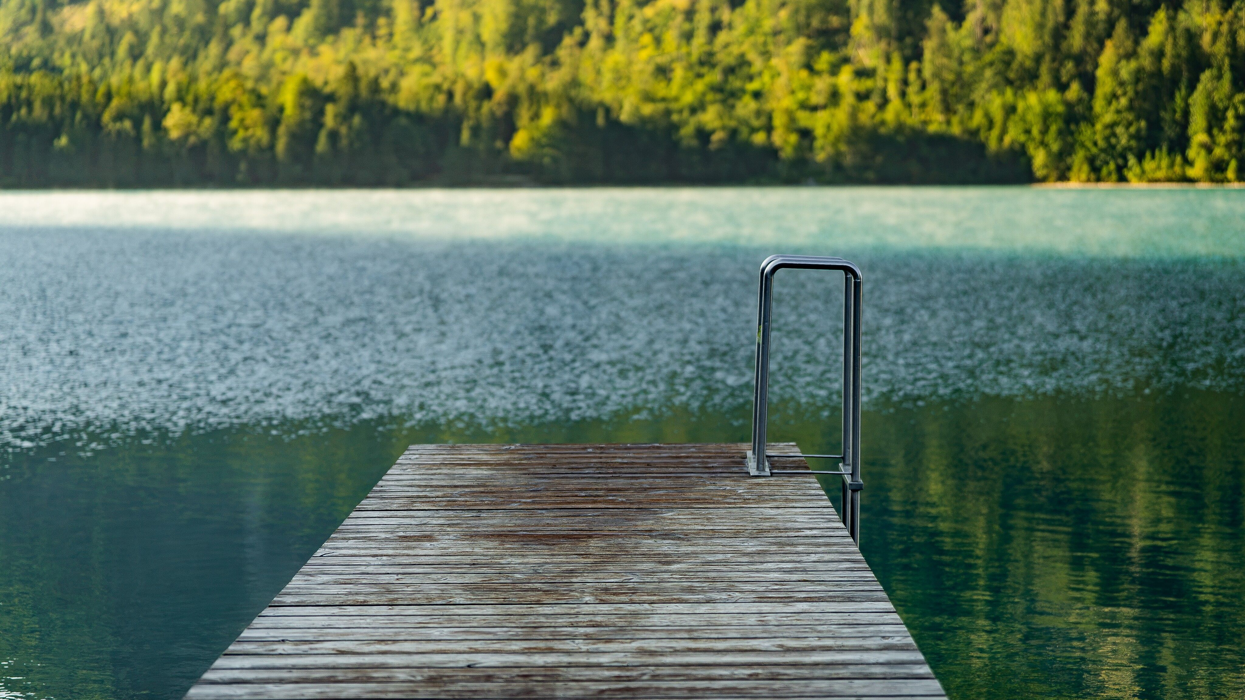
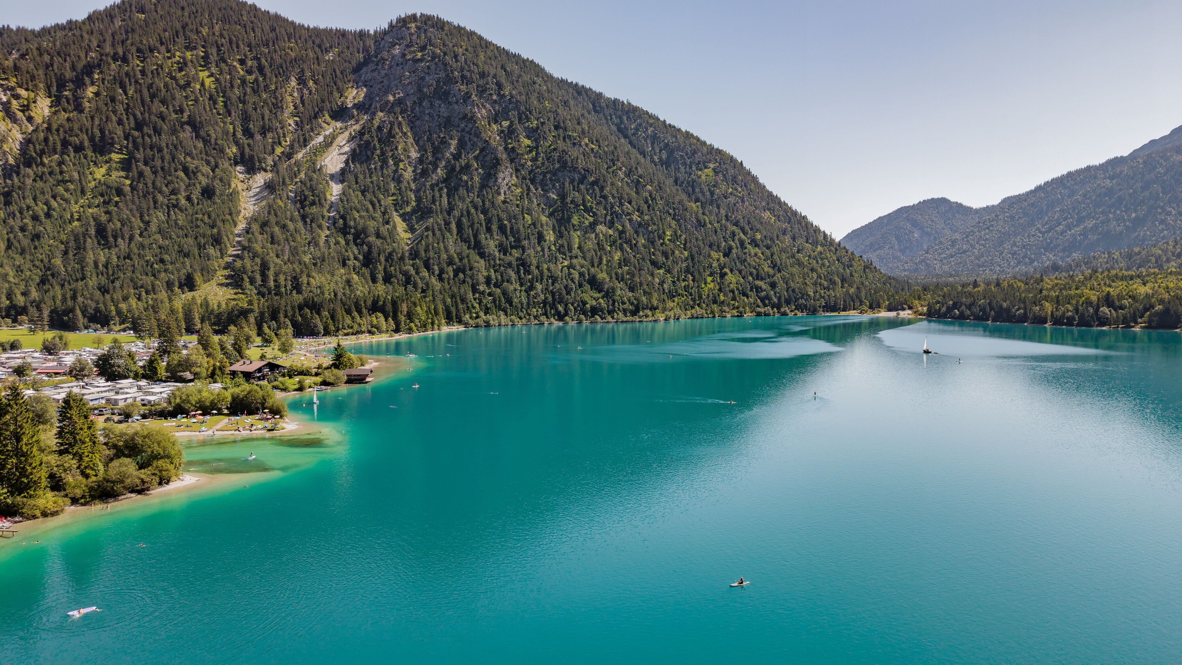
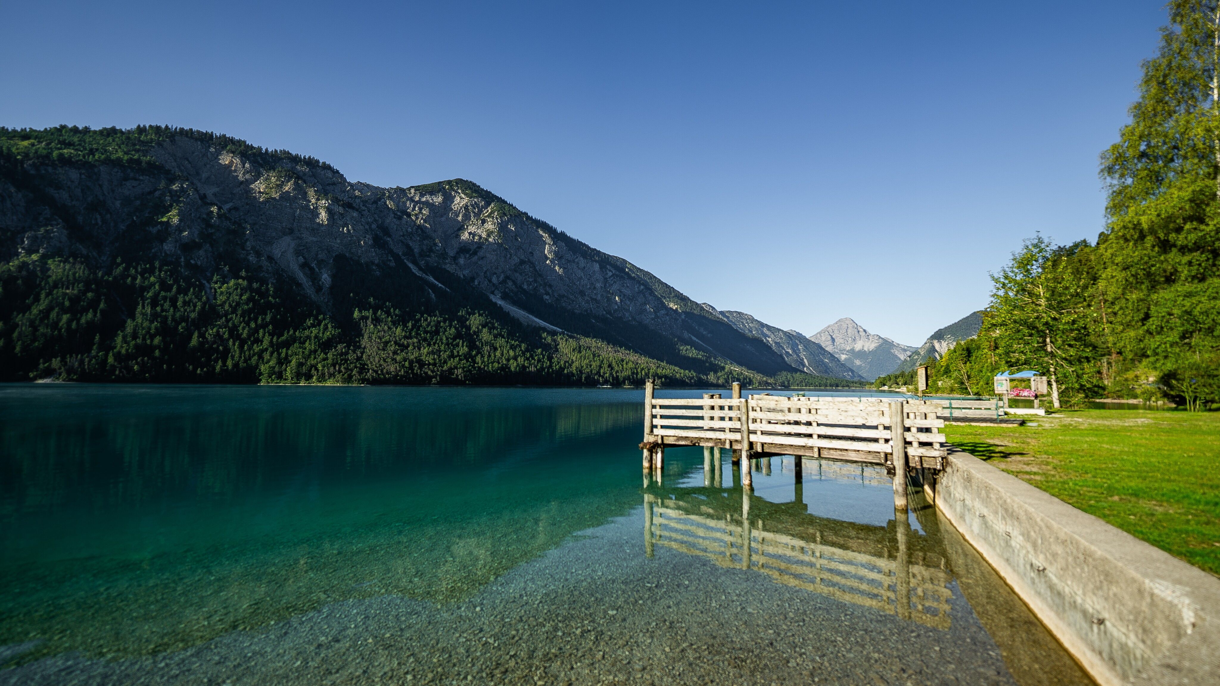
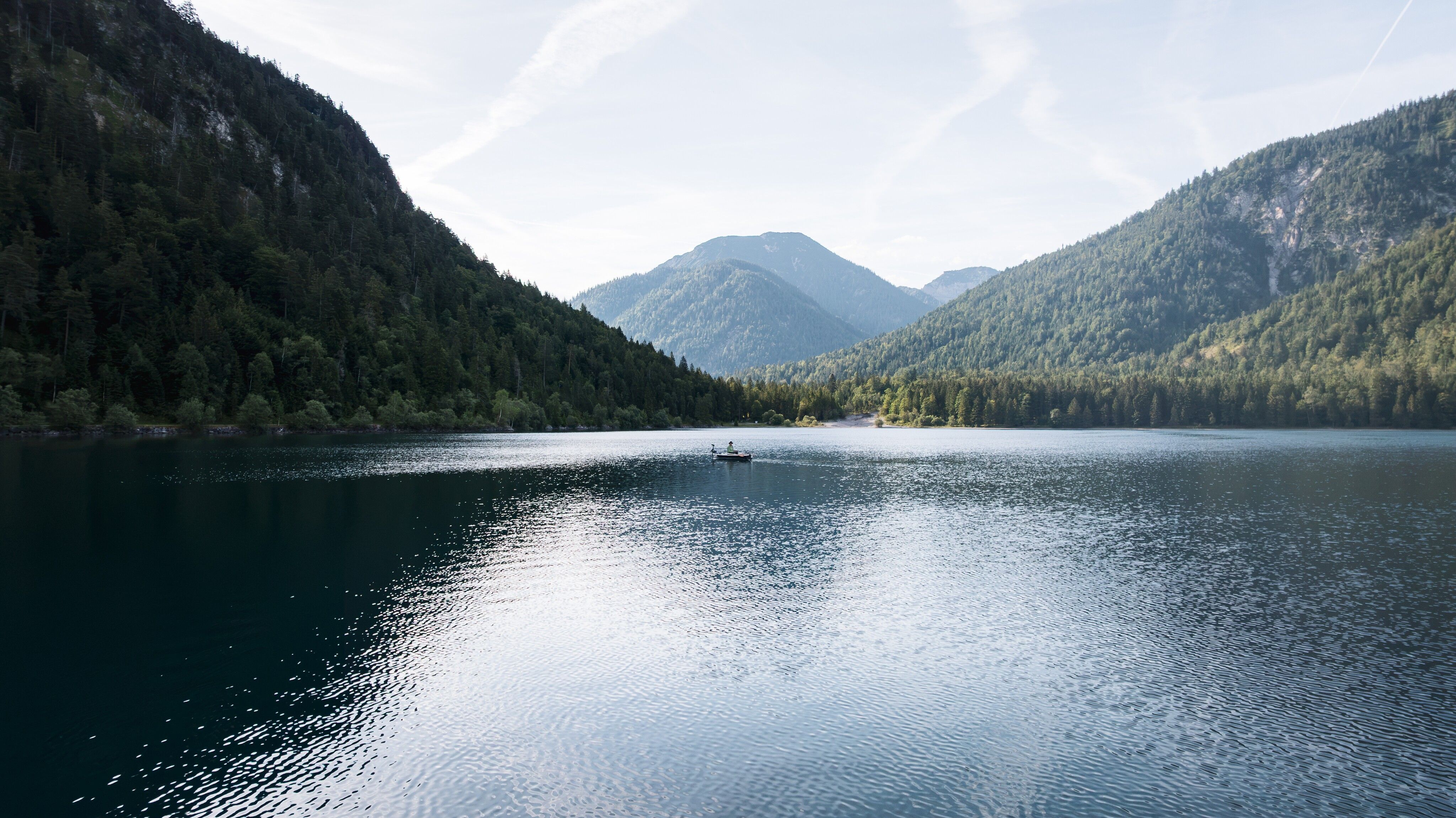
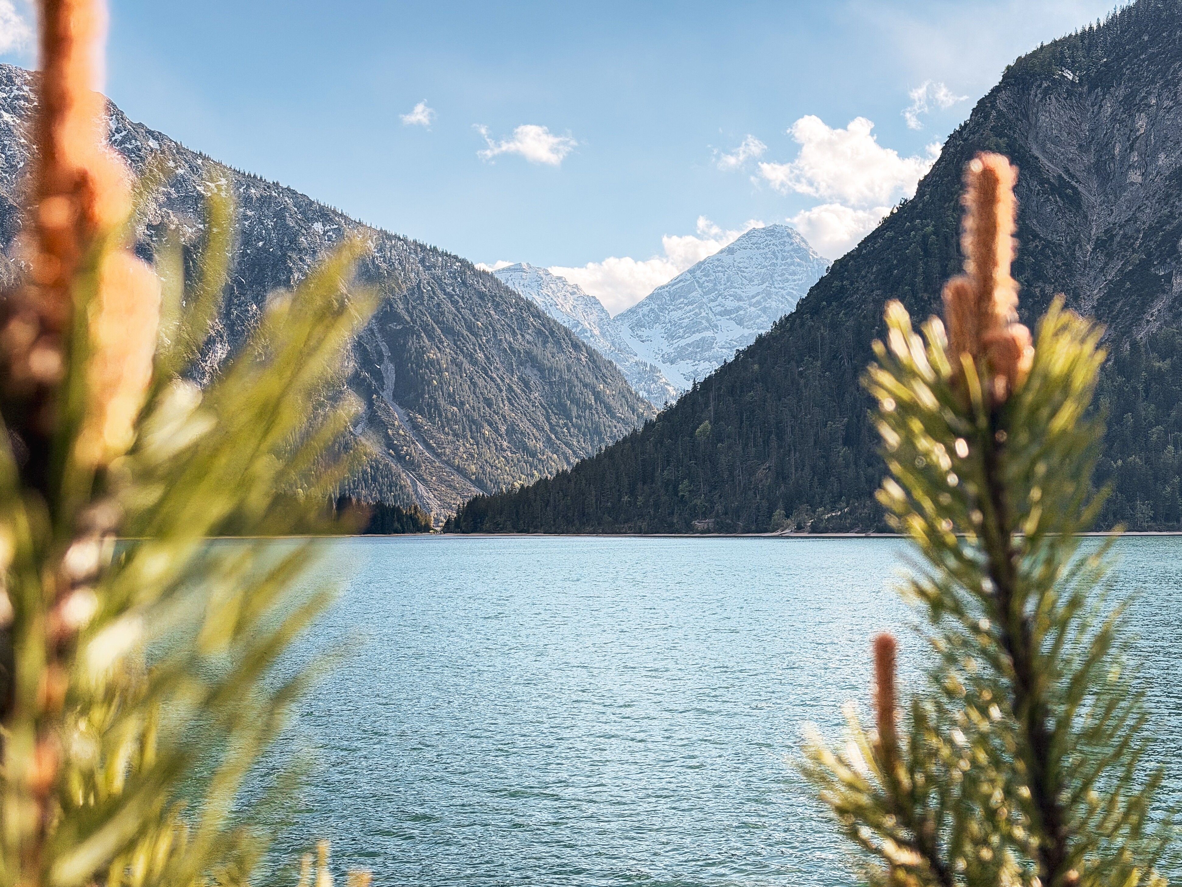
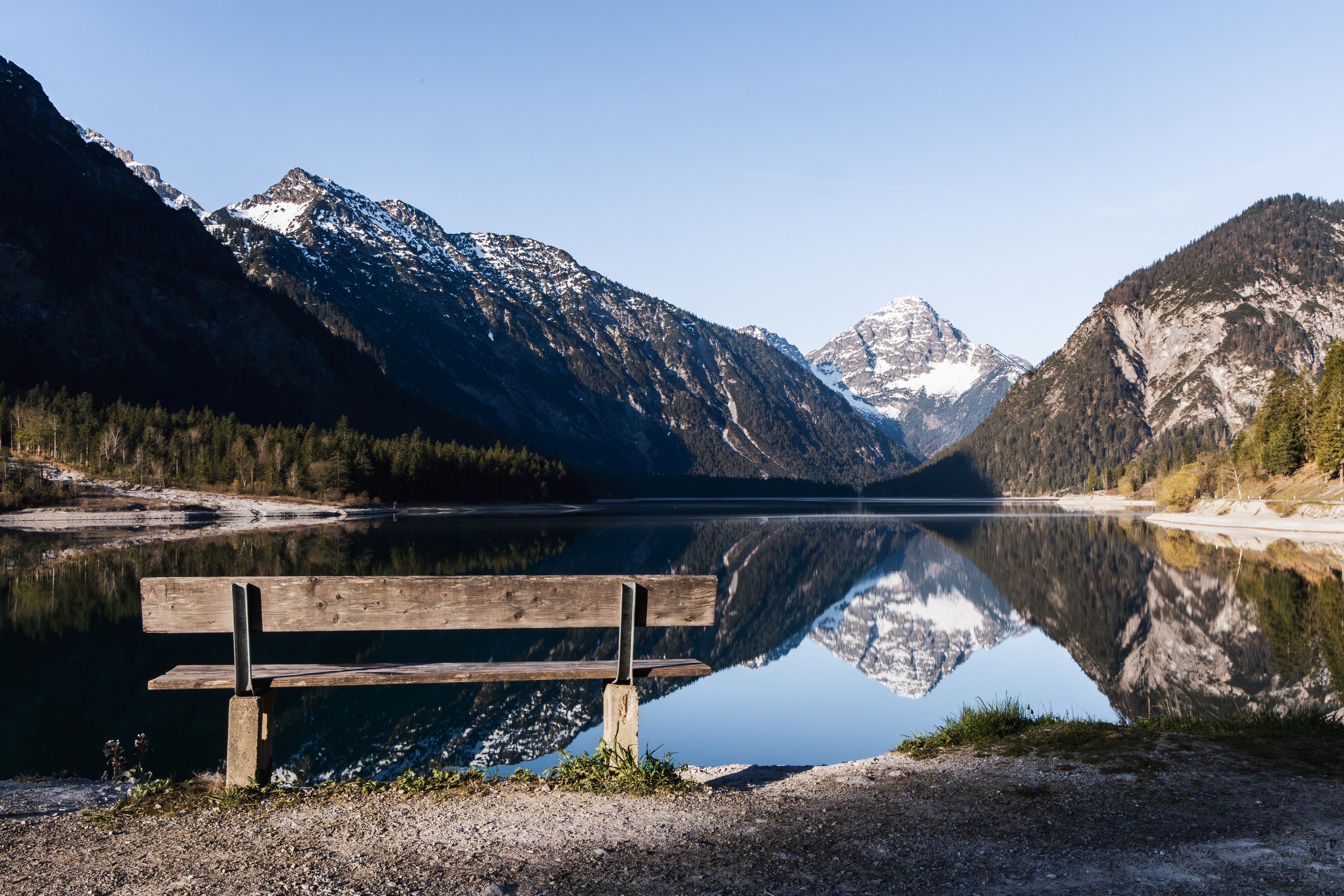
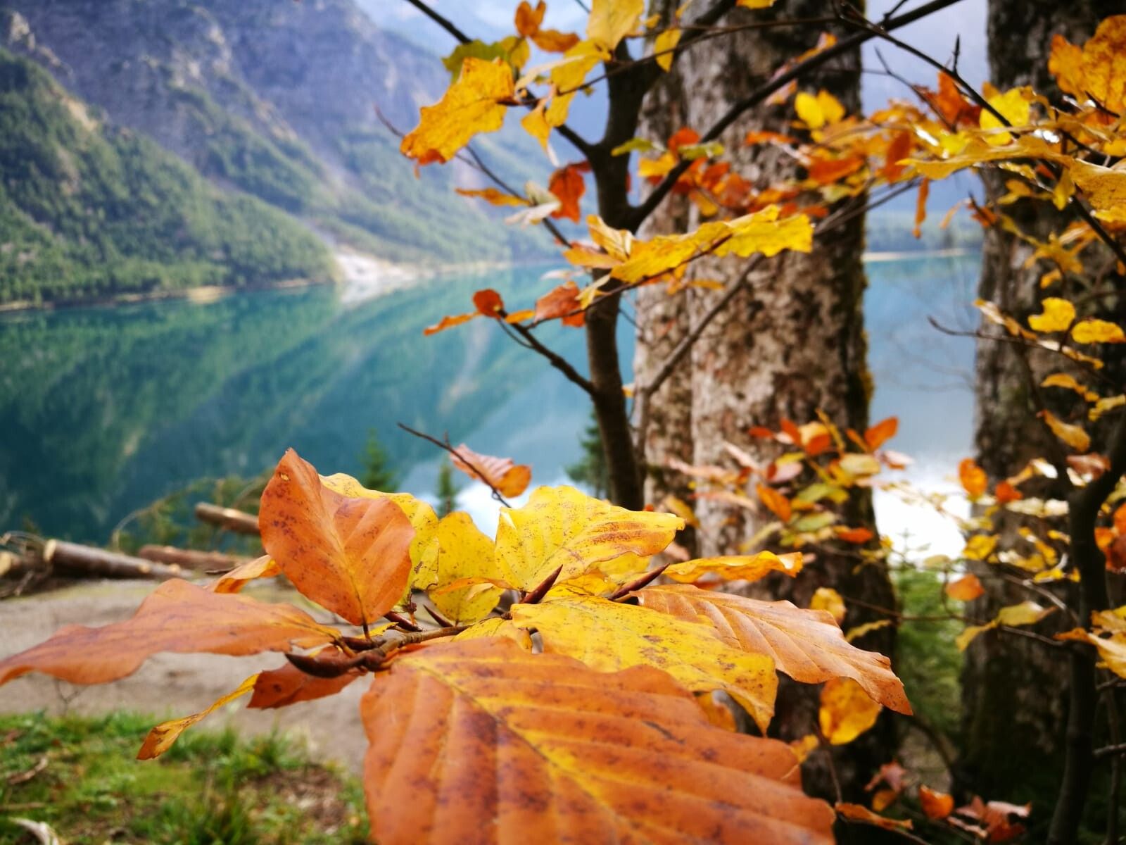

The starting point of the hike is the Seespitze car park. Take the wonderful panoramic trail along the Zwieselberg to the eastern shore of the lake. There are several nice resting places along the way - including a Hollywood swing.
After the Hotel Forelle at the end of the Plansee, you reach your destination, the Forelle boat stop. The nearby MusterAlpe also offers a great opportunity for a leisurely stop here. Refreshed, you can then make your way back on foot - or take the waterway and return to the boat stop at Seespitze by boat.
The sailing times of the boats depend on the weather and water level. You can find out the current operating and travel times on the Hotel Fischer am See website or at the tourist office.
The total distance for the outward and return journey on foot is 12 km. If the return journey is shortened by boat, the walking distance is only approx. 6 kilometers.
Take the circular bus line 319 to the “Breitenwang Plansee Seespitze” stop. Timetables and bus stops can be found at: Circular Bus Line 319
Alternative option: RegioFlink on-demand shuttle – the flexible mobility service provided by VVT
The Reutte Nature Park Region can be reached by car as well as by public transport: Arrival & Mobility
Parking: Seespitz car park


