Mountain hikes Run "Innertal" Gerlos

Gerlos, Zillertal / Zillertal Alps
Route length: 7.1 km

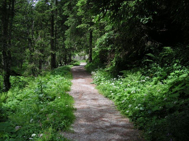
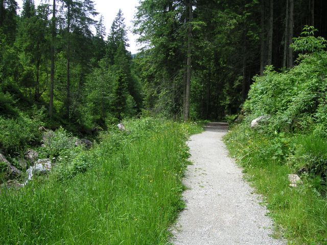
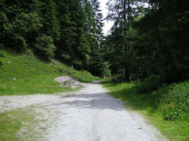
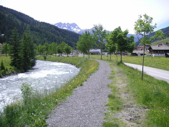
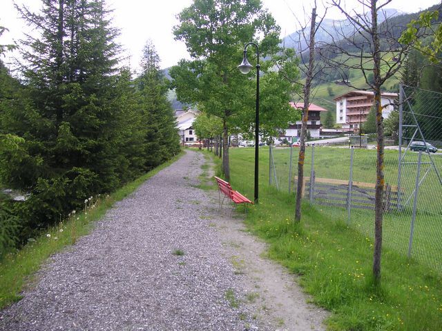
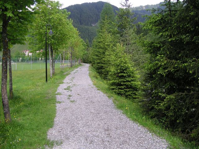
Profile of the route: easy running and Nordic walking route Road surface: gravel, forest and meadow paths
Tour information

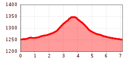
  • Length: 7.1 km
  • Elevation uphill:93 hm
  • Elevation downhill:93 hm
Highest point1,351 m

Starting point

village center - playground "Bärlihöhe"
Source: Zillertal Tourismus GmbH

Description

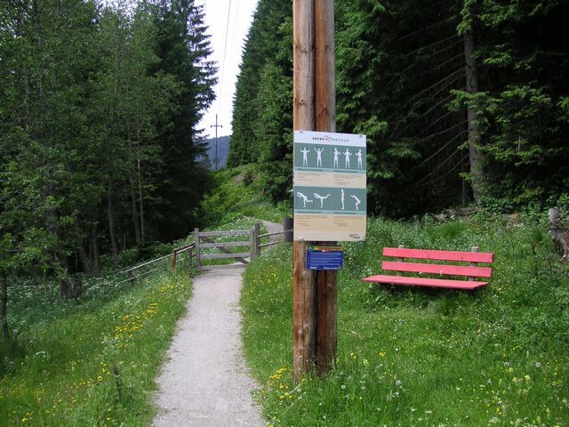
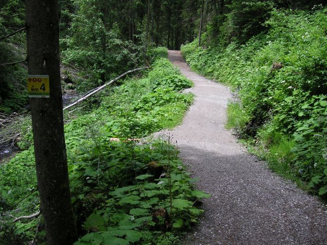
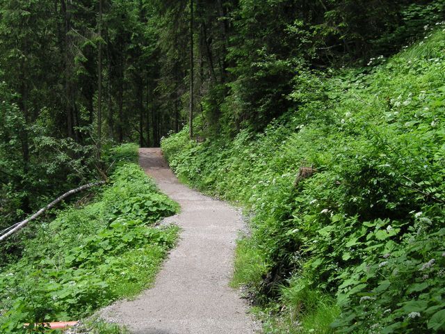
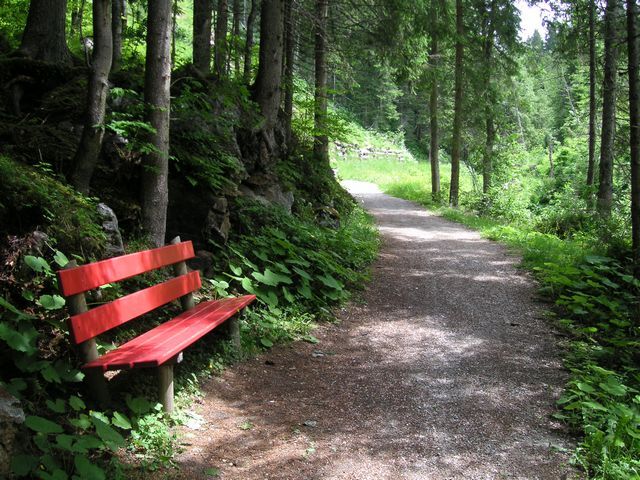
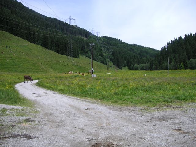
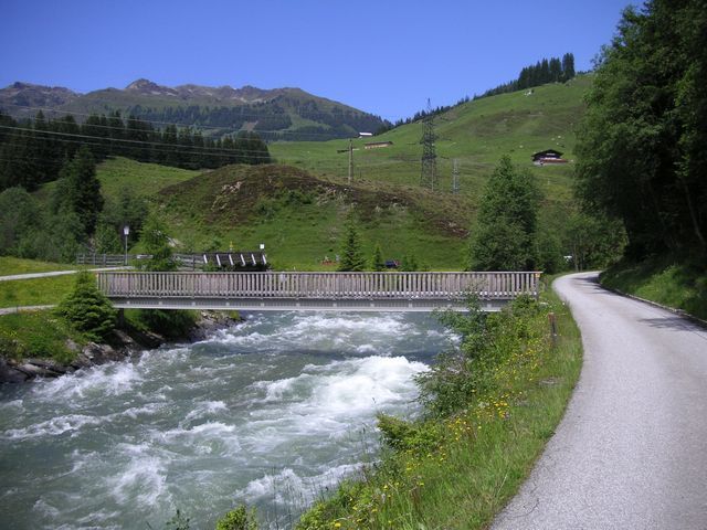
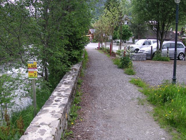
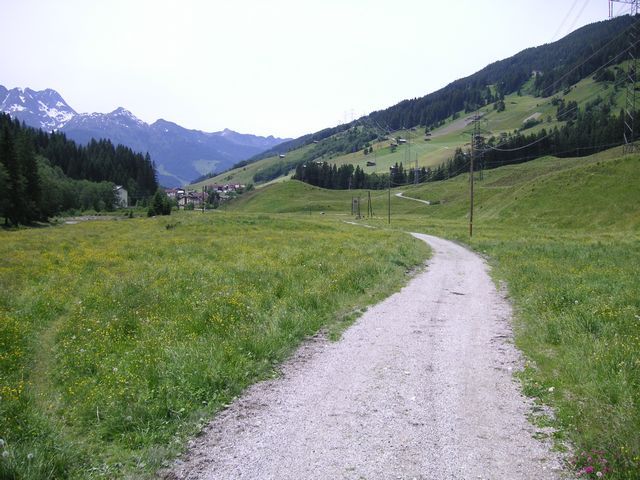
Route: From the playground „Bärlihöhle“ to the east mostly along the „Gerlos“ creek. From the power station along the creek first over meadow paths and then on a forest path, passing a relaxation point until the turn at „Klausboden“. Back mostly a similar route, only from the power station along the creek.

Weather

Today

mainly clear
25°C/13°C
50%3.3l5 km/h

Fri

light rain showers
23°C/13°C
75%13.1l5 km/h

Sat

light rain showers
18°C/11°C
70%10l5 km/h
Go to weather forecast

More tours in the surrounding area

Newsletter

The mountain is calling? So does our newsletter!

In our monthly newsletter we reveal the best holiday tips for Tyrol.