
Opening hours:Open today
Place:Vent
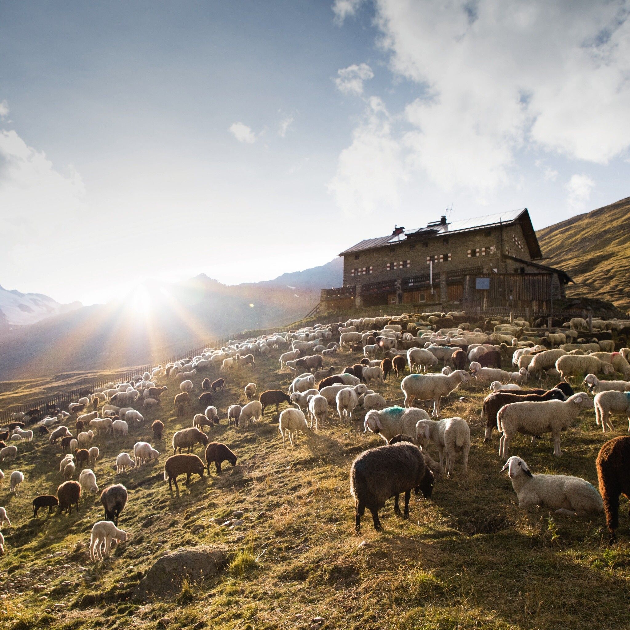
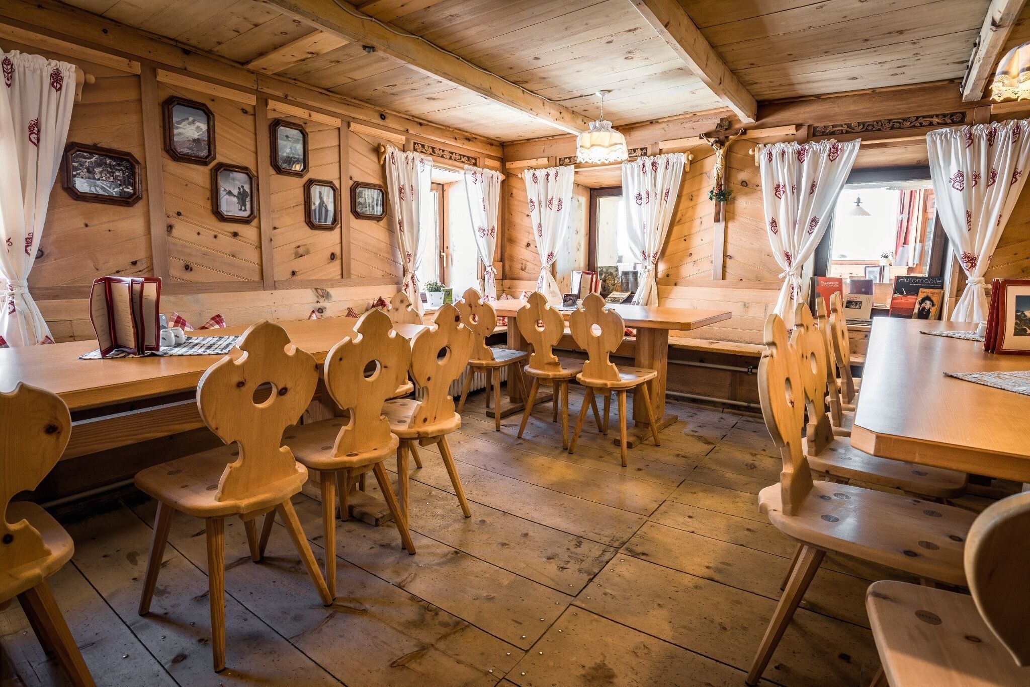
:Alpine pasture / hut / mountain restaurant
VENT -> SAYKOGEL
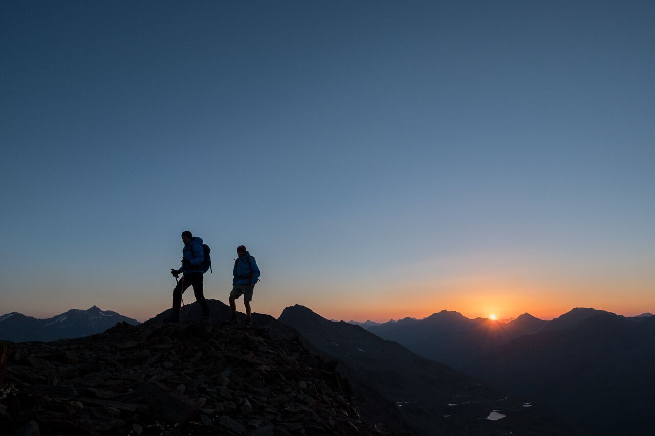
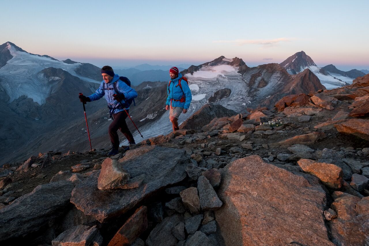
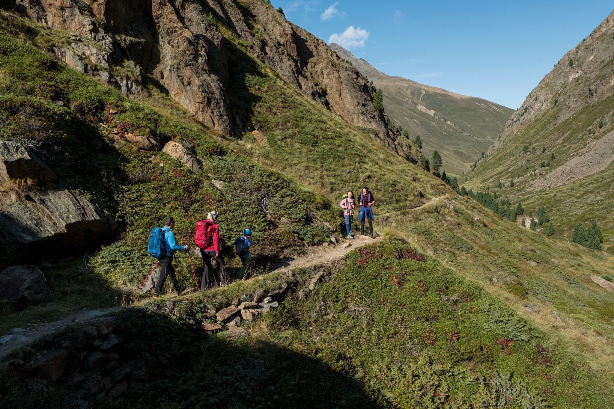
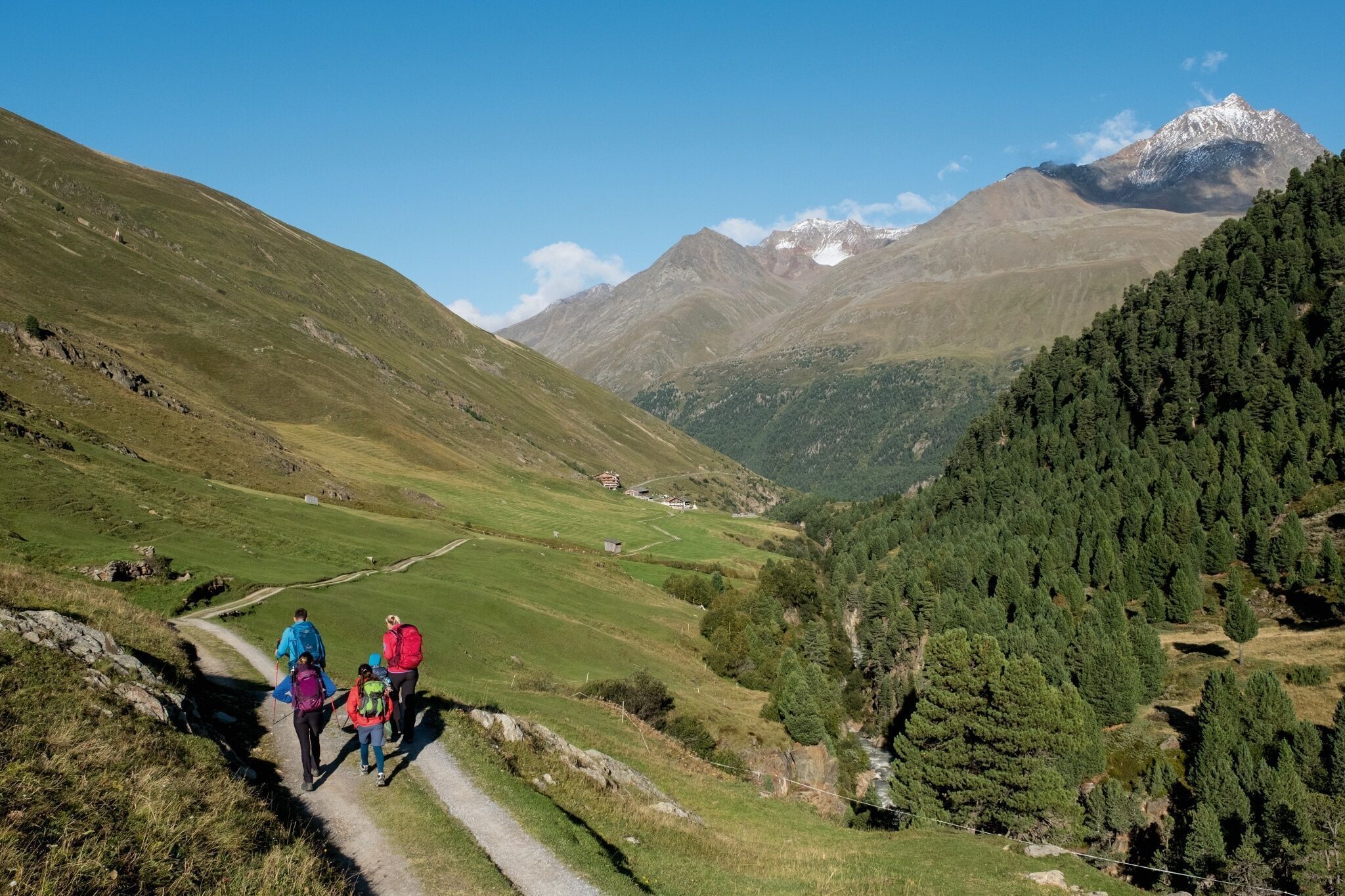
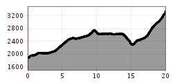
From Vent over the meadows and the suspension bridge to Rofen. From there continue to the material cable car of the Vernagthütte and further through the impressive Rofner Gorge on a path that first rises moderately, then steeply, to the Hochjoch Hospice. From the Hochjoch Hospice, descend to the iron bridge over the Hintereisbach and in steep switchbacks to the junction to the Martin Busch Hut. Over very rocky terrain, first gently then steeply ascending to the summit (two small climbing passages in between, no rope protection available - surefootedness and freedom from dizziness required). Descent via the Martin Busch Hut possible.
Travel comfortably and safely by train to the Ötztal train station. The final stop or exit point is ÖTZTAL station. Afterwards, you can conveniently and quickly travel through the entire valley to your destination using public transport or local taxi companies! The current bus timetable is available at: http://fahrplan.vvt.at
In the mountaineering village Vent, the following parking options are available to you.
- In summer, in front of the village (parking machine, coins or EC card only) and at the valley station of the chairlift (at the cable car cash desk)
- In winter, only at the valley station of the chairlift.
Cost: €5.00 per day/car


