
Difficulty:difficult
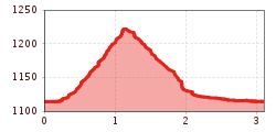
Length:11.3 kmDuration:6:45 hElevation uphill:1,010 m
Very beautiful panoramic circular hike.
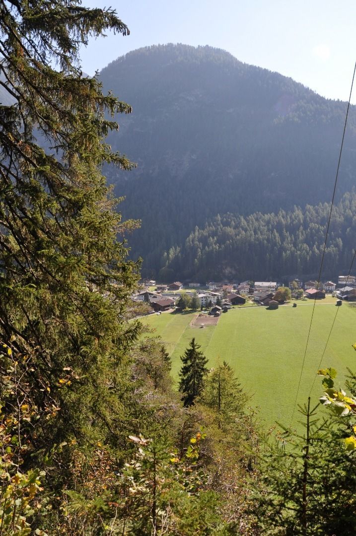
Very beautiful circular hike with wonderful views of Steeg. Your hike starts at the Aqua Nova car park and takes you east along the main road to the beginning of the village. Now cross the road and follow the "Ebene" signpost. Walk along the ascending forest path to the Ebene district and enjoy the beautiful view. Once you reach the village road, take a leisurely stroll down to Steeg and follow the tarmac field path along the flower meadows to your starting point.


.jpg")


")


.jpg")


