Mountain hikes Steineberg Loop

Pflach / Ammergau Alps
Difficulty ratings: easy
Route length: 6.7 km
Duration: 1:45 h

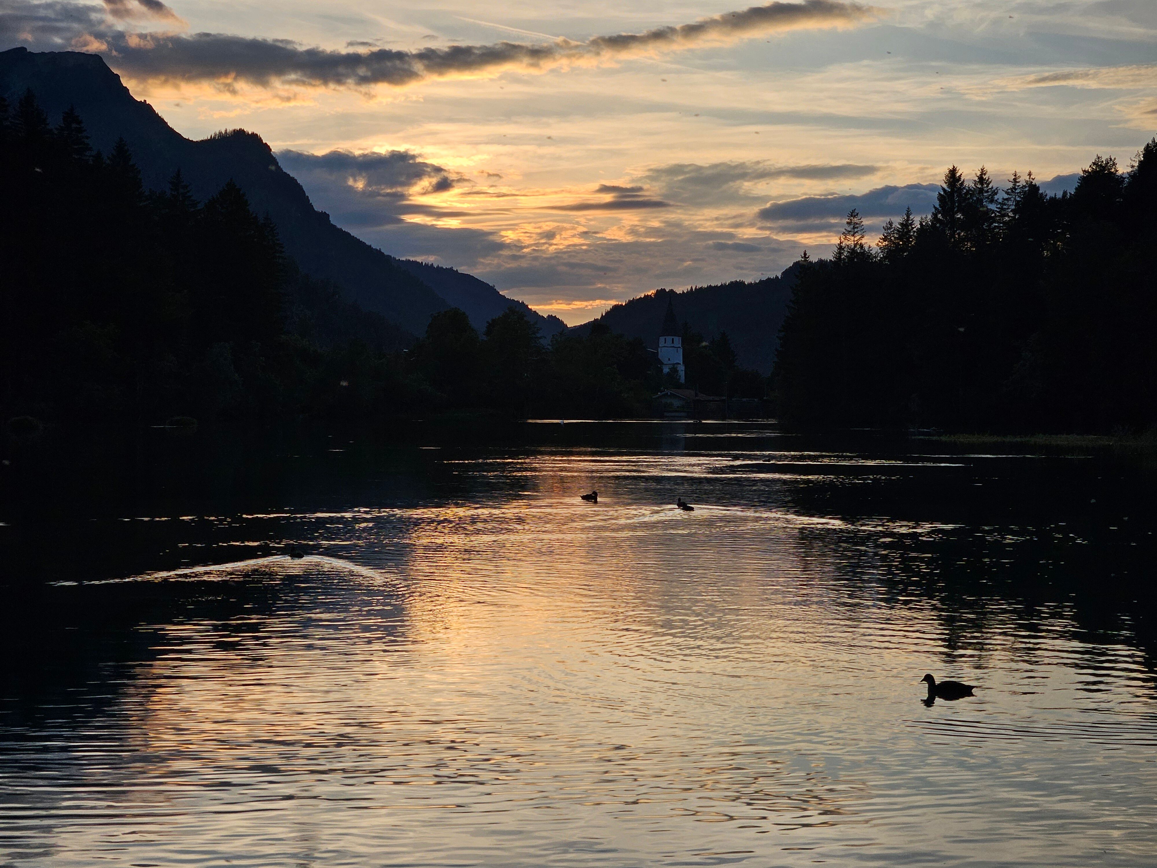
A stroller-friendly circular route with playgrounds, dining options, and fascinating nature experiences along the Lech, Archbach, and Lake Hüttenmühlsee.

Tour information

  • Requirement: easy
  • Length: 6.7 km
  • Duration: 1:45 h
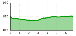
  • Elevation uphill:10 hm
  • Elevation downhill:10 hm
Highest point852 m

Starting point

Zeillerplatz square

Finishing point

Zeillerplatz square
  • Fitness level 2 / 6
  • Technique 1 / 6

Features

  • Circular route
  • Suitable for families
  • suitable for pushchairs

Best time of year

  • January
  • February
  • March
  • April
  • May
  • June
  • July
  • August
  • September
  • October
  • November
  • December

Trail condition

Easy hiking trail, partly asphalt, partly gravel

Equipment

Light hiking boots, hiking backpack, functional clothing, waterproof clothing, sun protection (sun cream, sunglasses and a hat), first aid kit, hiking map (printed or digital), mobile phone, plenty of water and food.
Optional: hiking poles
Equipment should always be adapted to the season, weather conditions and personal experience.
Source: TVB Naturparkregion Reutte

Description

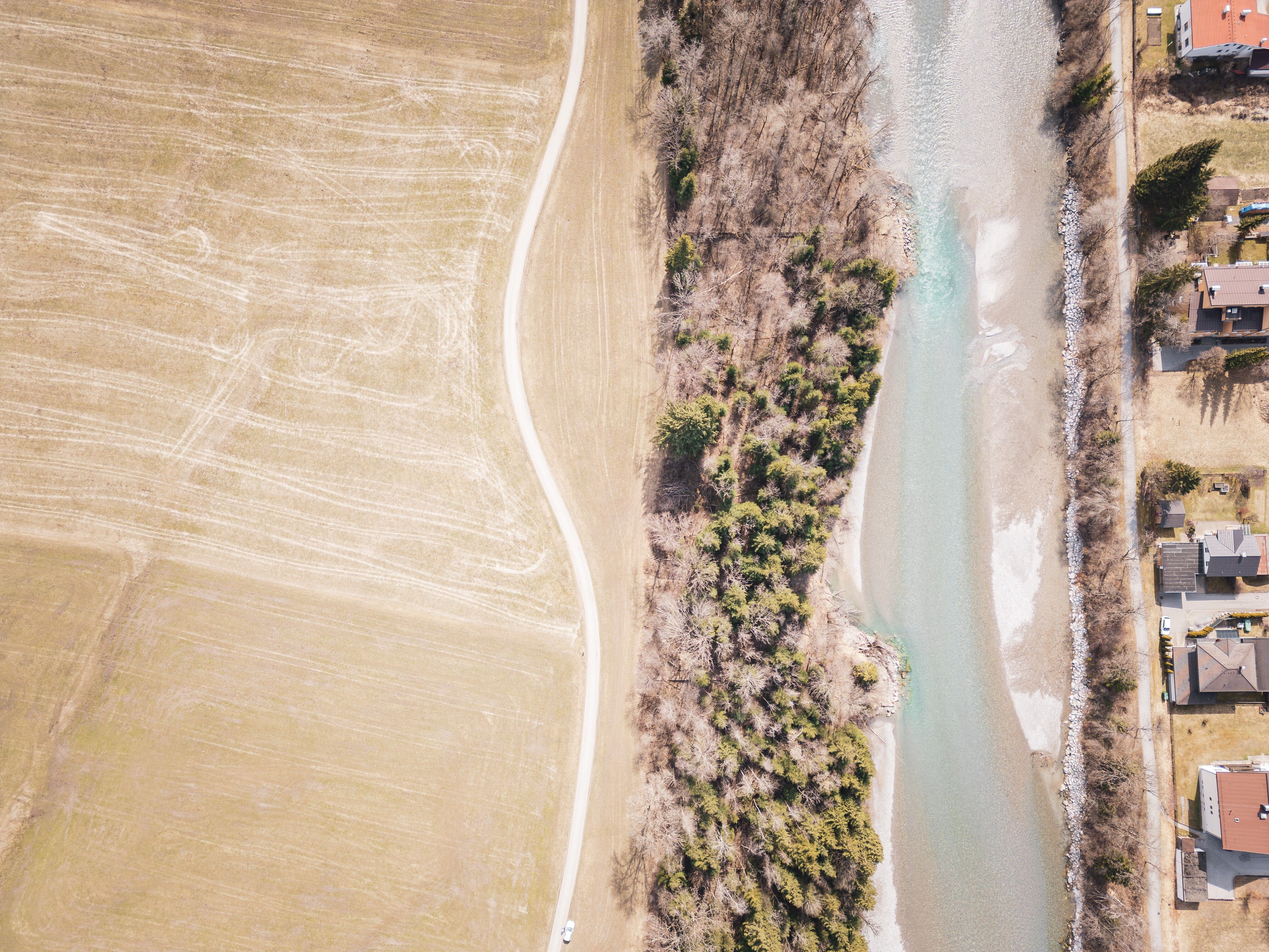
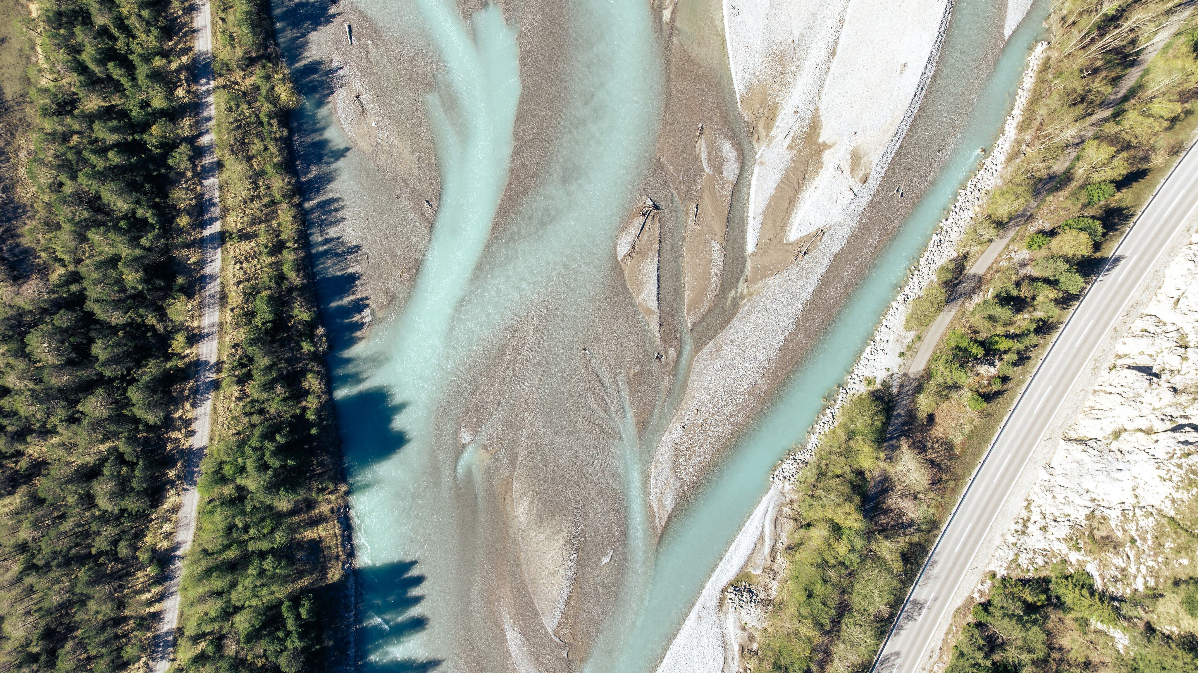
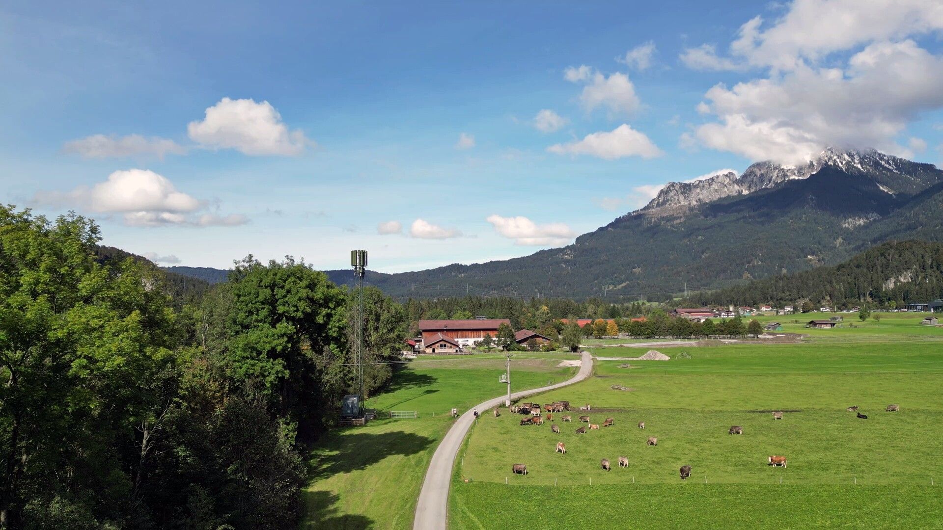
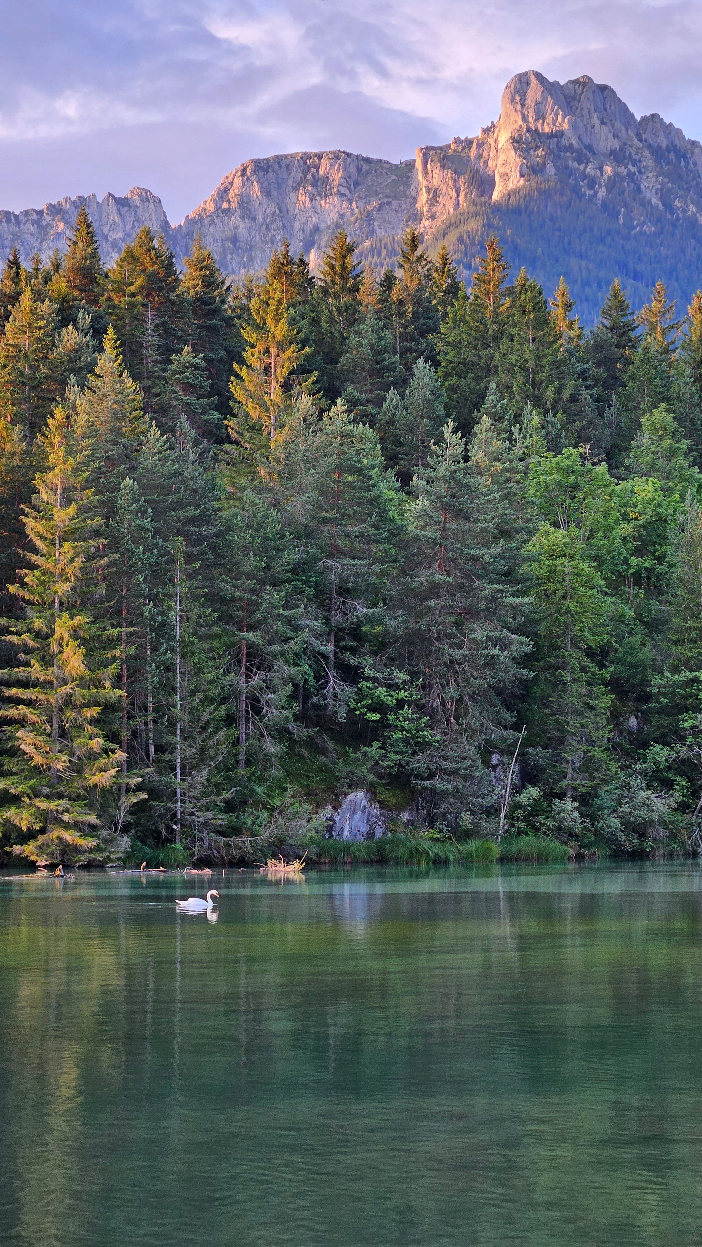
The Steineberg Loop is a 7 km circular route, starting at Zeillerplatz in Reutte’s Untermarkt district. This family-friendly trail takes you through picturesque landscapes along the Lech River, making it an ideal walk for strollers. Along the way, you will find three playgrounds and several dining options.

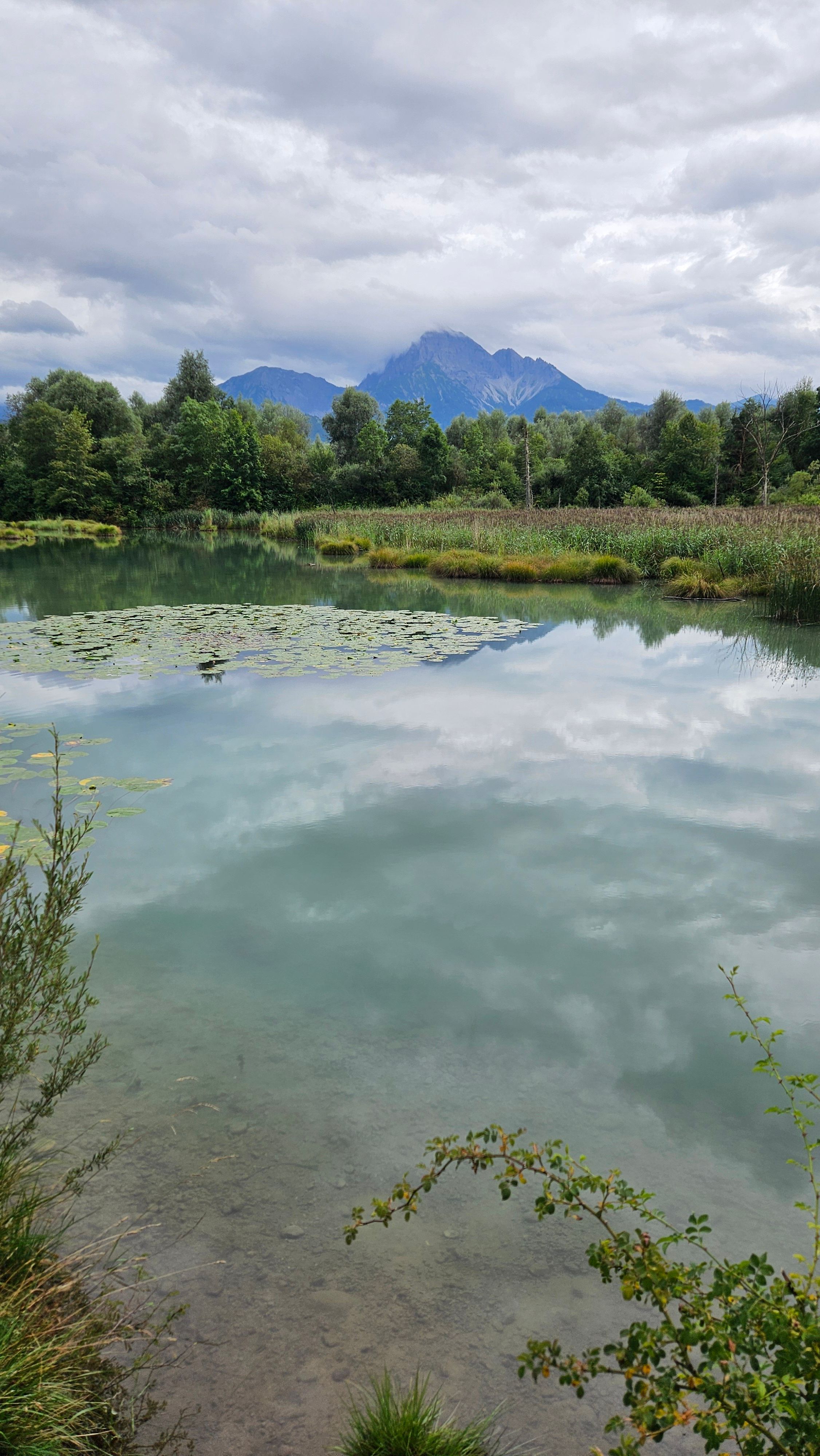
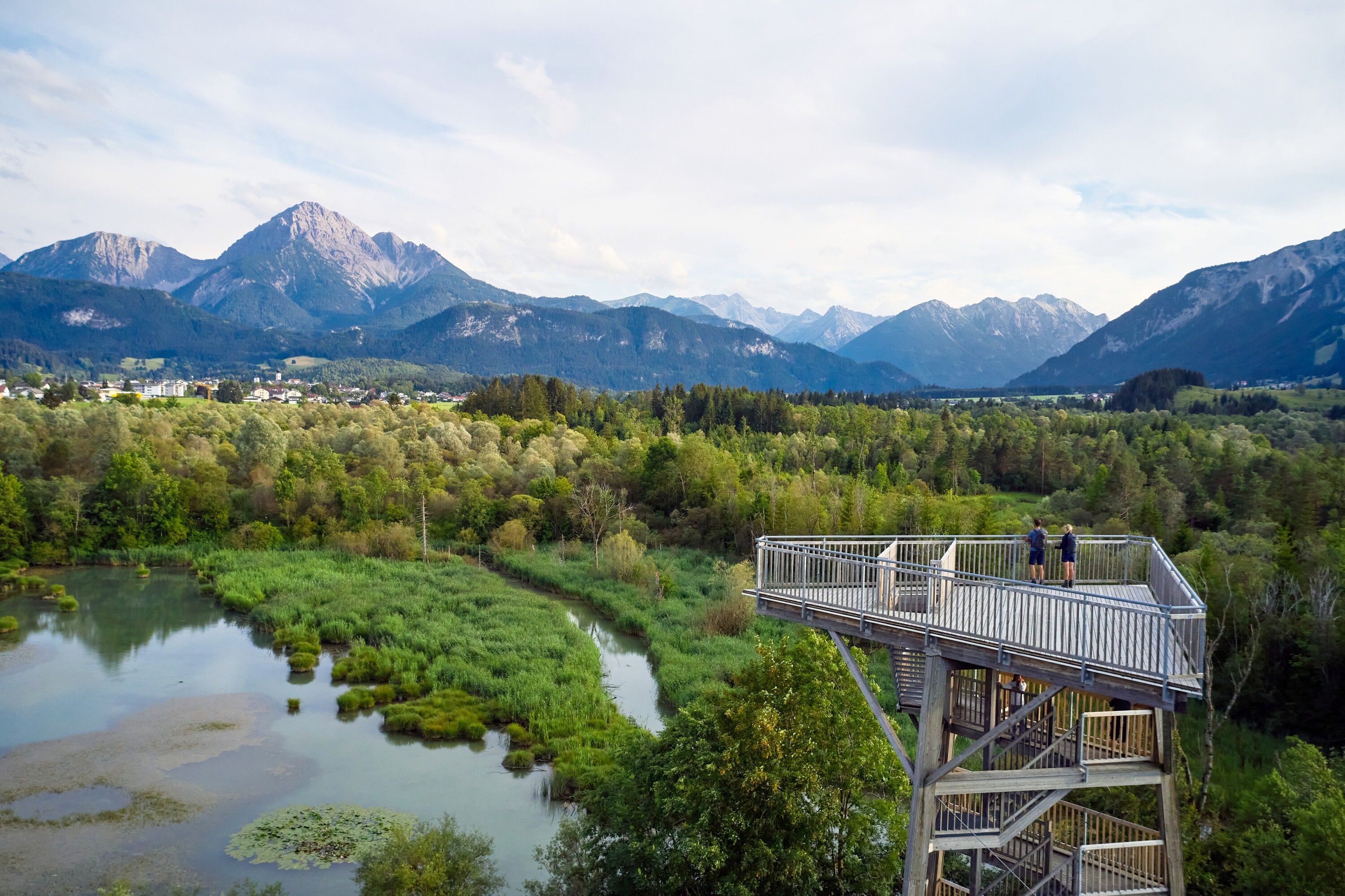
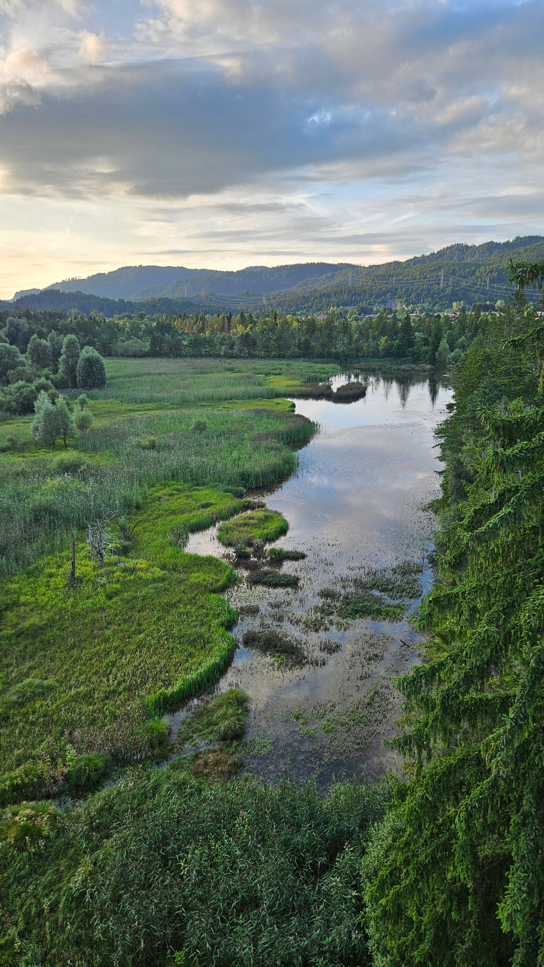
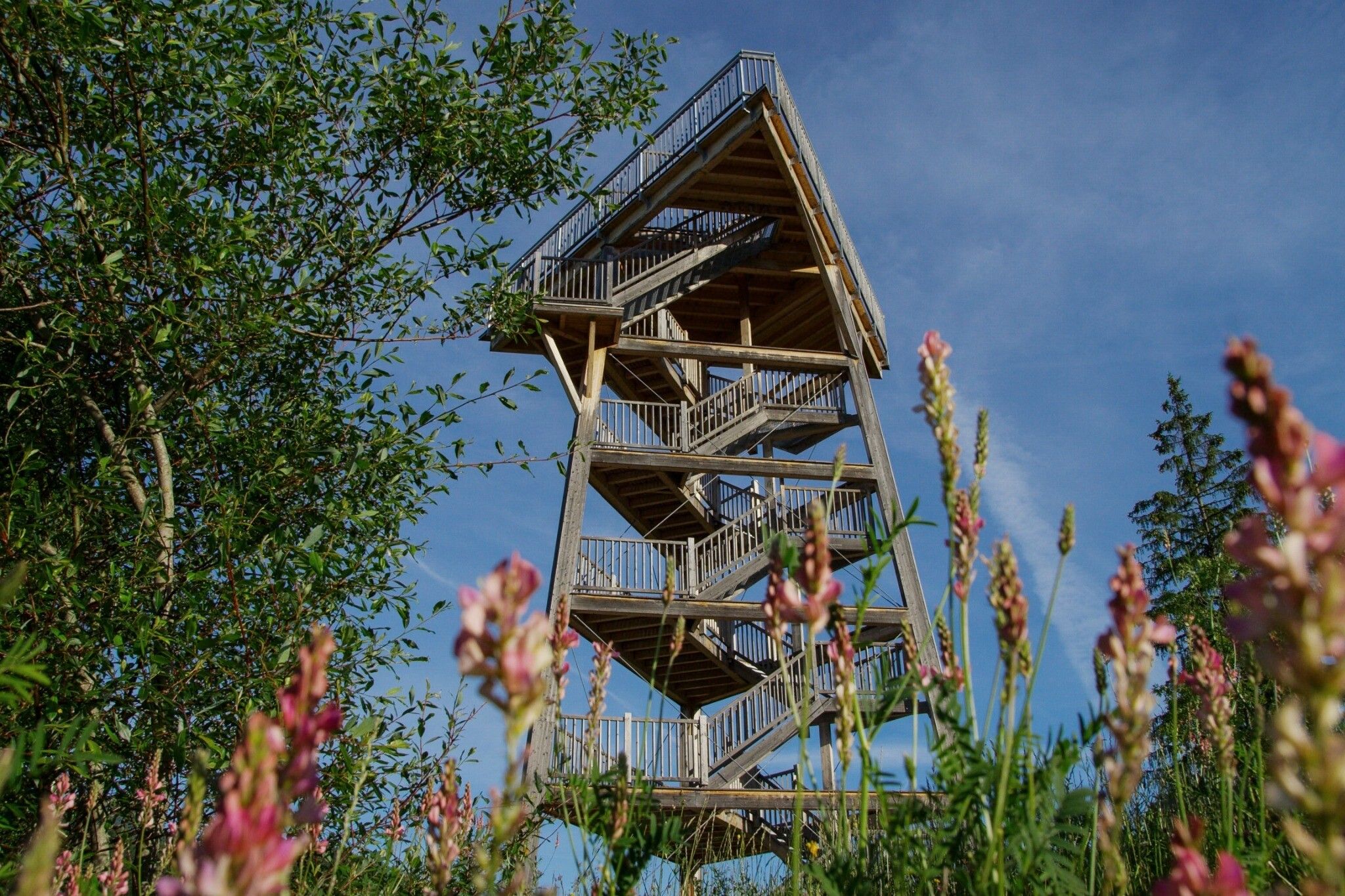
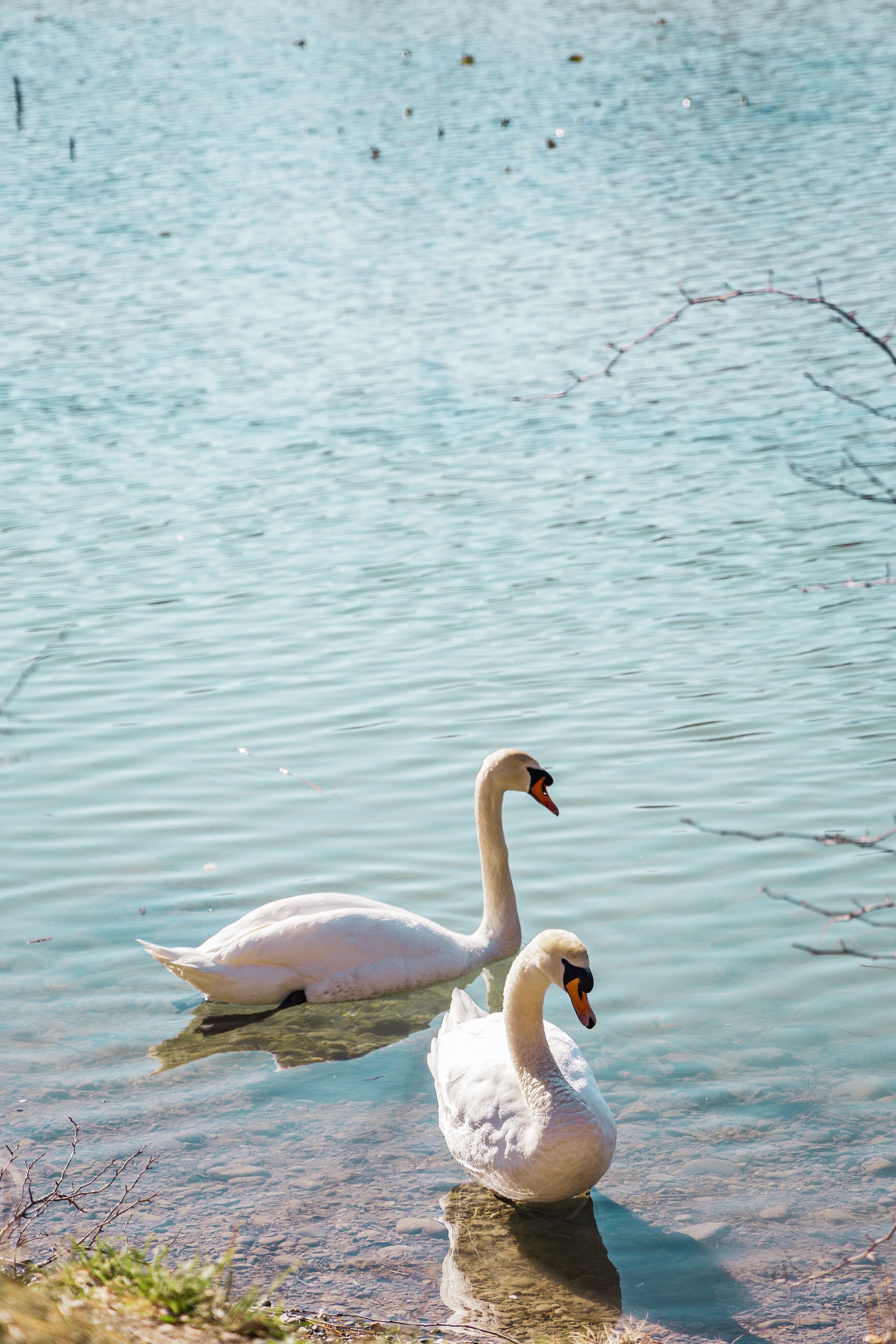
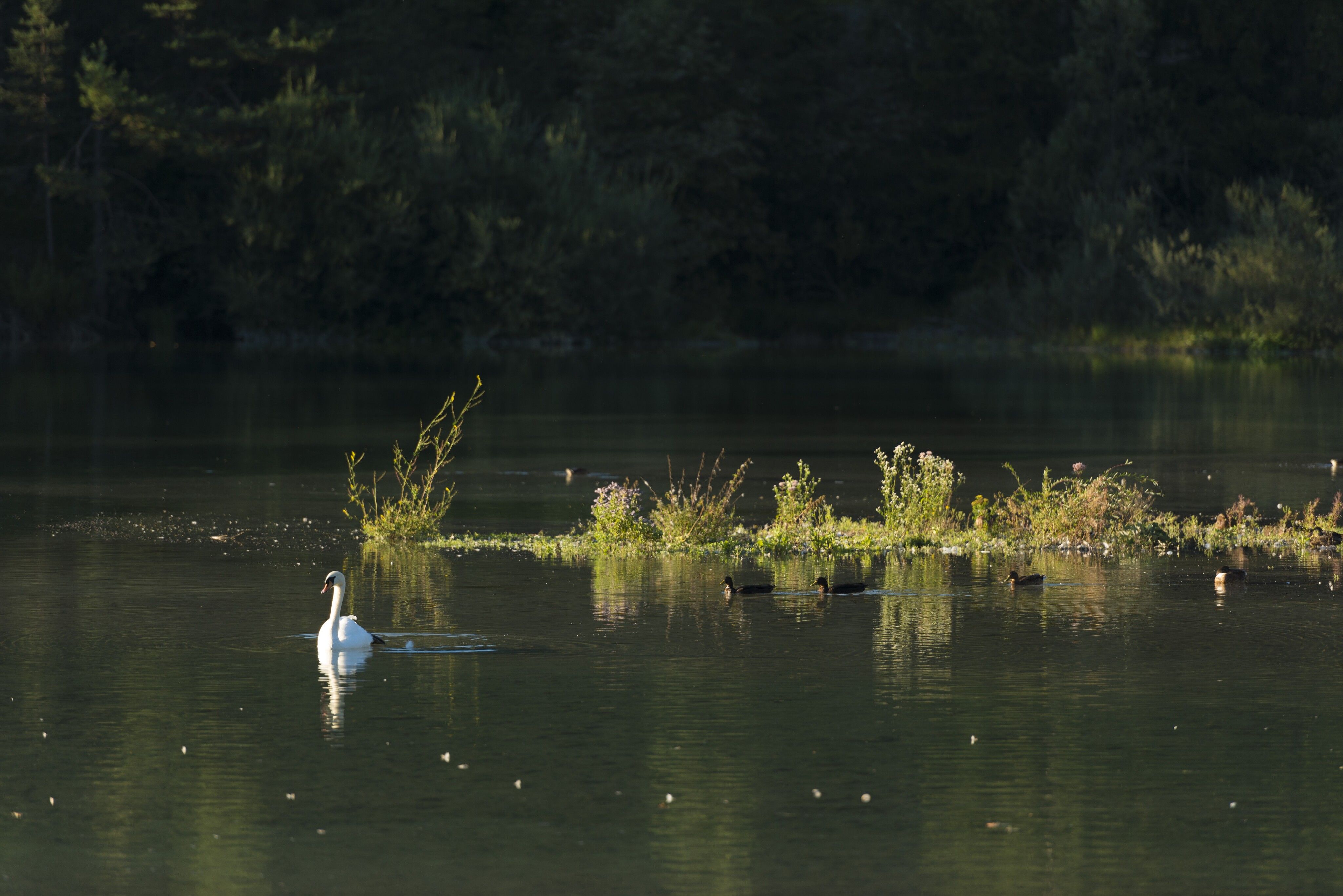
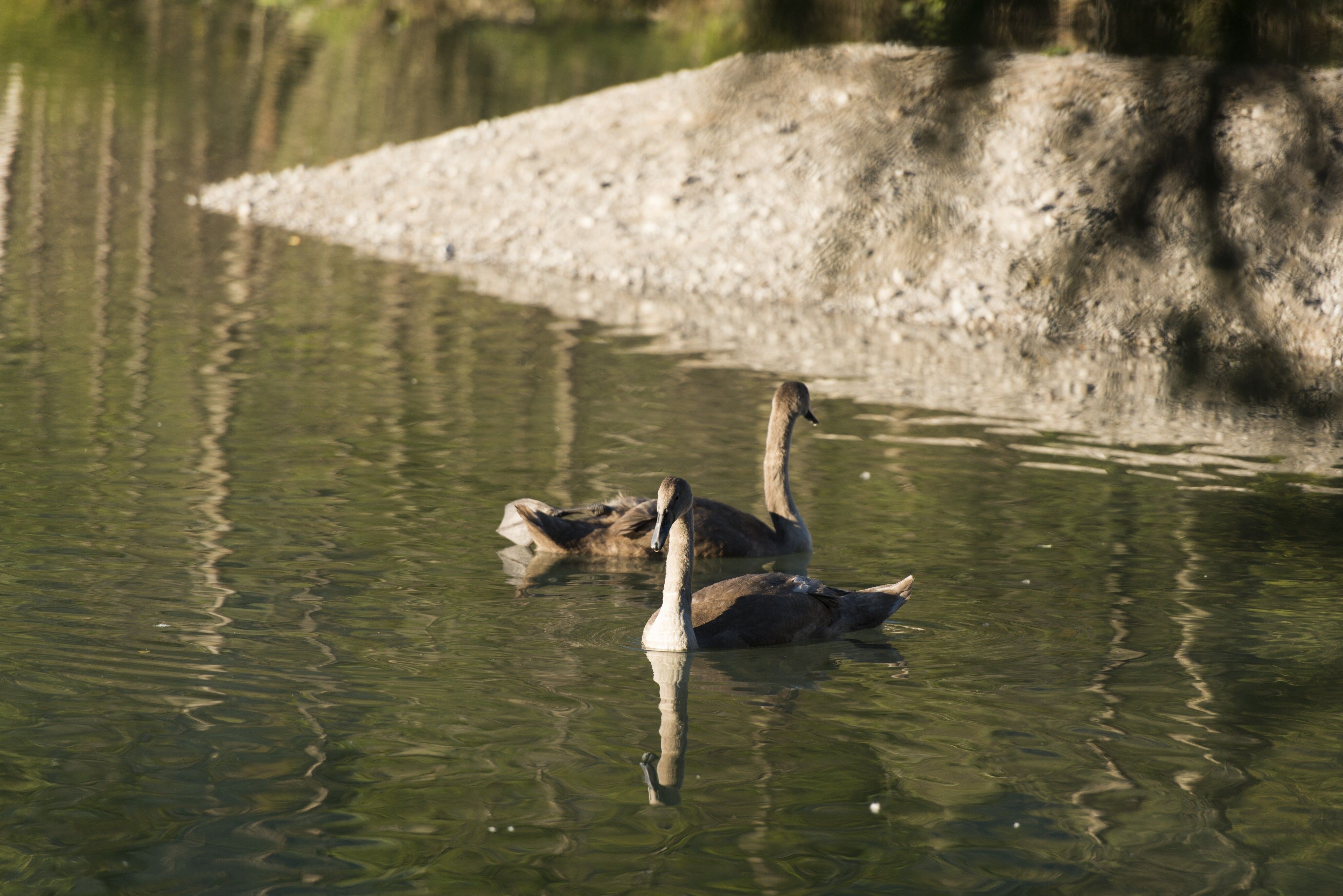
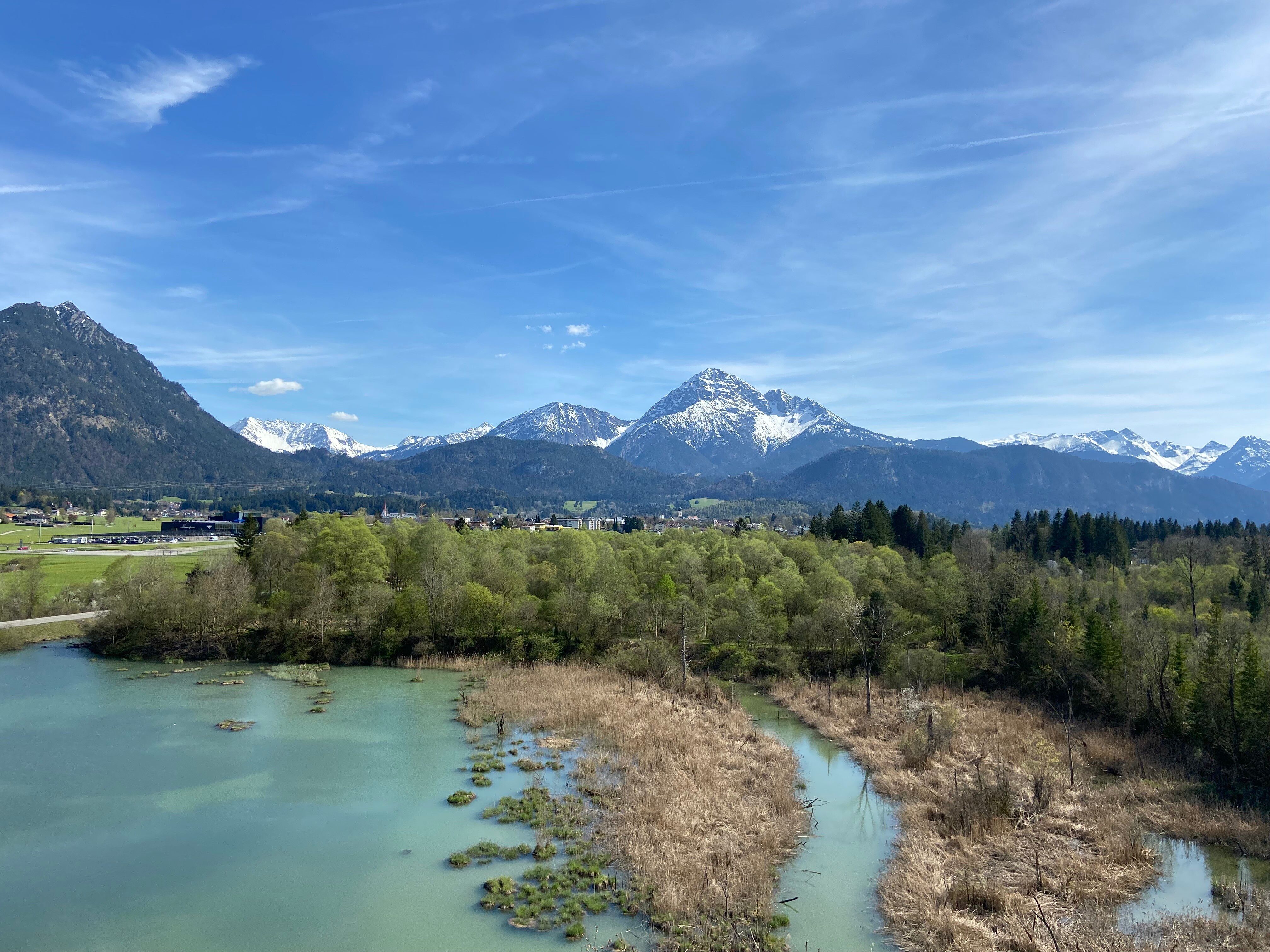
From Zeillerplatz, the path leads across the Lüß fields, always running parallel to the Lech, until you reach Pflach. Here, you enter the Pflach alluvial forest, a valuable nature reserve that takes you directly to the birdwatching tower. Standing 18 meters tall, this tower offers a fascinating view over the treetops and the region’s diverse birdlife. The surrounding ponds and still waters provide an ideal habitat for numerous water birds.

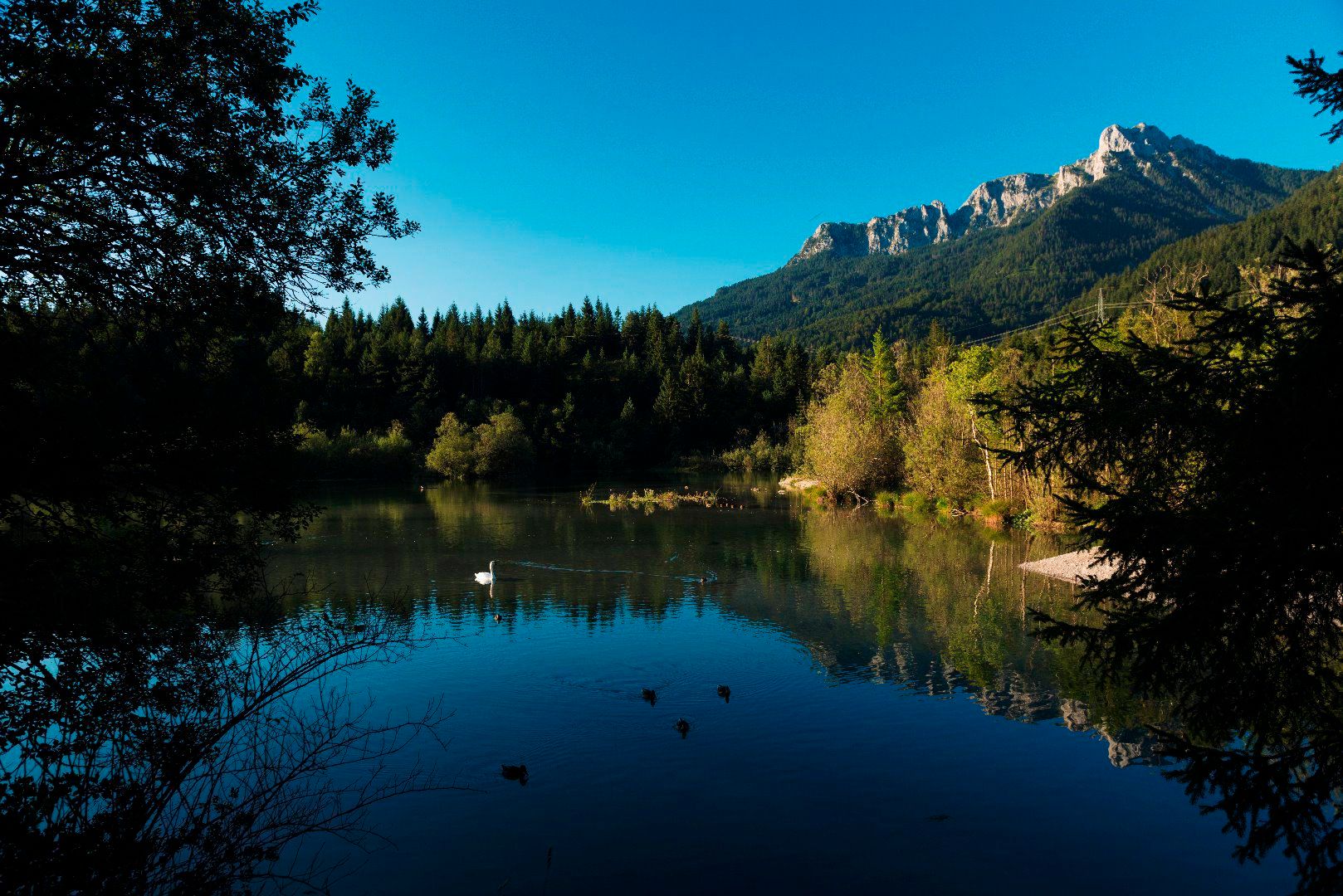
The trail then follows the shallow water lake for about 250 meters, before continuing along the Archbach. Here, you will reach the Hüttenmühlsee lake, a small reservoir that is particularly popular with birdwatchers due to its rich biodiversity. Passing through the Archbach settlement and the vast Mühler fields, the route finally leads back to Reutte, where it ends at Zeillerplatz.

Getting here

  • Arrival by public transport

    Take bus line 1, 2, 3, 9, 100, 110, 120, 150, 160X or 319 to the "Reutte Bahnhof" stop or the train to the Reutte train station. There are a few more stops along the route that allows alternative entry- or exit points to the tour. Timetables and bus stops can be found at www.vvt.at.
    Alternative option: RegioFlink on-demand shuttle – the flexible mobility service provided by VVT

  • Parking

    The Reutte Nature Park Region can be reached by car as well as by public transport: Arrival & Mobility
    Parking: Untermarkt car park (fee applies)

Weather

Today

partly Cloudy
17°C/9°C
45%0l5 km/h

Fri

partly Cloudy
18°C/8°C
15%0.4l5 km/h

Sat

mainly clear
20°C/8°C
0%0l5 km/h

More tours in the surrounding area

Newsletter

The mountain is calling? So does our newsletter!

In our monthly newsletter we reveal the best holiday tips for Tyrol.