
Opening hours:Open today
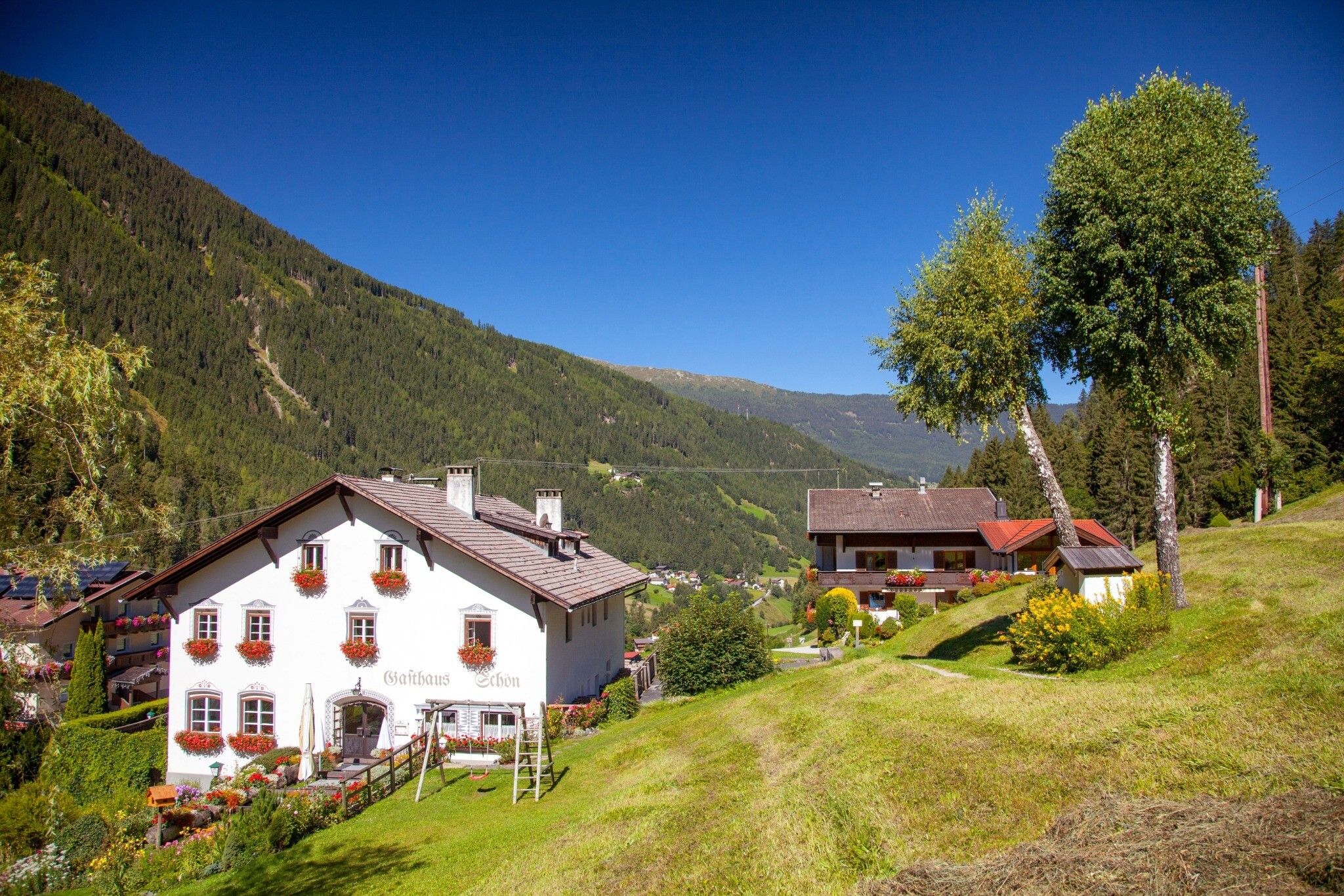
Place:St. Leonhard im Pitztal
:Restaurant
Talwanderung von Jerzens nach St. Leonhard (Wiese)
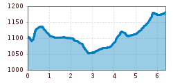
Start at the church car park in Jerzens and hike past the mill in the direction of Stuibenwasserfall (waterfall). Once on the forest path continue to walk on it to the hamlets Wiesle, Ritzenried and Schußlehn. This valley hike has no serious inclines, some sections are right next to the River Pitze until you reach Wiese in St. Leonhard. Use the public busses at Wiese bus stop to return to Jerzens (bus stop: Feuerwehr/fire station). For information regarding bus connections please check the notice boards or check in advance with your accommodation provider or the tourist information offices of Pitztal Tourism Association.


.jpg")


.jpg")


")


