
Place:
Arzl im Pitztal
:
Alpine pasture / hut / mountain restaurant
Venet circular route
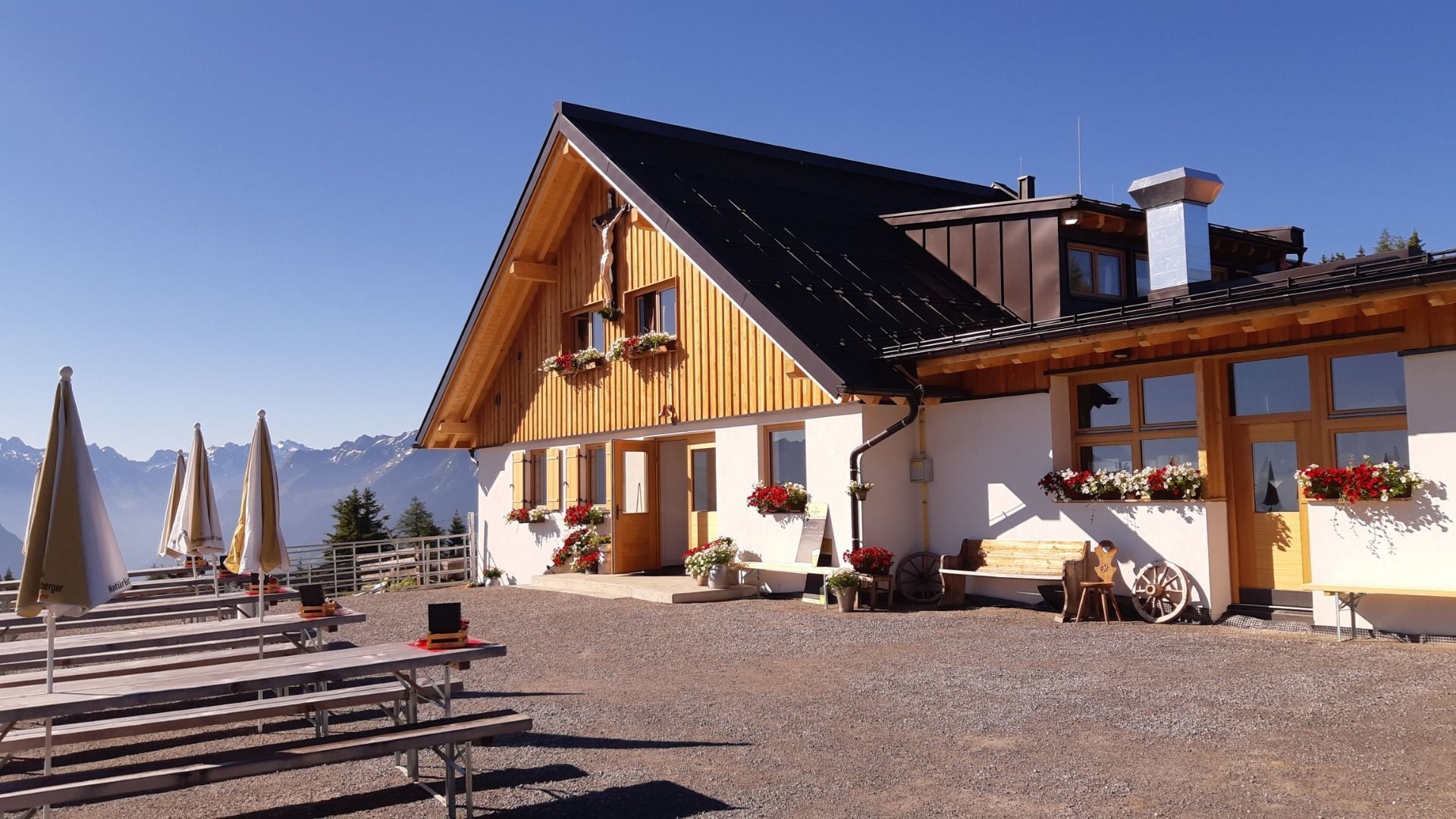
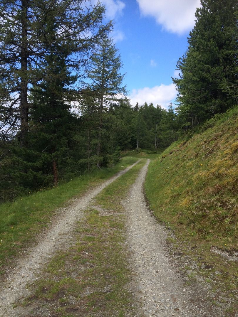
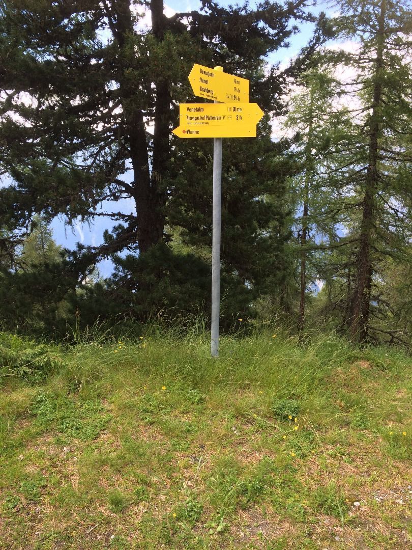
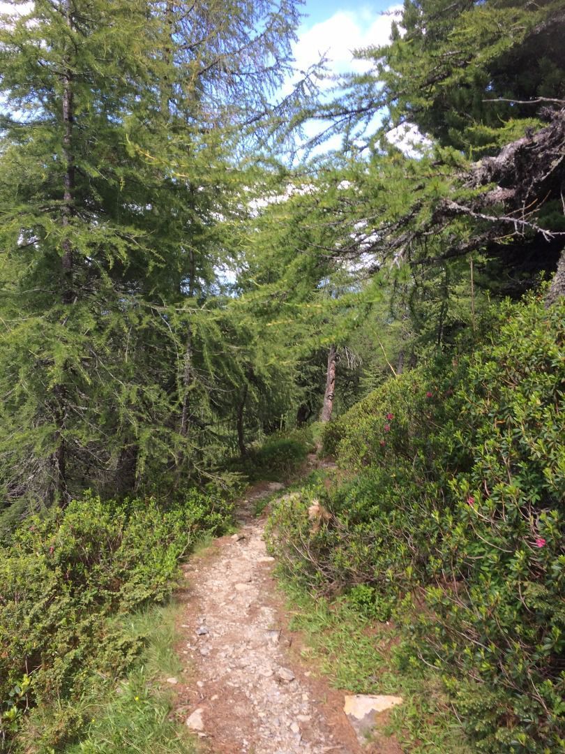
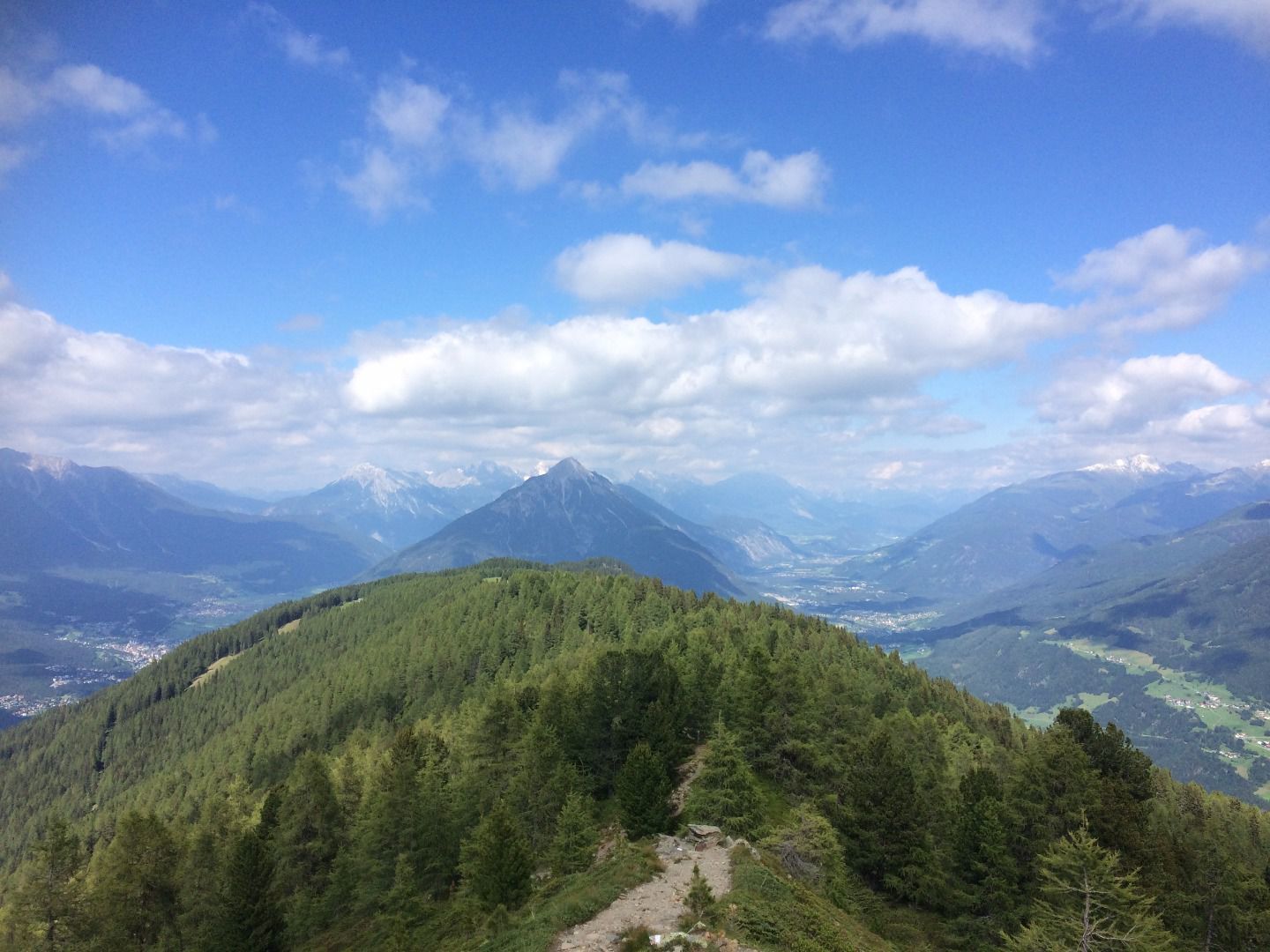
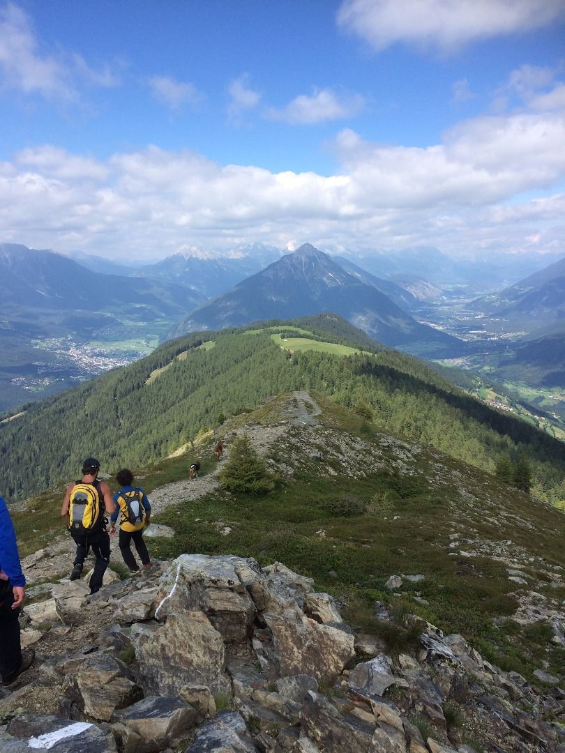
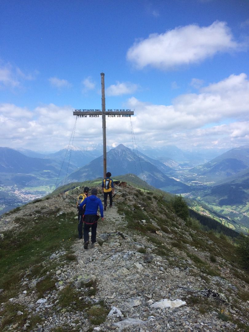
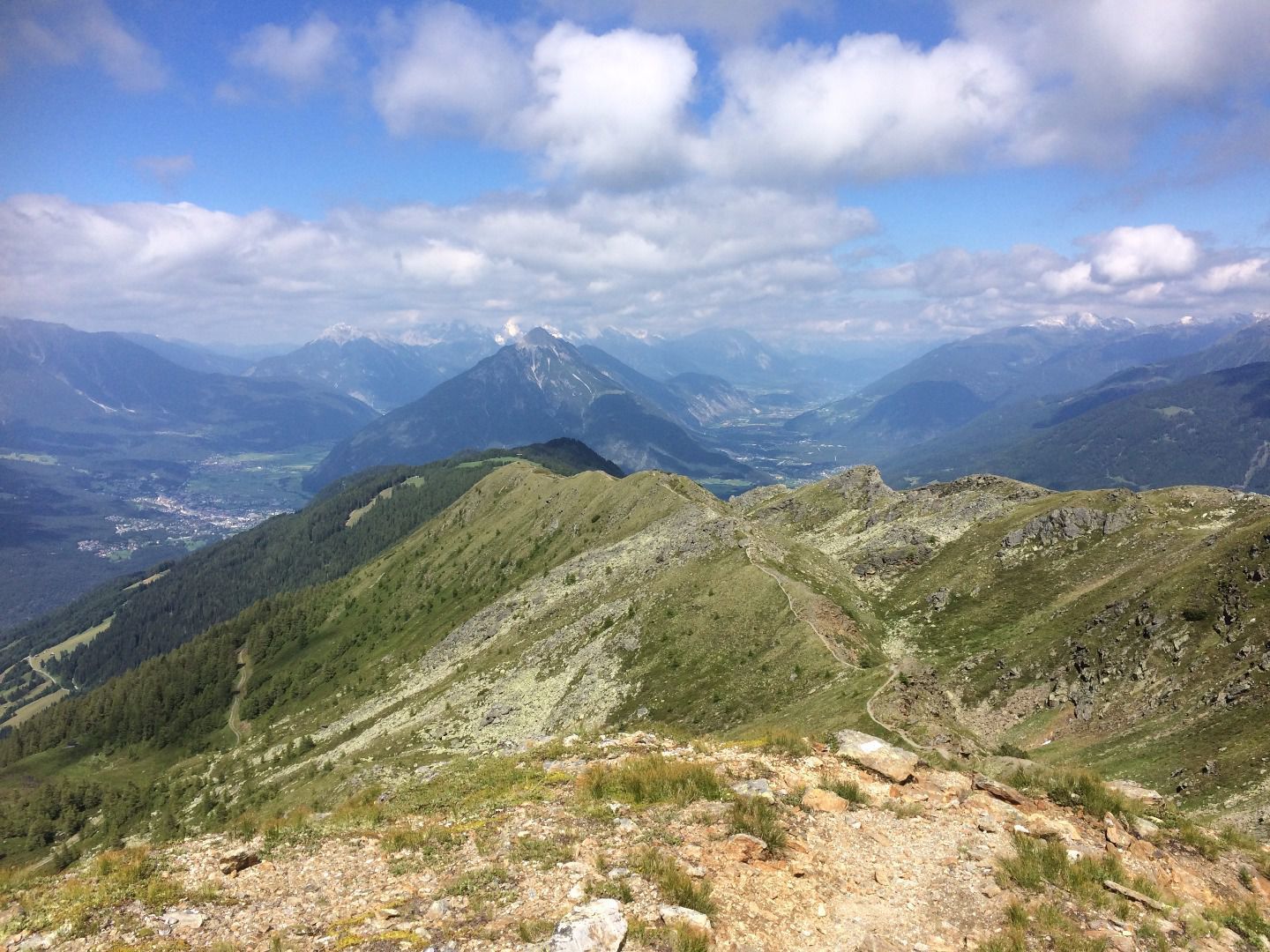
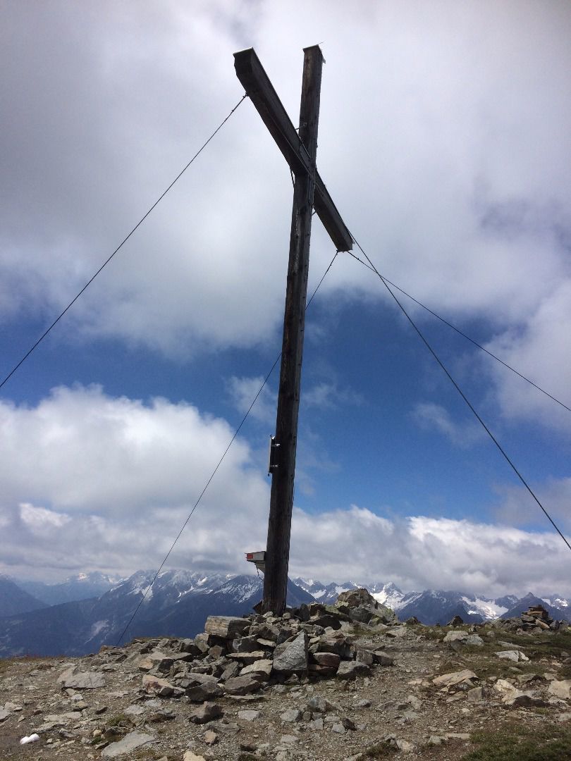
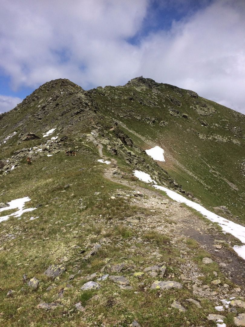
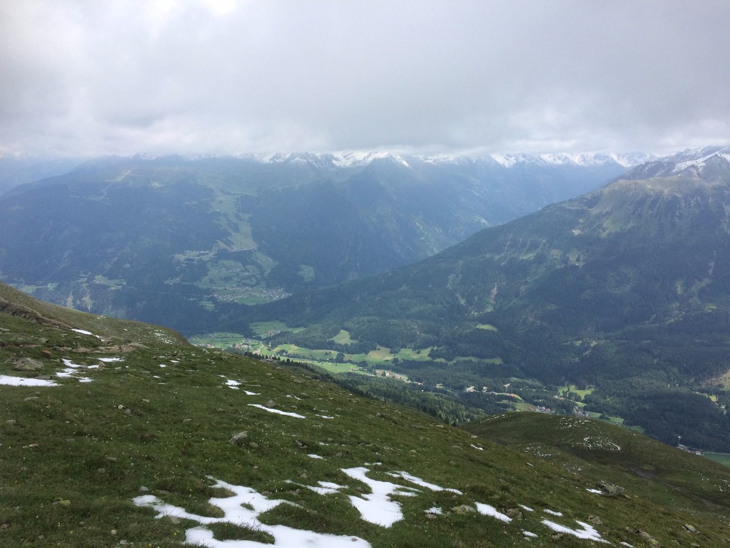
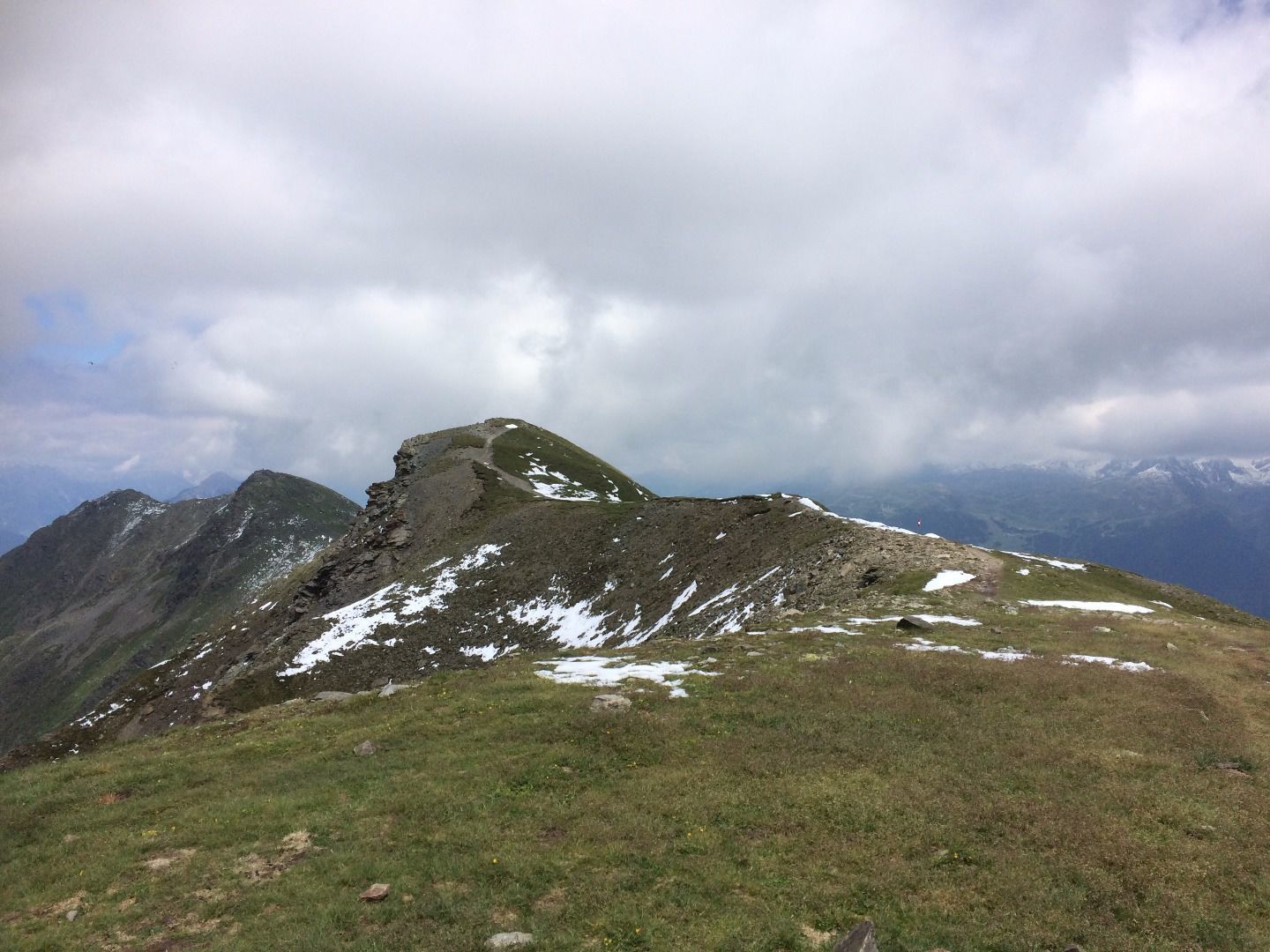
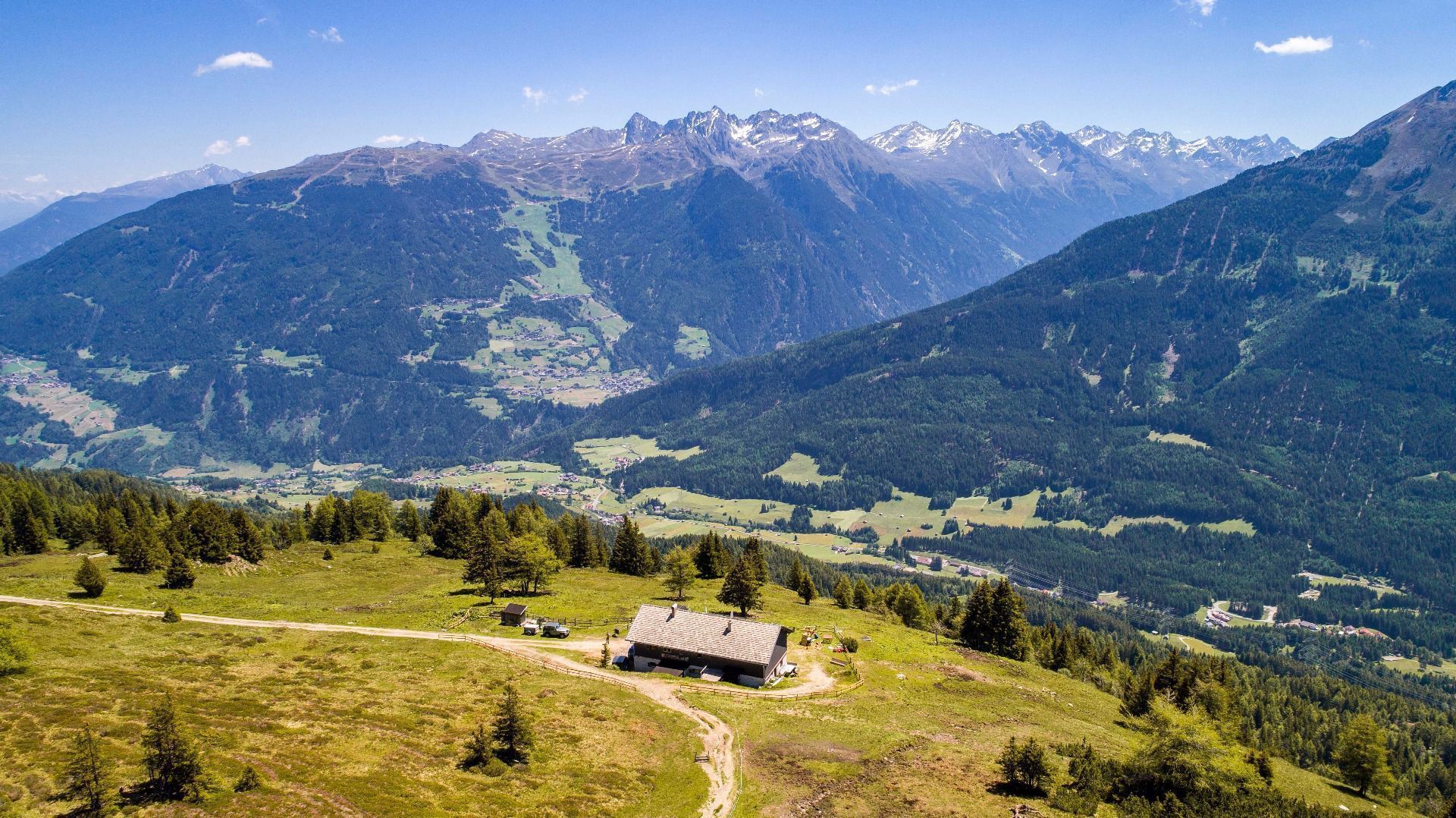
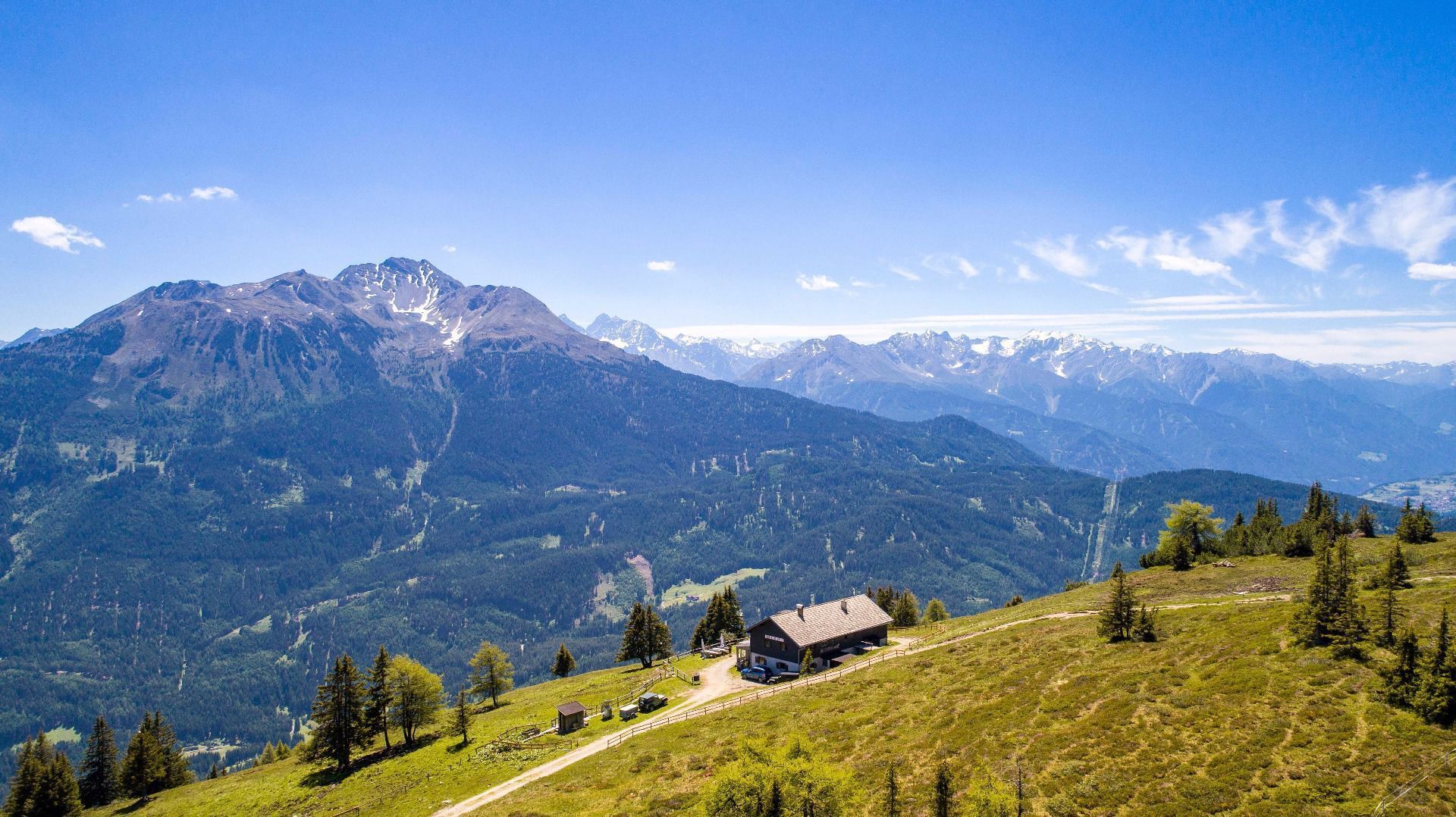
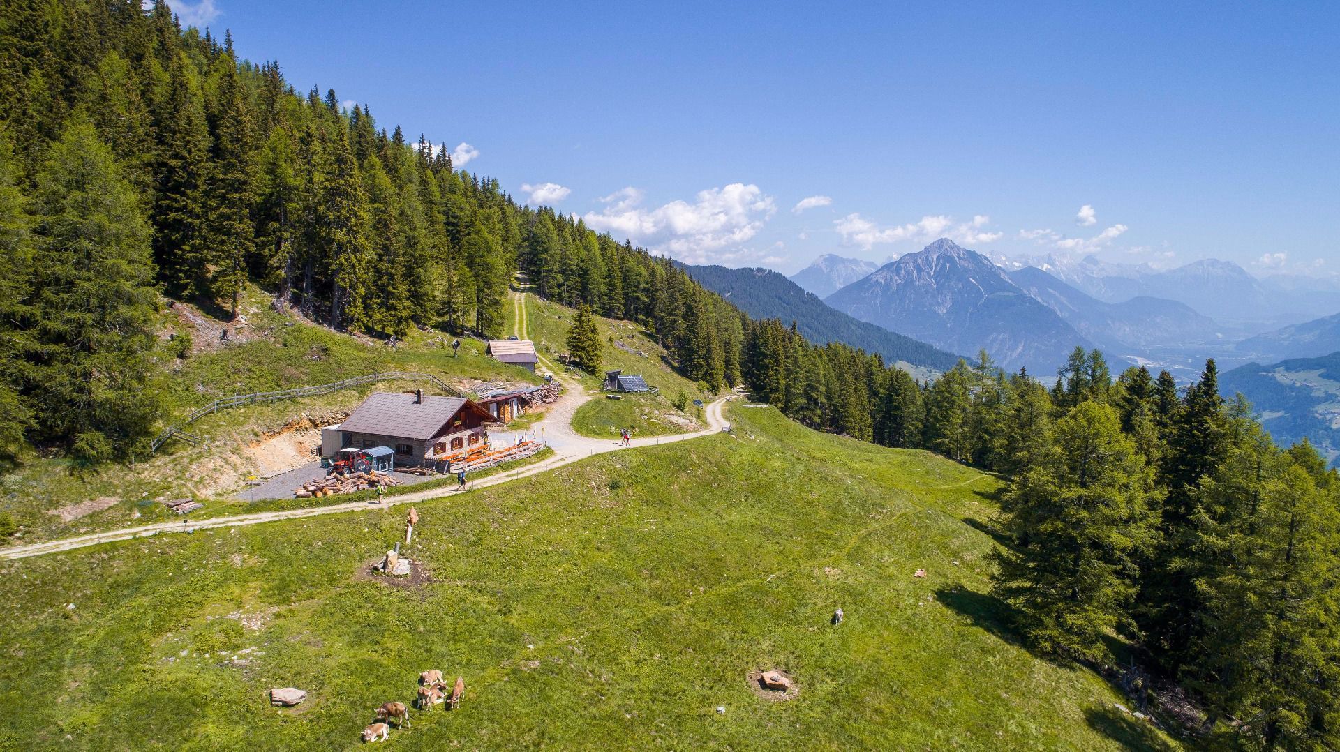
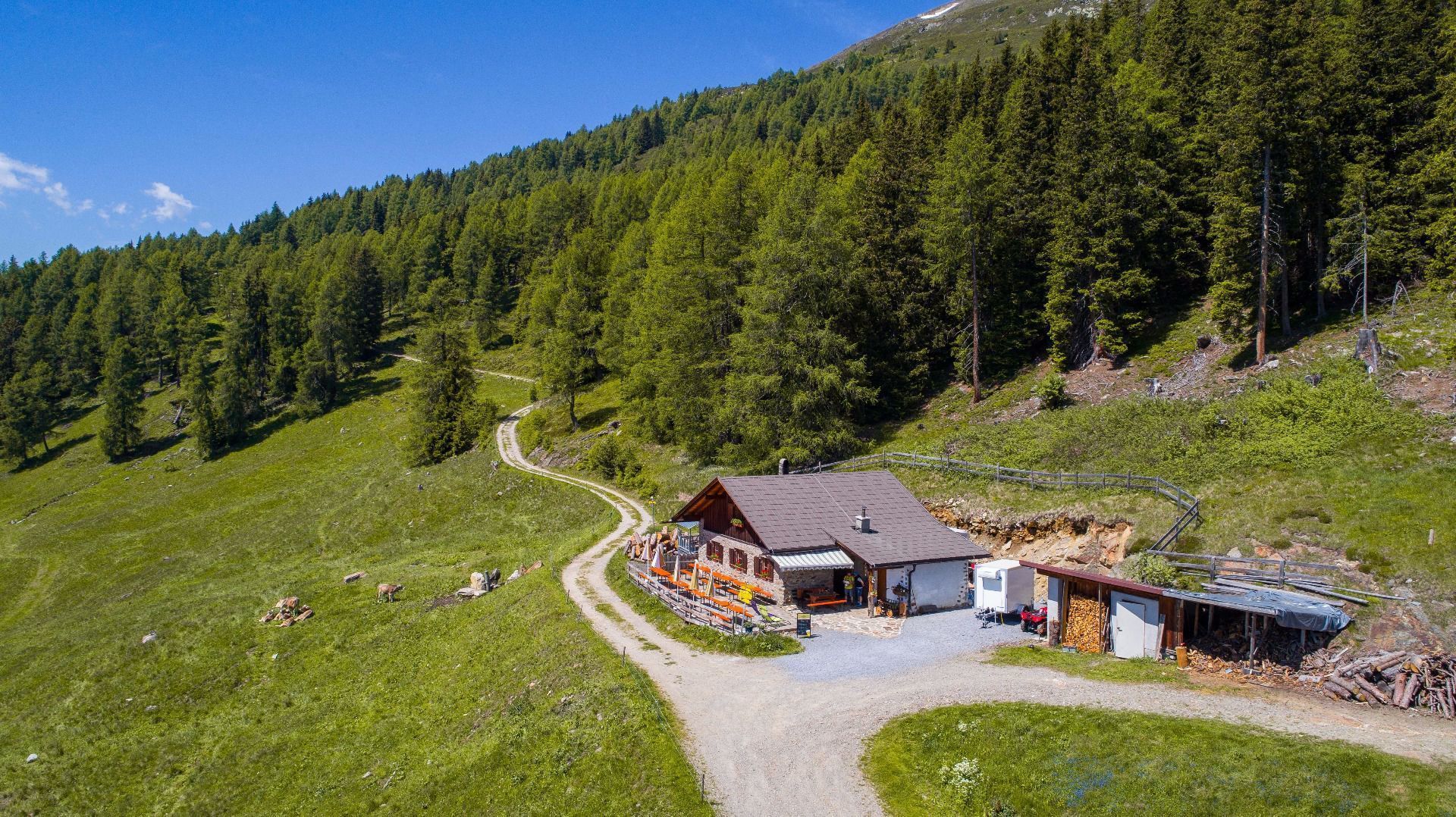
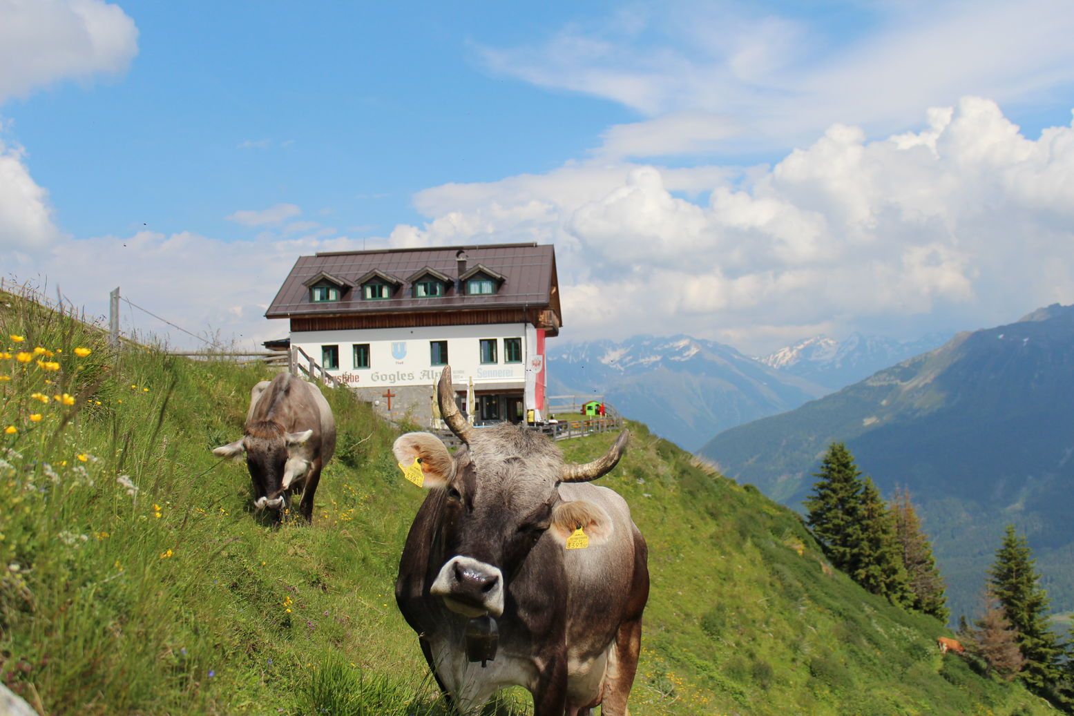
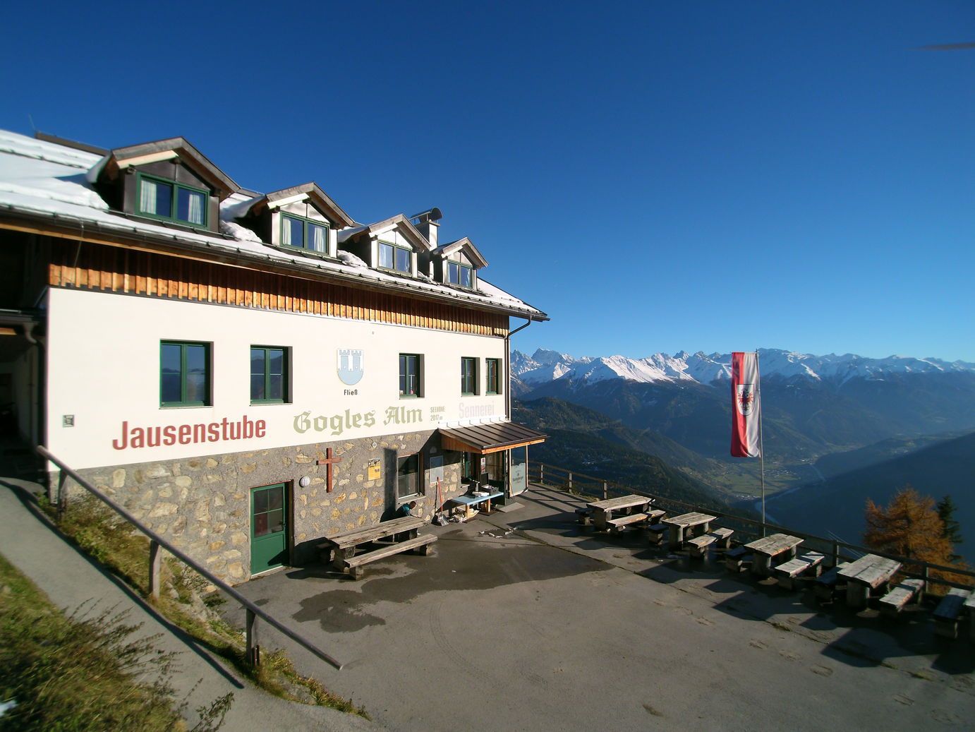
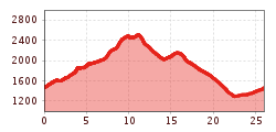
Starting point: Plattenrainalm. From there walk in the direction of the catered mountain hut Venetalm (approx. 2 hrs). Continue further over the mountain ridge of the Venet, which affords fantastic panoramic vistas of the upper Inn valley, the Gurgltal and Pitztal valleys as well as the lower Inn valley all the way down to Telfs. After approx. 2 hrs you will reach Venet, where the path forks off in the direction of the cate red mountain hut Goglesalm. The three catered mountain huts Goglesalm, Galflunalm and Larcheralm each offer opportunities for a well-earned refreshment pit-stop. You may also wish to stay overnight on the Galflunalm or the Larcheralm. Continue your hike (possibly on the following day) in the direction of Audershof (approx. 1 hr walking distance from the
Larcheralm). After another 1.5 hrs you will return to your starting point at Plattenrainalm.


