
Difficulty:medium
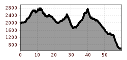
Length:12.7 kmDuration:4:00 hElevation uphill:382 m
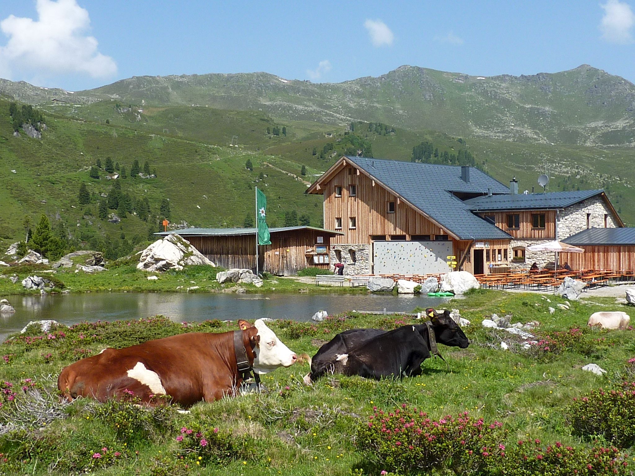
The Red Path is a connecting route between the eight Alpine countries. It crosses the main Alpine ridge several times to connect Trieste with Monaco via Tyrol, Bavaria, and Liechtenstein. Variants of the Via Alpina From the Inn Valley heading south - Tux Alps (alternative route to the standard stage R38) in 4 daily stages

_WaLogo.jpg")


.jpg")


.jpg")


