Arrival by public transport
Bus stop Prägraten a.G. Wallorn
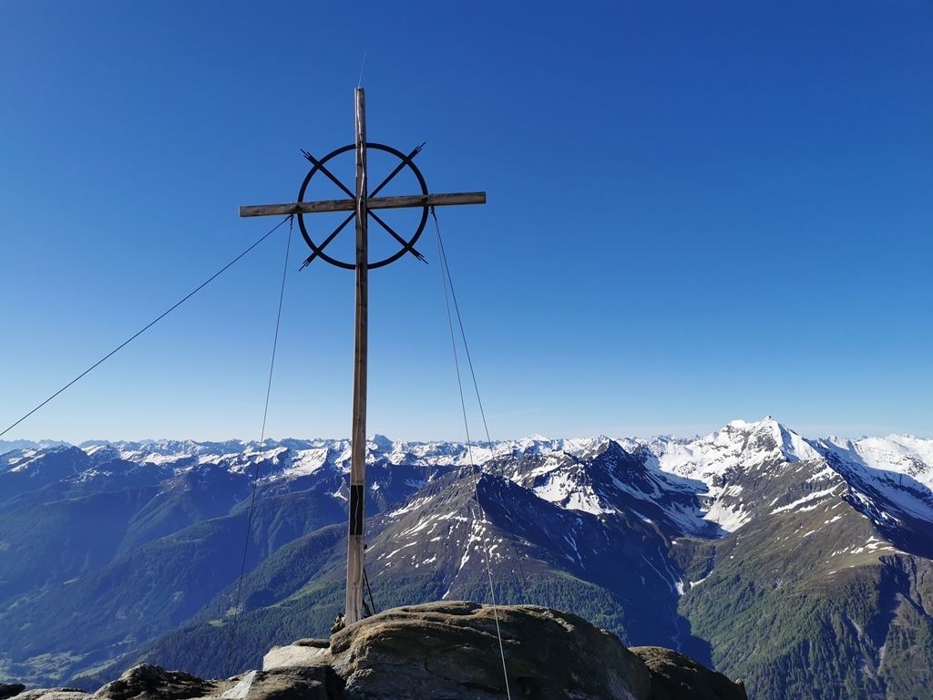
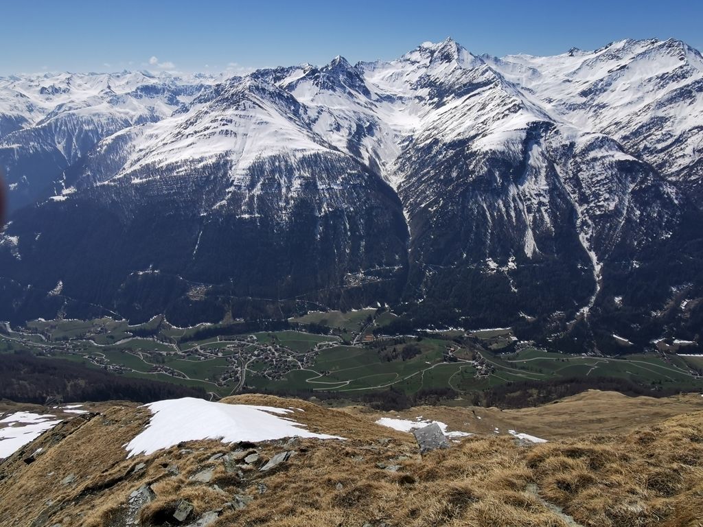
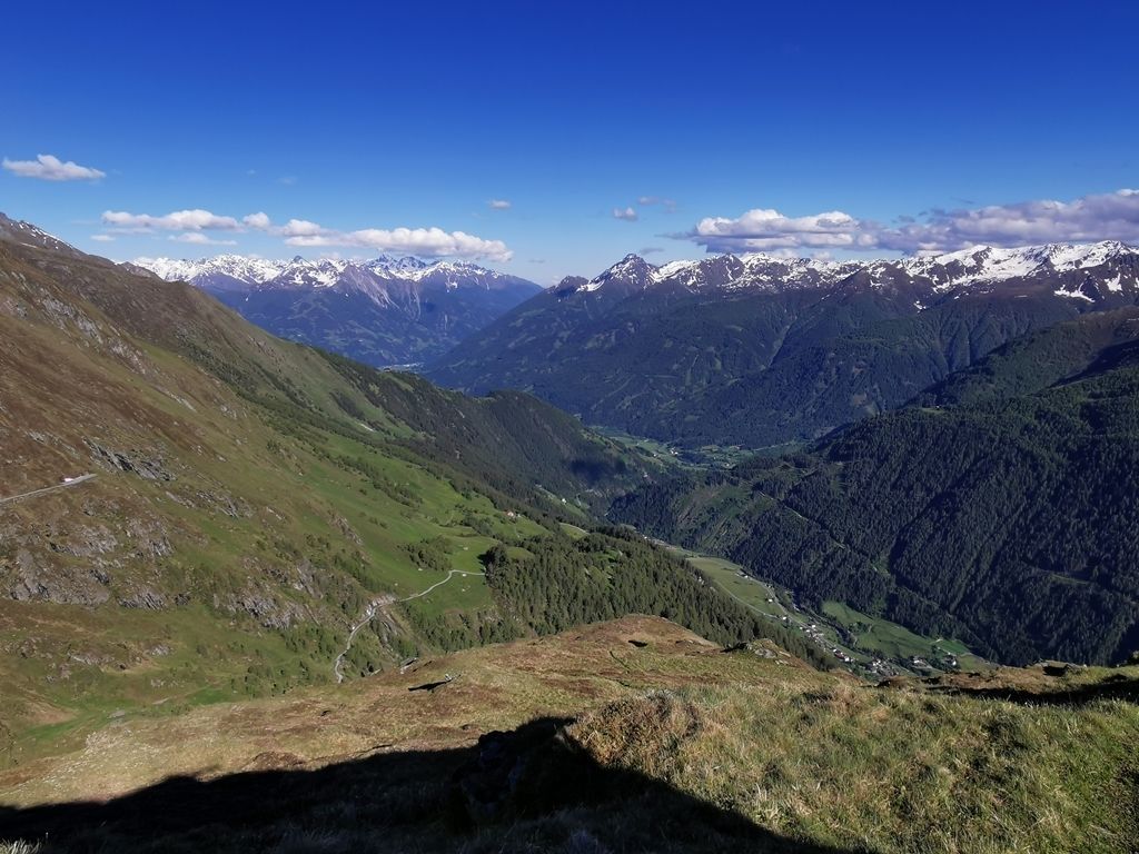
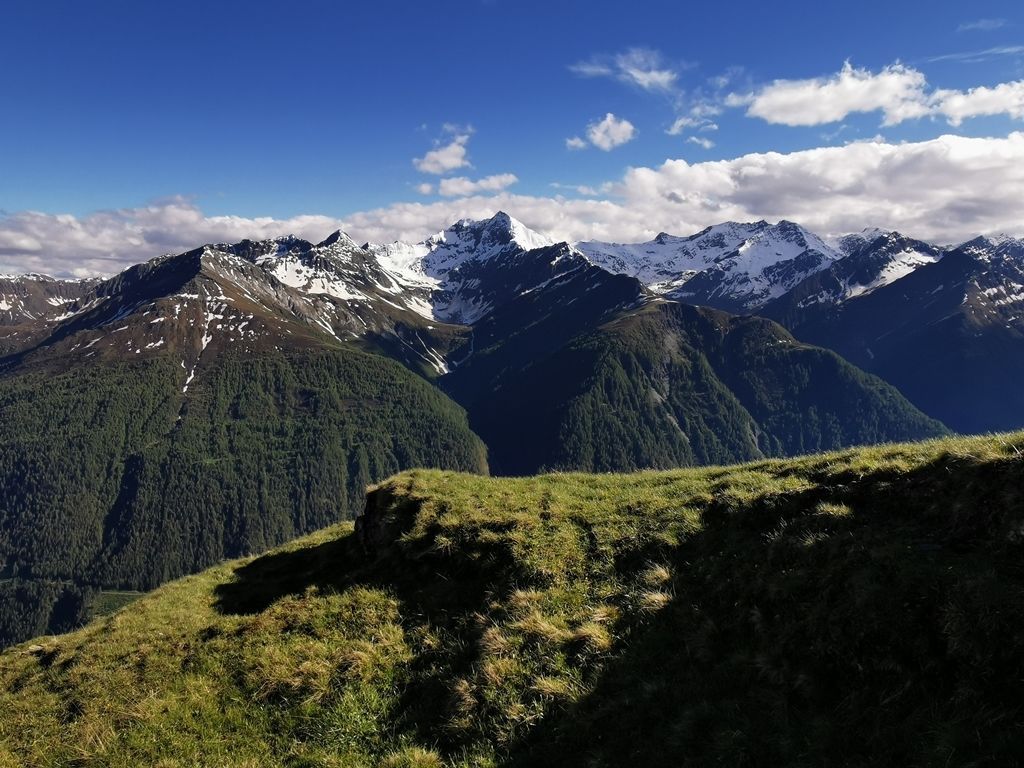
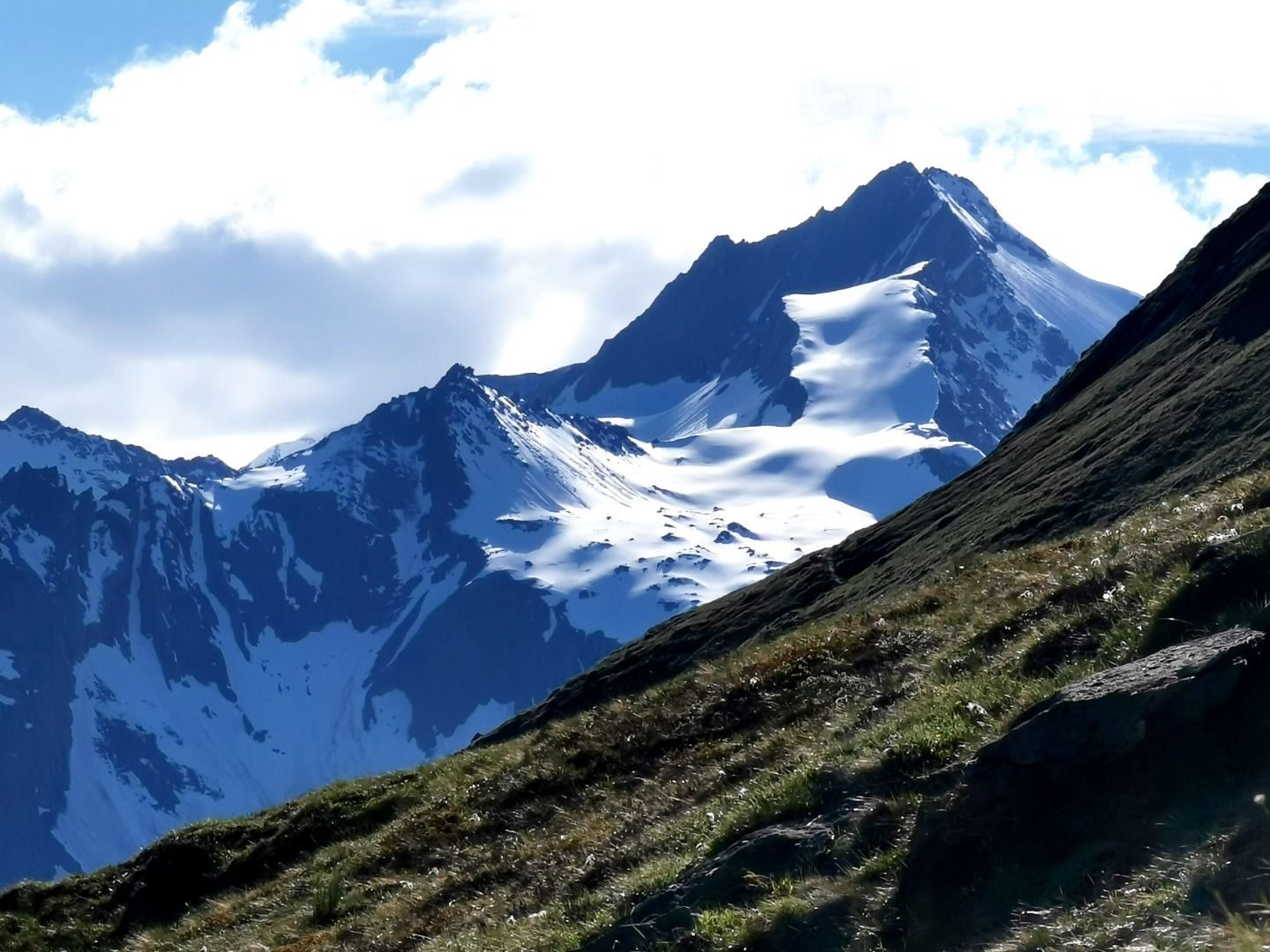
The "Vorderer Sajatkopf" is Prägraten's local mountain and offers a very impressive view of the Venediger community.
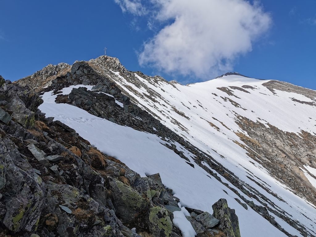
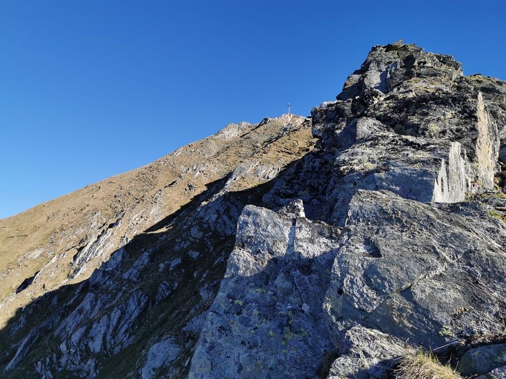

Hiking trail, mountain meadows, rocky ridge, short climbing sections!
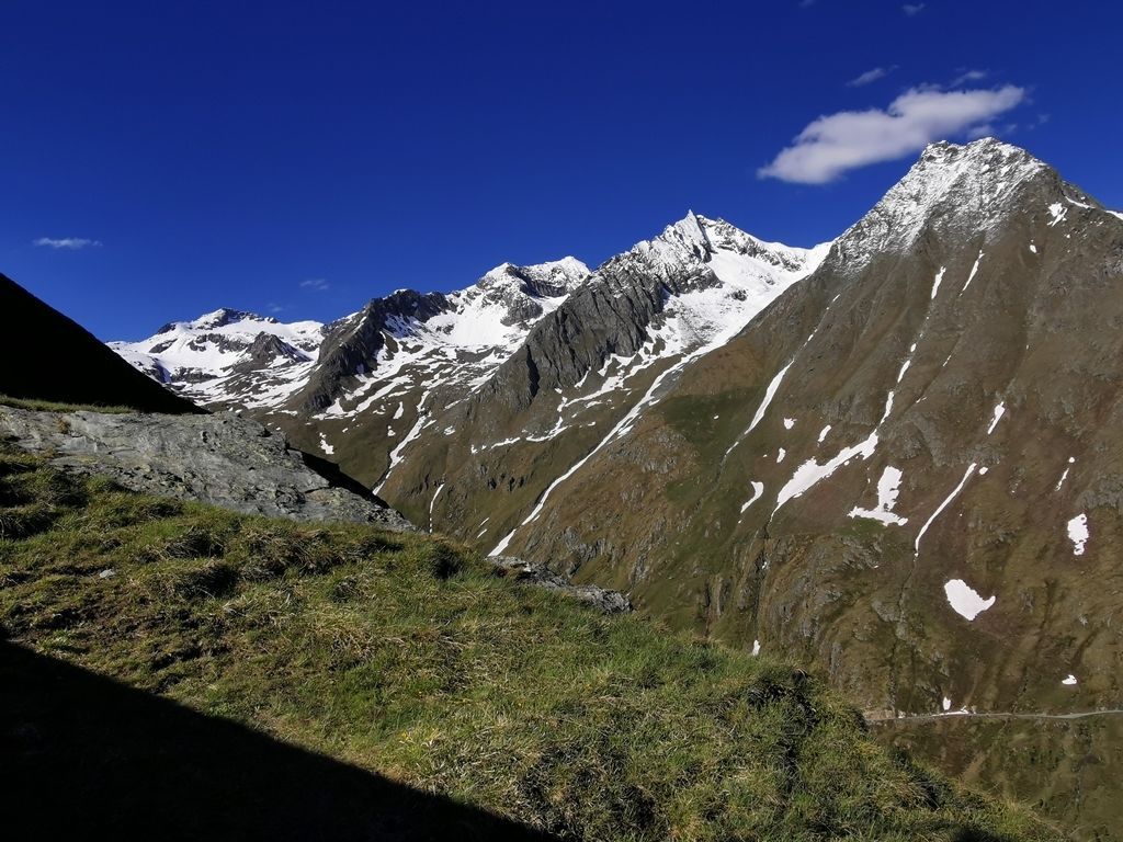
The shortest and easiest approach leads from the "Bodenalm" car park (1,680 m) along the road to the hut of the same name, and from there along the new road into the Timmeltal valley. Alternatively, shortly after the Bodenalm (stone monument), you can also take the parallel hiking trail no. 28; at the fork opposite the Wallhorner Alm, climb southwards (no. 23b) to the so-called "window", where you can enjoy a short rest and a unique view of the entire Virgental valley and the mountains of the Lasörlinggrupe. Continue the ascent in a north-westerly direction on steep meadow terrain until you reach the ridge crest and then move higher, mainly on the right-hand side of the ridge. The last section to the summit requires concentration and a sure footing before you can ring the cross bell and enjoy the marvellous panoramic view.
Tip: Bodenalm - Timmeltal mountain bike route (No. 129)
Bus stop Prägraten a.G. Wallorn
Car park Bodenalm


.jpg")


")


.jpg")


