Mountain hikes Walchsee - Priener Hütte - Breitenstein - Karkopf - Kössen

Walchsee / Chiemgau Alps
Difficulty ratings: medium
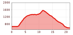
Route length: 21.6 km
Duration: 7:00 h

Trail. Nr. 54, 47a, 3, 14, 8, 87, 24
Tour information

  • Requirement: medium
  • Length: 21.6 km
  • Duration: 7:00 h
  • Elevation uphill:1,200 hm
  • Elevation downhill:1,200 hm
Highest point1,661 m

Starting point

Walchsee

Finishing point

Kössen
  • Fitness level 6 / 6
  • Technique 6 / 6

Best time of year

  • January
  • February
  • March
  • April
  • May
  • June
  • July
  • August
  • September
  • October
  • November
  • December

Trail condition

Forest Road, Hiking Trail

Equipment

Breathable outdoor clothing suitable for the weather, sturdy footwear, food (snacks, drinks),
sun protection (sunglasses, sun cream & cap), rain protection, cash; guest card if using the bus
Source: TVB Kaiserwinkl

Description

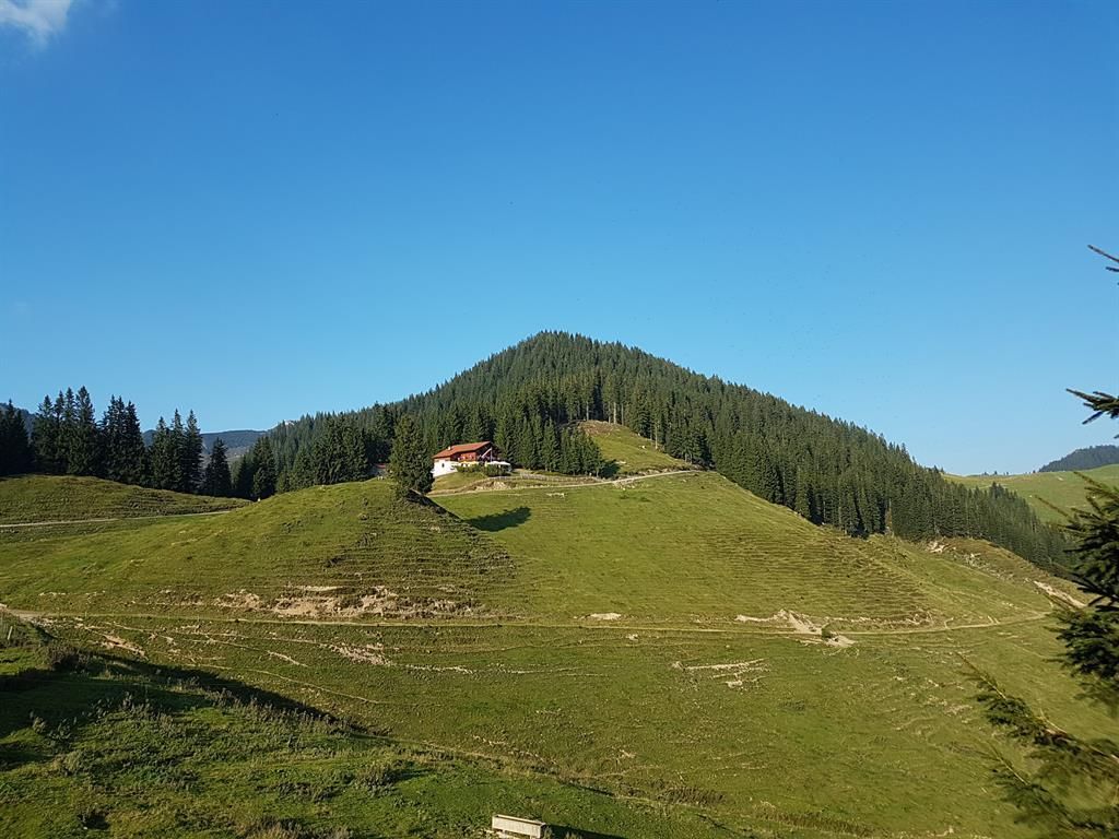
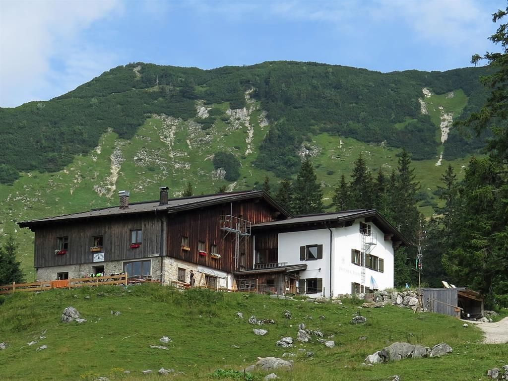
Start at the Walchsee Information Office; head northwest toward Schwemm, the largest remaining moorland area in North Tyrol. Just before the golf course, turn north and follow the signs toward Wandberg. Hike up via the Hitscheralm to the Wandberghütte and Burgeralm (places to stop for refreshments), then continue across the state border to the Ackeralm and the Priener Hütte. From here, follow a trail to the highest point of the hike, the Breitenstein at 1,661 m. Beyond the summit, follow the trail toward Karkopf. From here, follow the signs via the Karalm down into the valley toward Kössen.

Getting here

  • Parking

    in the village centre of Walchsee or at the Schwemmturm

More tours in the surrounding area

Newsletter

The mountain is calling? So does our newsletter!

In our monthly newsletter we reveal the best holiday tips for Tyrol.