Arrival by public transport
Take the train to Pill-Vomperbach station, then walk 10 minutes to the starting point at Gasthof Klausen
Plan your route easily using the VVT Smartride app or VVT route planner.
A romantic walk along the stream in the narrow Pillertal valley, with the waterfall as the highlight.
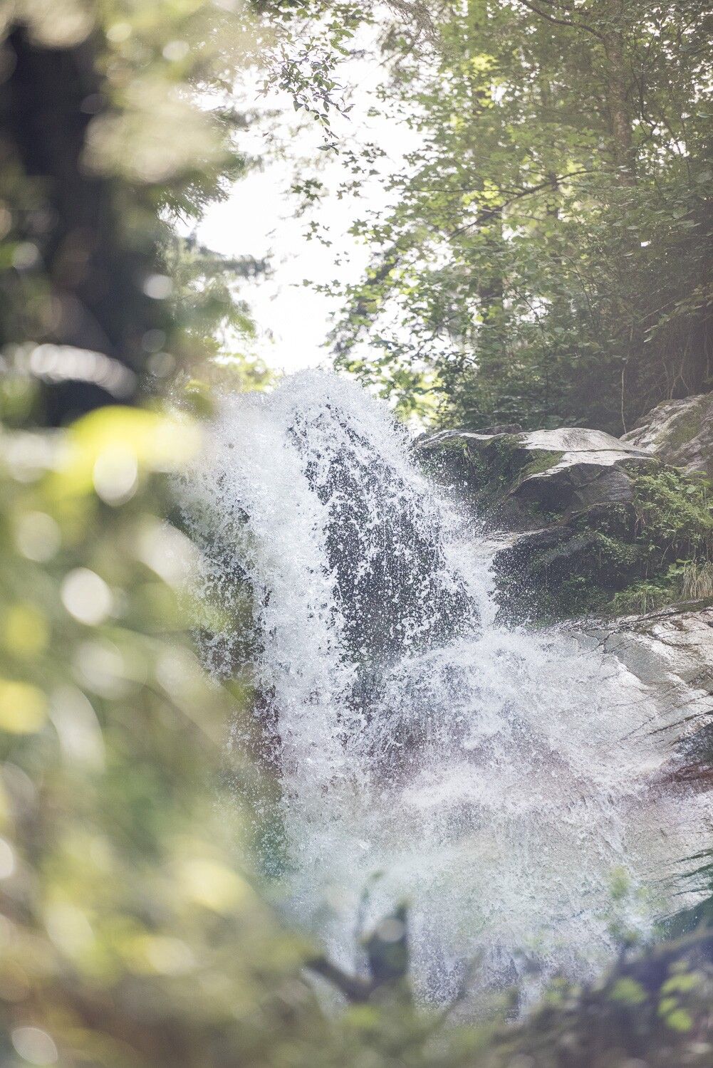
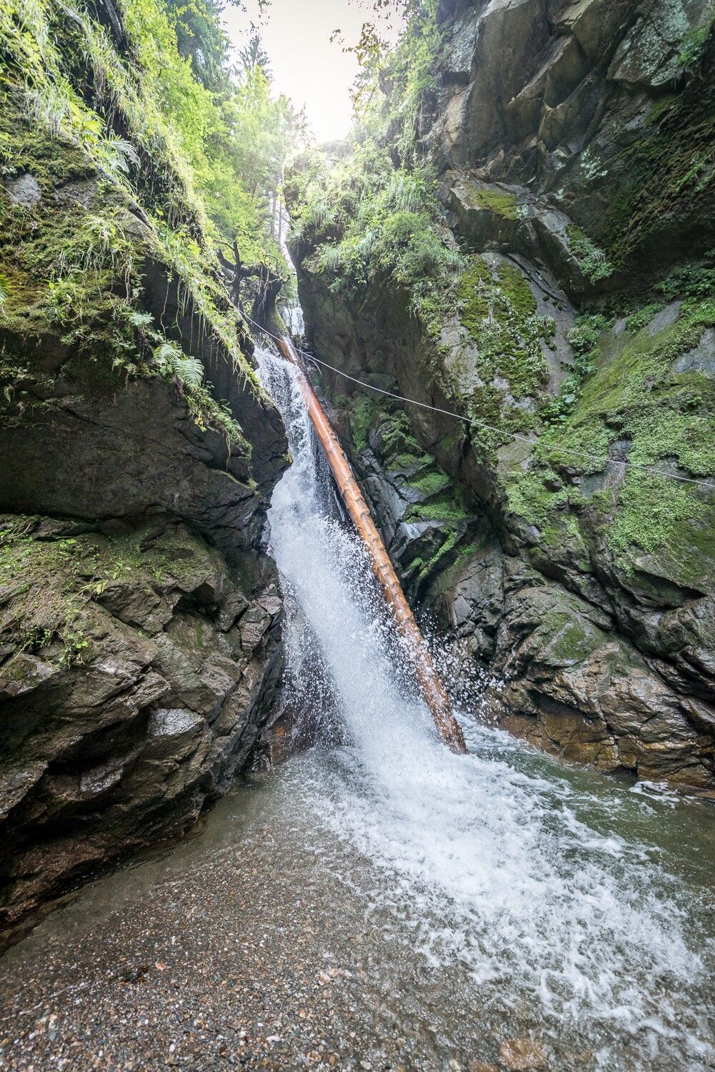
This short but very varied route was created by the Schwaz Pioneers. Wide forest tracks, narrow steep paths by the waterfall and a meadow teeming with small wildlife make for a family-friendly and eventful hike. However, the path along the Pioniersteig is very narrow and steep and is therefore only suitable for older children.
Take the train to Pill-Vomperbach station, then walk 10 minutes to the starting point at Gasthof Klausen
Plan your route easily using the VVT Smartride app or VVT route planner.
Pill municipal car park (short-stay zone: 90 minutes)


.jpg")


.jpg")

